Feature · 5 min read
Is Nissho Pass worth a stop for roadside touring?
Route 274 climbs to 1,022 m where it crosses the Hidaka Range between Sapporo and the Tokachi plain, and its plowed lots put three peaks within a short skin of the car. We set them side by side from the Hokkaido Wilds guides and our own reading of their GPS tracks.
By Adam BognarPublished
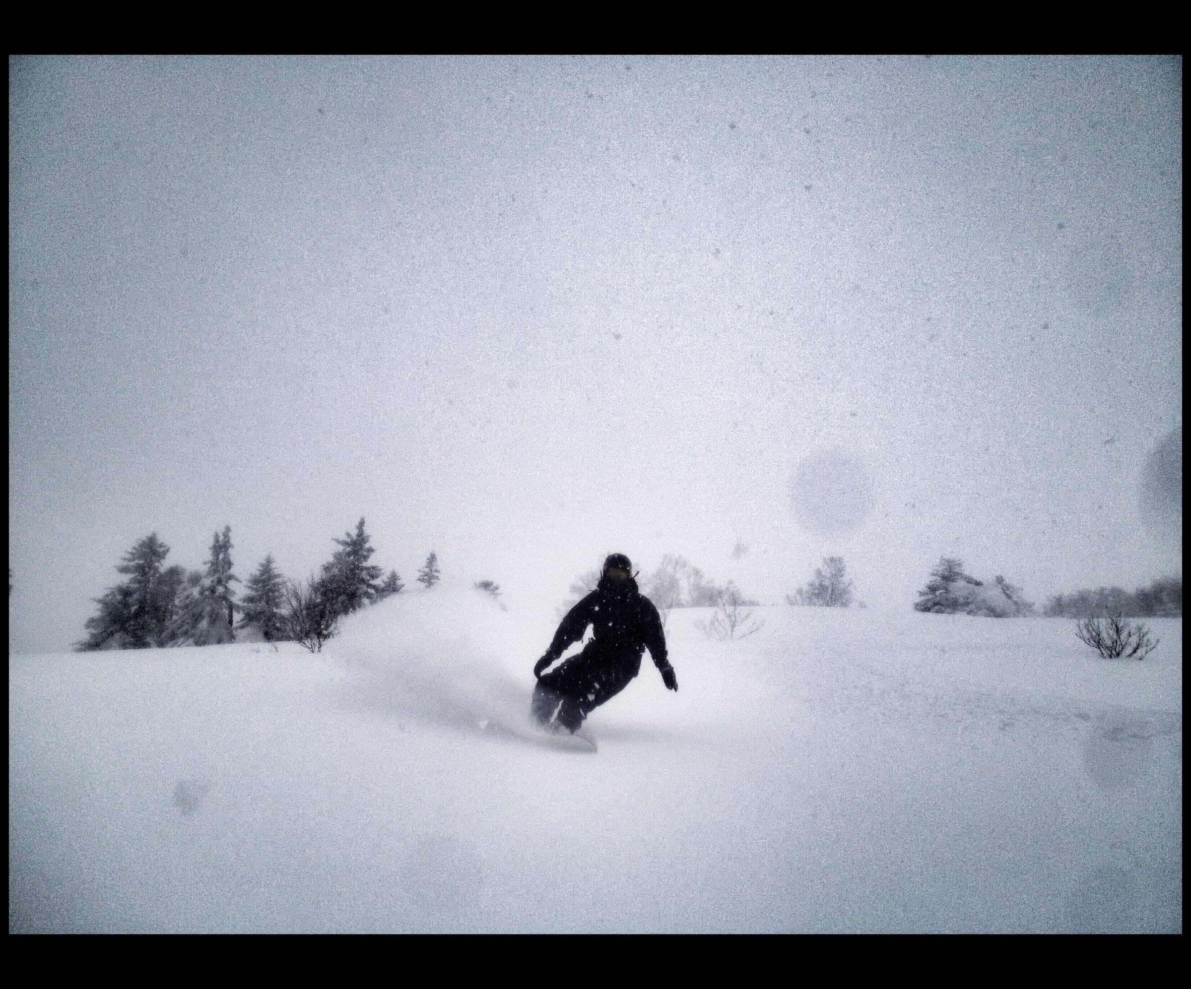
Nissho Pass is worth a day for a self-reliant touring party driving Route 274 between Sapporo and the Tokachi plain, because three peaks start from plowed lots beside the road and their climbs run from 380 to 820 m. No avalanche bulletin covers these Hidaka peaks directly and none of the guides in our directory works here, so the pass suits riders who already plan and lead their own tours, or a party that brings a certified guide along.
Nissho Pass sits at 1,022 m by Hokkaido Wilds' figure. Trucks grind over it day and night between Sapporo and Obihiro. It runs cold up here, and Hokkaido Wilds gives midwinter temperatures below −20°C before you count the wind. Treeline sits around 1,200 m. Between storms the wind strips the exposed slopes, and haimatsu (creeping dwarf pine) pokes through near the tops when the cover thins.
| Peak | Start | Published climb, distance, time | Our GPS-track figures | Descent aspect |
|---|---|---|---|---|
| Pekerebetsu-dake (1,532 m) | Pull-out at about 665 m, about 10 cars | 820 m, 7 km, 3.5 hr up and 1 hr down | 6.8 km, 810 m climbing, top 1,505 m | East |
| Nissho Peak (1,445 m) | Large lot at the Nissho Tunnel west portal | 379 m, 3 km, 1.5 hr up and 30 min down | 3.0 km, 370 m climbing, 1,024–1,427 m | North |
| Soshubetsu-dake (1,383 m) | Chisaka parking area, nearly 800 m | 570 m, 11 km, 2.5 hr up and 30 min down on spring snow | 11.1 km, 800 m climbing, 786–1,367 m | South |
Published figures come from the Hokkaido Wilds route guides. We computed ours from the unsimplified Hokkaido Wilds GPS tracks, summing each climb of 10 m or more after a five-point median filter. That method counts every rise along the Soshubetsu loop, so our climbing figure there runs well above the 570 m net climb the guide publishes. The highest elevation in the Pekerebetsu track reads 1,505 m, 27 m under the published summit.
Which peak gives the best riding?
Pekerebetsu-dake gives the biggest descent, and it asks the most of you. From the pull-out about 7 km below the top of the pass on the Tokachi side, you follow a forestry road for a few hundred metres, cross a small stream and head southwest along the north side of the main creek. After about an hour you drop into the creek and pick a ridge.
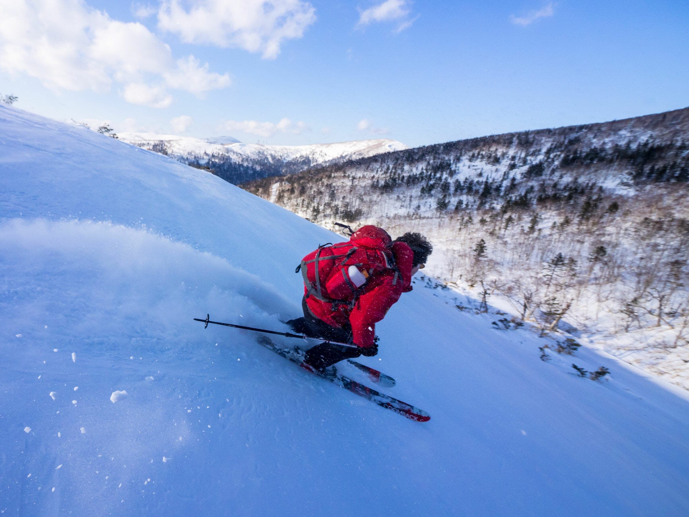
The Centre Ridge is easier to reach and finishes on a very steep approach. A bluff guards the foot of the North Ridge spur, and the Hokkaido Wilds party got past it by climbing a due-west gully for about 300 m. From there they zigzagged up the spur to the high ridge and ground out a very steep final 100 m. Big cornices line the top. The east face is the descent, with direct lines and deep powder on the right day, and on a clear summit you look across the Tokachi plain to the Daisetsuzan peaks.
Prevailing northwest winds load those east-facing slopes and build the cornices above them. On that trip the party met breakable crust and wind drifts on the lower plateau, and the shaded descent was icy. Treat the east face as a stable-day objective and turn around at the cornice line if the wind has been working.
Which peak suits a short or stormy day?
Nissho Peak is the quick option. From the big lot at the west end of the Nissho Tunnel it takes about an hour and a half up the north ridge to 1,445 m, then half an hour down open north-facing slopes. In the low-snow year of 2019 dwarf pine showed through at the summit and a strong wind blew up from the Tokachi plain. The run off the top still held powder well to skier's right toward the gully.
Soshubetsu-dake starts lower at the Chisaka parking area. Cross Route 274 on foot to the north side, then follow about 3 km of forestry road to around 1,050 m before the route turns north through old forest. On 11 March 2023 that road was frozen hard for the first 45 minutes. From treeline at about 1,200 m it is only about 20 minutes up a wide, mellow slope to the summit, and Tomamu's snowcats arrive there from the far side. Keep off their track and watch for machinery, since the track drops away steeply in places and is easy to miss in low light. On the way down, many small gullies and spurs don't show on the map.
Who covers the avalanche forecast and rescue?
Nobody publishes a recreational avalanche forecast for these peaks. Hokkaido Wilds points riders to the volunteer Furano Avalanche Center and the Japan Avalanche Network bulletin for Daisetsu and Tokachi. That bulletin doesn't name the Hidaka peaks, and its 2025/26 season ended on 15 March 2026, right as the pass comes into its best month.
Backcountry riding at Nissho Pass needs avalanche training, a beacon, a shovel and a probe for every rider, and anyone new to the zone should hire a certified guide. Our directory lists no operator that works the pass, so start with the Hokkaido Wilds guide to Hokkaido backcountry guides and ask whether the guide knows the Hidaka side. File a climbing plan with police through Compass before you leave the car.
Route 274 is the main freight road across the range, and every trailhead sits beside it. Get the car fully off the carriageway, and put skins on away from the traffic.
When should you go?
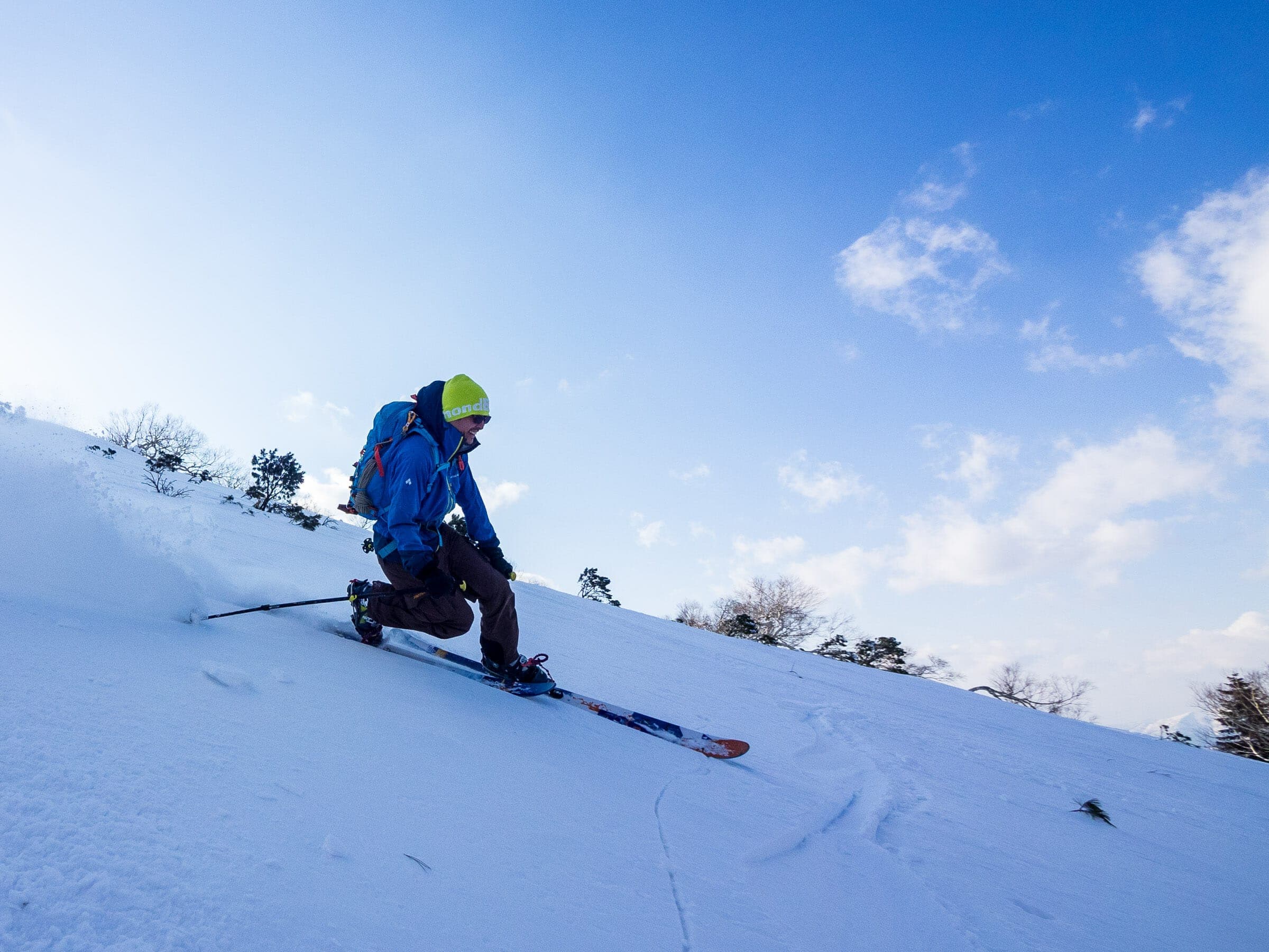
Go in March if you can. Hokkaido Wilds calls it the recommended month for touring in the area and gives January to April for Pekerebetsu-dake. Nissho Peak's season stretches into May, and the Soshubetsu-dake guide stops at March. Midwinter brings the coldest snow along with the hardest wind, which strips the upper slopes to breakable crust and shaded ice between storms.
Where do you stay nearby?
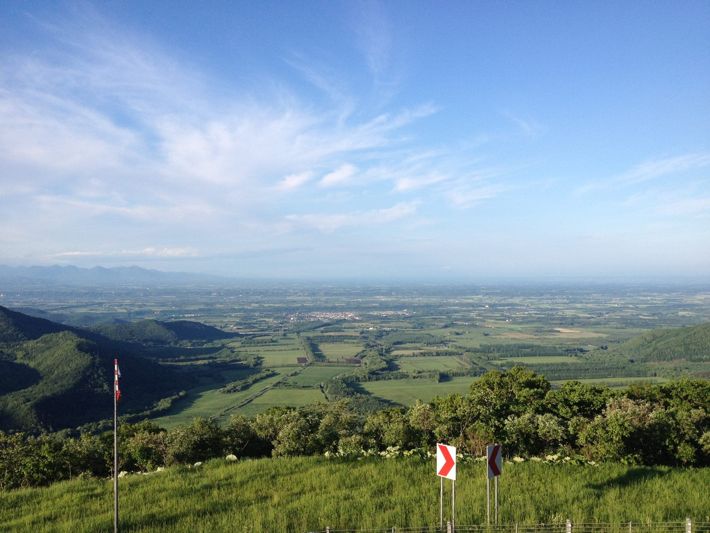
Shintoku lies on the Tokachi side at the western edge of the plain and doubles as the station for Sahoro. Tomamu is close enough to pair a resort day with a tour when the wind is up on the ridges. Farther east, Obihiro has the city restaurants, and Tokachigawa Onsen outside it pours amber moor water that leaves your skin slick after a cold day.
How we researched this
We compiled this from the Hokkaido Wilds route guides and trip reports and the Japan Avalanche Network, checked in October 2026. Track figures are computed by Ride Hokkaido from the Hokkaido Wilds GPS files. Nobody from Ride Hokkaido toured Nissho Pass for this piece.
Quick answers
Where do you park for ski touring at Nissho Pass?
Nissho Pass has three plowed starts on Route 274. Pekerebetsu-dake leaves from a pull-out at about 665 m with room for about ten cars. Nissho Peak starts at a large lot by the west portal of the Nissho Tunnel, and Soshubetsu-dake at the Chisaka parking area near 800 m.
What is the best month for ski touring at Nissho Pass?
March is the best month for ski touring at Nissho Pass, according to the Hokkaido Wilds guidebook. The season runs from January, and midwinter temperatures there fall below −20°C before wind chill.
Is there an avalanche forecast for Nissho Pass?
No recreational avalanche forecast covers the Nissho Pass peaks directly. Riders read the Japan Avalanche Network bulletin for Daisetsu and Tokachi, which ended its 2025/26 season on 15 March 2026, and the volunteer Furano Avalanche Center.
How long does Pekerebetsu-dake take to ski tour?
Pekerebetsu-dake takes about 3.5 hours up and 1 hour down for 7 km and 820 m of climbing to its 1,532 m summit, by Hokkaido Wilds' published figures. Our reading of the GPS track gives 6.8 km and 810 m of climbing.
We write from operators’ and agencies’ own pages, open map data and published research, and we date every fact we check. How we research.