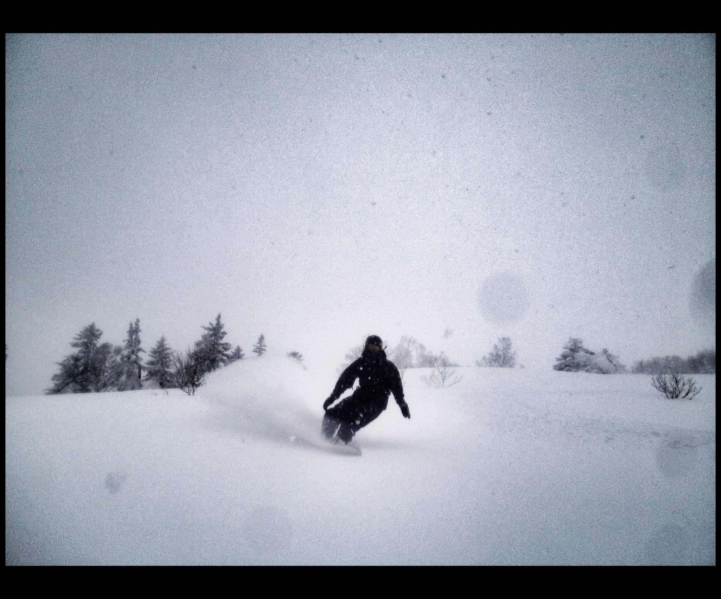
Nissho Pass (Pekerebetsu-dake and Nissho Peak)
日勝峠42°57′ N 142°46′ Eadvanced1,532 m
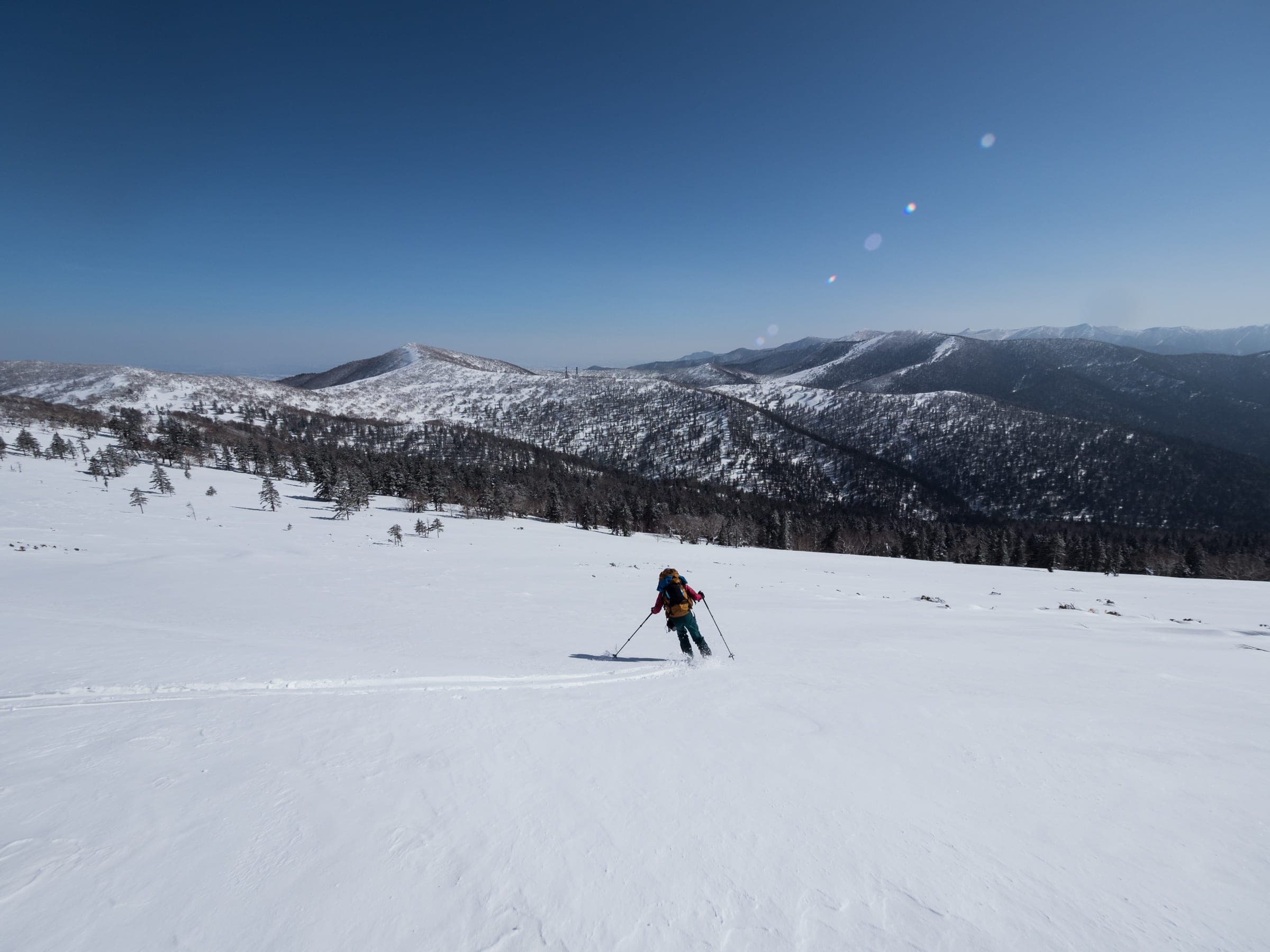
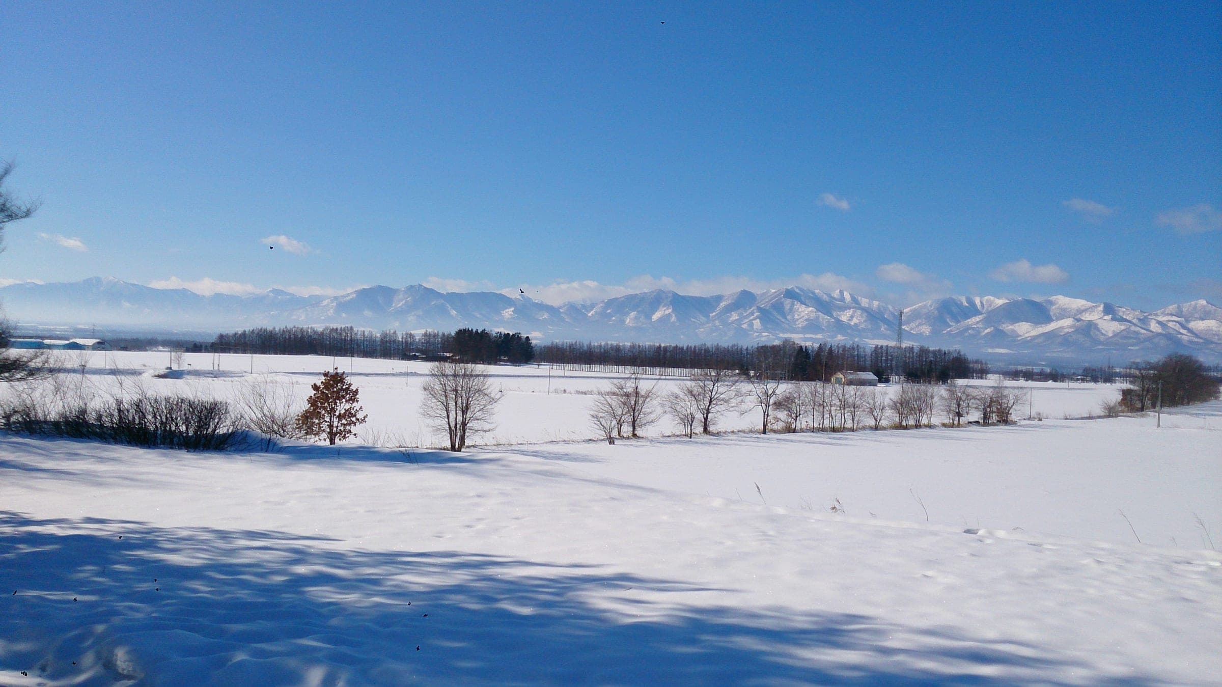
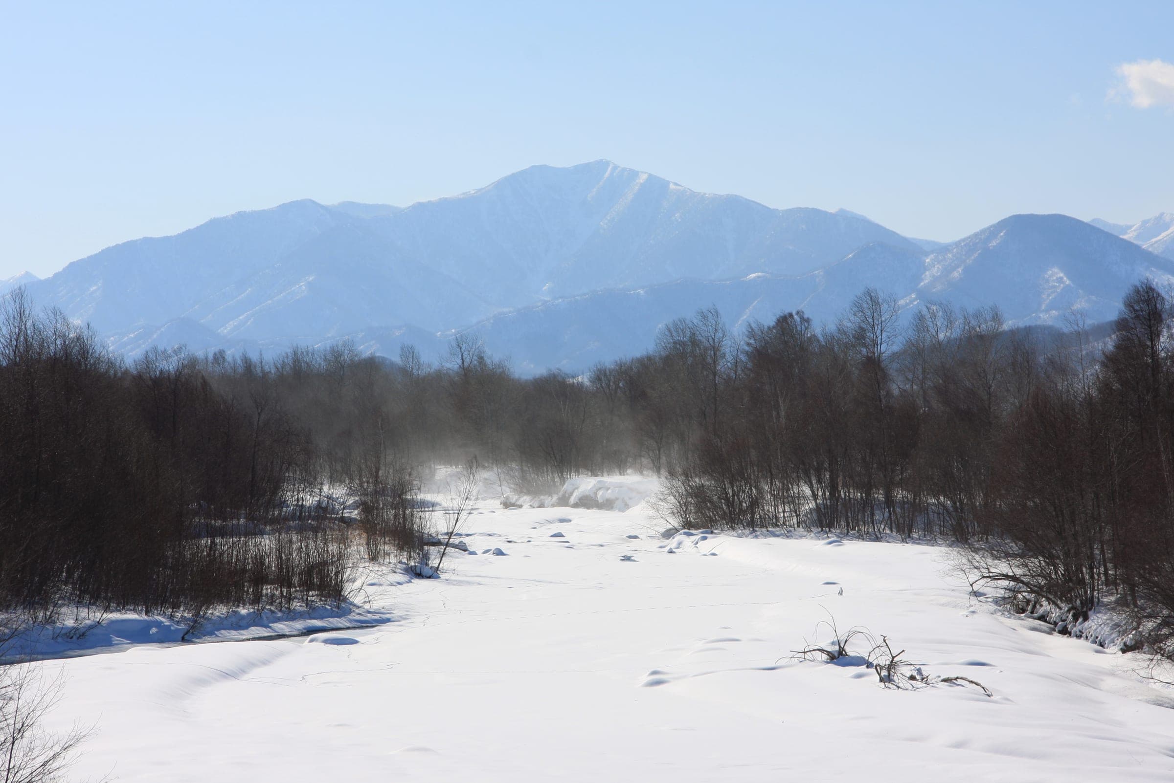
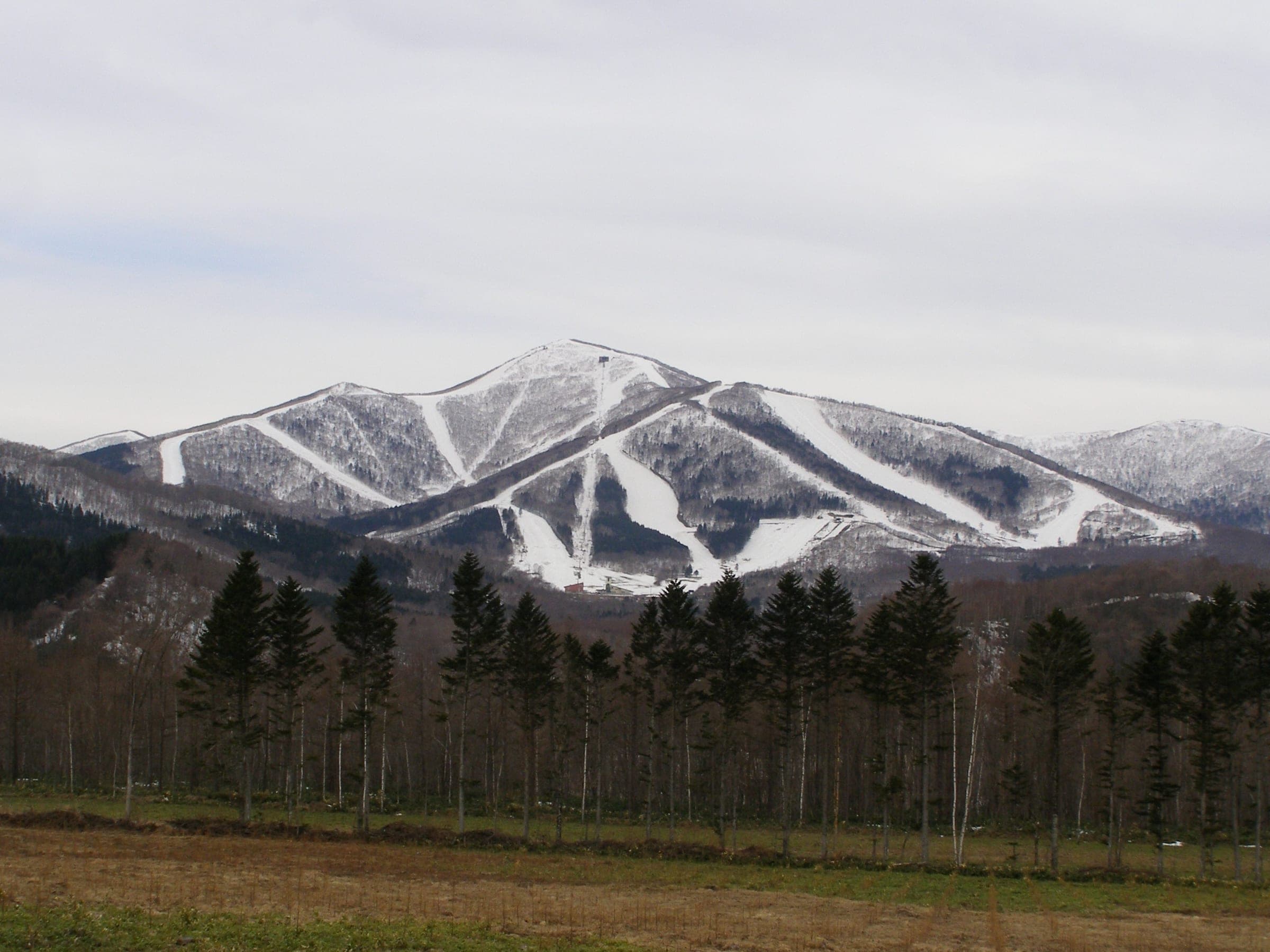
Three Hidaka peaks start straight from the plowed lots along Route 274 as it climbs to 1,022 m between Sapporo and Obihiro.
Photo Hiyashimizu · Wikimedia Commons · CC BY 3.0 and others, credited in the gallery
Read the terrain
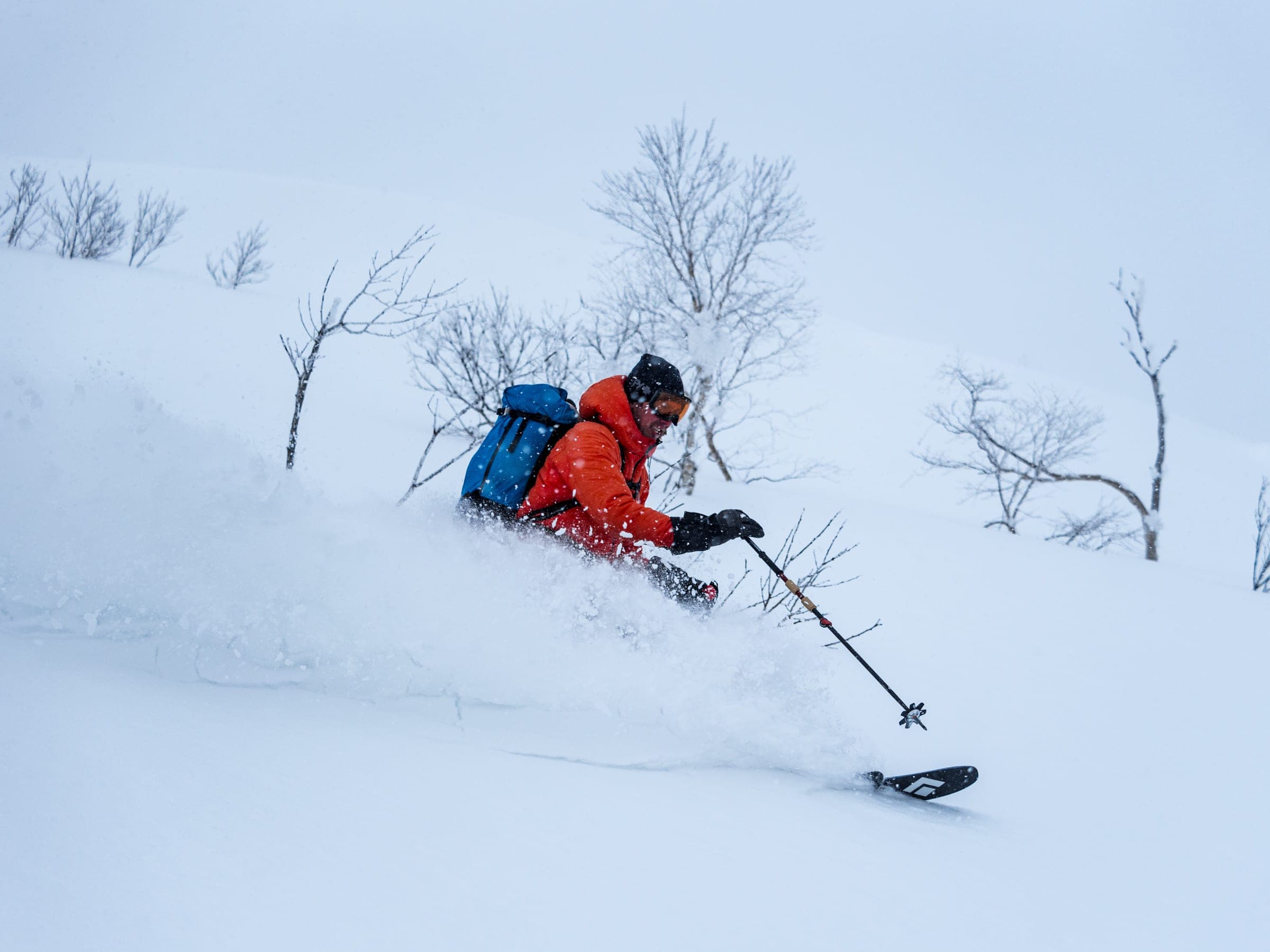
Pekerebetsu-dake carries steep east-facing faces and spurs. Nissho Peak gives open turns off its north ridge, and Soshubetsu-dake tops out in a gentle alpine slope above forest. Treeline sits around 1,200 m. Creeping pine pokes through near the tops when the wind has thinned the cover.
Watch for these hazards
- East-facing Hidaka slopes load with wind and build cornices
- Very steep, exposed final pitch to the Pekerebetsu-dake summit ridge
- Bluff at the base of the North Ridge spur on Pekerebetsu-dake
- Midwinter temperatures below −20°C before wind chill
- Wind strips upper slopes and leaves breakable crust and shaded ice
- Heavy truck traffic on Route 274 at every trailhead
- Tomamu snowcat track near the Soshubetsu-dake summit drops away in places; stay off it
Pick a route that suits the dayルート
Pekerebetsu-dake Centre Ridgeペケレベツ岳
820 m ascent · advanced
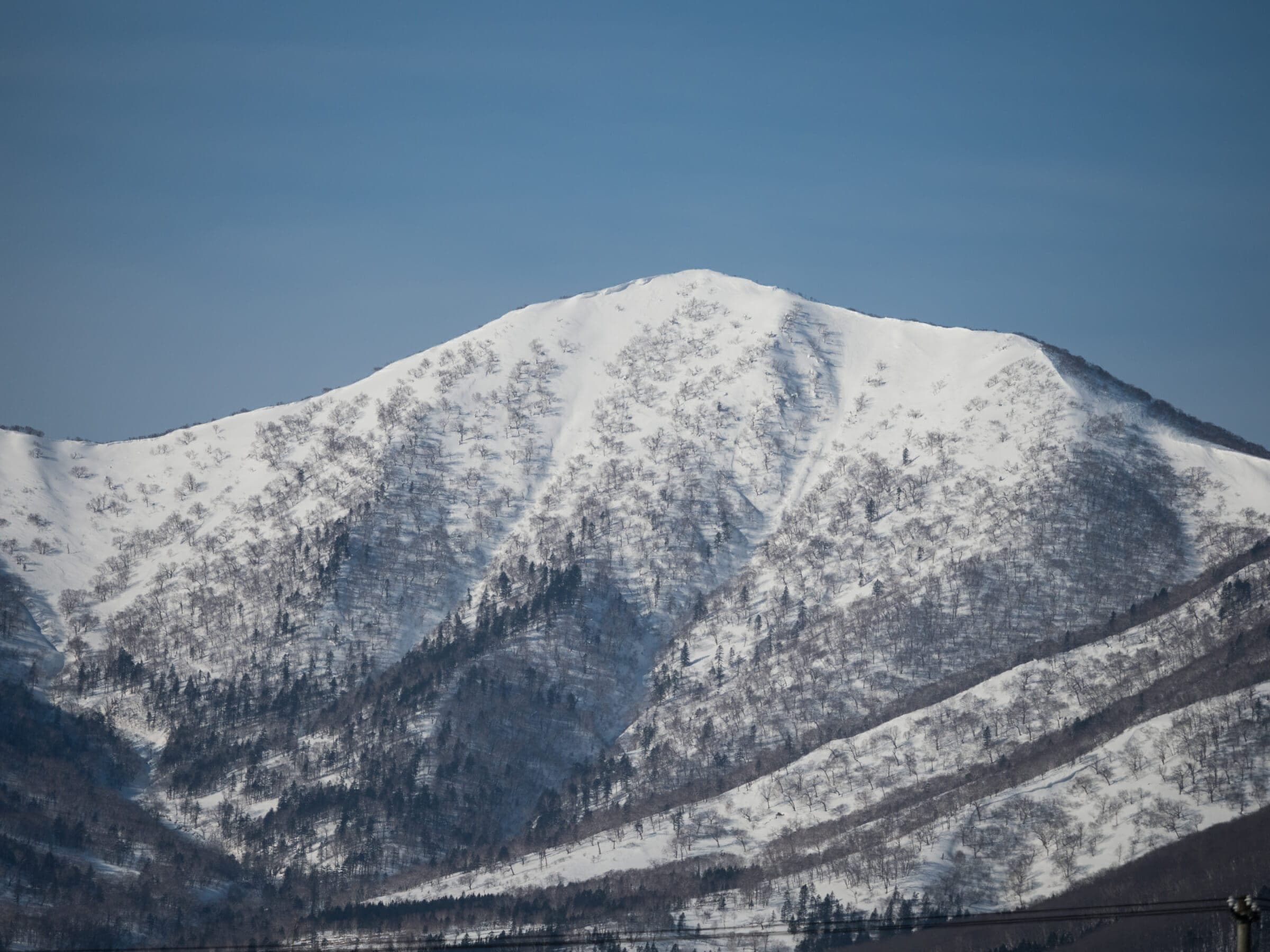
The direct line runs from the creek to the summit and finishes on a very steep approach. Allow about 3.5 hours up and an hour down for 7 km in total.
Pekerebetsu-dake North Ridgeペケレベツ岳
820 m ascent · advanced
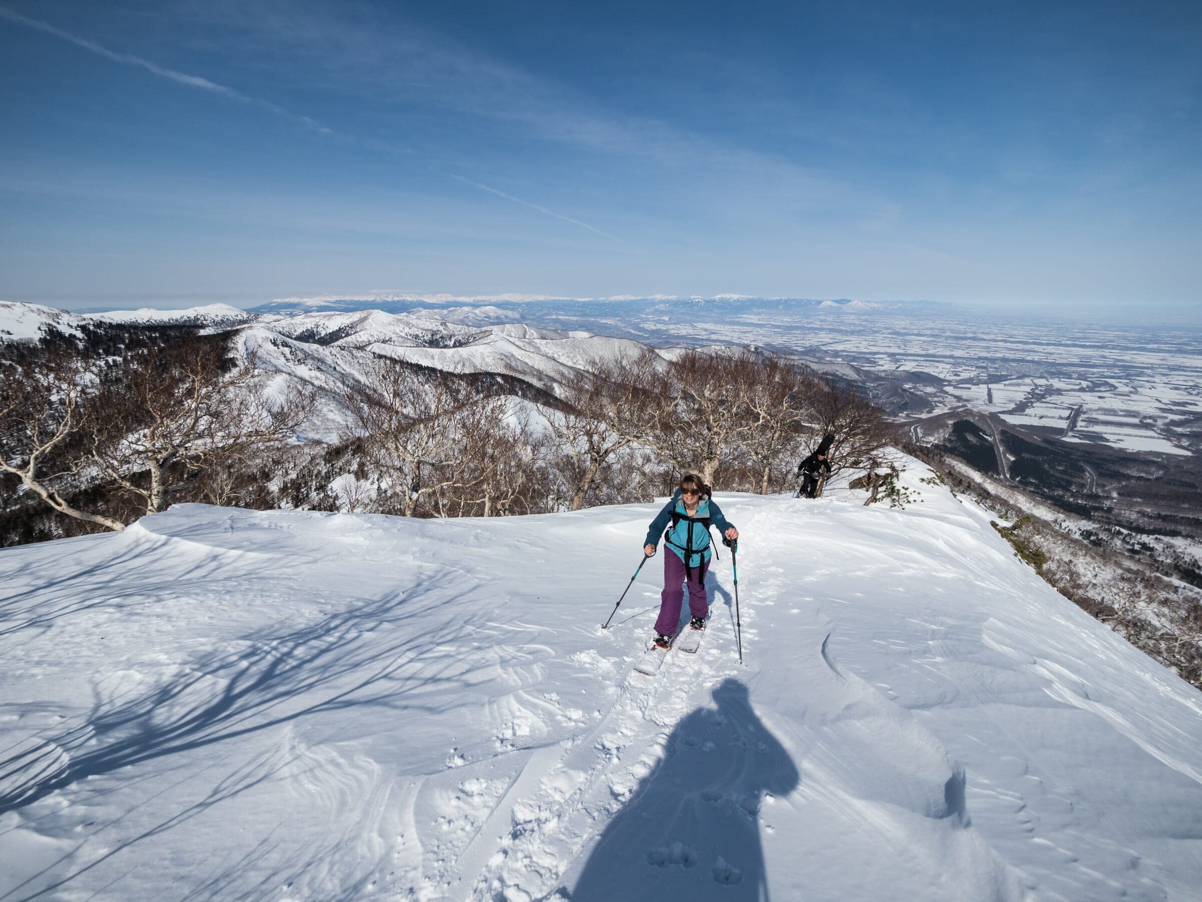
Climb a due-west gully for 300 m to get past the bluff at the foot of the spur, then a steep final 100 m to the summit ridge. The big east face is the descent.
Nissho Peak north ridge日勝ピーク
379 m ascent · intermediate
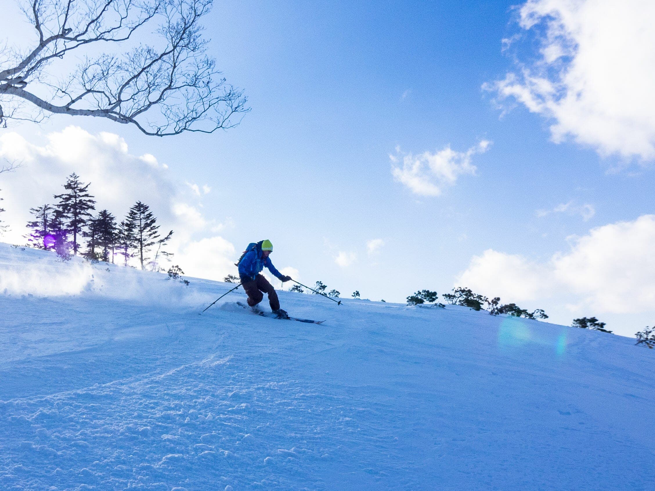
About 1–1.5 hours from the tunnel car park to the 1,445 m top and 30 minutes down open north-facing slopes. A good half-day when the weather is unsettled.
Soshubetsu-dake south slopes双珠別岳
570 m ascent · intermediate
From the Chisaka parking area, 3 km of forestry road to about 1,050 m, then north through forest to treeline around 1,200 m and a wide, mellow slope to the 1,383 m summit. About 3 hours return.
Follow the published lines in 3D立体地図
3 trip reports
What riders report from the hill山行記録
2021-03-13 · Hokkaido Wilds trip report
The party met breakable crust on the lower plateau, then climbed a due-west gully for about 300 m to gain the north spur. The guide warns of big cornices on the summit ridge, and the last 100 m of the climb was a grind.
Read the source2019-03-05 · Hokkaido Wilds trip report
In a low-snow year dwarf pine showed through at the summit and a strong wind blew up from the Tokachi plains. The north-facing run off the top still held powder well to skier's right toward the gully.
Read the source2023-03-11 · Hokkaido Wilds trip report
In spring the forestry road was frozen hard for the first 45 minutes, then the route climbed through old forest. It is only about 20 minutes from treeline to the summit, where Tomamu's cats arrive from the other side.
Read the source
Route 274 tops out at 1,022 m where it crosses the Hidaka Range at Nissho Pass. Few paved roads in Hokkaido climb higher. Trucks grind over it day and night between Sapporo and Obihiro, and the plowed parking areas along the way let you step from the car onto three good peaks. It runs cold up here and the season lasts into May. Wind regularly strips the exposed slopes between storms.
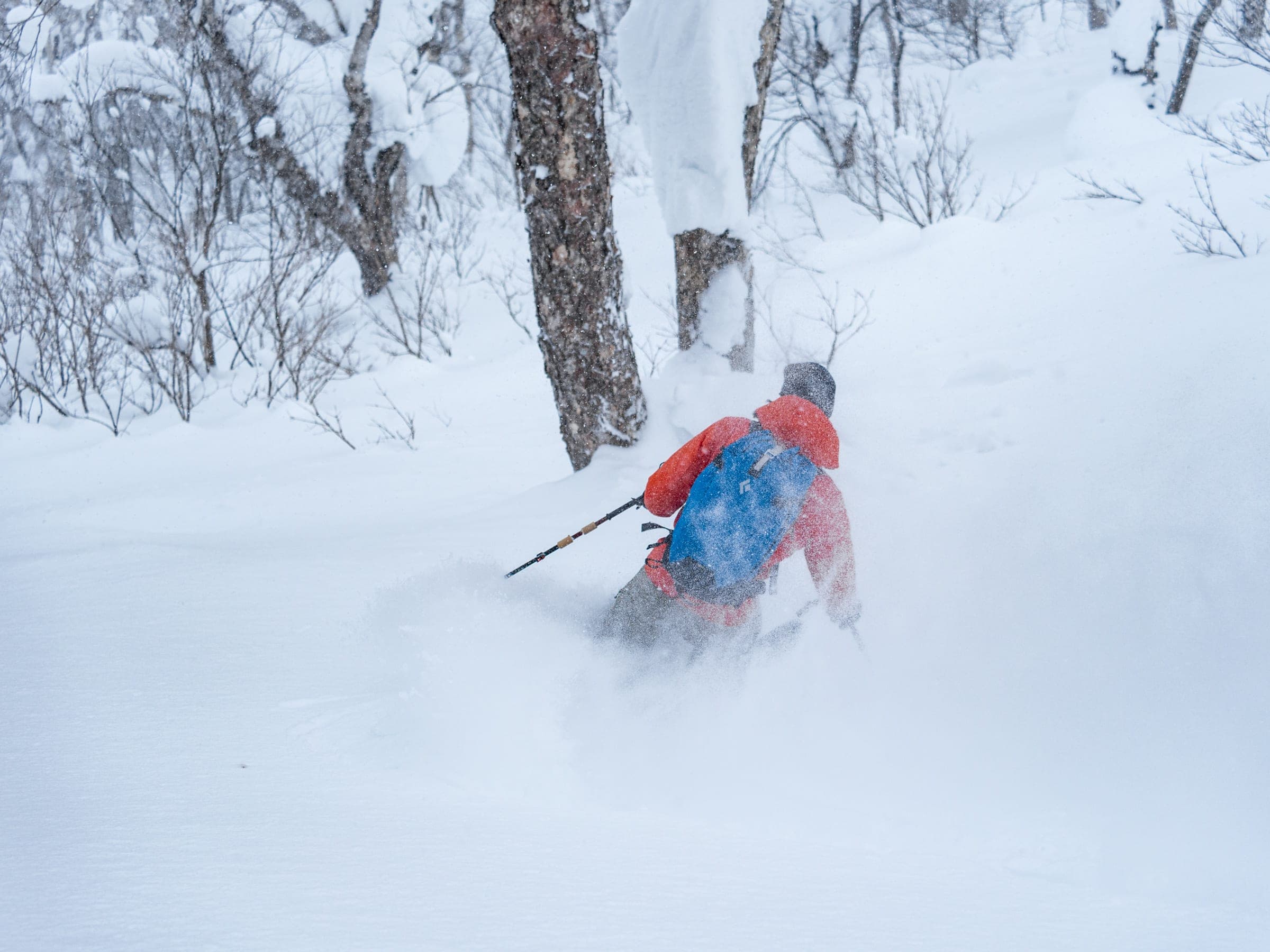
Pekerebetsu-dake is the main event. You leave a ten-car pull-out about 7 km below the summit of the pass on the Tokachi side, follow a forestry road and the creek for an hour, then pick a ridge. The Centre Ridge goes straight at the 1,532 m summit and finishes very steep. On the North Ridge you gain the spur by a 300 m gully that faces due west before a steep last 100 m to the top. The big east face gives direct lines and excellent powder on the right day, and from the summit you can see across the Tokachi plain to the Daisetsuzan peaks in the northeast.
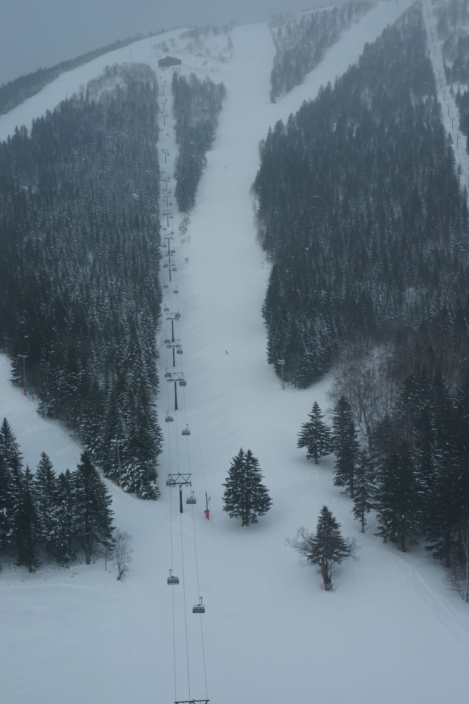
Nissho Peak is the quick option. From the lot at the west end of the Nissho Tunnel it takes about an hour and a half to climb its north ridge to 1,445 m, and the north side often holds powder when the summit is scoured. Soshubetsu-dake starts lower at the Chisaka parking area and climbs a forestry road and then forest to an open, gentle summit slope at 1,383 m. Tomamu's snowcats run up its far side, so keep off their track and away from guided groups.
No avalanche bulletin covers these peaks directly. Read the Japan Avalanche Network forecast for Daisetsu and Tokachi, which comes out three times a week, and file a climbing plan on Compass before you go.
Quick answers about Nissho Pass (Pekerebetsu-dake and Nissho Peak)よくある質問
How long is a tour on Nissho Pass (Pekerebetsu-dake and Nissho Peak)?
A typical tour on Nissho Pass (Pekerebetsu-dake and Nissho Peak) climbs 380 m (Nissho Peak) to 820 m (Pekerebetsu-dake) and takes 2–4 hours.
When can you ski tour Nissho Pass (Pekerebetsu-dake and Nissho Peak)?
The touring season on Nissho Pass (Pekerebetsu-dake and Nissho Peak) runs january to April; March is the pick.
Do you need a guide for Nissho Pass (Pekerebetsu-dake and Nissho Peak)?
Experienced, equipped groups tour Nissho Pass (Pekerebetsu-dake and Nissho Peak) on their own, though a local guide finds better snow.
Within 30 km
Hot springs nearby温泉
Within 40 km
Ski resorts nearby山
Within 80 km
Backcountry zones nearby山スキー
Within 35 km
Places to stay nearby宿
Within 35 km
Towns and neighbourhoods nearby町
In the journal