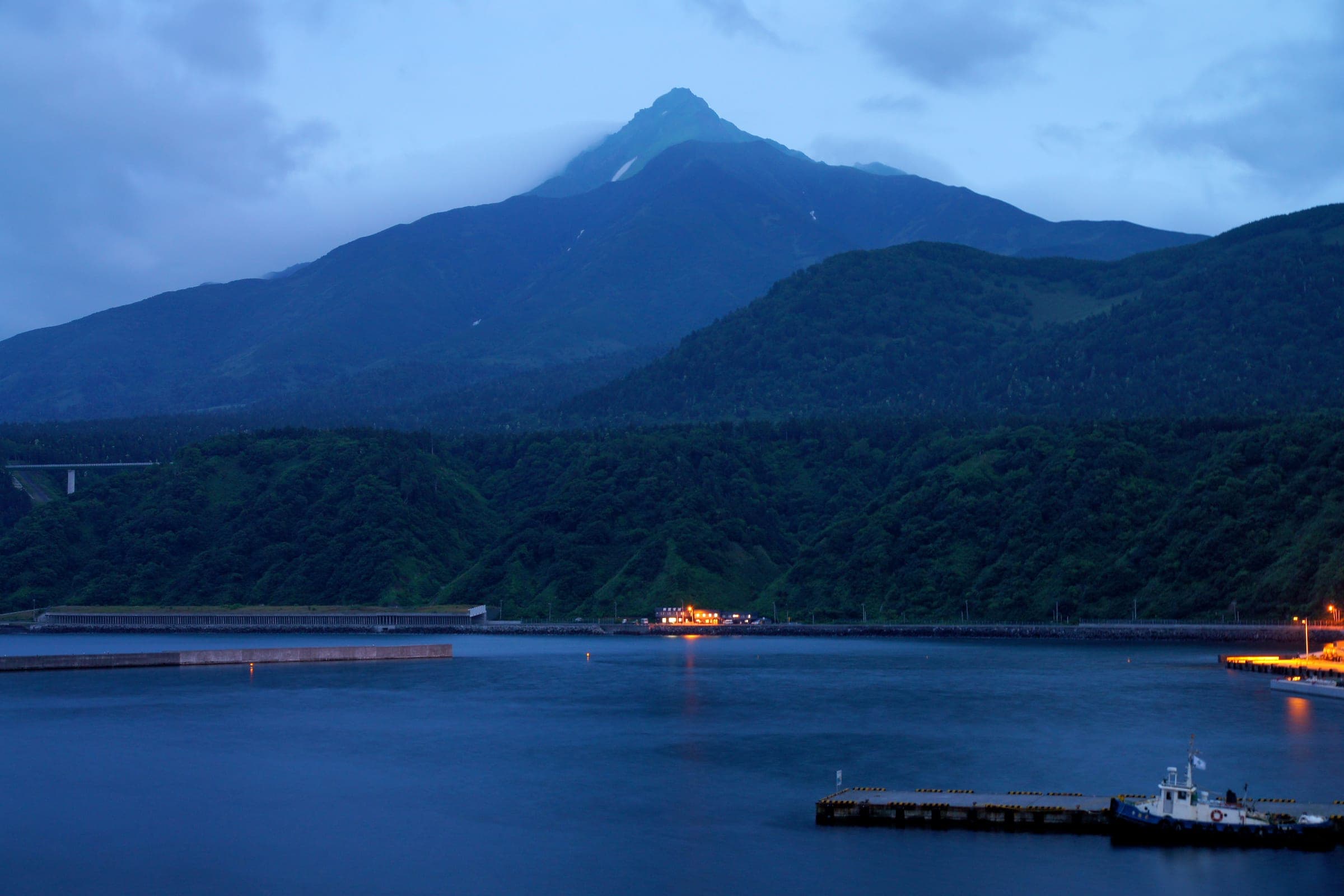
Rishiri-zan (Mt. Rishiri)
利尻山45°11′ N 141°15′ Eexpert1,721 mGuide recommended
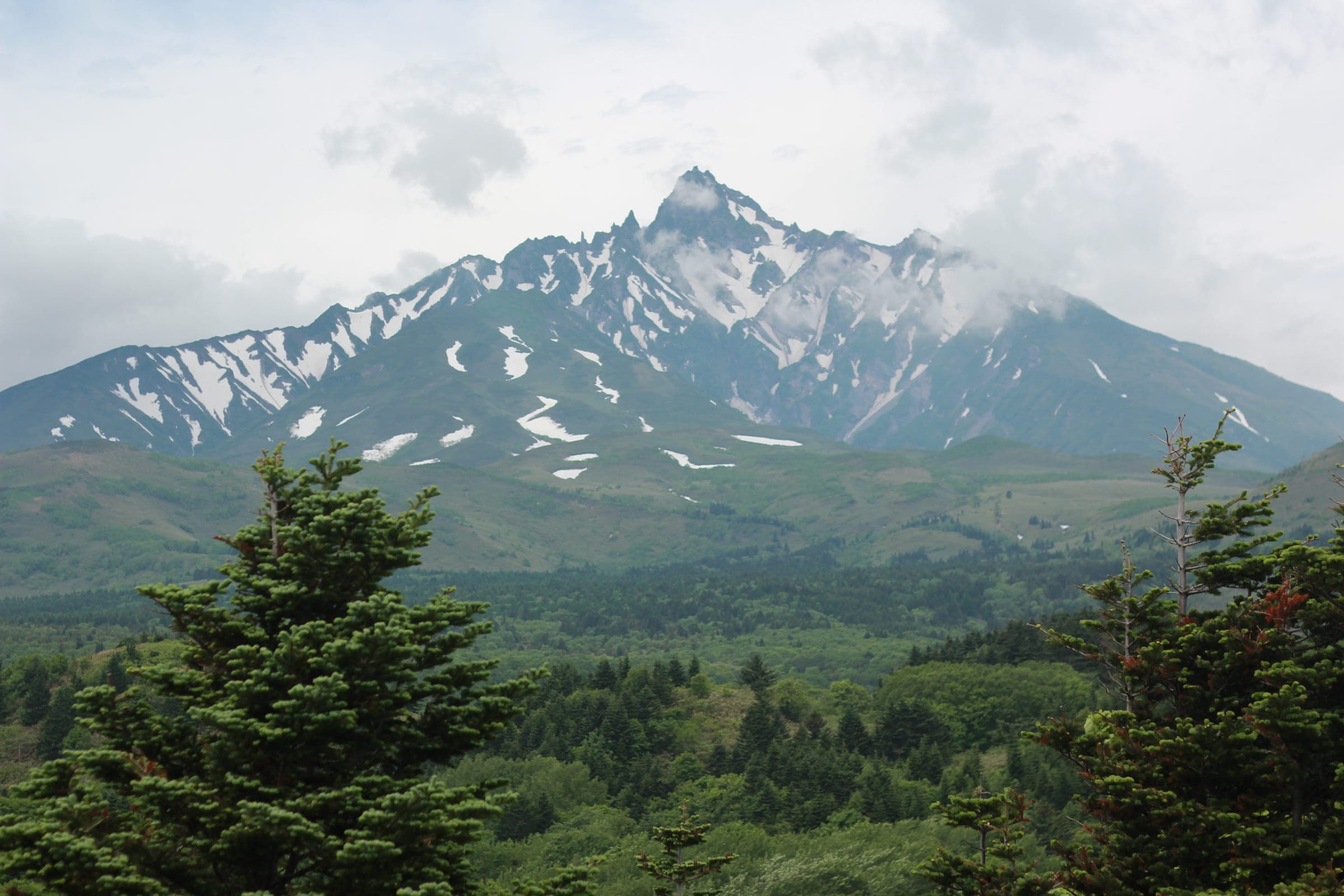
Rishiri is a lone volcanic cone in the Sea of Japan whose gullies run all the way to the coast, and the wind decides whether you get to ride them.
Photo Rob Thomson (hokkaidowilds.org) · Publisher's own site · CC BY-SA 4.0 and others, credited in the gallery
Read the terrain
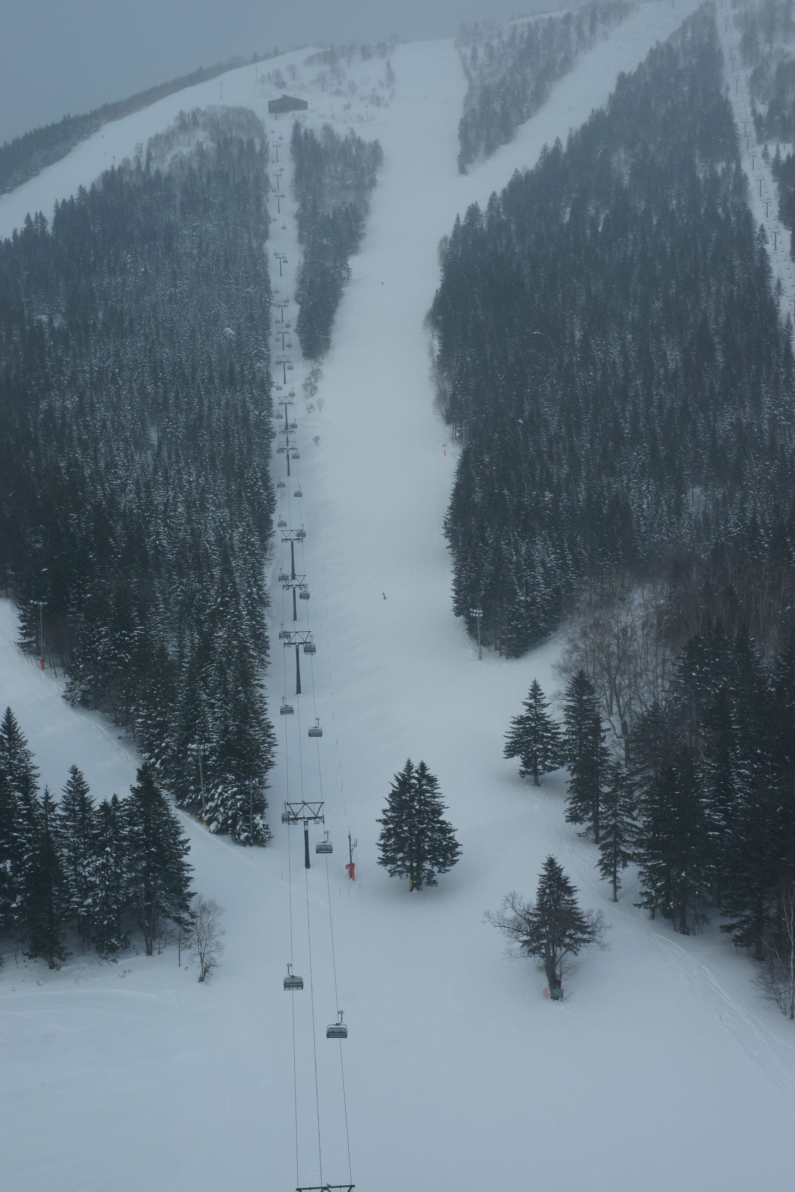
One volcanic cone with gullies and ridges radiating to the coast on every side. Volcanic gullies give more than 1,500 m of continuous descent. The west side runs long and steep, and the north holds broad powder bowls. Treeline is low, so most of the climbing is exposed, and an abandoned ski area offers tree riding on storm days.
Watch for these hazards
- Strong, near-constant wind off the Sea of Japan; calm clear days in January and February are rare
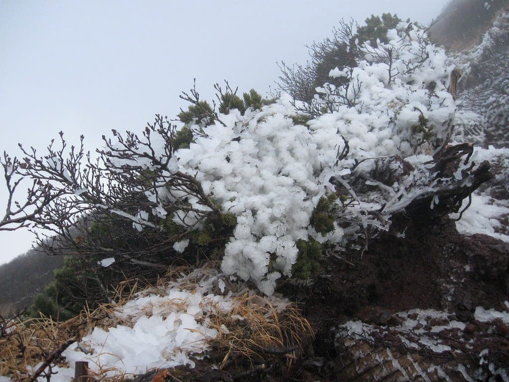
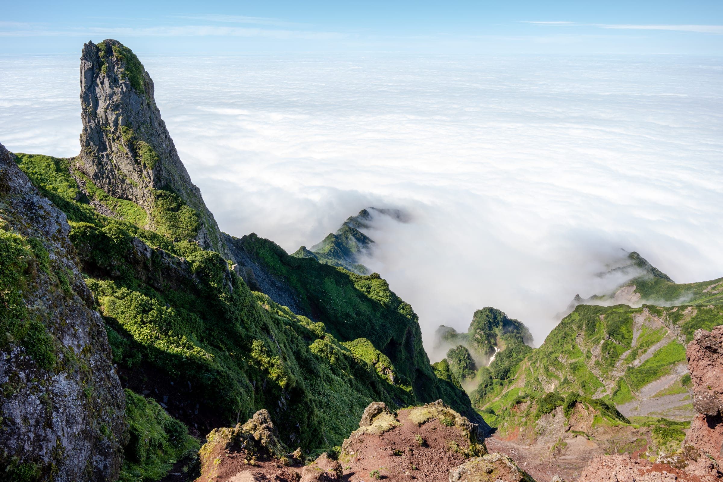
- Icy, exposed upper ridges with steep drops; the classic route has about 60 m of front-pointing near 1,600 m
- Crampons and ice axe needed for the summit
- Cornices and wind-loaded lee slopes on the ridges
- Two backcountry deaths in February and March 2024, including an avalanche on 3 March that caught at least four people
- No avalanche bulletin covers the island
- Whiteout navigation above the low treeline
- Winter ferries from Wakkanai cancel in heavy seas
Pick a route that suits the dayルート
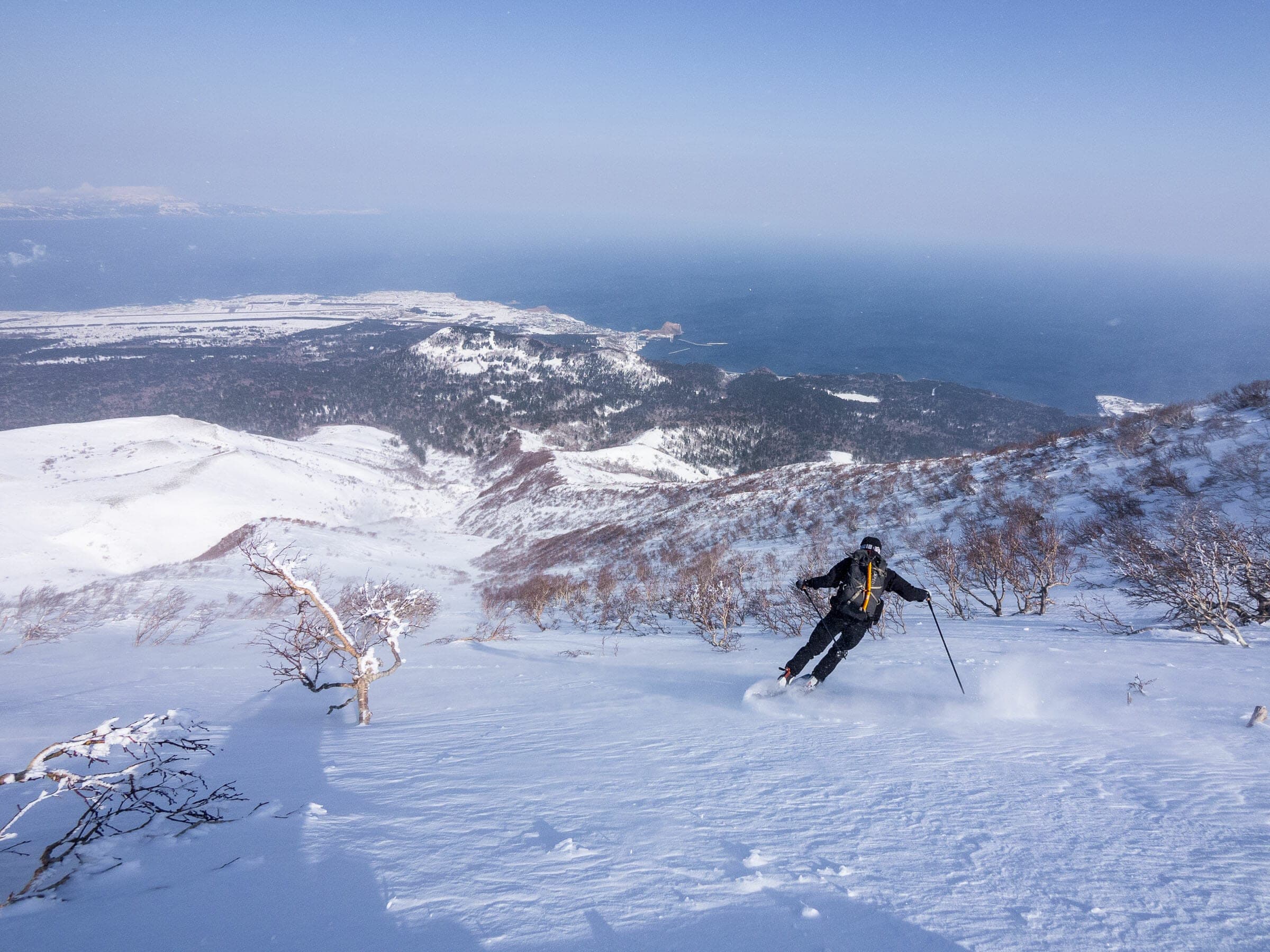
Oshidomari north ridge (classic summit route)鴛泊コース
1,594 m ascent · expert
The most popular winter line follows the summer trail ridge over Chokan-zan (1,218 m) to the emergency hut at 1,232 m, then 500 m of crampon climbing to the summit. Plan on about 5 hours up and 2 down; the main north gully skis well on the return.
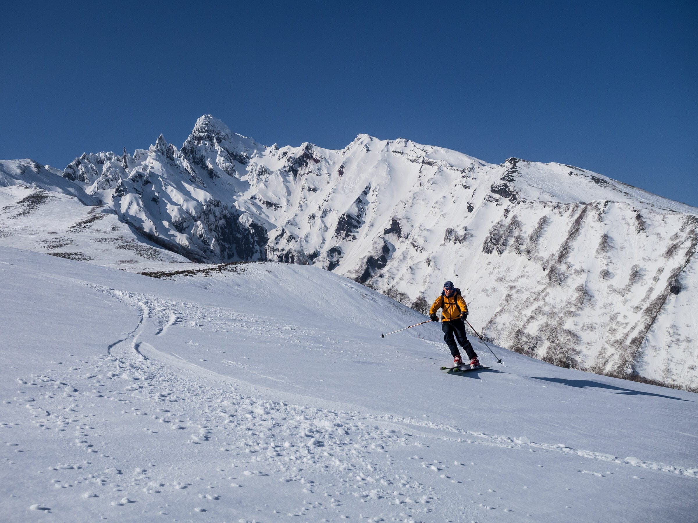
Yamunai-zawa south ridgeヤムナイ沢
1,067 m ascent · advanced
A southeast-facing out-and-back from the old Oniwaki ski field to a 1,225 m high point, mostly without crampons. Riders can drop into the gully from many points on the broad ridge, and the Oshidomari bus stops at Oniwaki about 1.5 km from the start.
Follow the published lines in 3D立体地図
4 trip reports
What riders report from the hill山行記録
2019-03-18 · Hokkaido Wilds trip report
A 4 am start reached the hut at just over 1,200 m, where the wind reduced the party to a crawl, and they turned back with about 500 m still to go. The gully on the way down held mostly soft snow about four days old.
Read the source2019-03-19 · Hokkaido Wilds trip report
The hostel owner who drove the party round the island explained that the windward side sits in cloud while the lee stays clear. The broad plateau on this route would be close to impossible to navigate in cloud.
Read the source2024-03 · PowderGuide
In a report published in March 2024, the road toward the north-side access was still unplowed, so the group walked about 10 km on the flat from the Rishirifuji onsen. Wind stopped them around 1,000 m without crampons or axes, and the writer calls Rishiri much steeper than most Hokkaido peaks.
Read the source2017-01 · Explore-Share
A guided trip at the start of 2017 began each morning with a snowmobile tow along the forest path that saved about two hours of flat walking. Many guesthouses close in winter, so book one that stays open.
Read the source
Go with a guideガイド
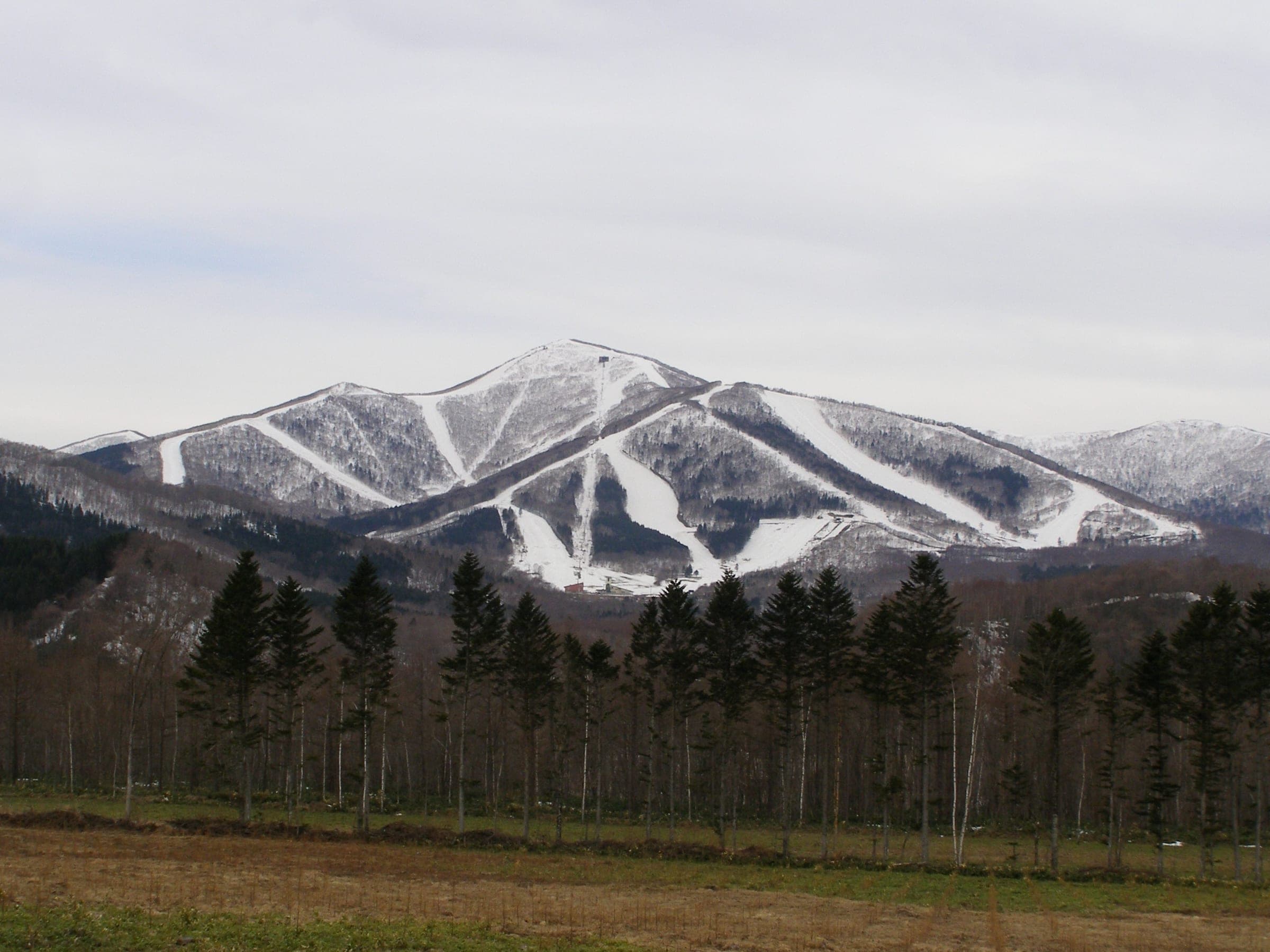
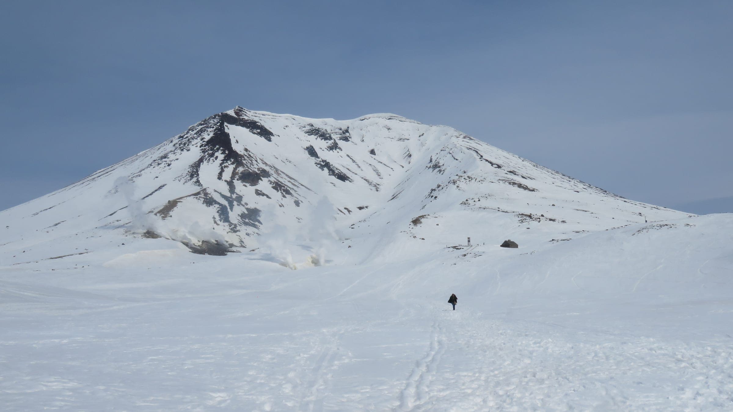

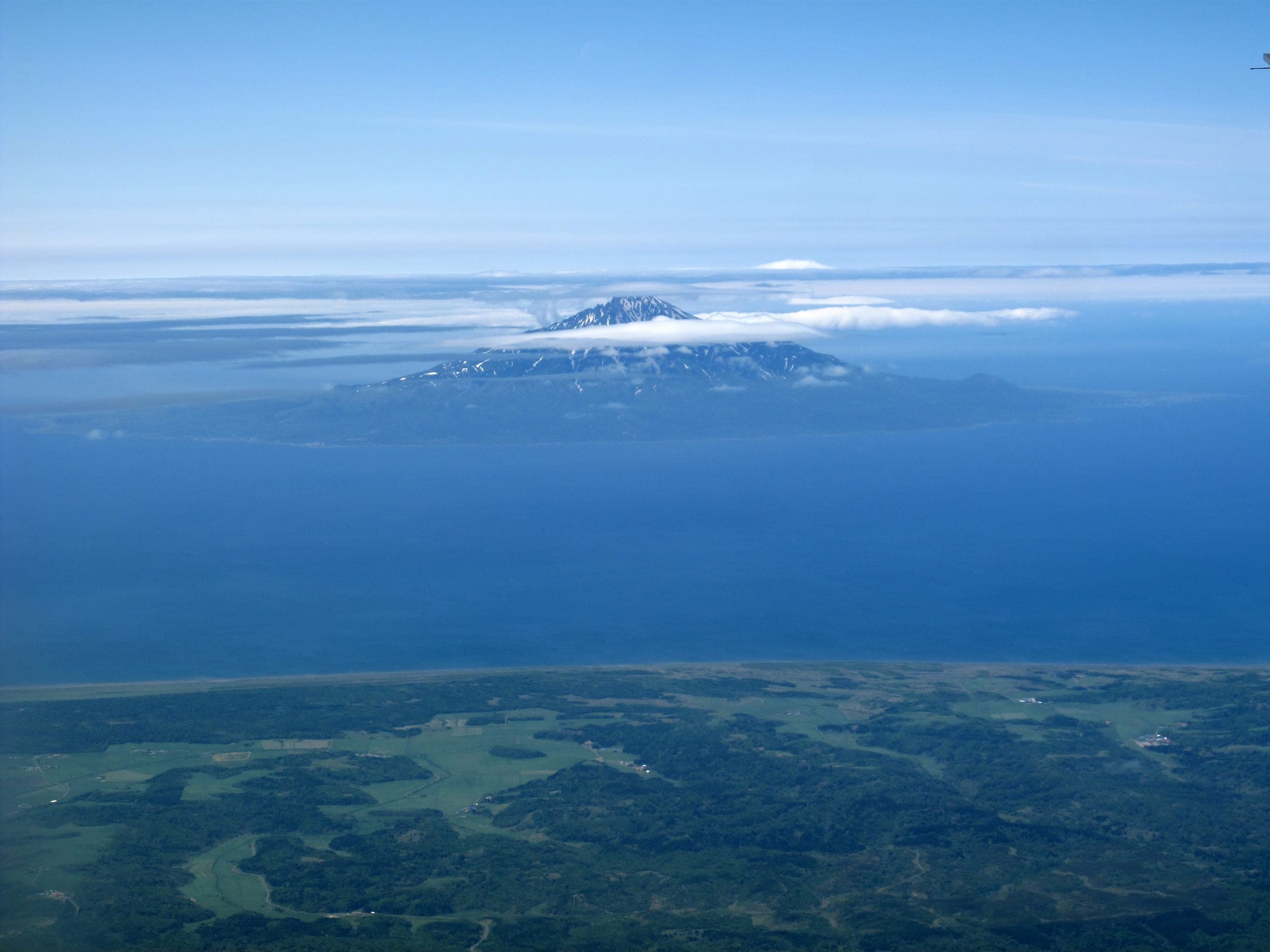
Rishiri rises 1,721 m straight out of the Sea of Japan about 20 km off Hokkaido's northwest coast. From the ferry it looks like somebody set Mt. Fuji down in the ocean. Ridges and gullies fall off the cone on every side, and plenty of them finish near the coast road, so a full run can end with the fishing boats in view.
The wind runs everything here. Winter monsoon air comes off Siberia with nothing in its way, and Hokkaido Wilds calls a clear windless day in January or February extremely rare. The snow in deep winter is light and cold. Most summit attempts happen in March and April once the days stretch out and storms space themselves apart. You still need crampons and an ice axe for the top, and the classic north ridge descent has a short section of front-pointing near 1,600 m.
Two people died in backcountry accidents on Rishiri in February and March 2024. On 3 March an avalanche caught at least four members of a guided group. There is no avalanche bulletin for the island, and treeline sits low enough that most of every climb is in the open. Toshiya Watanabe grew up here and started guiding in 2004. He and his wife Maki run Pension Rera Mosir, and his snowmobiles cut out the long flat approaches to the bottom of the climbs.
The ferry from Wakkanai to Oshidomari takes about 1 hr 40 min and sailings get cancelled when the sea is up, so leave a spare day at each end. A short flight from Sapporo's Okadama airport is the other way in. Week-long guided trips from mainland outfits build one or two weather days into the schedule.
Quick answers about Rishiri-zan (Mt. Rishiri)よくある質問
How long is a tour on Rishiri-zan (Mt. Rishiri)?
A typical tour on Rishiri-zan (Mt. Rishiri) climbs 1,000–1,600 m; the full summit route from Oshidomari climbs 1,594 m and takes 5–8 hours.
When can you ski tour Rishiri-zan (Mt. Rishiri)?
The touring season on Rishiri-zan (Mt. Rishiri) runs january to April; best March–April.
Do you need a guide for Rishiri-zan (Mt. Rishiri)?
We recommend a certified guide for Rishiri-zan (Mt. Rishiri) unless your group can read the snowpack and run its own rescue.
Where do you check avalanche danger for Rishiri-zan (Mt. Rishiri)?
Read the day's bulletin from Japan Avalanche Network (https://nadare.jp/) before every tour on Rishiri-zan (Mt. Rishiri).
Within 30 km
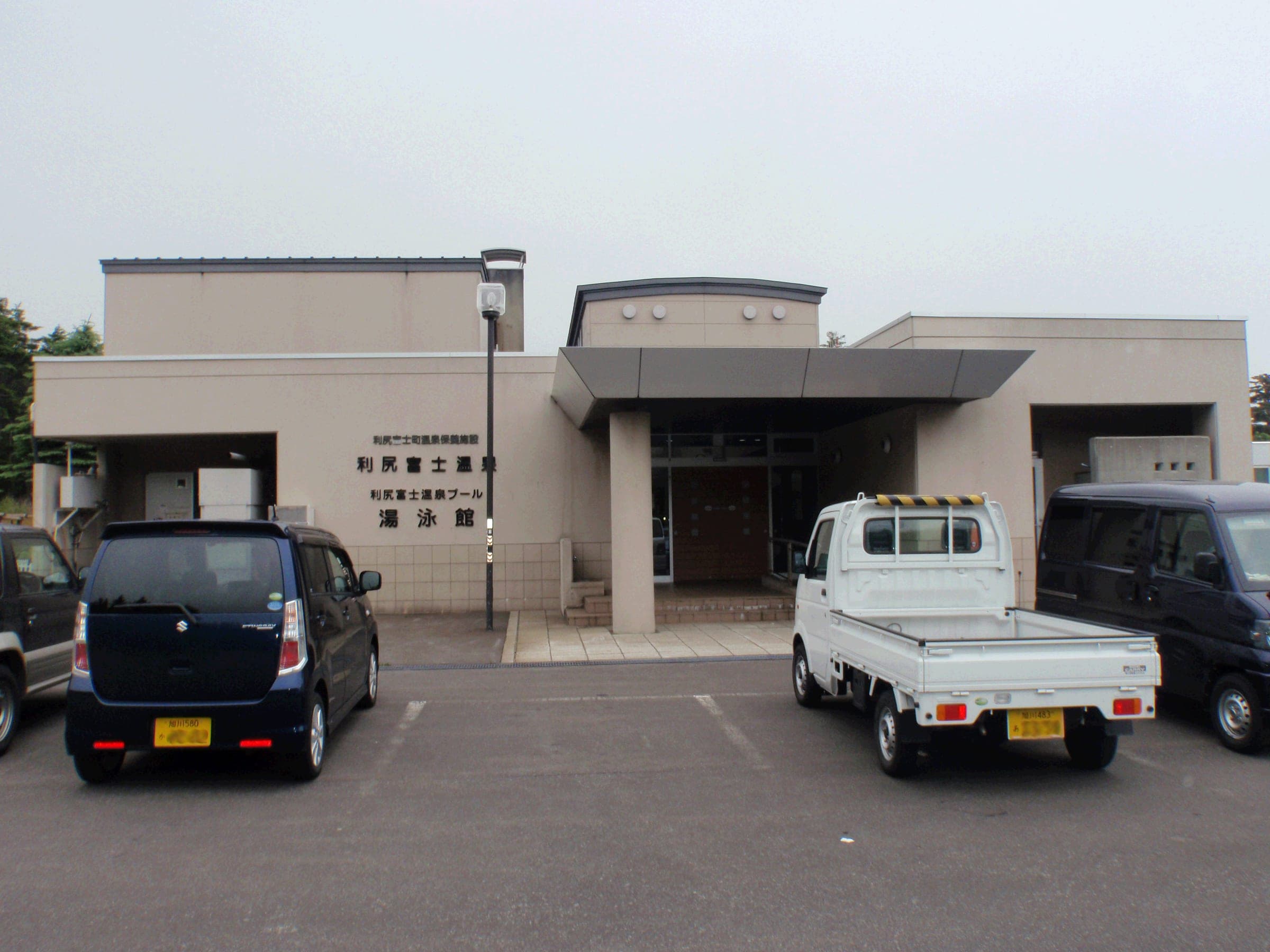
Hot springs nearby温泉
Within 35 km