Feature · 5 min read
How do you ride the Asahidake Ropeway backcountry safely?
The Asahidake Ropeway lifts you to 1,600 m on Hokkaido's highest volcano in about ten minutes, and from the top station nobody patrols anything. We read the town's warnings, the Hokkaido Wilds routes and the police numbers to show where the good snow is and where people get lost.
By Adam BognarPublished

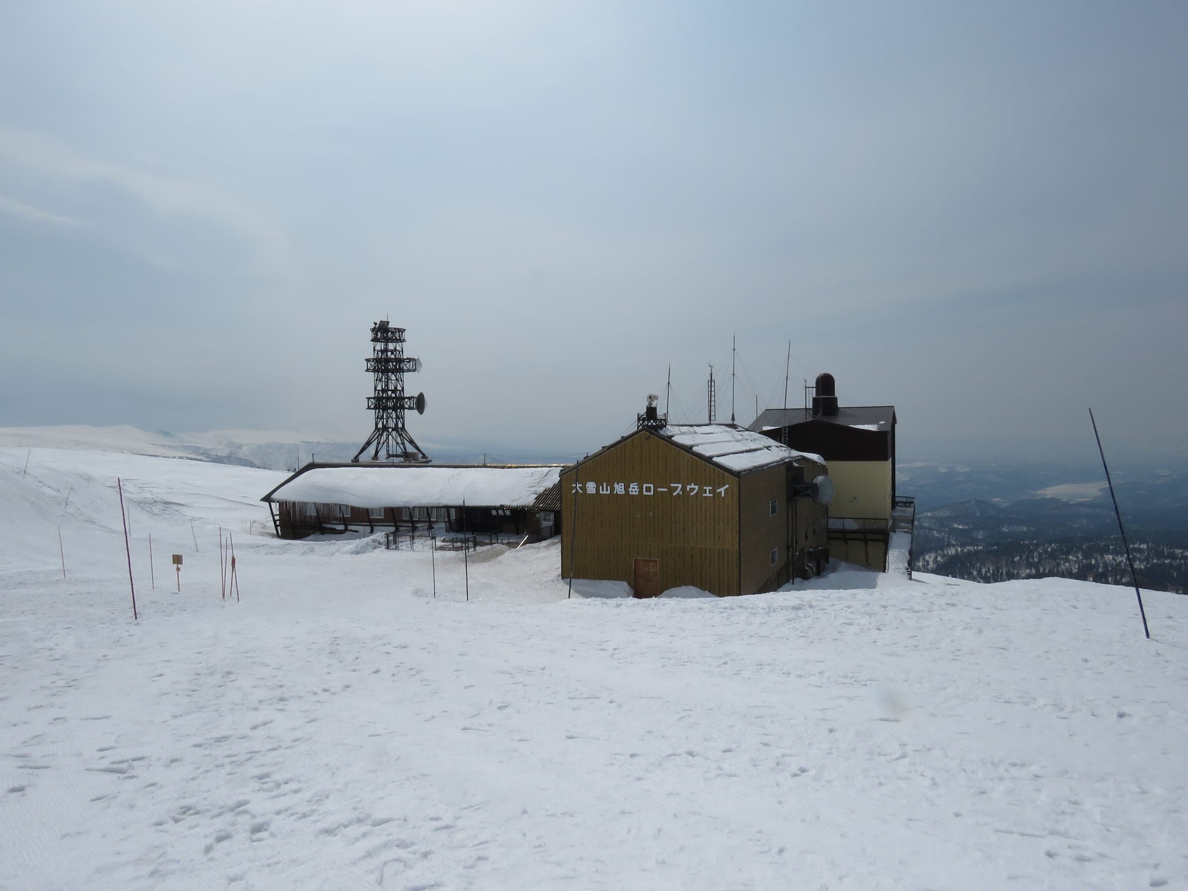
Ride the glades below Sugatami Station in January and February with a guide on your first day, and save the open plateau above the station for clear days from March. The ropeway sets you down at 1,600 m with fresh legs, and Asahidake has no patrol and no avalanche control anywhere, so the hazard grows quickly with every metre you climb past the top station.
After a cold storm the snow here is as dry as Hokkaido gets, and a ten-minute ride puts you on top of it. That draws a crowd. The mountain guide site STEEP lists Asahidake as the area with the most mountain accidents in Hokkaido. Police figures gathered by Hokkaido Wilds counted 10 sidecountry victims around Asahidake between 1 January and 28 February 2025, eight of them foreign. A Hokkaido District Transport Bureau count from 16 January to 20 February 2025 put about 206 people a day out of the top station.
What does the ropeway cost and how does it run?
An adult return cost ¥2,800 and a one-way ticket ¥1,700 in the regular season from 1 November to 31 May, as the operator published it in October 2026. The ride takes about ten minutes, and winter departures leave every 20 minutes. Parking at the base in Asahidake Onsen is free from November to May, and the Ideyu-go bus runs up from Asahikawa Station. The ropeway stops when the wind gets too strong, which on this plateau happens often enough that you should hold a second plan.
Queues can be long on a good day. On 21 January 2025 a SkiTalk poster waited more than an hour and a half for a car, then found skin tracks running straight up toward the crater with parties skiing over each other.
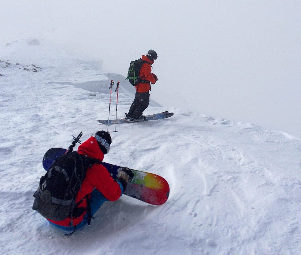
Where do you ride below the top station?
Most days the skiing happens in the birch and fir between the cat-track courses. Tennyo sits just below Sugatami on skier's right of the ropeway line, and Ura-ten lies behind it and farther right. Ohiroma, whose name means great hall, opens on skier's left between Course C and the Bannosawa gullies. Every one of those drains back to the cat tracks that lead to the base.
Bannosawa's three marked lines drop off Course A. Higashikawa town's winter map flags them as an avalanche danger zone, along with Ura-ban beyond them, which takes you farther from the cat tracks than anything else here. Save both for stable days. Forum riders warn that snowcats use the cat track during the day, so look uphill before you step onto it.
What is above Sugatami?
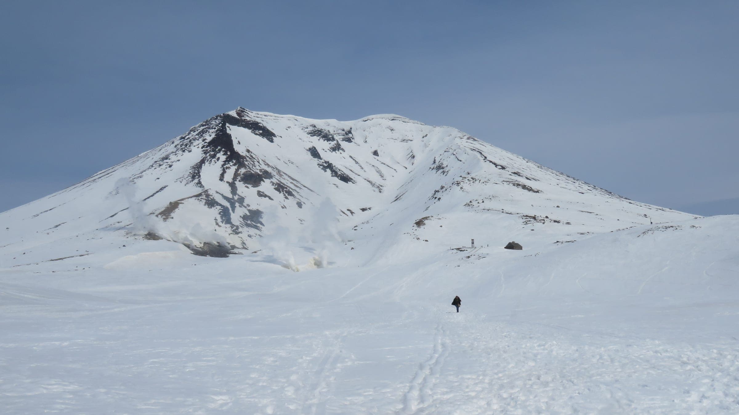
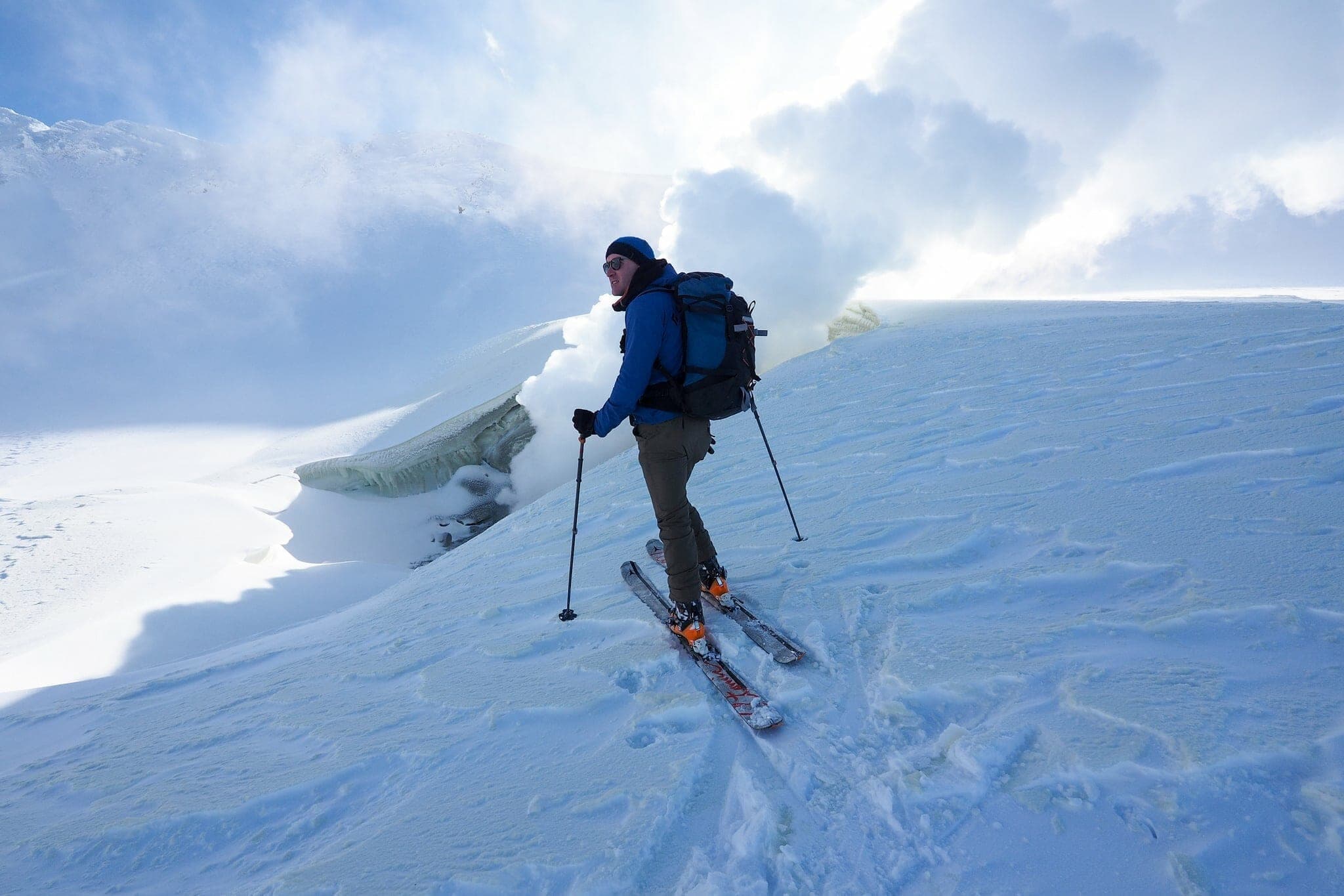
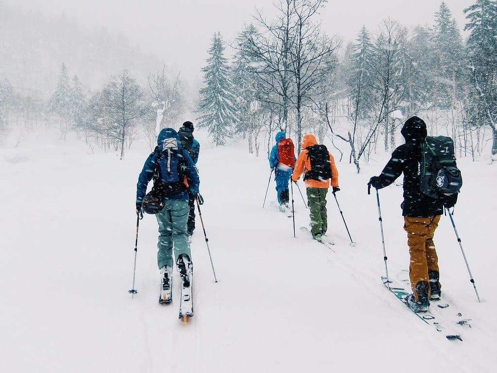
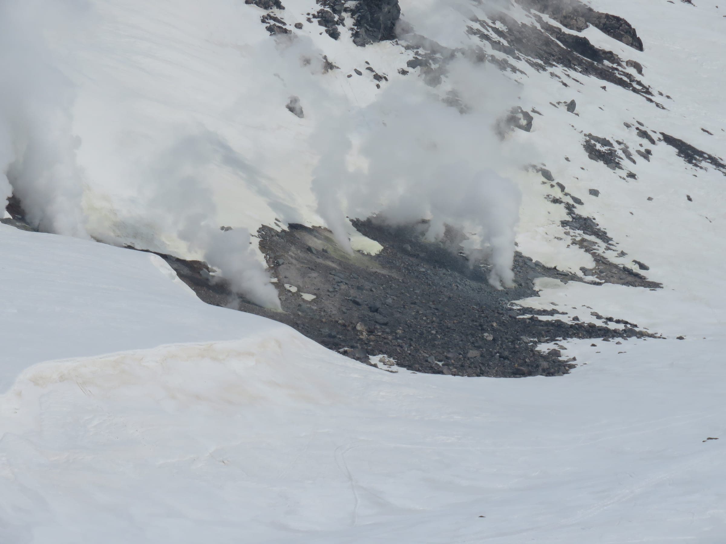
Above the station the trees end and the plateau carries no markers. The shortest tour heads east to the Jigoku-dani steam vents. Hokkaido Wilds publishes it as 6.6 km with 165 m of climbing to a 1,780 m high point in about 1.5 hours, and our figures from its GPS track come out at 6.6 km and 170 m. Its author warns that people can get hopelessly lost a few hundred metres from the top station. On day one of the trip a near-whiteout cut visibility from about 100 m to 20 m and turned the party back, and the next morning was dead calm. The stone hut at 1,660 m is an emergency shelter only, closed in winter, with an upper window that freezes shut.
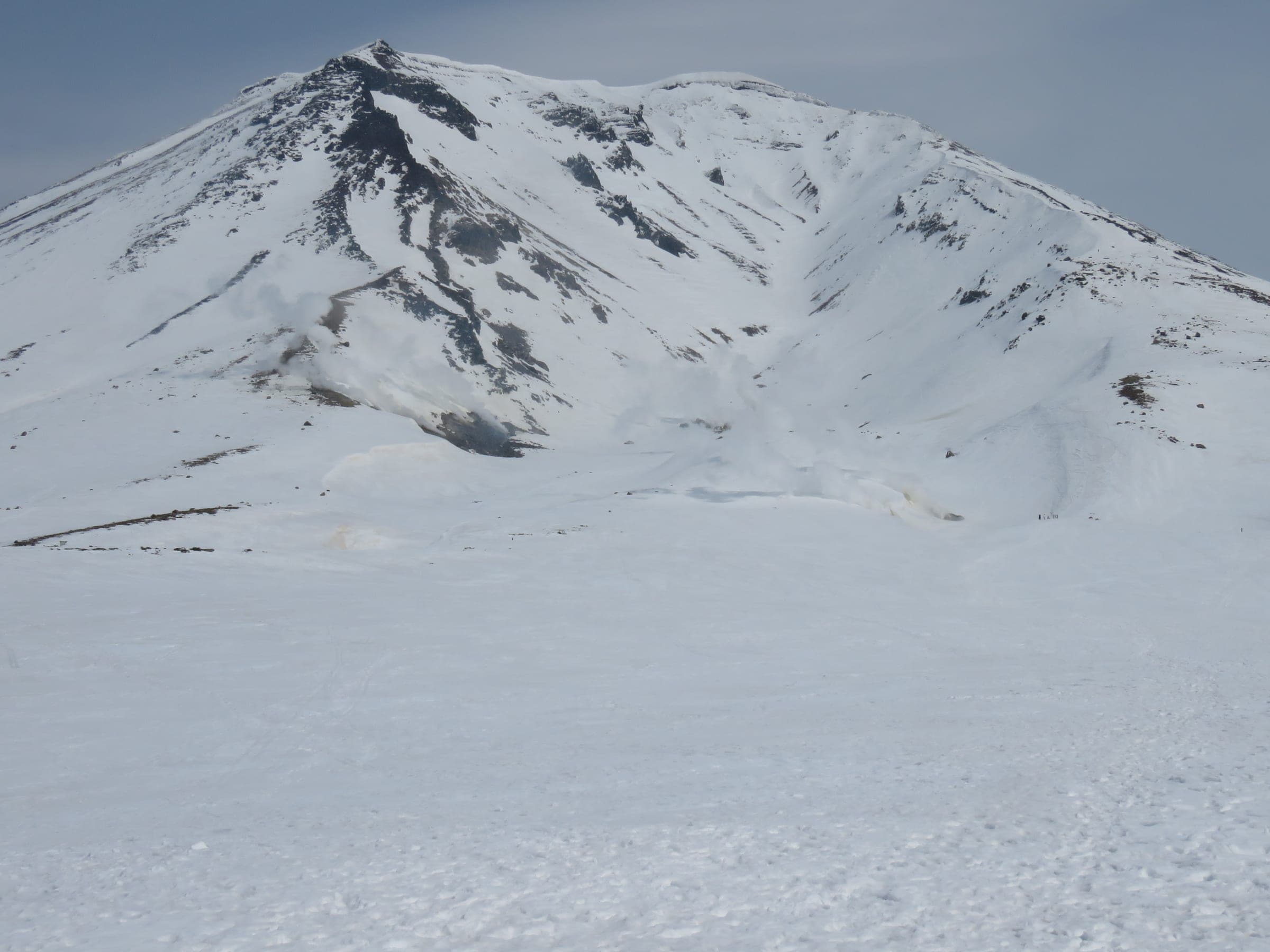
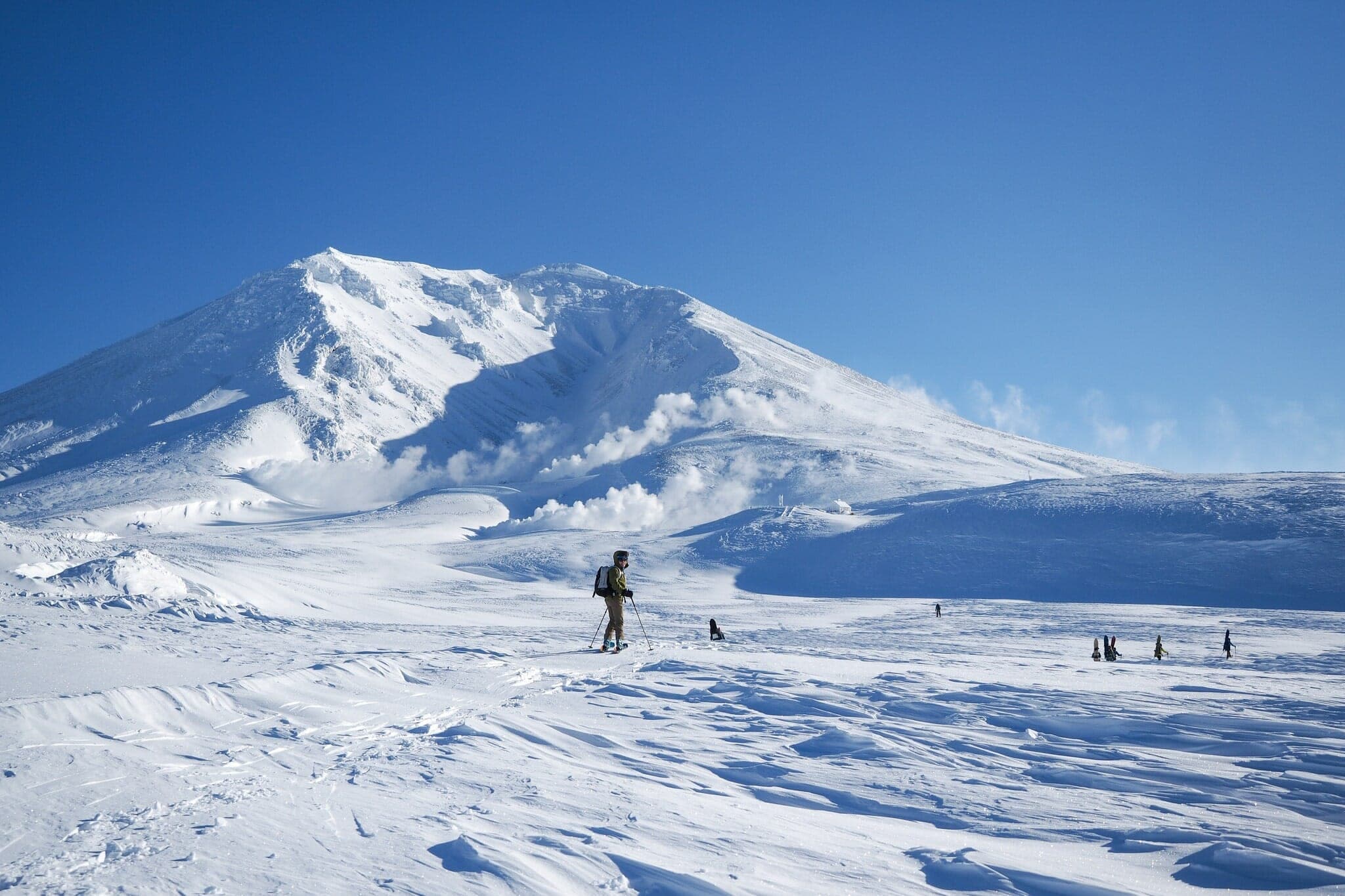
The summit is another 690 m above Sugatami on hard, wind-packed slopes, and you will want crampons. Come down the west side the way you went up. The town's survival map warns that parties who drop south from near Kinko-iwa go missing, and anyone who wanders north toward Hisago Marsh finds there is no way back. The floor of Ohachidaira crater beyond the summit pools hydrogen sulphide, and the national park treats it as a no-entry zone after deaths in 1958 and 1961.
When does the plateau open up?
Spring opens it. From March the days run long enough for the summit, and Hokkaido Wilds describes a Nakadake Onsen loop over Asahidake and the Ohachidaira rim to a hot spring at 1,840 m. It publishes 14.7 km, 762 m of climbing and 9.5 hours, best from March to May. From the GPS track we computed 770 m of climbing and a high point of 2,272 m. The whole loop runs above treeline on featureless snowfields, and the author calls it impossible to navigate in low cloud without a GPS and a map and compass. On the late-April 2019 trip a stream of hikers in crampons and sneakers climbed the summit ridge while he skinned long traverses across the south face to ease the angle.
What should you sort out before the first ride?
Backcountry riding off the ropeway needs avalanche training, a beacon, a shovel and a probe for every rider, and anyone new to Daisetsuzan should go with a certified guide. Rising Sun Guides keeps a team in Higashikawa for the Daisetsuzan volcanoes. Whiteroom Tours reaches Asahidake from its Furano base and lists ¥175,000 a day for a private group in the 2026/27 peak weeks.
Read the Japan Avalanche Network bulletin for Daisetsu and Tokachi before you go. Its 2025/26 season ended with the bulletin of 15 March 2026, so spring plateau days have no forecast behind them. File a climbing plan with police through Compass. Crampons belong in the pack all season, and windchill on the plateau drops below −20°C.
Keep the Tokachi range off this trip. The Japan Meteorological Agency raised Tokachidake to volcanic alert level 3 on 12 September 2026, and the Tokachidake trailheads from Kamifurano are closed. On a day when Asahidake's ropeway is shut, Kurodake on the north rim runs a sign-in gate off its chair.
Where do you stay and soak?
Stay in the hamlet at the foot of the ropeway. Asahidake Onsen sits at about 1,100 m, and its inns pour an unusual clear sulphate and chloride spring. Hotel Bear Monte sells day bathing for ¥1,140. Higashikawa down the valley has the cafés and bakeries, and the Asahidake resort page covers the courses and lift details.
How we researched this
We compiled this from the ropeway operator's site, Higashikawa's winter safety map, Hokkaido Wilds route guides and its search and rescue analysis, the Japan Avalanche Network and rider trip reports, checked in October 2026. Track figures are computed by Ride Hokkaido from the Hokkaido Wilds GPS files. Nobody from Ride Hokkaido toured Asahidake for this piece.

Sources
- Asahidake Ropeway (Mt. Resort Asahidake)
- Higashikawa winter safety map (PDF)
- STEEP: Asahidake
- Hokkaido Wilds: Asahidake steam-vent ski touring
- Hokkaido Wilds: Asahidake to Nakadake Onsen loop
- Hokkaido Wilds: Winter search and rescue trends 2015–2025
- Hokkaido Wilds: The poisonous hot spring at Ohachidaira
- SkiTalk: 2025 Hokkaido trip report
- Reddit r/Backcountry thread on the steam-vent route
- Japan Avalanche Network: Daisetsu and Tokachi
- Japan Meteorological Agency volcano map
- Compass climbing plans
Quick answers
How high does the Asahidake Ropeway go?
The Asahidake Ropeway climbs to Sugatami Station at 1,600 m in about 10 minutes. An adult return ticket cost ¥2,800 and a one-way ticket ¥1,700 in the regular season from 1 November to 31 May, as published in October 2026.
When is the best time for backcountry at Asahidake?
January and February are the best months for the Asahidake glades below Sugatami Station, when cold storms keep the snow dry. The summit and the plateau above the station suit March to May, when the days run longer and storms space out.
Is Asahidake backcountry dangerous?
Asahidake backcountry has no patrol and no avalanche control, and whiteouts can cut visibility to about 20 m within minutes. Hokkaido police data recorded 10 sidecountry victims around Asahidake between 1 January and 28 February 2025.
Can you ski to the top of Asahidake from the ropeway?
The 2,291 m Asahidake summit sits about 690 m above Sugatami Station up hard, wind-packed slopes that call for crampons. Descend west the way you came, because parties who come down the south side near Kinko-iwa go missing.
We write from operators’ and agencies’ own pages, open map data and published research, and we date every fact we check. How we research.