Asahidake
旭岳43°40′ N 142°51′ Eadvanced2,291 mGuide recommended
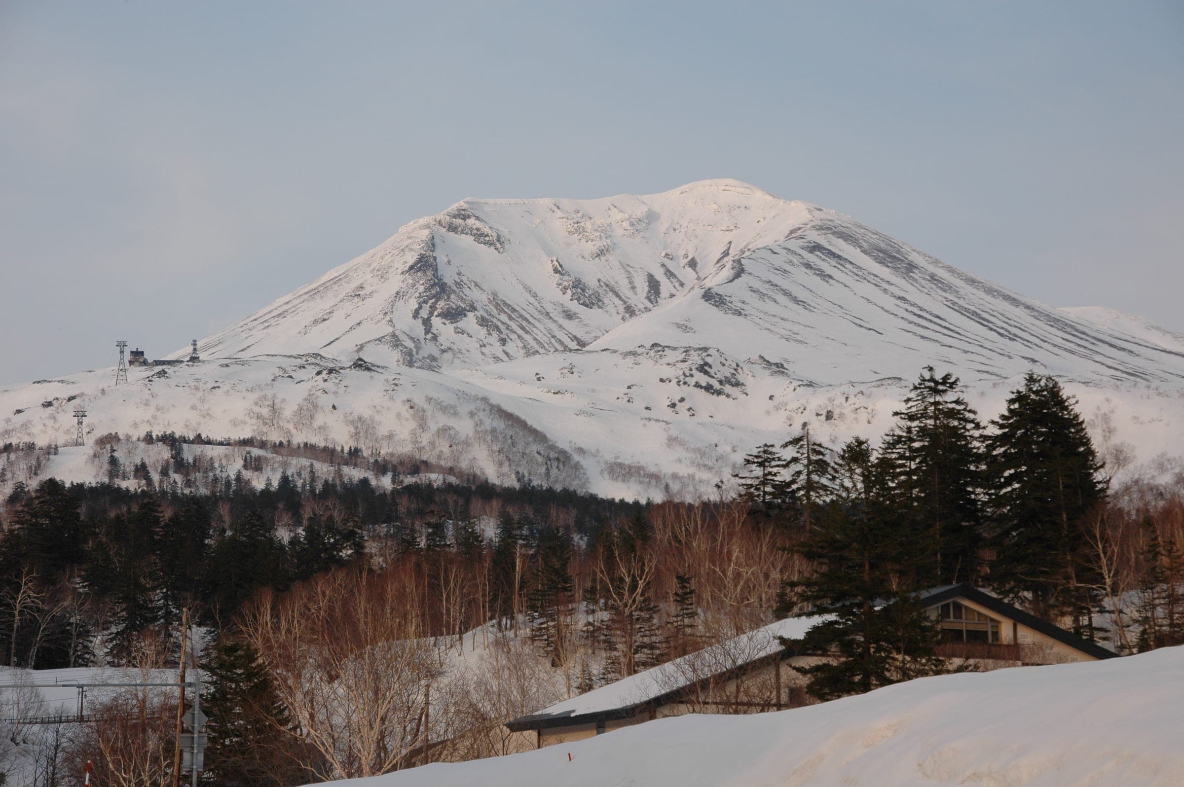
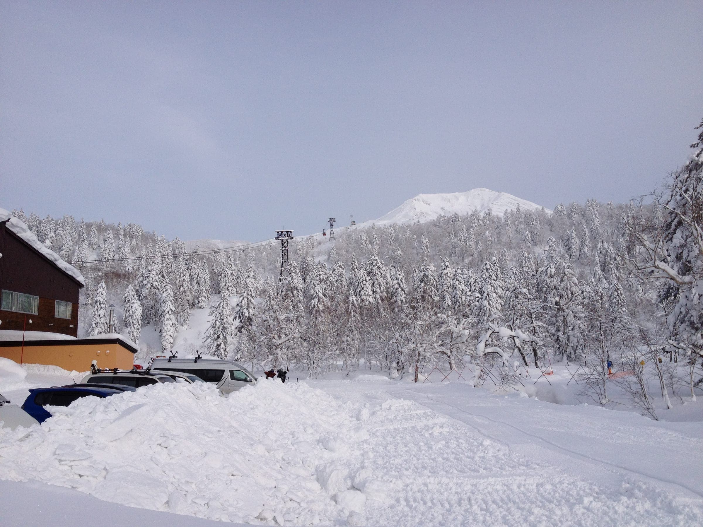
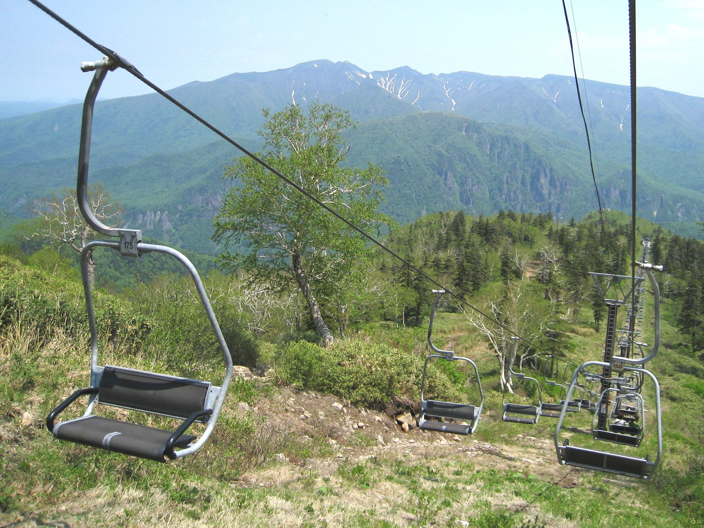
A ropeway to 1,600 m on Hokkaido's highest volcano opens gladed bowls on both sides of the line, and the plateau above leads to the 2,291 m summit in spring.
Photo Perfect Zero · Flickr · CC BY 2.0 and others, credited in the gallery
Read the terrain
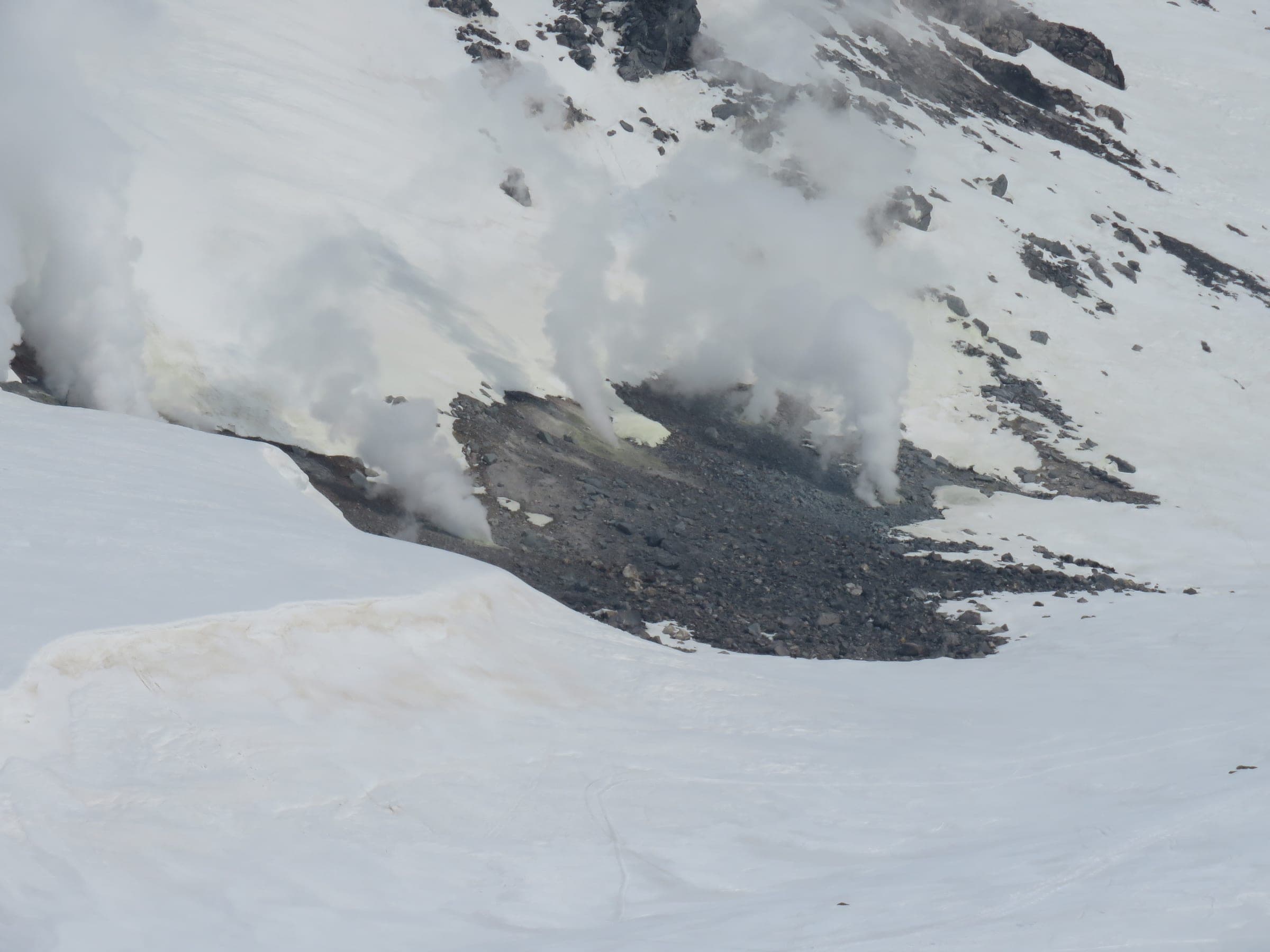
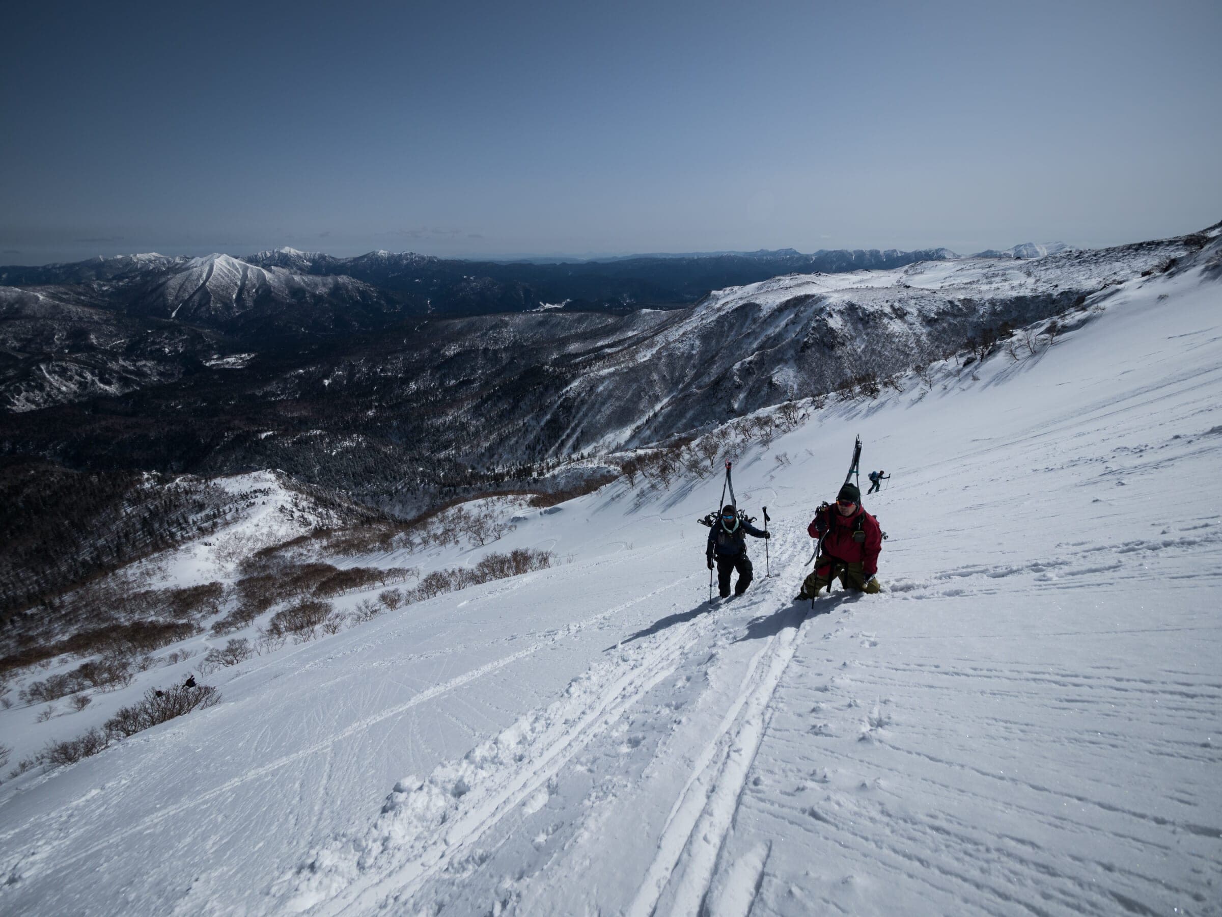
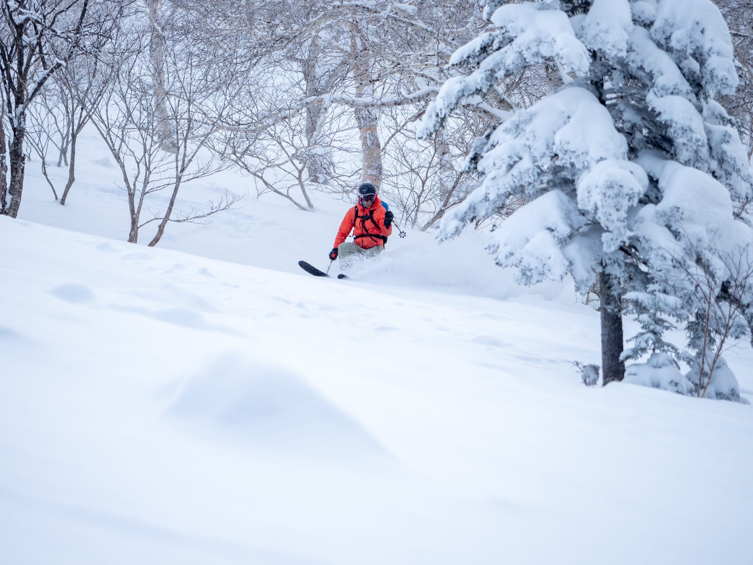
Birch and fir glades fall away on both sides of the ropeway between the cat-track courses, with Tennyo and Ura-ten to skier's right and Ohiroma and Bannosawa to skier's left. Above Sugatami the trees end and hard, wind-packed volcanic slopes climb past the Jigoku-dani fumaroles to the summit.
Watch for these hazards
- Whiteouts arrive within minutes and tracks fill in fast
- Do not head north off the plateau toward Hisago Marsh; the town's map warns you cannot get back
- Parties go missing descending south from the summit near Kinko-iwa; descend to the west
- Bannosawa and Ura-ban are marked as avalanche danger zones
- Hard, icy surfaces above treeline; carry crampons
- Windchill below -20°C
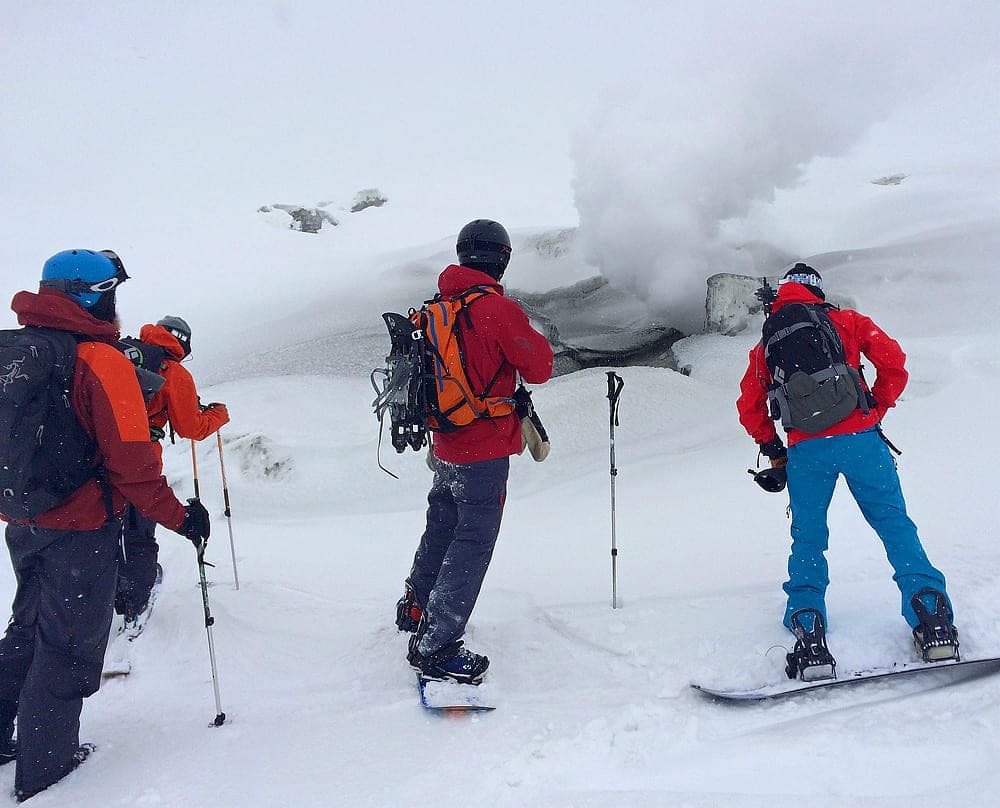
- Fumaroles and volcanic gas at Jigoku-dani
- No patrol and no avalanche control anywhere; rescue is billed to the rescued
Pick a route that suits the dayルート
Tennyo天女
advanced
These glades sit just below Sugatami on skier's right of the ropeway. Ride them off the top station and rejoin the cat-track courses to the base.
Ura-tenウラ天
advanced
These slopes lie behind Tennyo and farther right. The town map's warning against heading north sits just beyond them.
Ohiroma大広間
advanced
This broad slope sits on skier's left between Course C and Bannosawa. The name means great hall.
Bannosawa (B1–B3)盤の沢
expert
Three marked gully lines drop off Course A, and the town map flags them as an avalanche danger zone. Ride them only on stable days.
Ura-banウラ盤
expert
The slopes beyond Bannosawa carry the same avalanche danger flag. They take you farther from the cat tracks than anything else in the area.
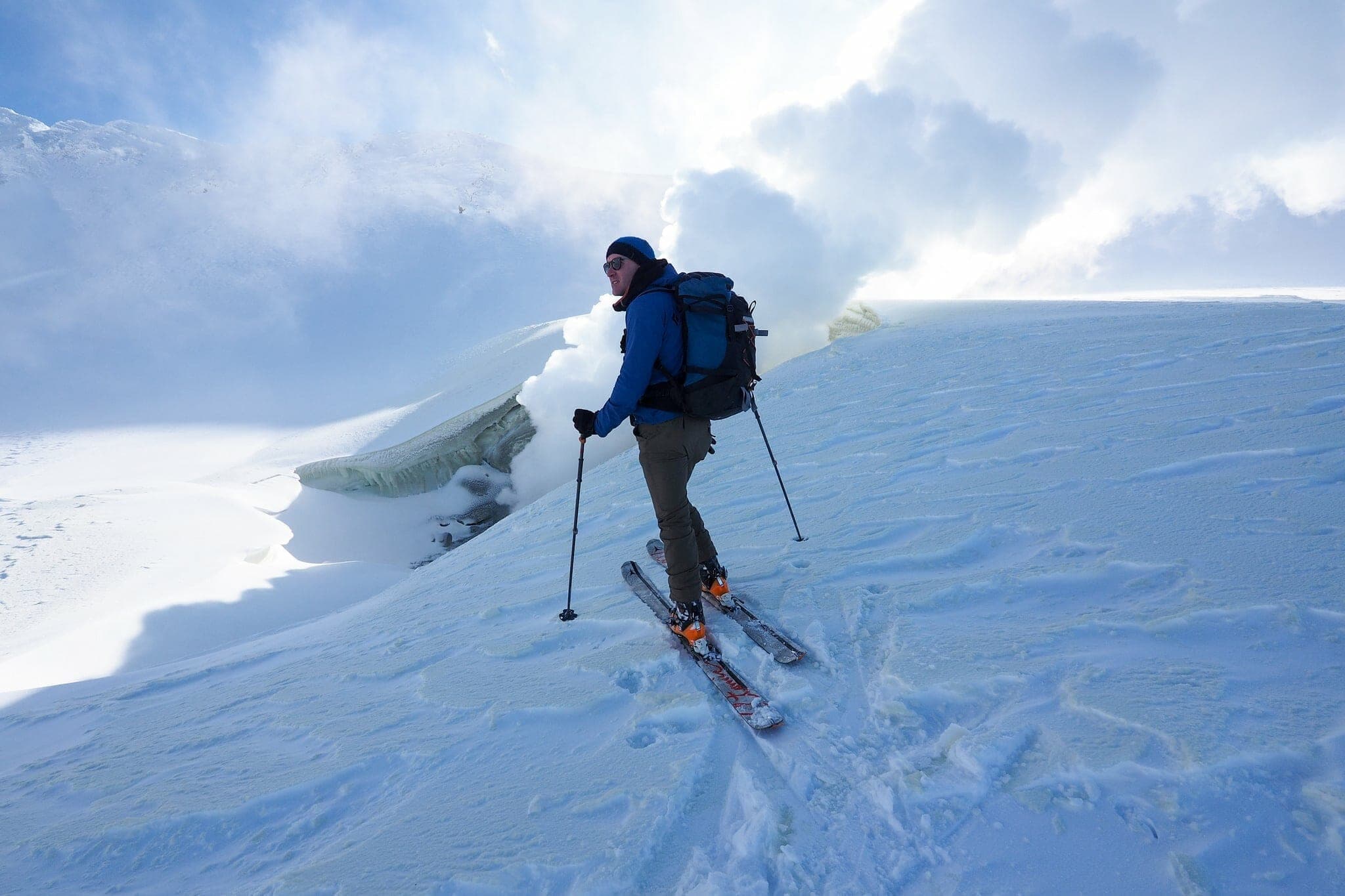
Steam-vent loop地獄谷
165 m ascent · intermediate
The loop heads east from Sugatami past the shut stone hut to the Jigoku-dani fumaroles at about 1,780 m and returns down through the ski area. About 6.6 km and 90 minutes, with no trail markers.
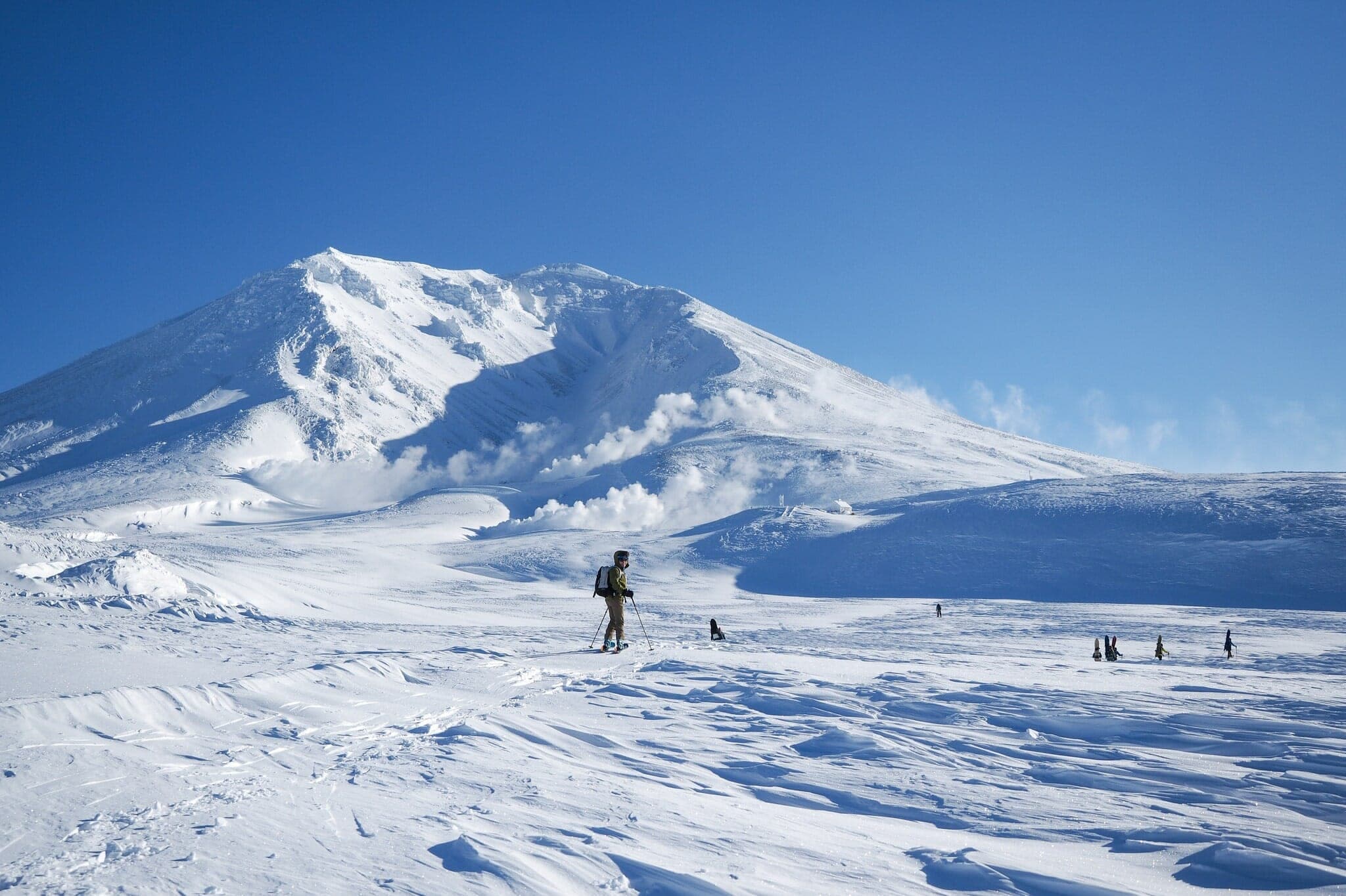
Asahidake summit旭岳
691 m ascent · expert
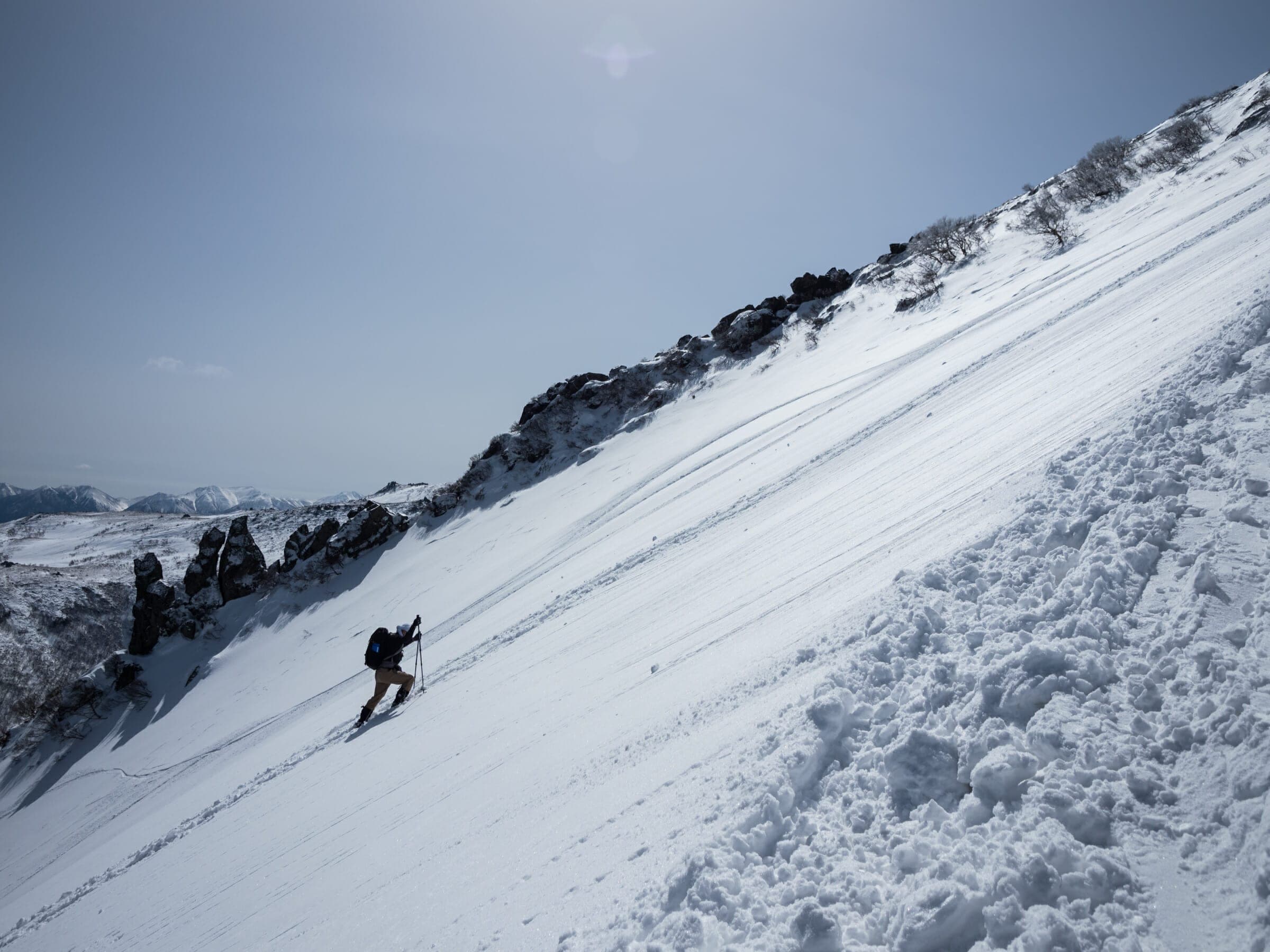
The climb goes up the hard, wind-packed slopes above the fumaroles to 2,291 m. Descend west the way you came; the south side near Kinko-iwa is where parties go missing.
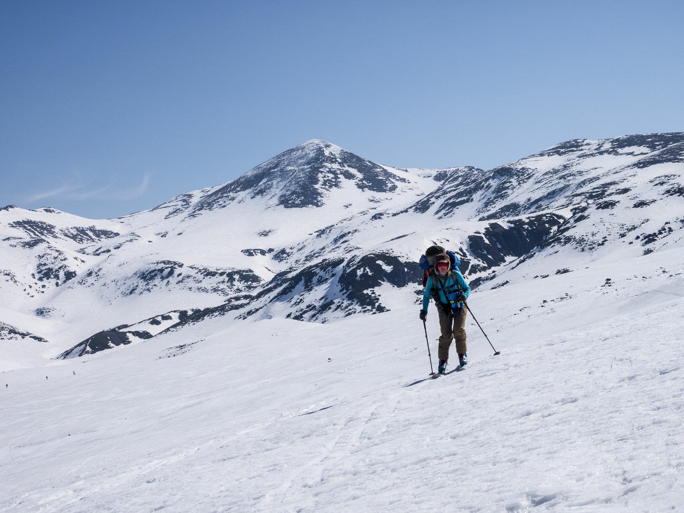
Nakadake Onsen loop中岳温泉
762 m ascent · expert
This overnight spring tour crosses the summit and the Ohachidaira crater rim to a hot spring at 1,840 m and returns across Asahidake's flanks. About 14.7 km and 9.5 hours, best March to May.
Follow the published lines in 3D立体地図
6 trip reports
What riders report from the hill山行記録
2017-12 · Hokkaido Wilds trip report
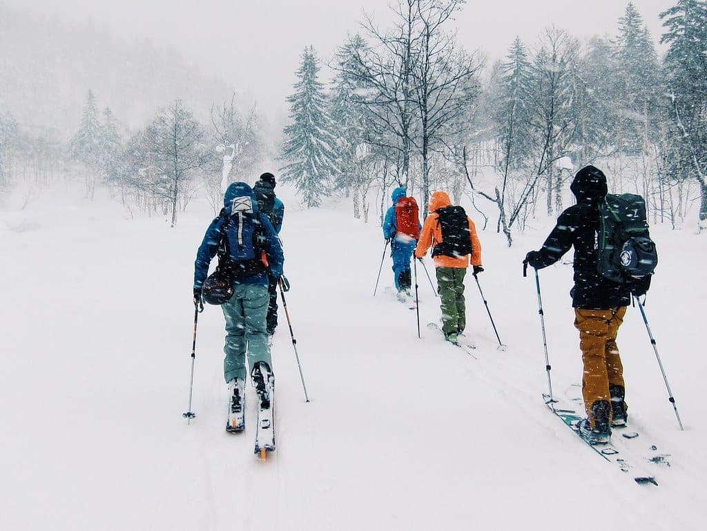
In a report published in December 2017, a near-whiteout turned the party back a quarter of the way to the stone hut on day one, with visibility down to about 20 m, and the next morning was dead calm. The stone hut is an emergency shelter only and its upper window freezes shut.
Read the source2019-04-28 · Hokkaido Wilds trip report
On 28 April 2019 a stream of hikers in crampons and sneakers climbed the summit ridge while the author skinned long traverses across the south face to ease the angle. The whole loop sits above treeline on featureless snowfields, so it needs a clear forecast and a GPS.
Read the source2025-01-21 · SkiTalk trip report
On 21 January 2025 the ropeway line took more than an hour and a half, and skin tracks ran straight up toward the crater with parties skiing over each other. A long traverse across the flat middle reached an untracked face that dropped into open trees.
Read the source2025-12-04 · Reddit r/Backcountry
Commenters describe the climb from the ropeway base as an easy walk up a cat track, with the steam vents about 15 minutes on foot from the top station. One warns that snowcats run on that track during the day.
Read the source2026-03 · Hokkaido Wilds SAR analysis
Police data show 10 sidecountry victims around Asahidake between 1 January and 28 February 2025. Eight of those 10 were foreign nationals, and a government count put about 206 people a day through the top station.
Read the source2025-11 · Hokkaido Wilds
The floor of Ohachidaira crater between Asahidake and Kurodake pools invisible hydrogen sulphide, and two parties died there in 1958 and 1961. The national park treats the crater floor as a no-entry zone, which matters if a plateau traverse tempts you down into it.
Read the source
Go with a guideガイド
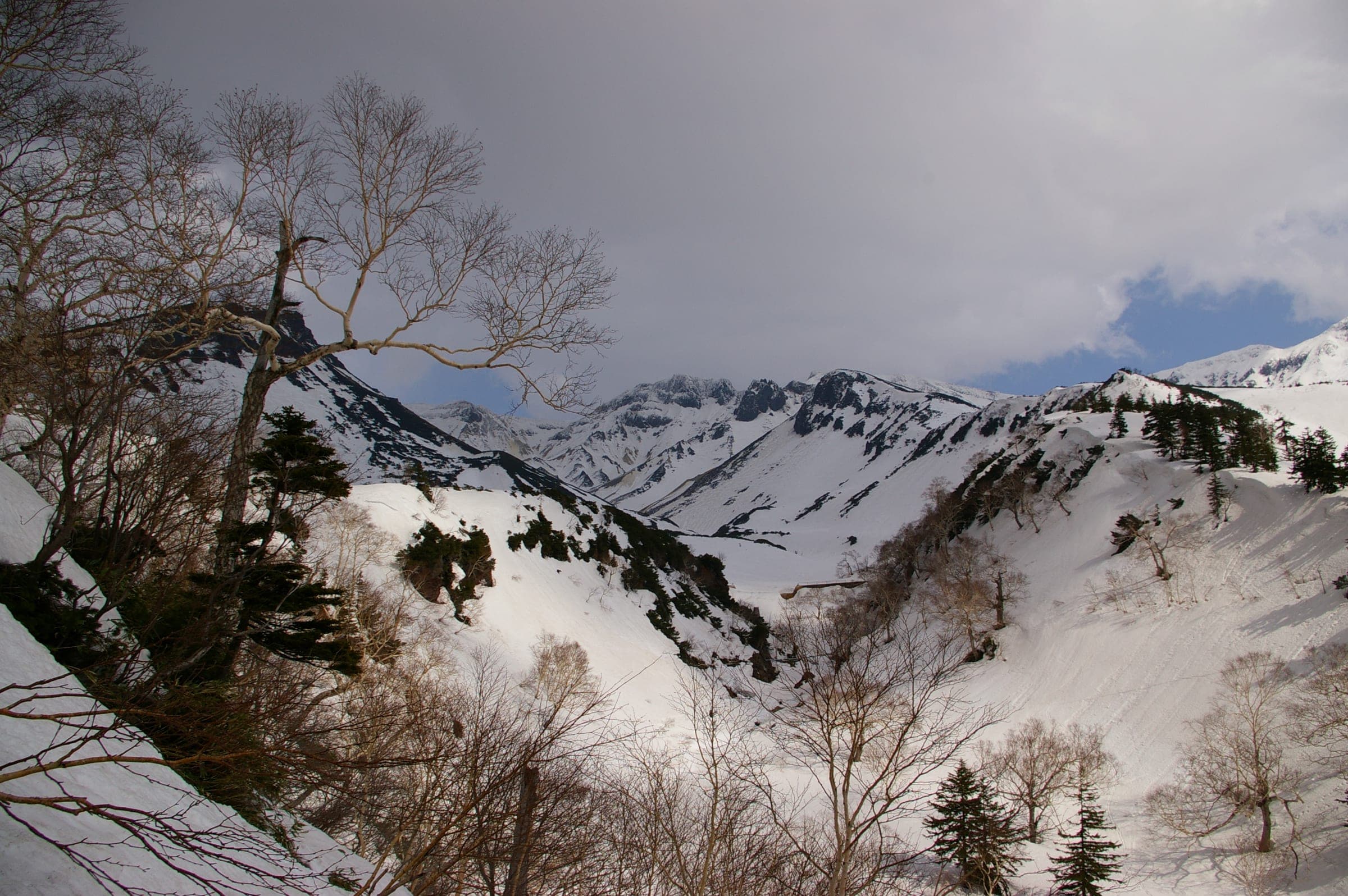
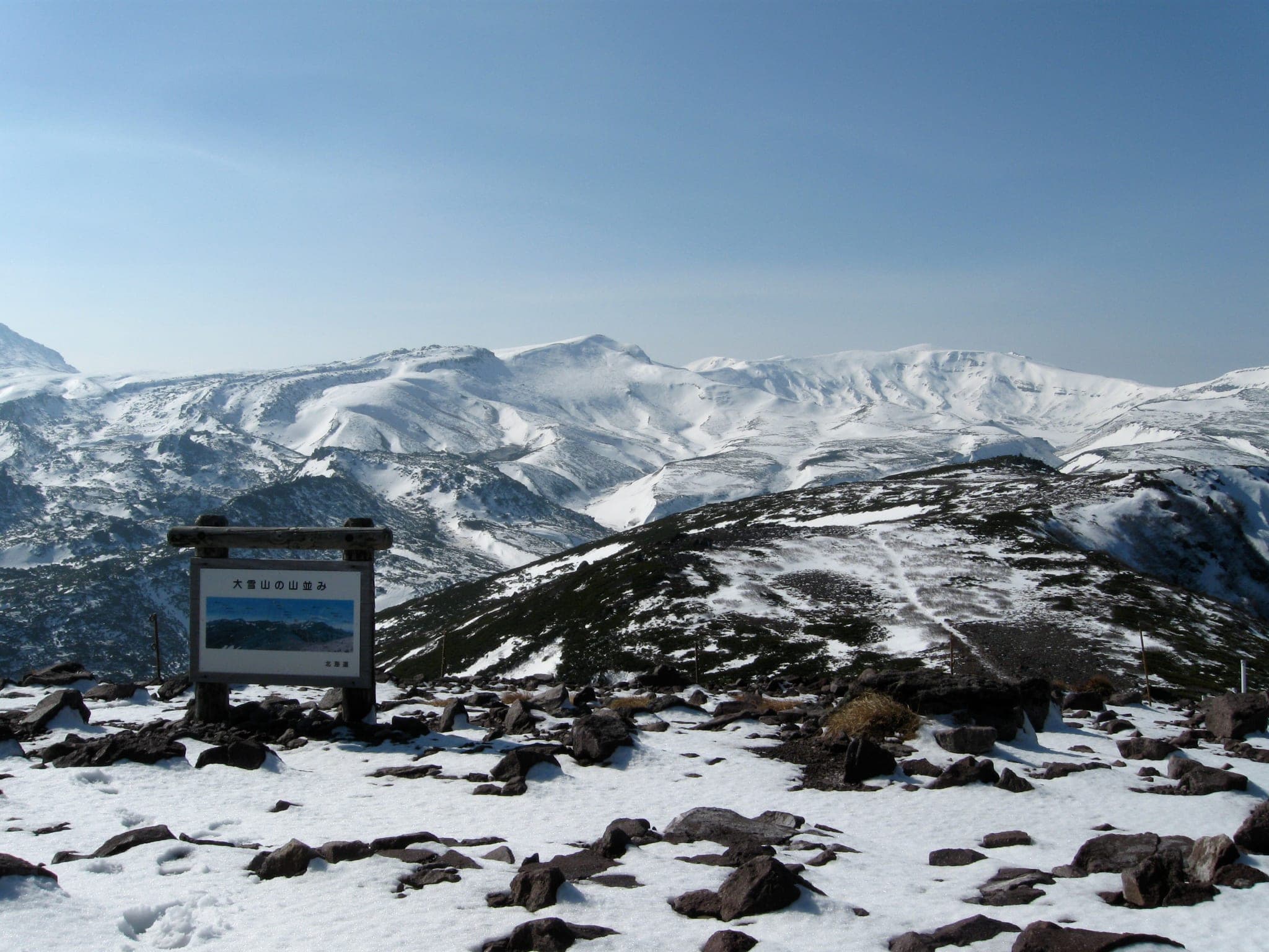
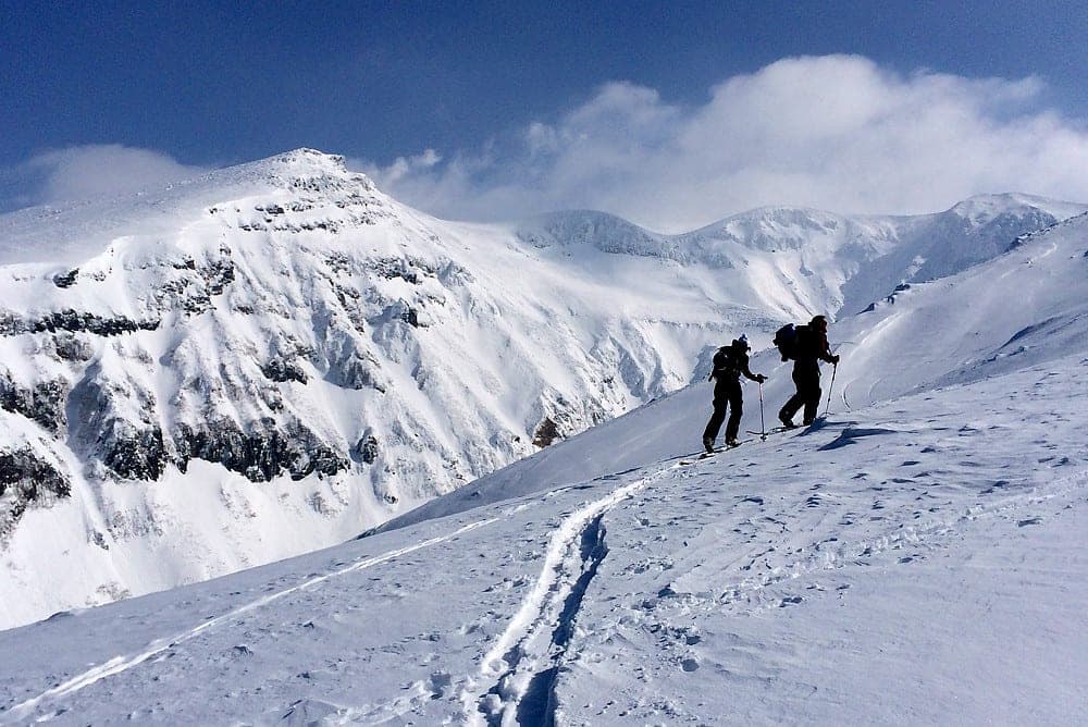
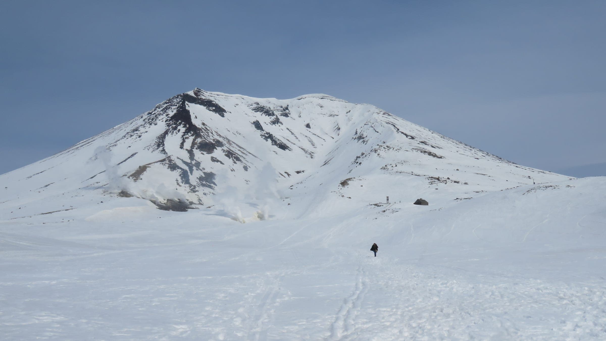

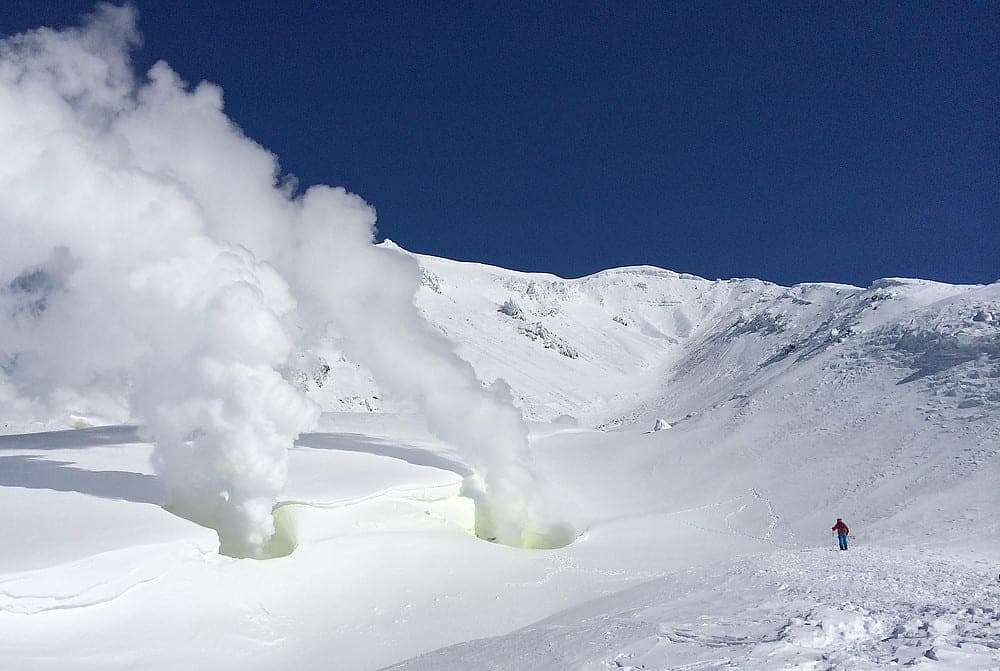
Ten minutes after you leave Asahidake Onsen the ropeway sets you down at 1,600 m on the edge of an exposed volcanic plateau, and your legs are still fresh. That ease of access brings a lot of people up here, and STEEP lists Asahidake as the area with the most mountain accidents in Hokkaido.
Most days the skiing happens below Sugatami, and after a cold storm the snow in these glades is as dry as Hokkaido gets. Tennyo and Ura-ten sit to skier's right of the ropeway line. Ohiroma and the Bannosawa gullies open to skier's left, and every one of them drains back to the cat tracks that lead home. The town's winter map marks Bannosawa and Ura-ban beyond it as avalanche danger zones, so save them for stable days.
Above the station the trees end, and the plateau has no markers. A short tour east takes you to the Jigoku-dani steam vents and back in about 90 minutes, and the summit is another 690 m up hard, icy slopes that want crampons. Higashikawa's survival map tells you to come down the west side. Parties who drop south from near Kinko-iwa go missing often, and anyone who wanders north toward Hisago Marsh finds there is no way back.
Spring opens up the plateau. From March the days are long enough for the summit, and Hokkaido Wilds describes an overnight loop over Asahidake and the Ohachidaira rim to the Nakadake hot spring in the gully below, with a 762 m climb and nearly 15 km of travel. File a plan with police through Compass before any of it, and hire a guide who knows Daisetsuzan for your first day.
Quick answers about Asahidakeよくある質問
How long is a tour on Asahidake?
A typical tour on Asahidake climbs ropeway laps of up to 500 m; about 690 m from Sugatami to the summit and takes 1.5 hours for the steam-vent loop; a full day for the summit; an overnight for the Nakadake Onsen loop.
When can you ski tour Asahidake?
The touring season on Asahidake runs december to May; glades best January to February, summit and plateau March to May.
Do you need a guide for Asahidake?
We recommend a certified guide for Asahidake unless your group can read the snowpack and run its own rescue.
Where do you check avalanche danger for Asahidake?
Read the day's bulletin from Japan Avalanche Network (https://nadare.jp/) before every tour on Asahidake.
Within 30 km
Hot springs nearby温泉

Within 40 km
Ski resorts nearby山
Within 80 km
Backcountry zones nearby山スキー
Within 35 km
Places to stay nearby宿
Within 35 km
Towns and neighbourhoods nearby町


In the journal
