Tokachidake & Sandan-yama
十勝岳・三段山43°25′ N 142°41′ Eadvanced2,077 mGuide recommended
The volcanic amphitheatre above Hakuginso and Tokachidake Onsen is Hokkaido's best-known touring ground, and since September 2026 a Level 3 eruption alert has closed every approach from Kamifurano.
Volcanic alert
Tokachidake is at volcanic alert level 3
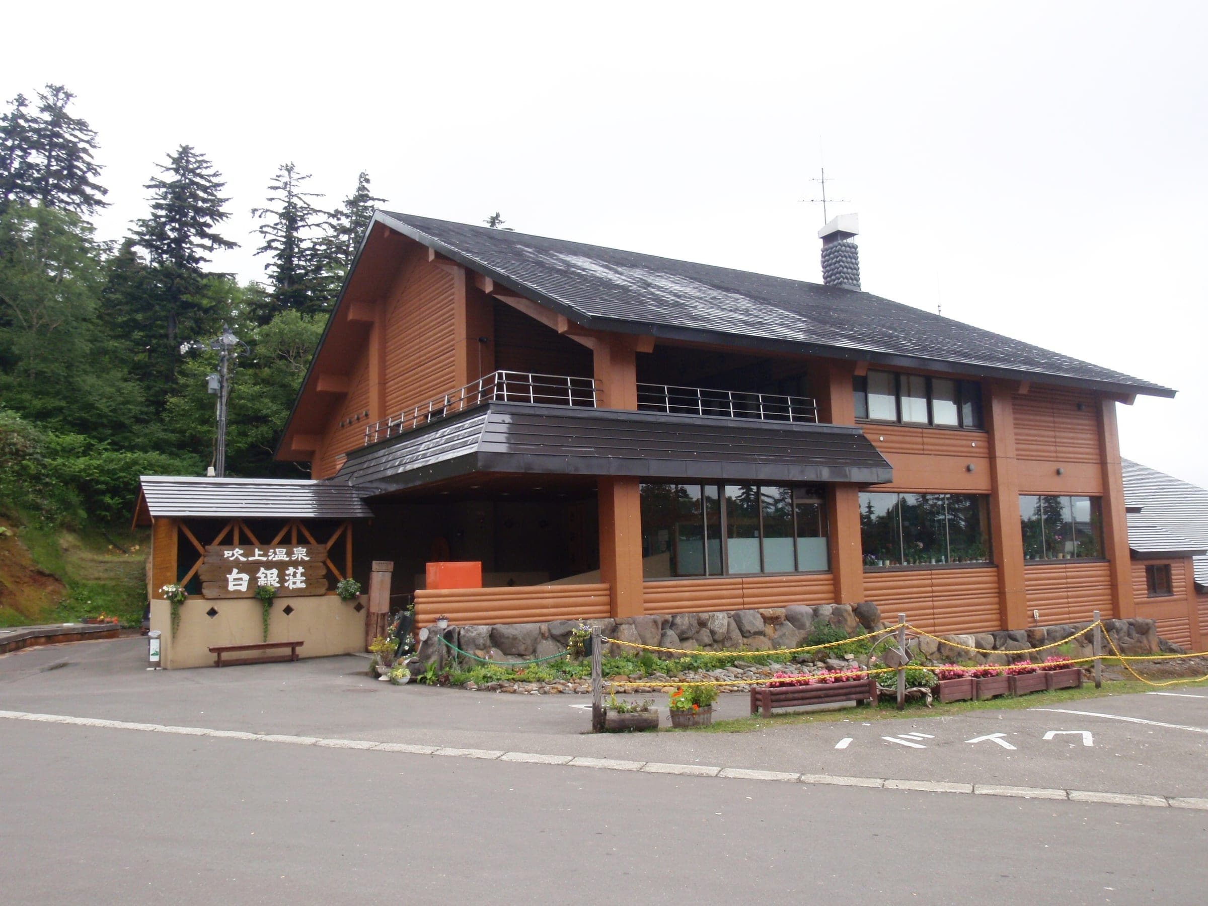
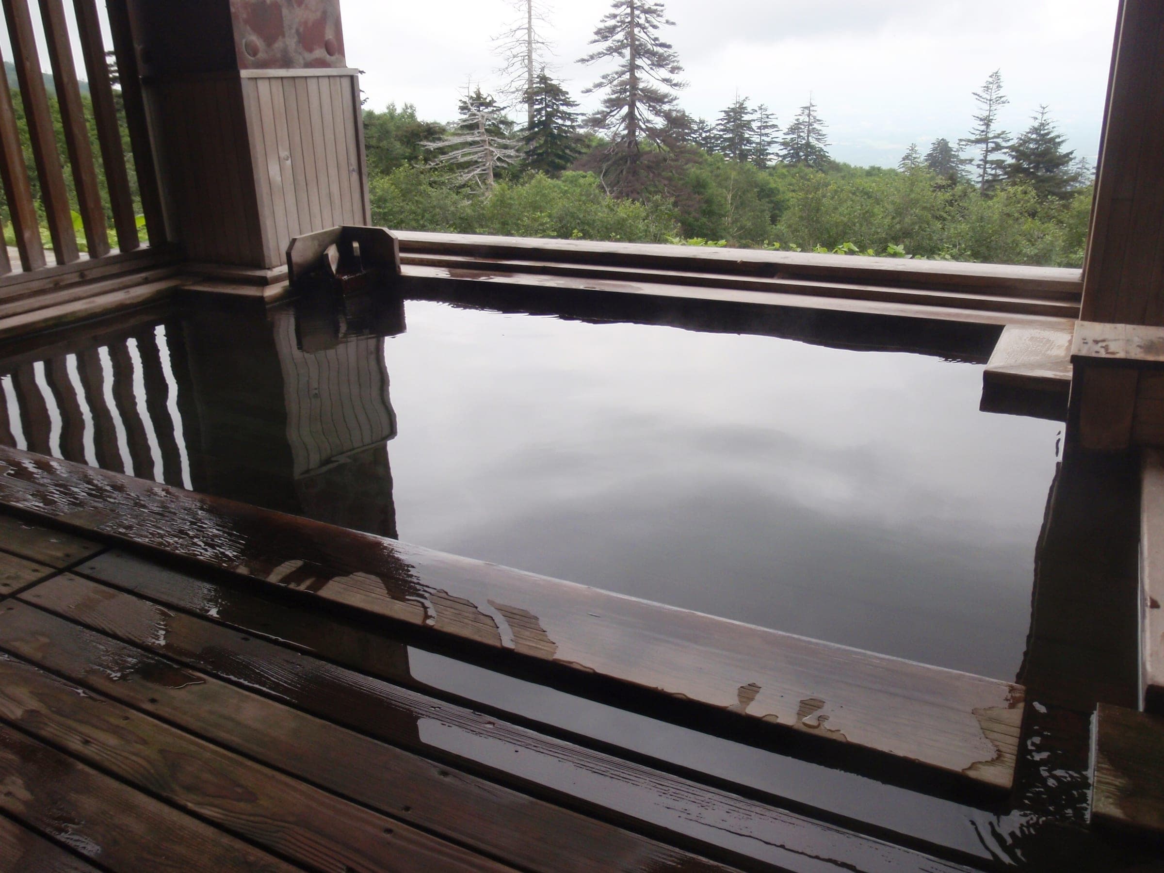
The Japan Meteorological Agency raised Tokachidake to level 3 on 12 September 2026, which restricts entry around the crater. Fukiage Onsen Hakugin-so and the Fukiage Roten-no-yu outdoor bath are closed, and Ryounkaku has asked guests who couldn't evacuate quickly to stay away for now. Check the JMA bulletin before you plan any tour on the Tokachi range.
Checked 2026-10 · jma.go.jp
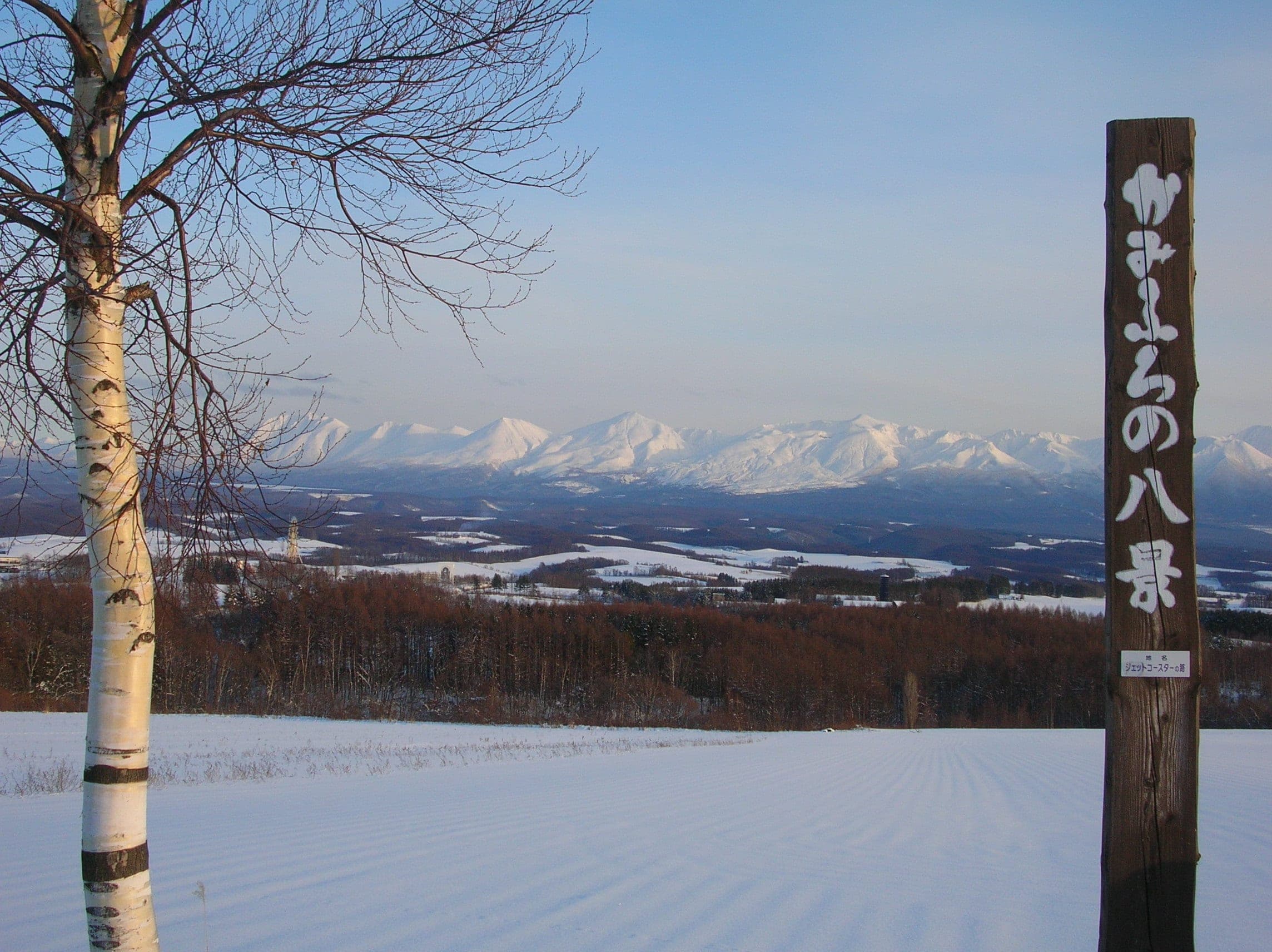
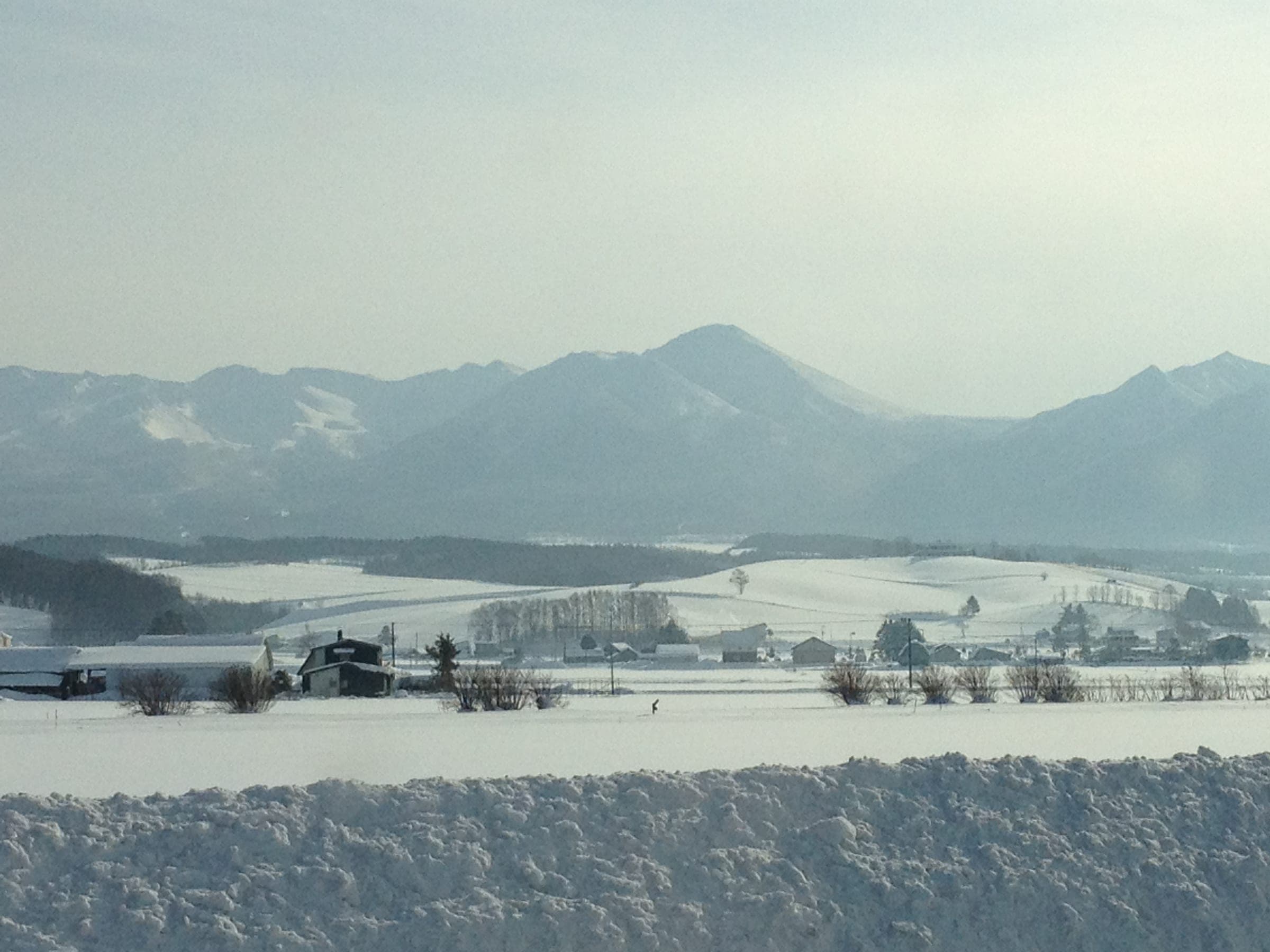
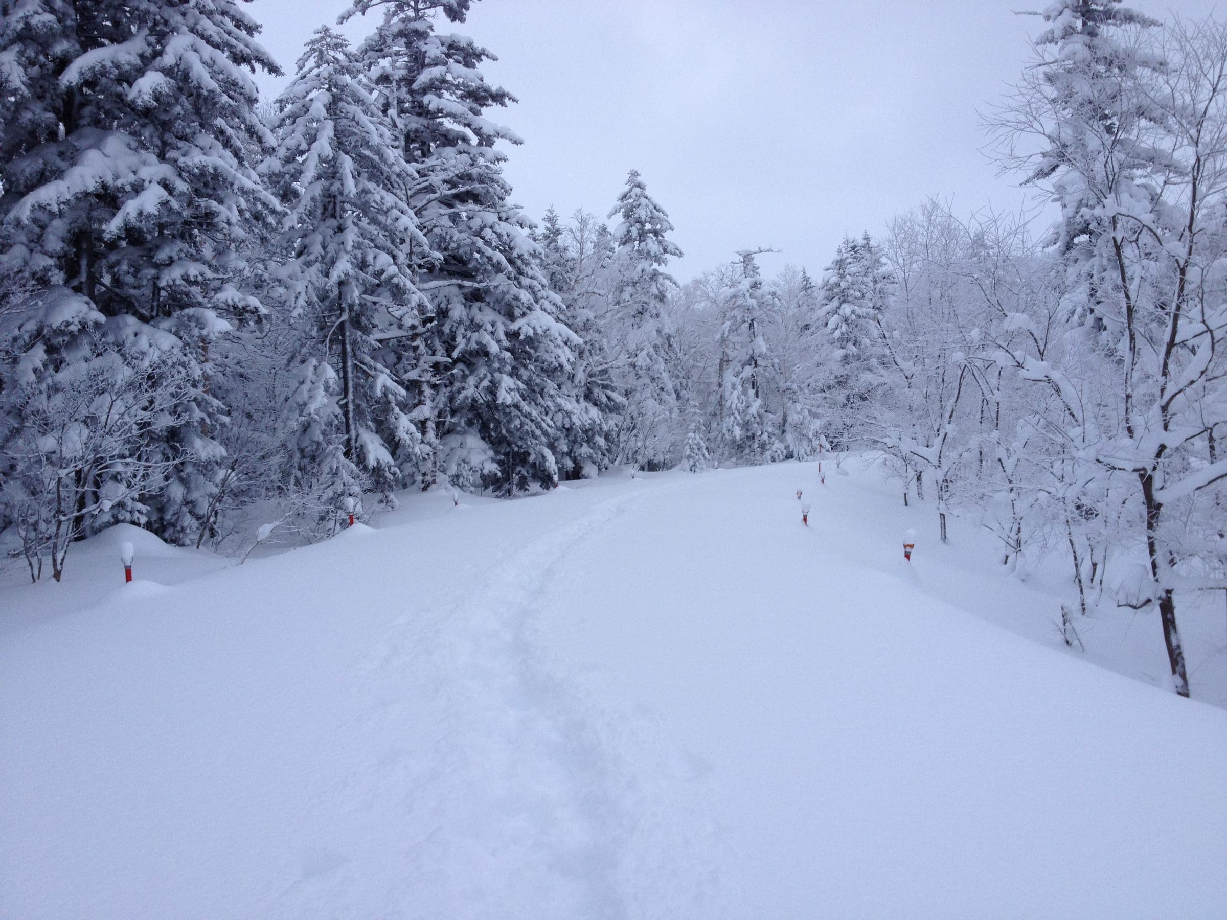
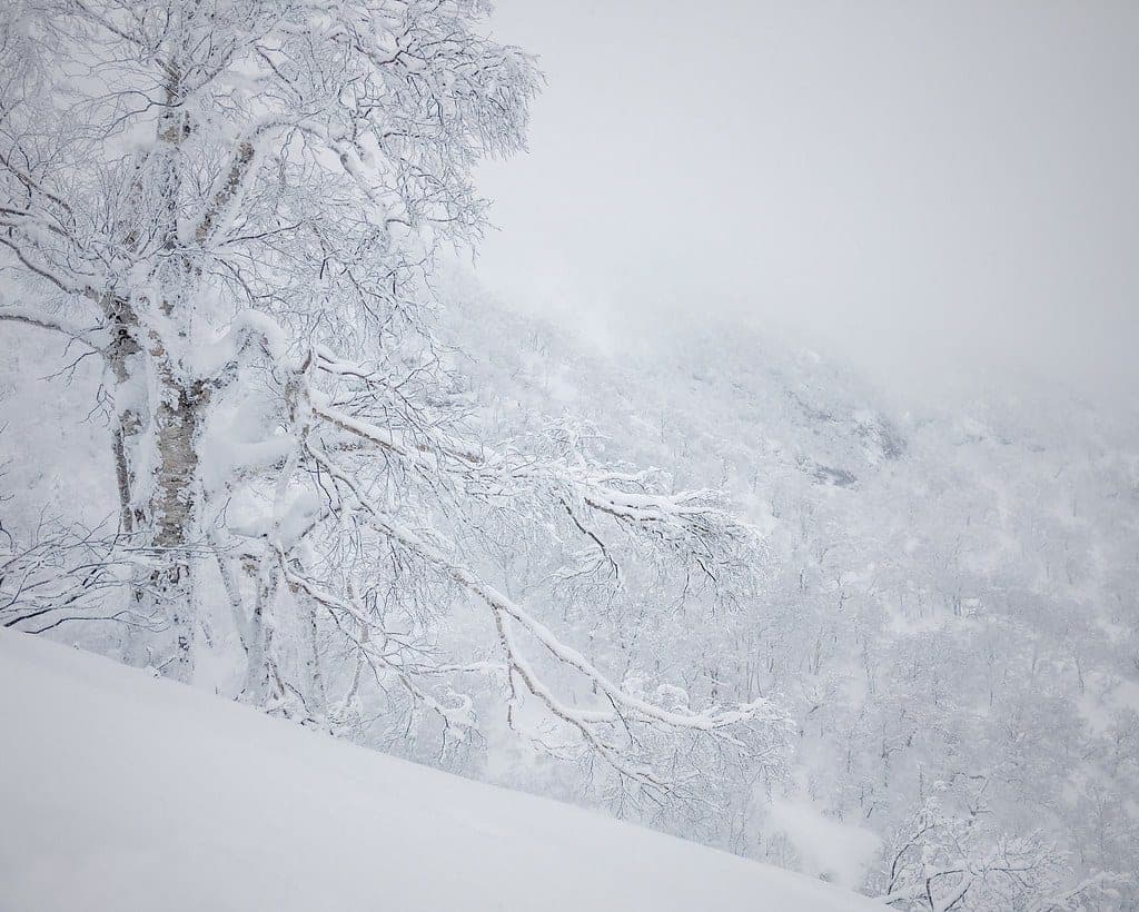
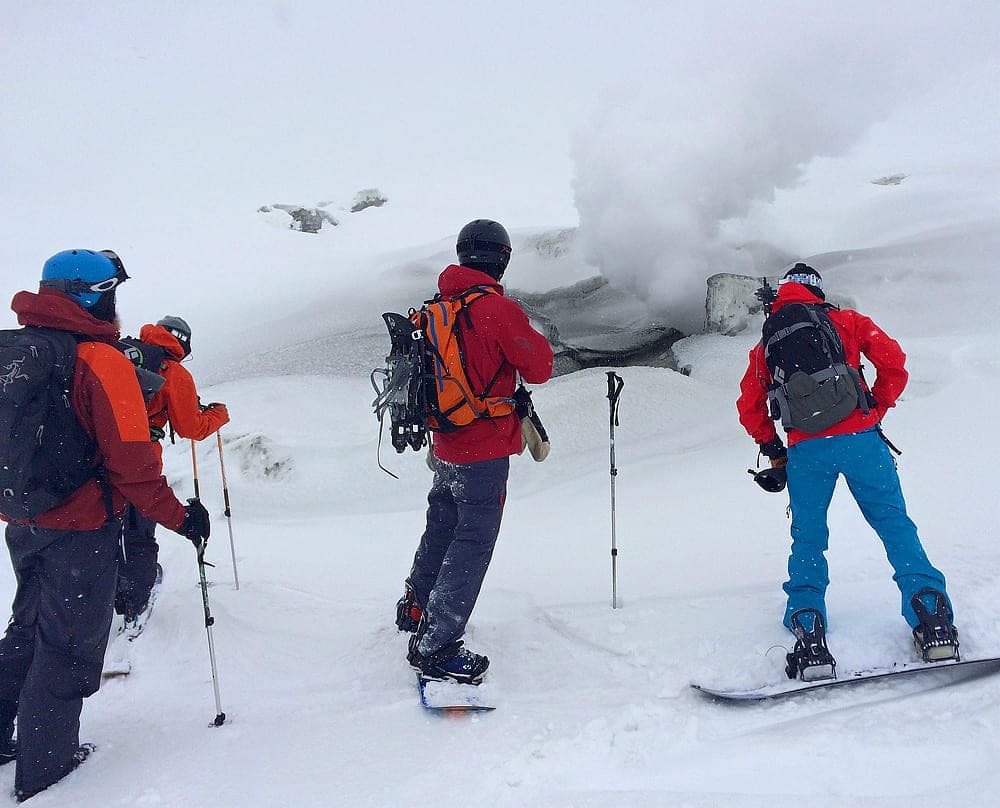
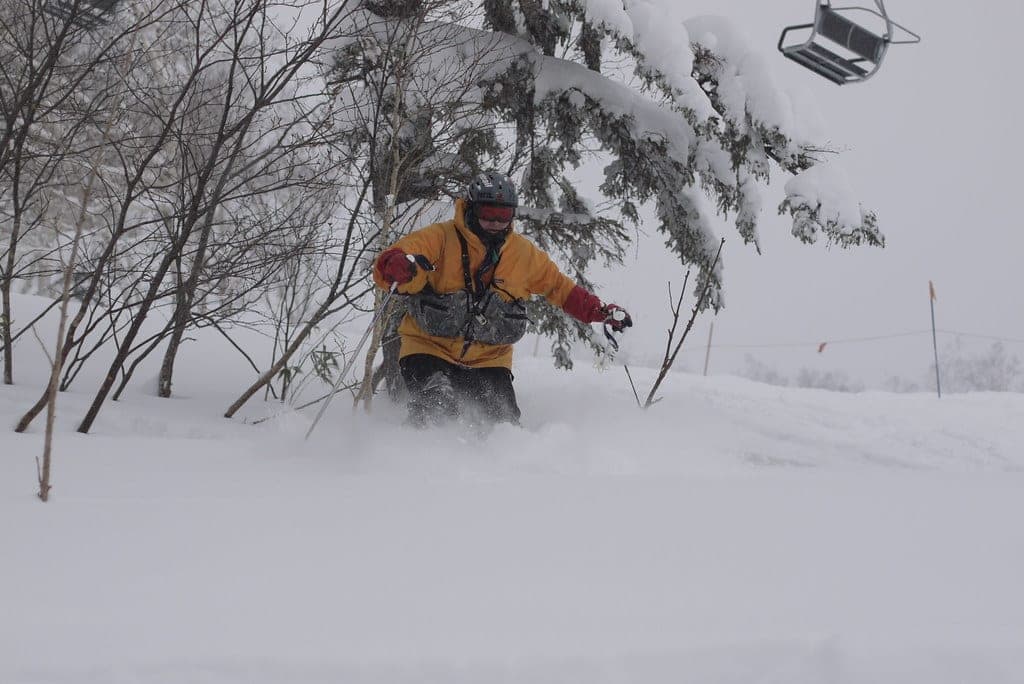
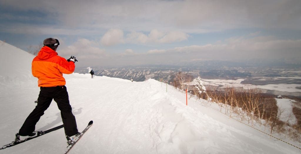
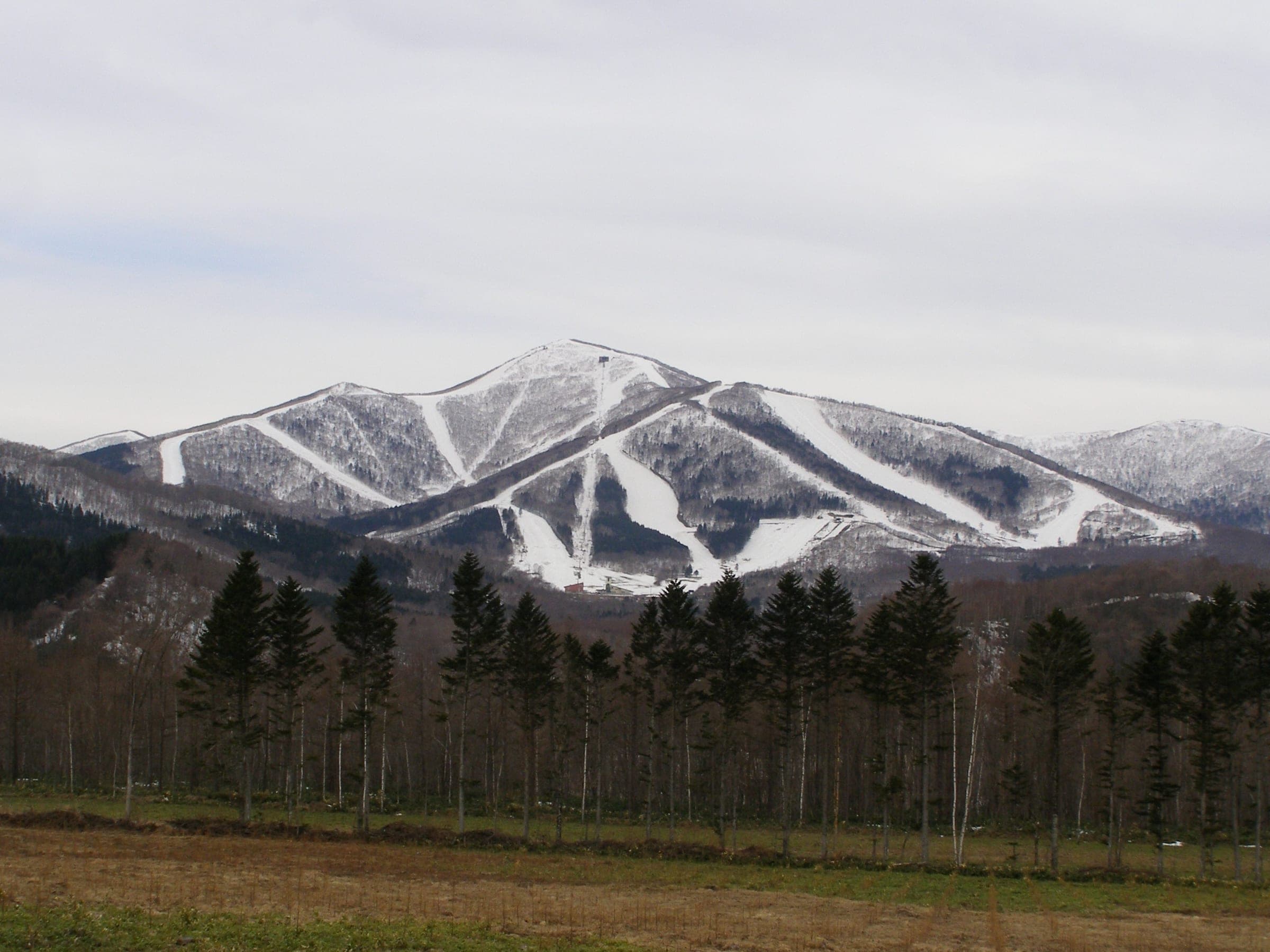
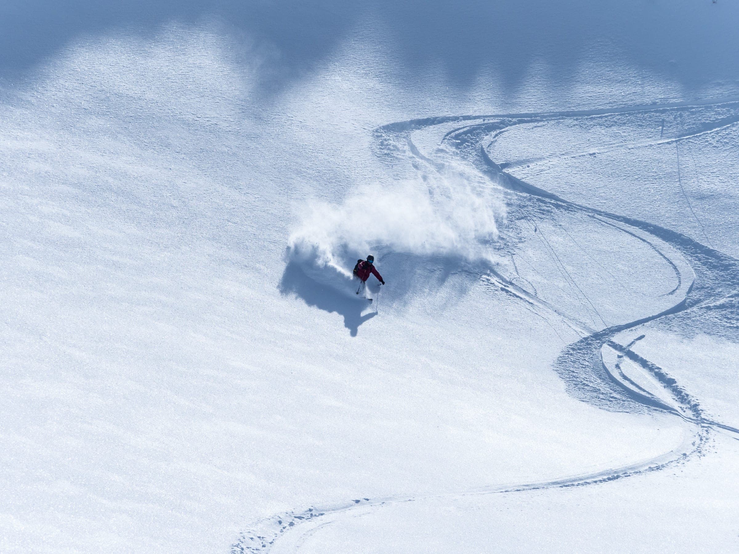
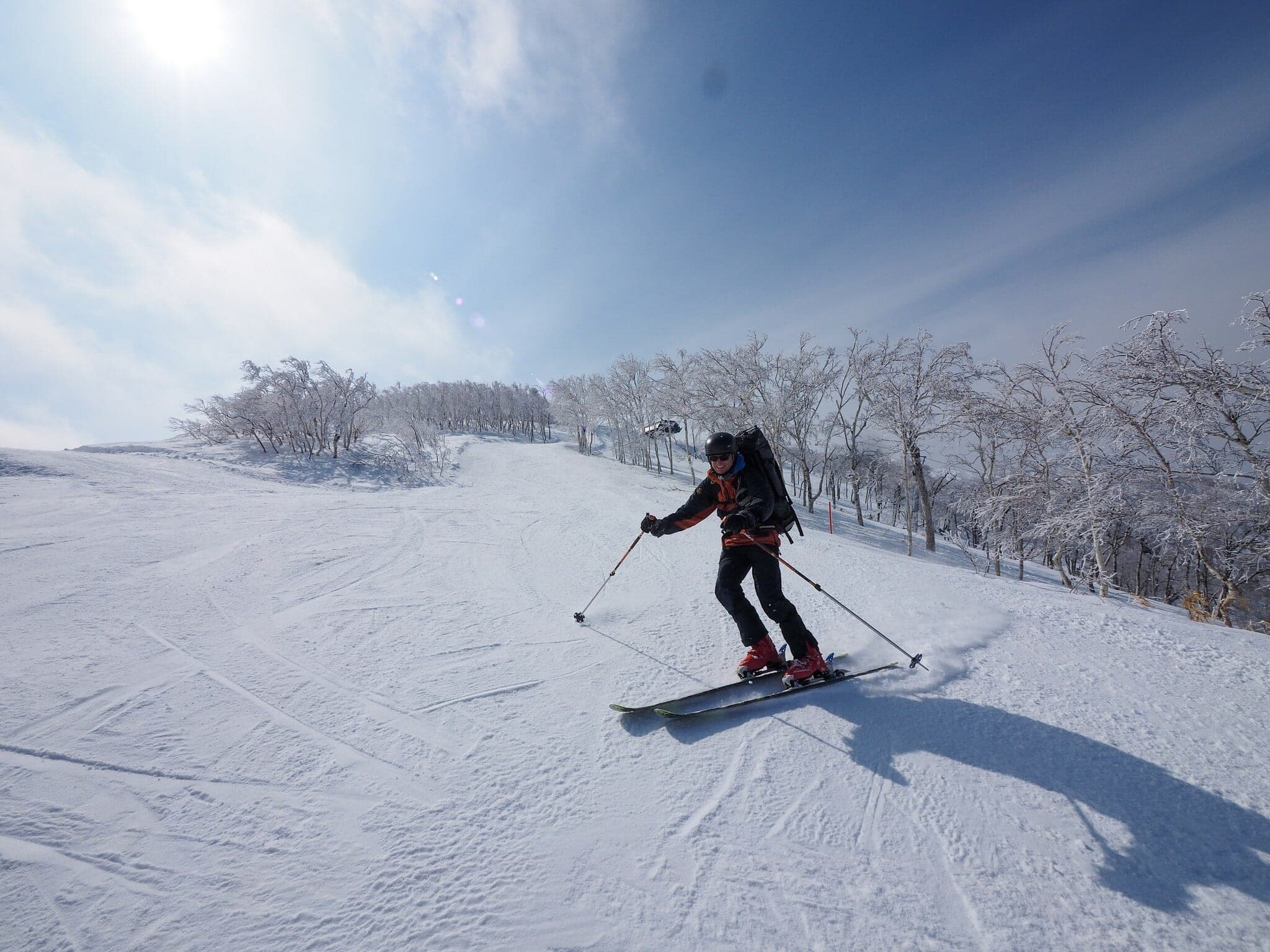
Photo Robert Thomson · Flickr · CC BY-SA 2.0 and others, credited in the gallery
Read the terrain
Open volcanic slopes and gullies rise above a band of low pines and burned stumps. Sandan-yama climbs in steep steps to 1,748 m and drops into the half-pipe gully of Higashi-no-tani, and the Kamihoro valley below Tokachidake Onsen packs short, steep bowls around steaming ground.
Watch for these hazards
- Volcanic alert Level 3 (entry restrictions) since 12 September 2026: Kamifurano town has banned all climbing from the Tokachidake Onsen and Fukiage trailheads, Hakuginso and Fukiage Roten-no-yu are closed with no reopening date, and the Tokachidake Skyline is shut between the Tokachidake and Bogakudai gates
- JMA warns of large ballistic rocks within about 3 km of the crater; SO2 output has risen since April 2026 and the edifice has been inflating since March
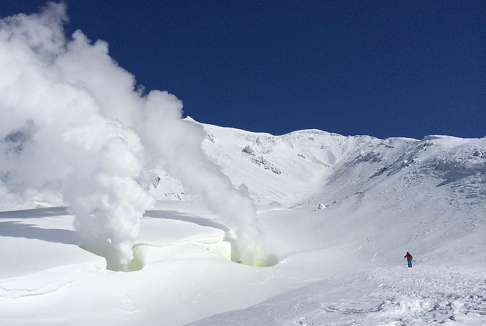
- Fumaroles and toxic yellow plumes near Taisho crater and on Maetokachi's ridge; stay low in poor visibility
- Higashi-no-tani is a classic terrain trap
- Hard windpack and rime above treeline; ski crampons help
- Cold: Hakuginso often drops below -15°C and summit windchill reaches about -25°C
- No daily avalanche bulletin covers the Daisetsuzan range; JAN Central Hokkaido publishes three times a week
Pick a route that suits the dayルート
Sandan-yama (summer trail)三段山
731 m ascent · advanced
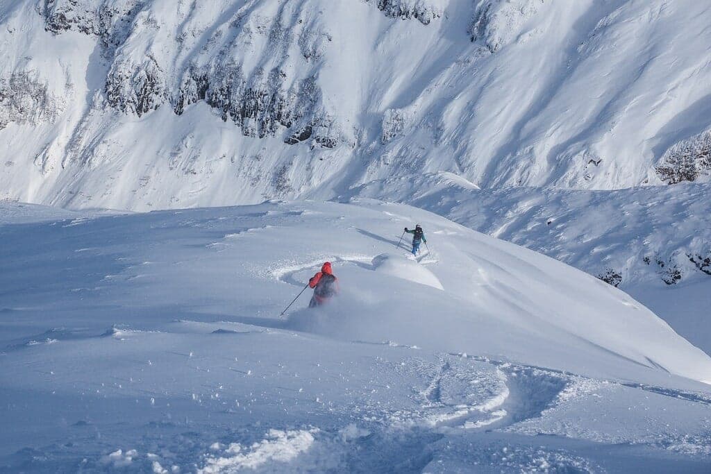
The route climbs from Hakuginso up the old ski slope and the packed summer trail to the 1,748 m summit in about 3 hours. Expect three steep steps above treeline and a fourth in the trees, with icy clumps hiding under fresh snow.
Sandan-yama Higashi-no-tani三段山 東の谷
730 m ascent · advanced
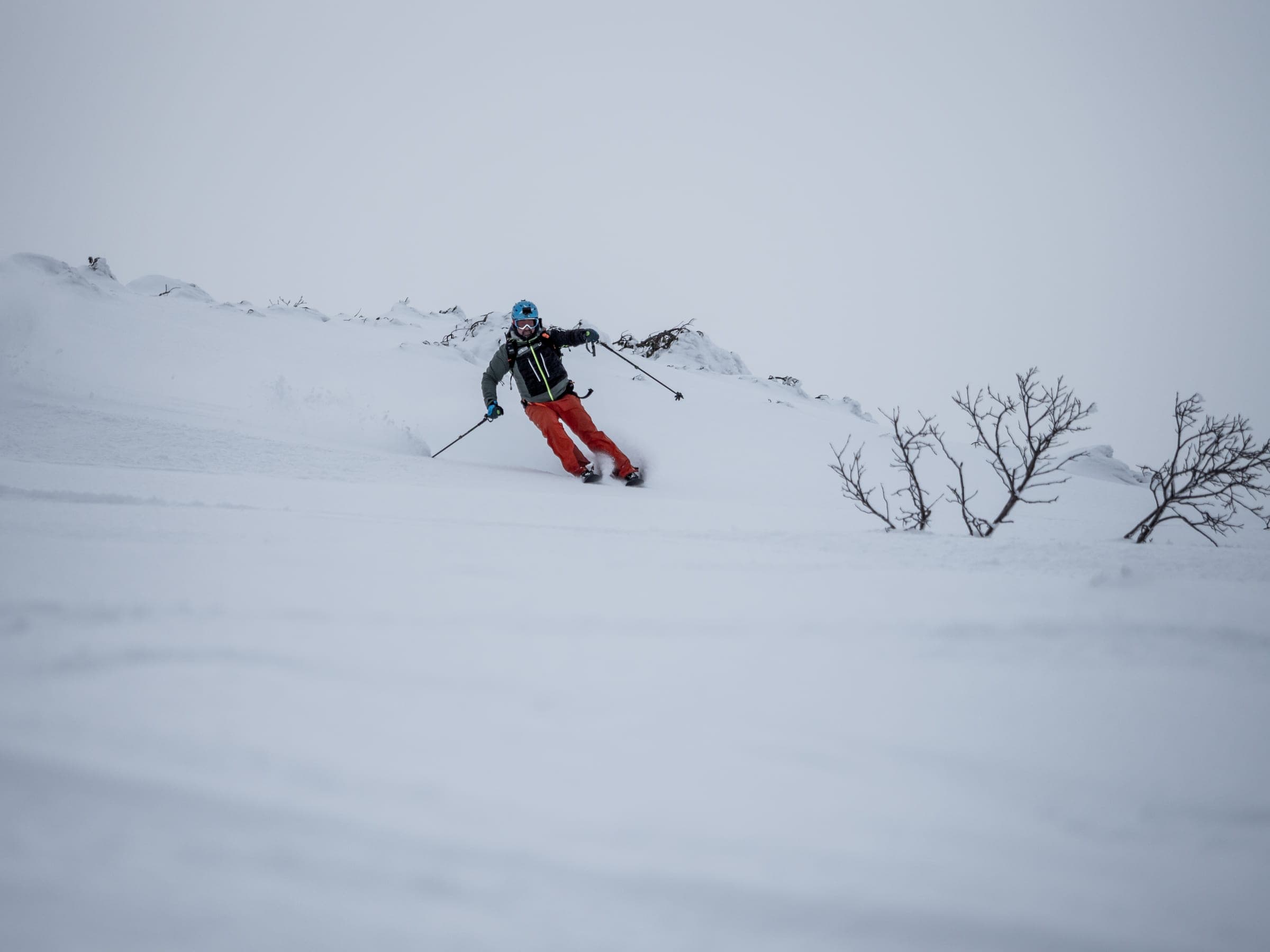
You enter this northeast gully off the upper mountain at about 1,500 m. Its 150 m steep section funnels into a wide half-pipe that traps debris, so confirm stability first.
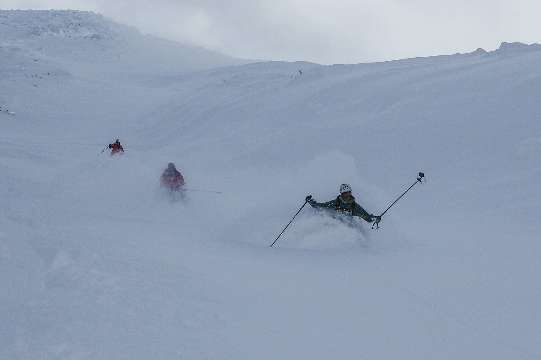
Maetokachi Kabawara Ridge前十勝岳 カバワラ尾根
770 m ascent · advanced
This broad northwest face of gullies and snowfields is reached through a dead, burned forest. The top 150 m is usually scoured, and the traverse on to Tokachidake crosses the plume and an unstable crater rim.
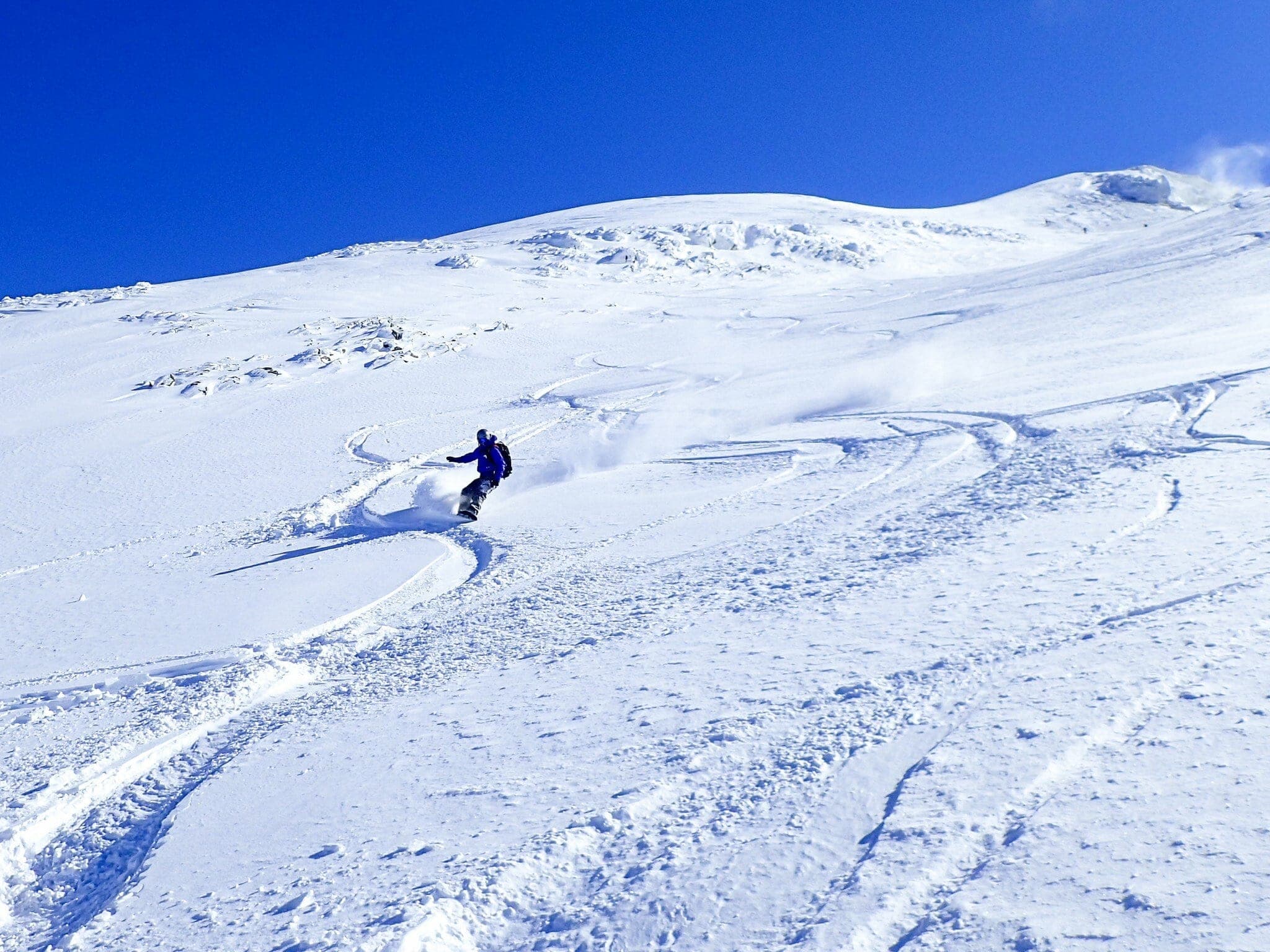
Maetokachi via Taisho Crater前十勝岳 大正火口
578 m ascent · advanced
Crosses to the 1,300 m Tokachidake emergency shelter and climbs a bowl to Taisho crater, where fumaroles near 300°C stain the snow yellow. The traverse from the lodge is featureless in cloud.
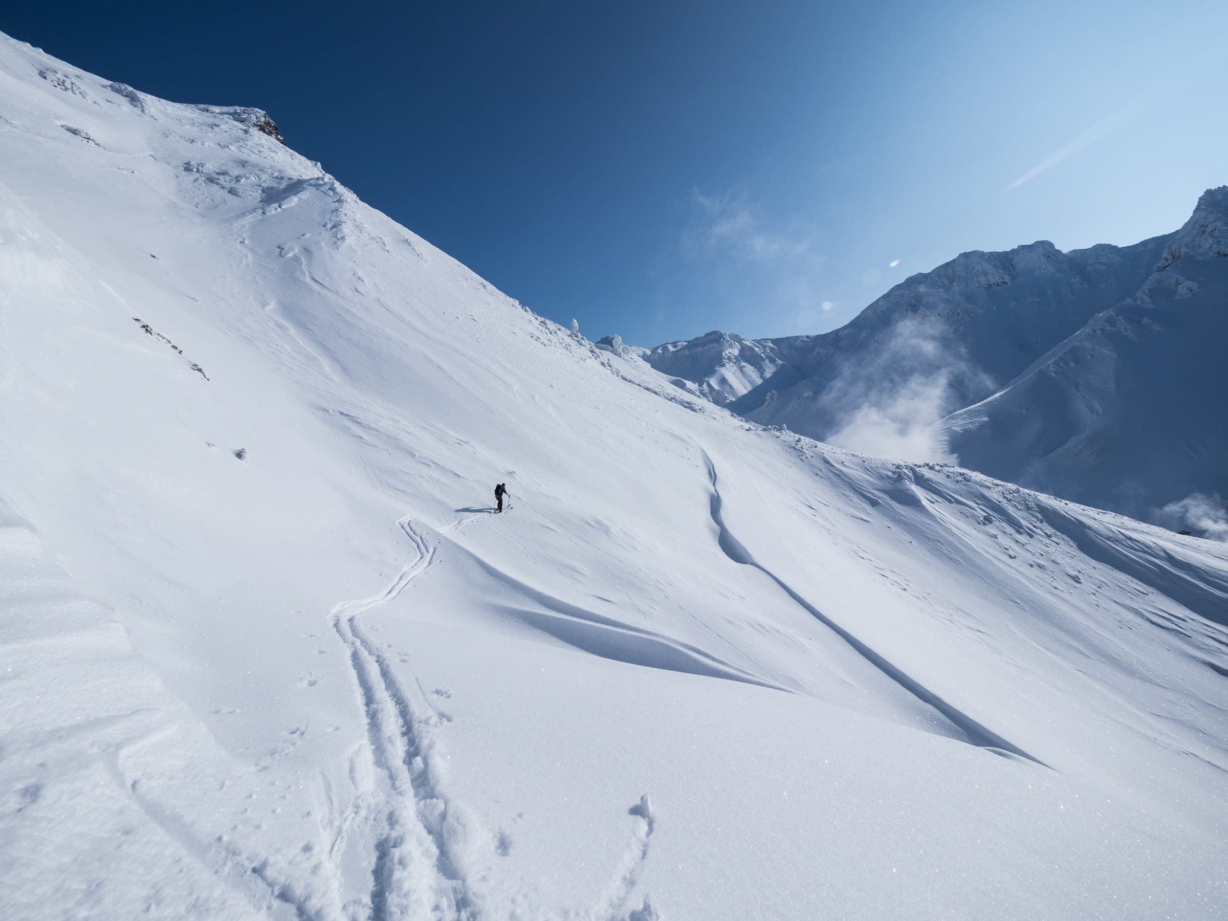
Ansei Crater (Kamihoro valley)安政火口
500 m ascent · advanced
The route drops from the Ryounkaku car park into the steaming Kamihoro valley and climbs about 1.5 hours to a 1,600 m high point. Compact bowls and gullies drop off wind-scoured spurs under Kamihorokamettoku-yama.
See the closed lines on the terrain立体地図
5 trip reports
What riders report from the hill山行記録
Every report below predates the Level 3 volcanic alert of 12 September 2026. Kamifurano has banned climbing from these trailheads, and none of these routes is open for 2026/27 until the town and JMA say otherwise.
2016-01 · Hokkaido Wilds trip report
In a report published in January 2016, the party started at 7 am from Hakuginso in light snow and climbed the old ski slope behind the lodge onto the main ridge. Temperatures at the lodge often sit below -15°C.
Read the source2024-01-21 · Hokkaido Wilds trip report
After a -20°C night the main face was tracked out and a strong westerly scoured the summit ridge. Higashi-no-tani was still untracked, and most parties hike back to the main face to lap it.
Read the source2016-01 · Hokkaido Wilds trip report
In a report published in January 2016, the party turned back in cloud about 90 minutes up Kabawara through dwarf pine and found a wide gully with waist-deep powder on the way down. The guide notes rising volcanic activity on Maetokachi since 2021.
Read the source2018-02 · Hokkaido Wilds trip report
In a report published in February 2018, snow was streaming off Sandan-yama and Kabawara in a gale, and the eastern side of Maetokachi's face was sheltered enough to climb. The emergency hut was unlocked once the door was dug out, and icy patches higher up pushed the party to traverse.
Read the source2023-02-11 · Hokkaido Wilds trip report
A cold, windless morning at the 1,200 m Ryounkaku car park opened the Kamihoro valley to exploring. The guide flags most of the skiable terrain here as high avalanche exposure with a complex valley floor.
Read the source
Go with a guideガイド
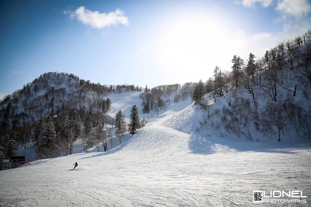
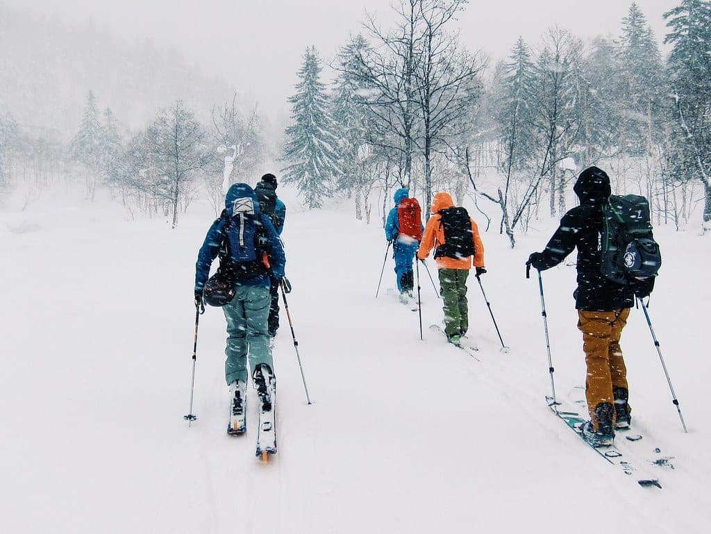
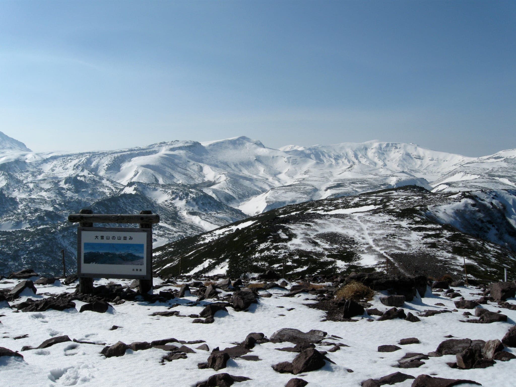
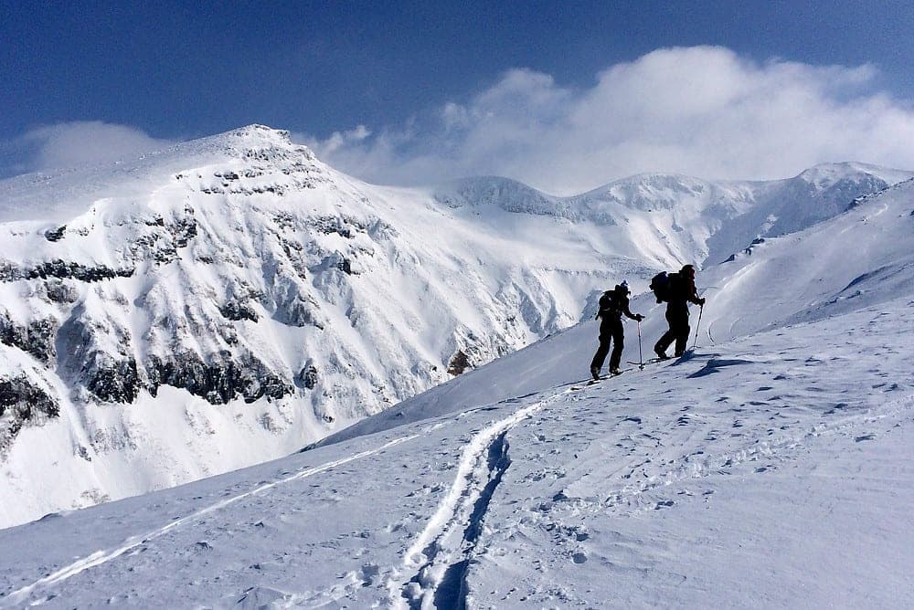
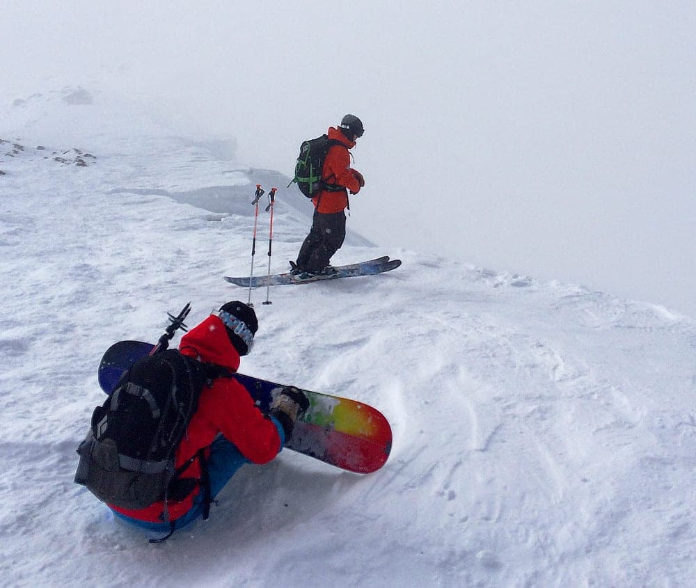
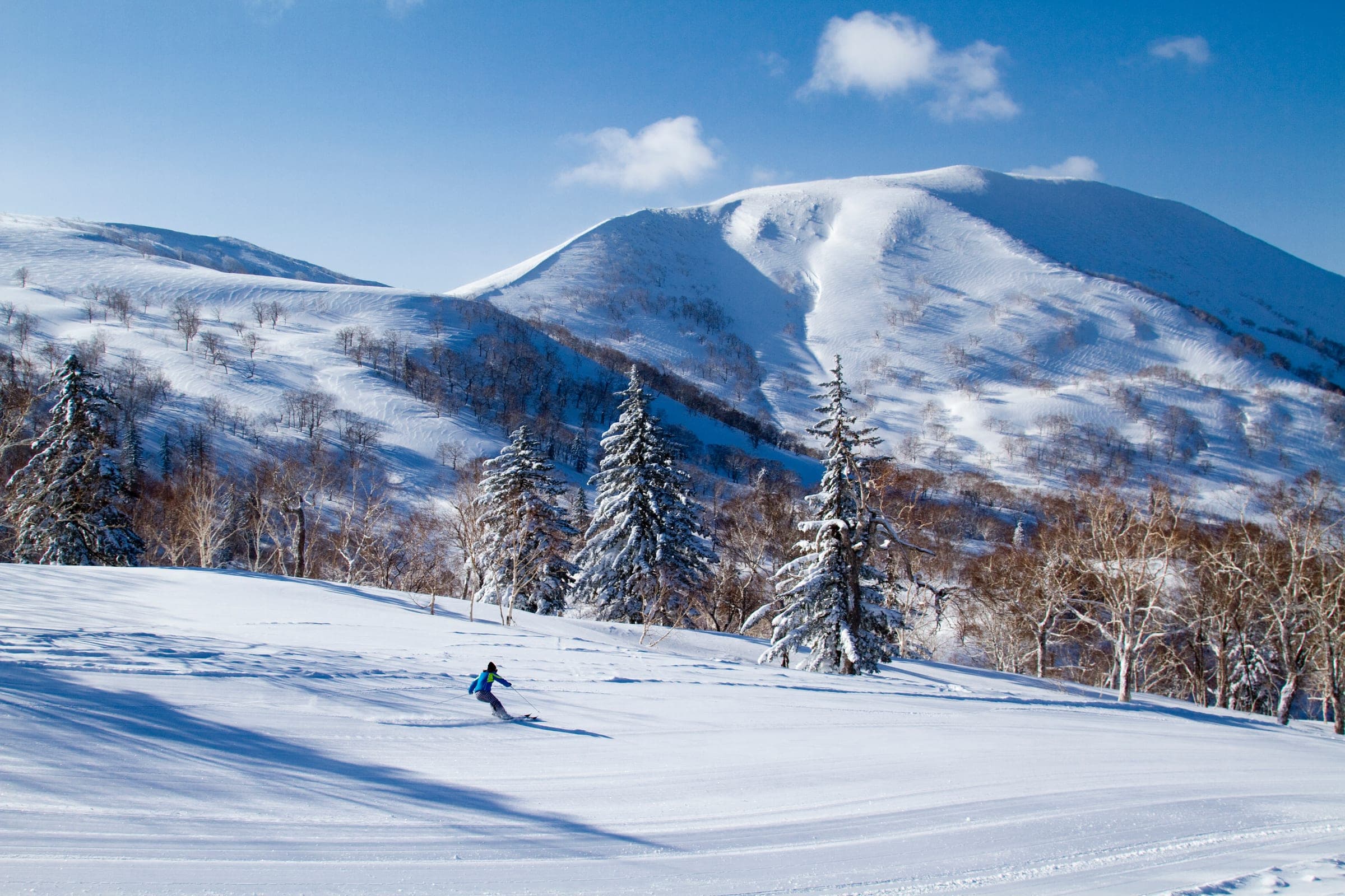
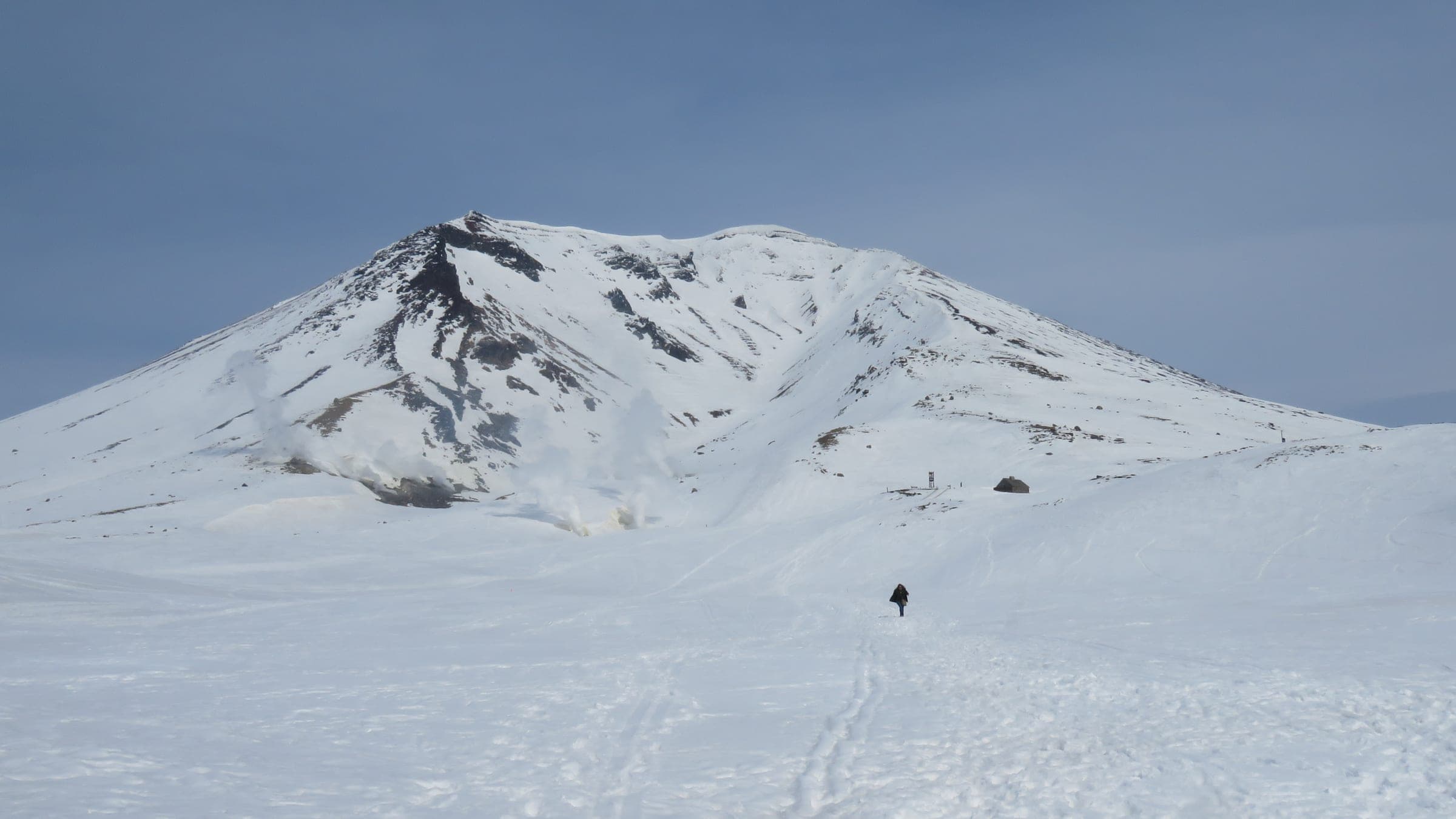

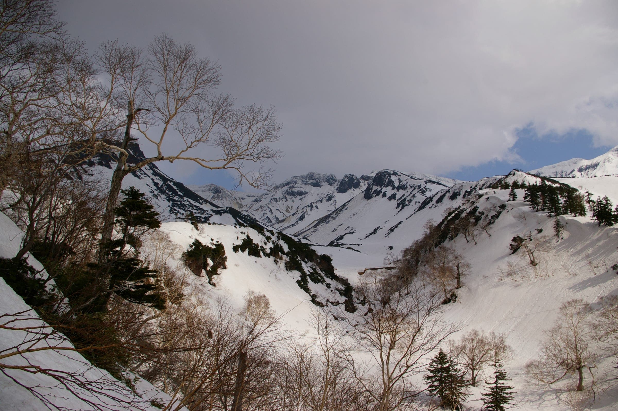
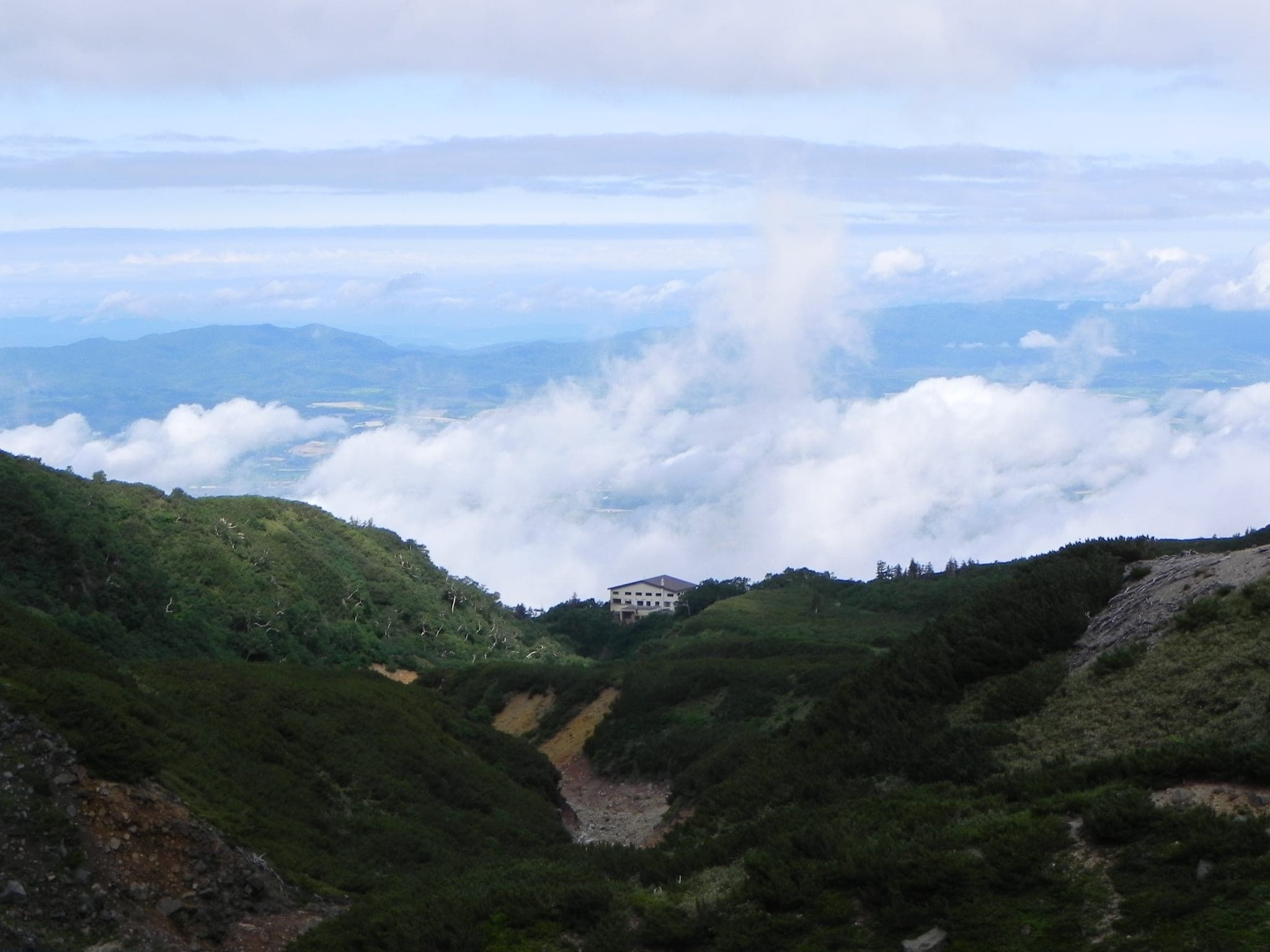
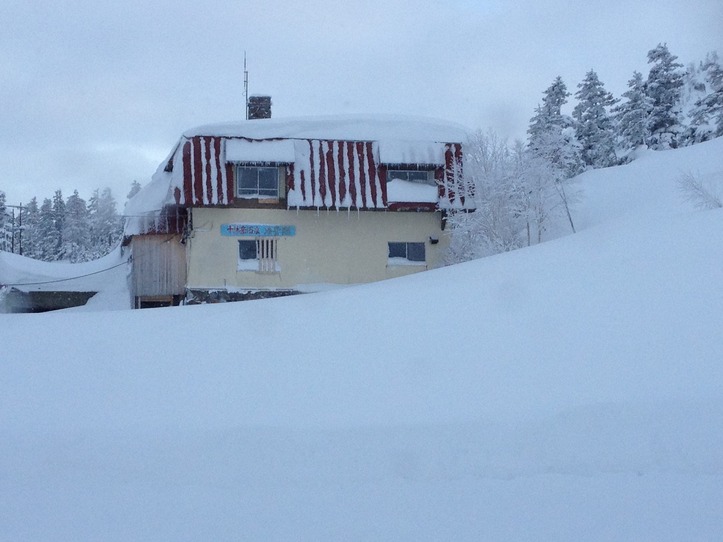
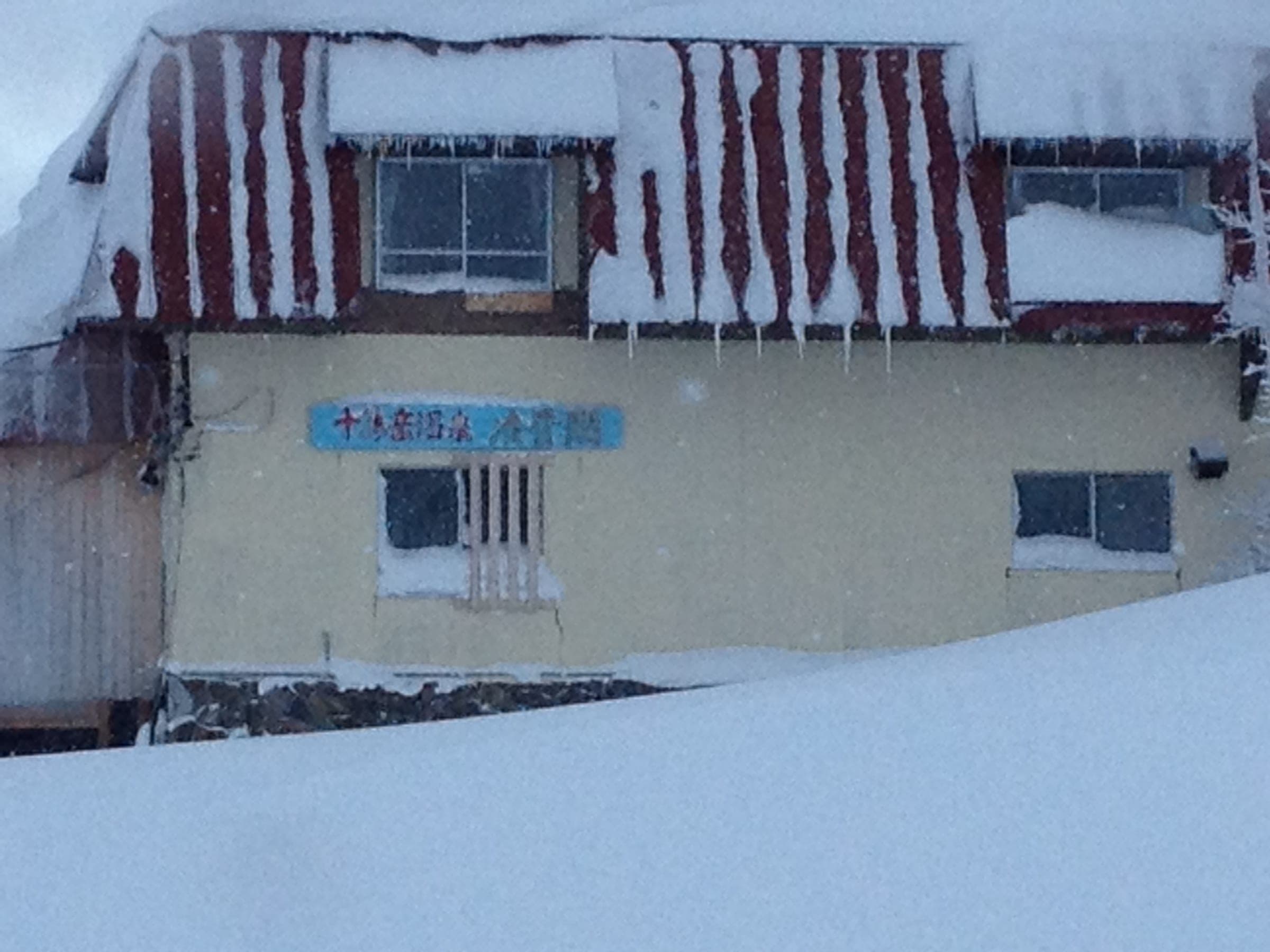
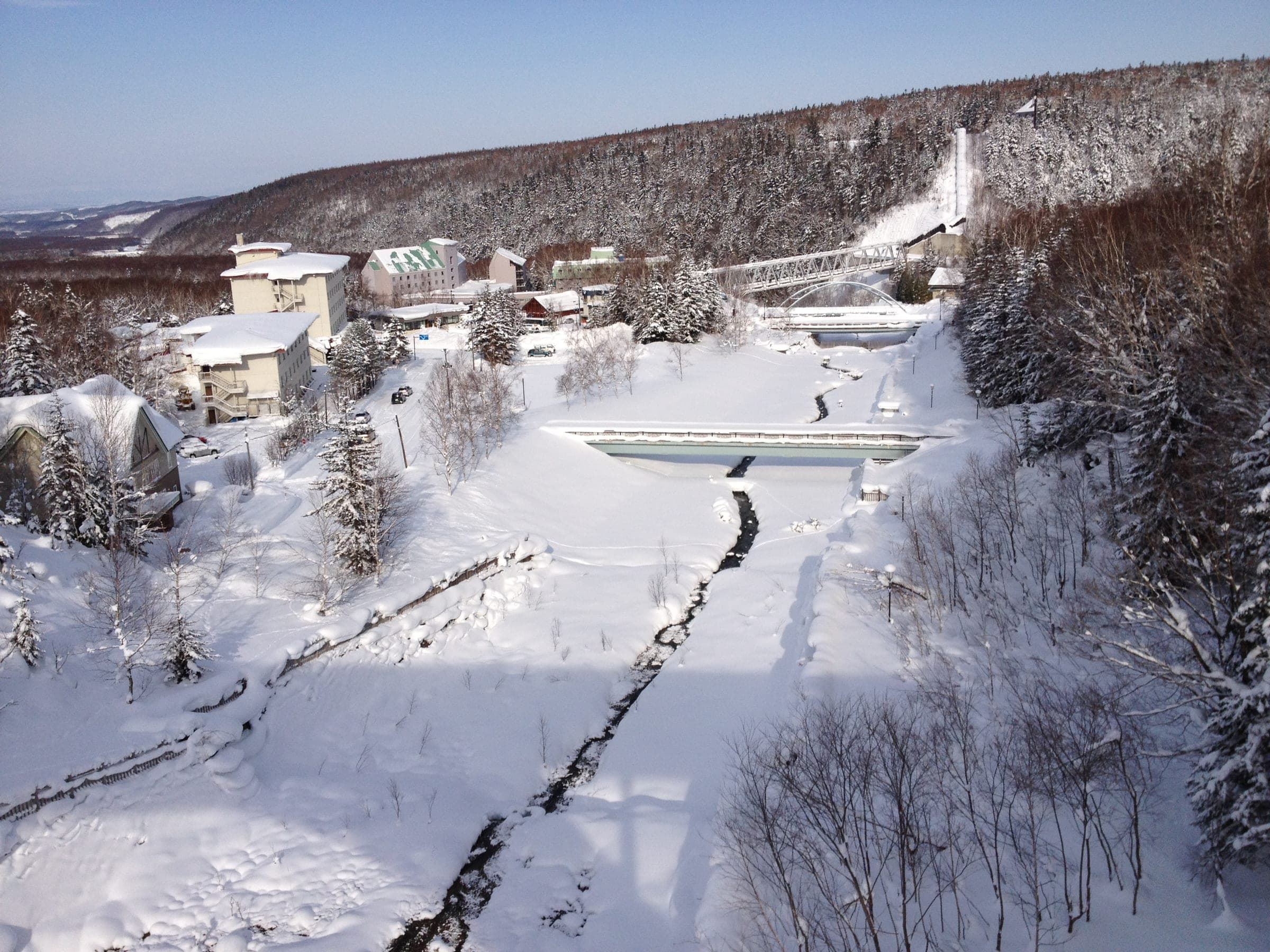
The Tokachi range runs south from the Daisetsuzan plateau as a chain of volcanoes, and Tokachidake at 2,077 m is the one that still smokes. The touring sits in a horseshoe of peaks above two onsen. Hakuginso is a public bathhouse and bunkhouse at 1,020 m, and the Sandan-yama route starts on the bed of an old ski hill right behind it. Ryounkaku at Tokachidake Onsen sits higher, about 1,260 m, with a public car park that fills by nine on weekends.
Sandan-yama takes its name from its steps. The summer trail climbs 730 m to the 1,748 m top in about three hours, and from 1,500 m the Higashi-no-tani gully drops 150 m of steep, half-pipe walls before you rejoin the uptrack. Maetokachi's Kabawara ridge climbs 770 m through scorched stumps and scrub pine, and its top section needs the deep, settled snow of March. From Tokachidake Onsen, the Kamihoro valley and the steaming gully of Ansei crater hold short protected bowls you can lap after a few calm days of snow.
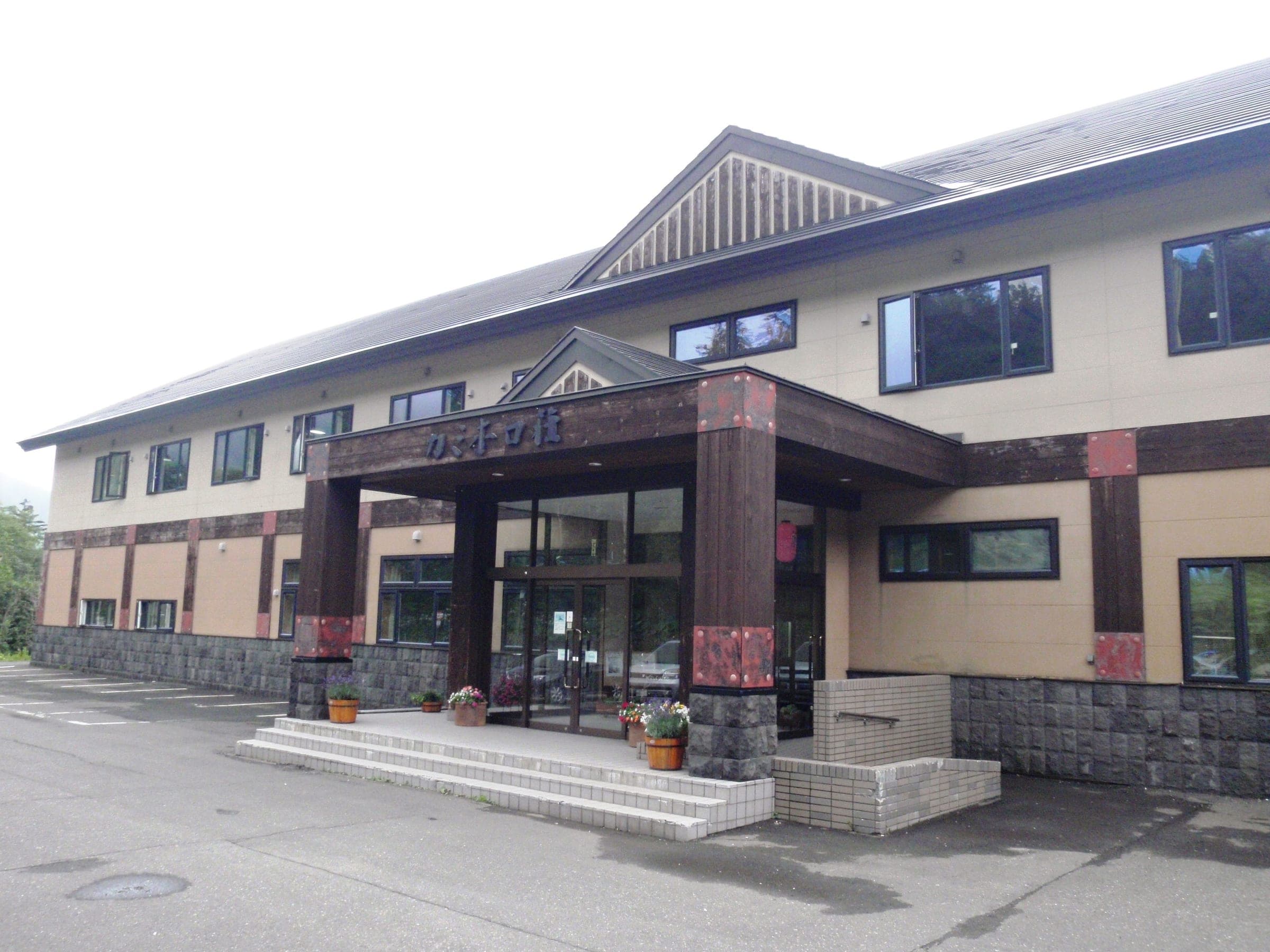
As of October 2026 none of that is open. The Japan Meteorological Agency raised Tokachidake to Level 3 on 12 September after a run of large volcanic earthquakes that began in mid-August, and it warns of ballistic rocks within about 3 km of the crater. Kamifurano responded by banning all climbing from the Tokachidake Onsen and Fukiage trailheads and closing Hakuginso and the Fukiage bath. Ryounkaku and Kamihoroso stay open for guests. This range has closed terrain before, and the 1989 eruption ended the ski lifts that once climbed toward the Maetokachi hut. Check the JMA bulletin and the town's notices before you plan anything for 2026/27.
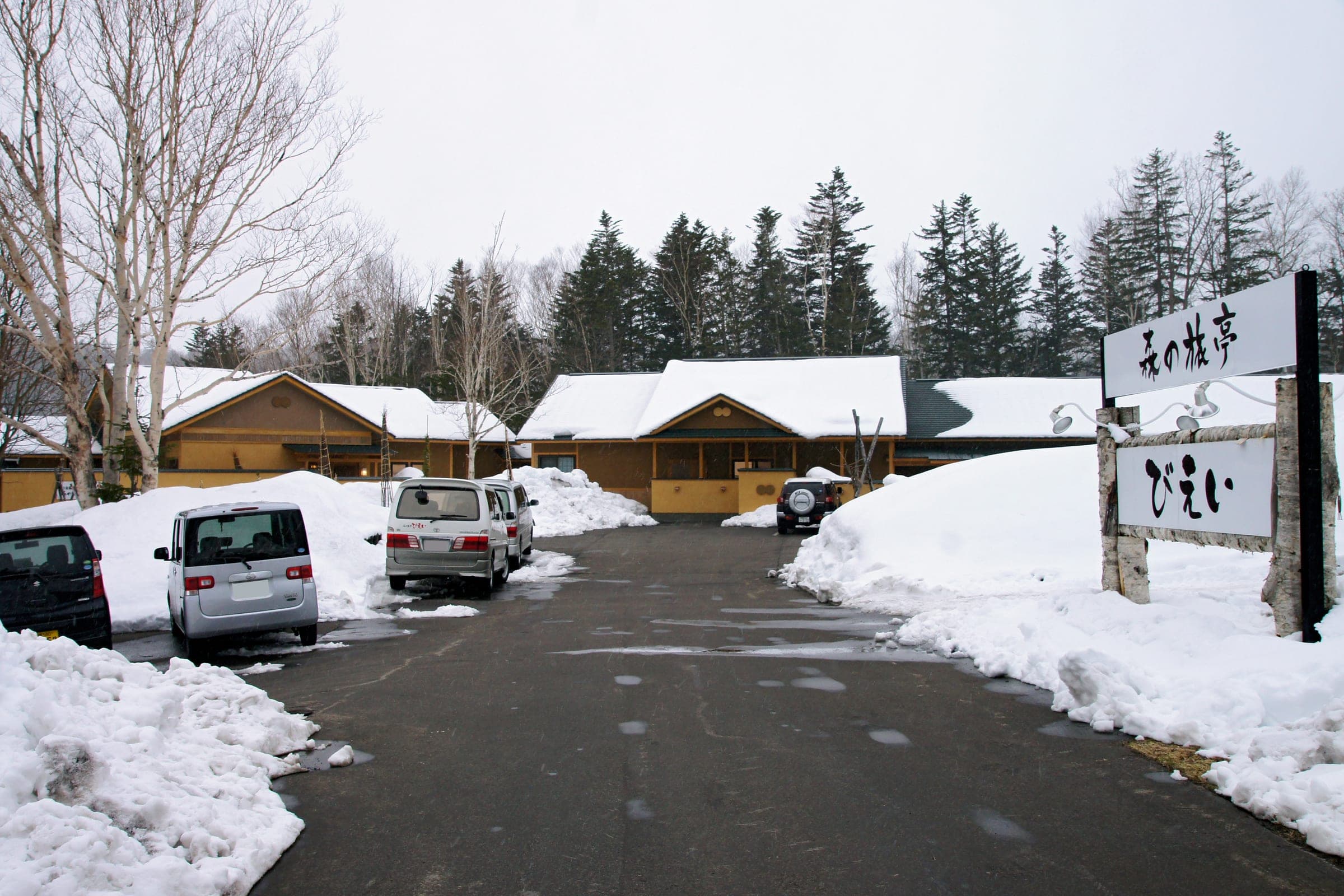
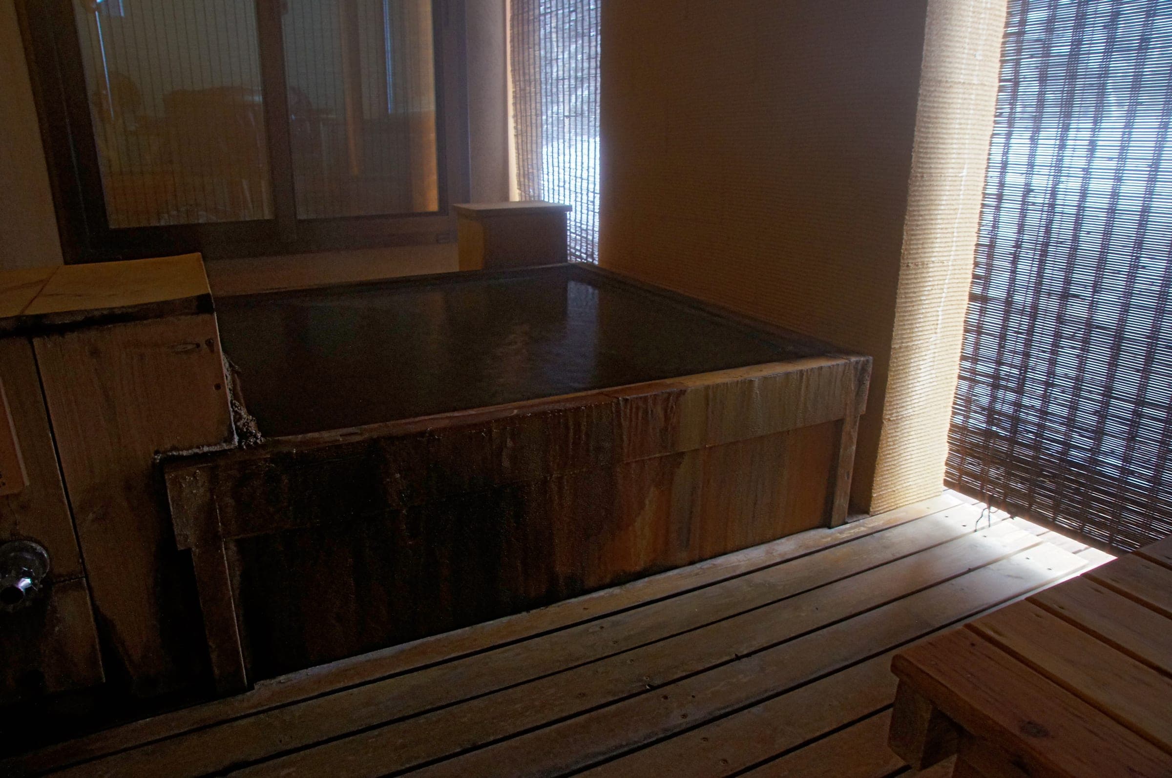
When the range reopens, the paperwork is simple. Notify police of your plan, online through Compass or on paper, and write your party into the national forest entry log at the trailhead box. The town bus from JR Kami-Furano Station runs up three times a day for about ¥500. Hakuginso's winter bunks cost about ¥3,250 when it's open, and its outdoor baths are the largest in the area.
Quick answers about Tokachidake & Sandan-yamaよくある質問
How long is a tour on Tokachidake & Sandan-yama?
A typical tour on Tokachidake & Sandan-yama climbs 500–770 m typical tours and takes 3.5–4.5 hours.
When can you ski tour Tokachidake & Sandan-yama?
The touring season on Tokachidake & Sandan-yama runs december to May; best January to March, with Maetokachi's upper slopes best from mid-February.
Do you need a guide for Tokachidake & Sandan-yama?
We recommend a certified guide for Tokachidake & Sandan-yama unless your group can read the snowpack and run its own rescue.
Where do you check avalanche danger for Tokachidake & Sandan-yama?
Read the day's bulletin from Japan Avalanche Network (https://nadare.jp/) before every tour on Tokachidake & Sandan-yama.
Within 30 km
Hot springs nearby温泉
Within 40 km
Ski resorts nearby山
Within 80 km
Backcountry zones nearby山スキー
Within 35 km
Places to stay nearby宿

Within 35 km