Daisetsuzan Asahidake Ropeway
大雪山旭岳ロープウェイ43°39′ N 142°48′ Eropeway
A hundred-person tram lifts you to 1,600 m on the flank of Hokkaido's highest volcano, and the gladed bowls on either side of the line hold some of the coldest powder on the island.
Photo Perfect Zero · Flickr · CC BY 2.0 and others, credited in the gallery
- Beginner0.1 km
- Intermediate3.5 km
- Advanced2.9 km
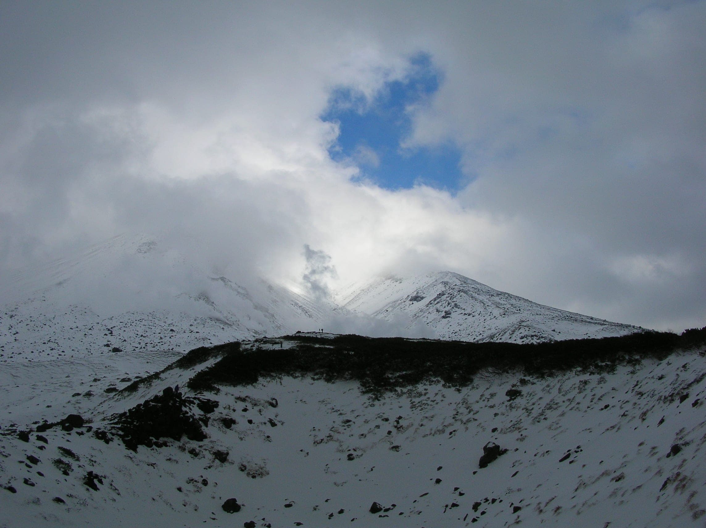
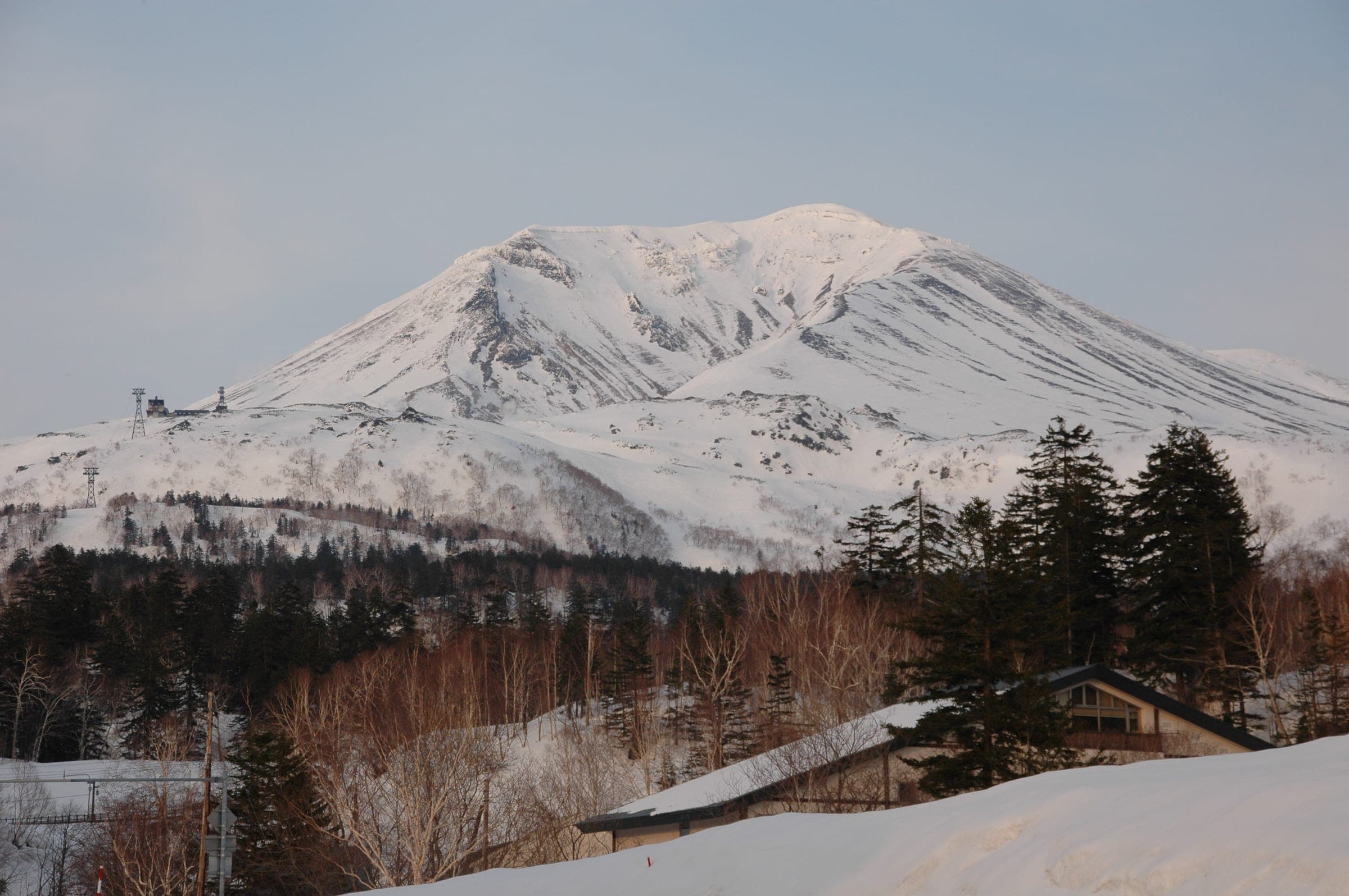
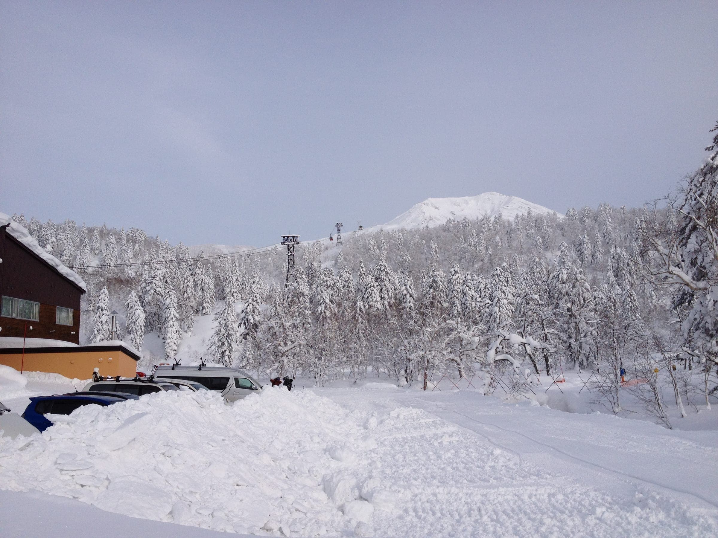
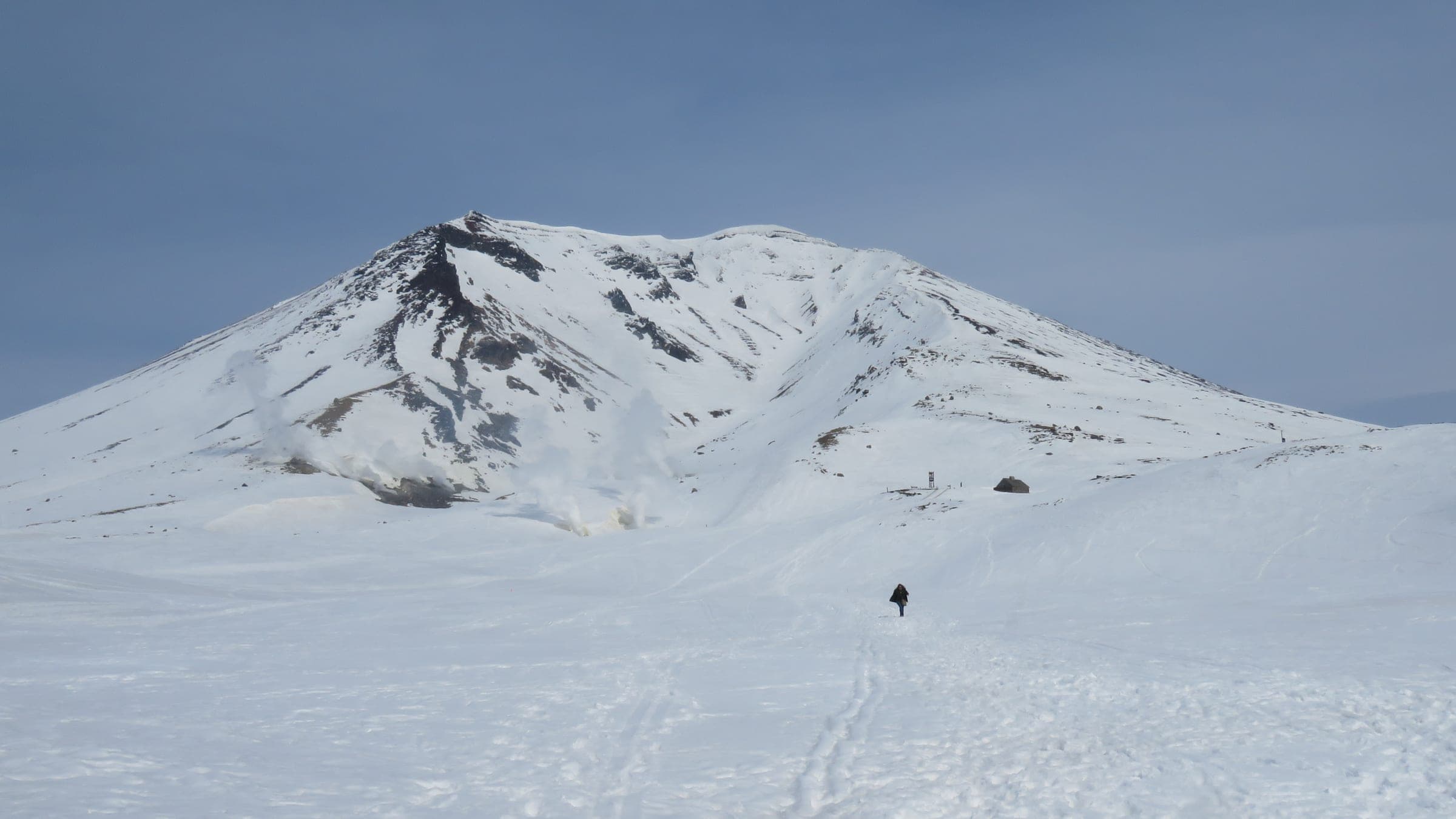
Asahidake is the high point of Hokkaido at 2,291 m, and it still steams. The ropeway leaves Asahidake Onsen at about 1,100 m and climbs to Sugatami Station on the edge of the plateau in ten minutes. From the top you can watch the Jigoku-dani fumaroles venting a few hundred metres to the east while you strap in.
Calling it a ski area is generous. Courses A to D are narrow cat tracks that wind back through the birch and fir to the base, and they exist mostly to get you home. The skiing is in the glades between them. Tennyo and Ura-ten fall away to skier's right of the ropeway line, and Ohiroma and Bannosawa open up to skier's left. On a cold morning after a storm the snow in all of them is as light as anything in Japan.
How it rides
- Powder
- 5 out of 5
- Trees
- 3 out of 5
- Steeps
- 3 out of 5
- Sidecountry
- 5 out of 5
- Park
- 1 out of 5
- Beginners
- 1 out of 5
- Family
- 1 out of 5
- Quiet
- 4 out of 5
- Value
- 4 out of 5
- Après
- 2 out of 5
The weather here is the harshest in Hokkaido's mountains, and it turns in minutes. Higashikawa town prints a Winter Survival Guide Map for the ropeway, and two of its warnings are in red capitals. One says that if you head north off the plateau you will not get back. The other marks the slopes south of the summit, where people go missing often. Windchill can drop below minus 20, and nobody patrols any of it.
Midwinter cars run every 20 minutes from 09:00, with the last one down at 15:40, and a return ride costs ¥2,800 in cash. The Ideyu-go bus comes up from Asahikawa Station by way of the airport, and the drive from Asahikawa takes about an hour. The village at the bottom is a handful of lodges and hotels with onsen. Staying there puts you on the 09:00 car without the hour-long drive.
Fly the mountain in 3D立体地図
Every run at Daisetsuzan Asahidake Ropewayコース
| Avg | Faces | Map | |||||
|---|---|---|---|---|---|---|---|
| CコースCNotes | 2,306 m | 289 m | 13.2° | 7.1° | SW | ||
| BコースBNotes | 1,148 m | 201 m | 20° | 9.9° | W | ||
| AコースANotes | 1,267 m | 301 m | 23.1° | 13.4° | SW | ||
| DコースDNotes | 1,634 m | 289 m | 22.9° | 10° | W |
Lengths, vertical, pitch and aspect are computed from OpenStreetMap run lines and 30 m elevation data. Steepest is the hardest 60 m pitch. Treat them as a guide and trust the signs on the hill.
Peaks, gates and named areas
Know the zones before you goエリア
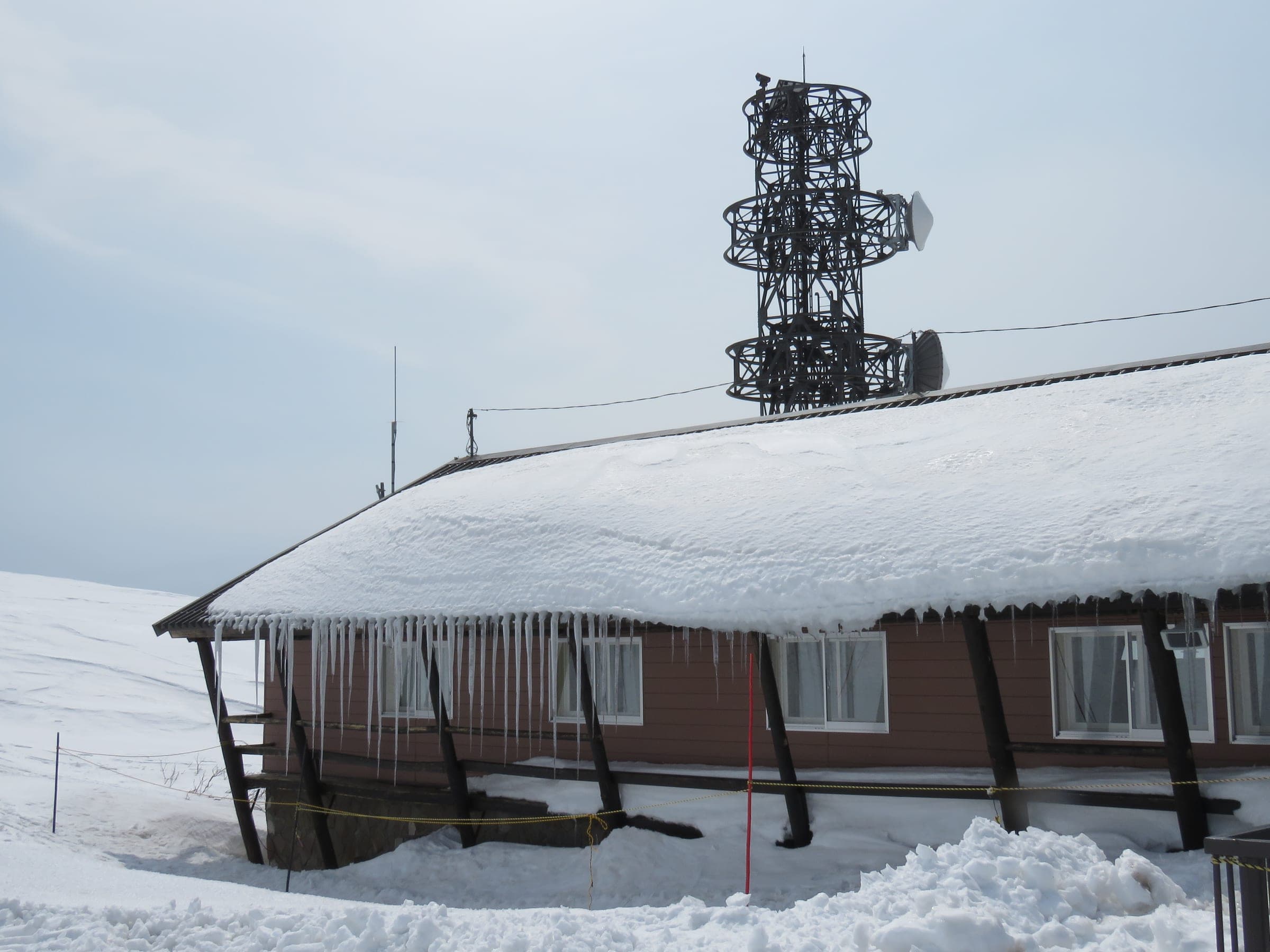
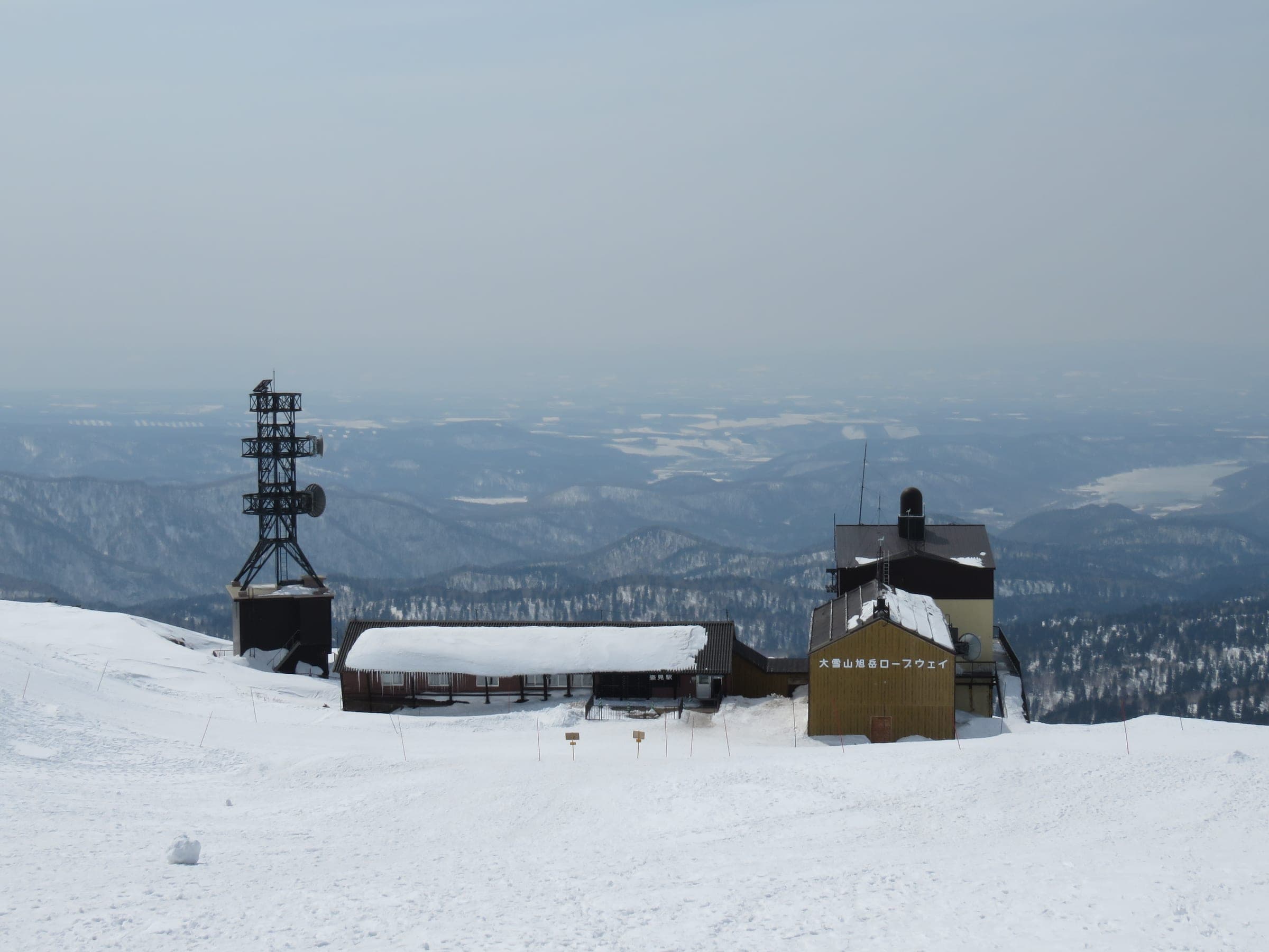
Sugatami Station姿見駅
lift
The ropeway's top station sits at 1,600 m on the edge of the treeless plateau. Above it the snow is wind-packed hard and the plateau takes the full force of the weather.
Good for plateau access, steam vents
Tennyo天女
zoneAdvanced
These glades fall away just below Sugatami on skier's right of the ropeway line. They return to the cat-track courses for the ride home.
Good for gladed powder, ropeway laps
Ura-tenウラ天
zoneAdvanced
These slopes lie behind Tennyo and farther to skier's right. The town map's do-not-go-north warning sits just beyond them, so don't let the fall line pull you toward Hisago Marsh.
Good for quieter laps, tree powder
Ohiroma大広間
zoneAdvanced
This broad slope sits on skier's left of the ropeway between Course C and Bannosawa. The name means great hall.
Good for wide open glades, storm days
Bannosawa盤の沢
zoneExpert
This drainage on skier's left of the ropeway holds three marked lines numbered B1 to B3. The town map flags it as an avalanche danger zone.
Good for steep gully lines, stable days
Ura-banウラ盤
zoneExpert
These slopes lie beyond Bannosawa and farther from the ropeway. Also flagged for avalanche danger on the town map.
Good for long descents, low-danger days
Jigoku-dani地獄谷
zone
This fumarole field east of Sugatami is a short tour past the Asahidake stone hut. Keep clear of the vents and the gas around them.
Good for sightseeing, steam-vent tour
Beyond the ropes · open
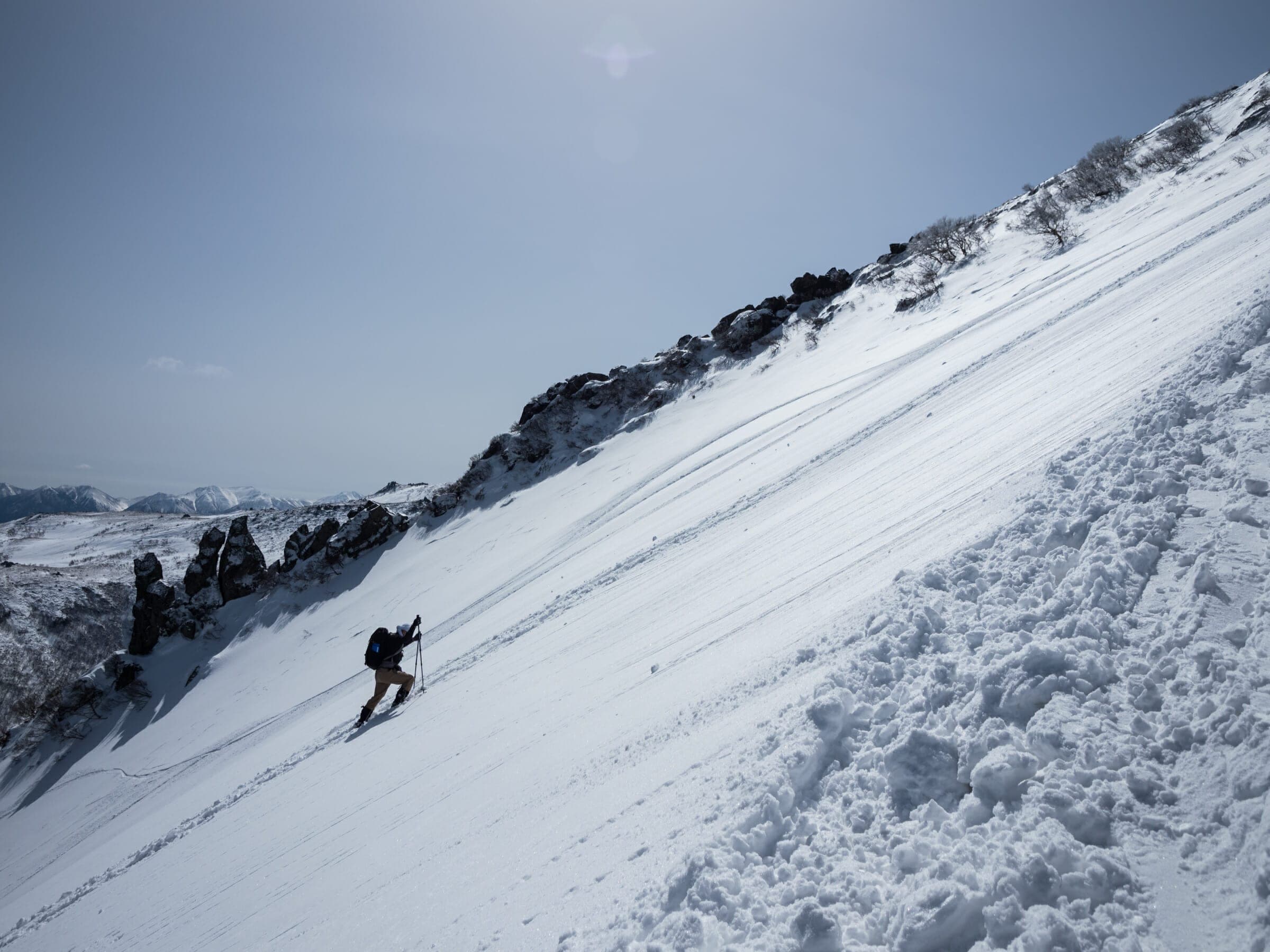
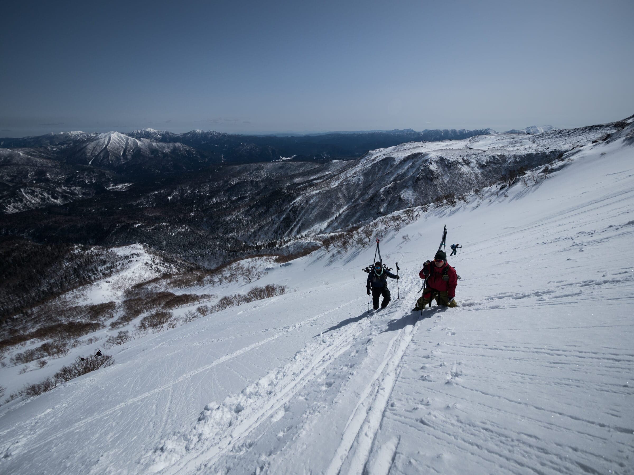
Nothing up here is patrolled or avalanche controlled, and once you leave the cat-track courses you are in Daisetsuzan National Park terrain that is open to anyone who files a plan and carries the kit.
- File a climbing plan with police before you go, online through Compass or on paper
- Carry beacon, shovel, probe, skins or snowshoes, warm layers and a charged phone with an offline map; Higashikawa's Winter Survival Guide Map lists these
- Do not head north toward Hisago Marsh; the town's map warns you will not be able to get back
- Do not descend south from the summit near Kinko-iwa, where parties go missing often; descend to the west
- Bannosawa and Ura-ban are marked as avalanche danger zones
- In an emergency call 110
Check the daily avalanche report before you leave the resort. Carry a beacon, shovel and probe and know how to use them.
Worth knowing before you go
Load an offline map and turn on location services while you wait in the ropeway queue; the town's survival map suggests exactly that.
Bring cash for the ropeway, as the operator doesn't take credit cards.
Check the operating calendar before you drive up; the ropeway shut for maintenance on 11–13 March and 14–22 May in 2026.
Save the summit and the plateau for spring, when the days are long and the weather settles.
Book a guide who knows Daisetsuzan for your first day; Whiteroom Tours runs Asahidake for advanced riders only.
1 mapped lifts
The liftsリフト
Getting thereアクセス
From Sapporo
- Train
- JR to Asahikawa, then the Ideyu-go bus
The Ideyu-go bus runs from JR Asahikawa Station by way of Asahikawa Airport and Higashikawa, about 1 hr 40 min and around four times a day; published one-way fares range from ¥1,430 to ¥1,800, so check with Asahikawa Denki Kido. About an hour by car from Asahikawa. Parking at the ropeway is free from November to May.
Paid links
Line up the trip around Daisetsuzan Asahidake Ropeway
Some of these links pay us a commission. It costs you nothing and keeps the guide independent. How the links work
Where to stay nearby宿
Soak after温泉
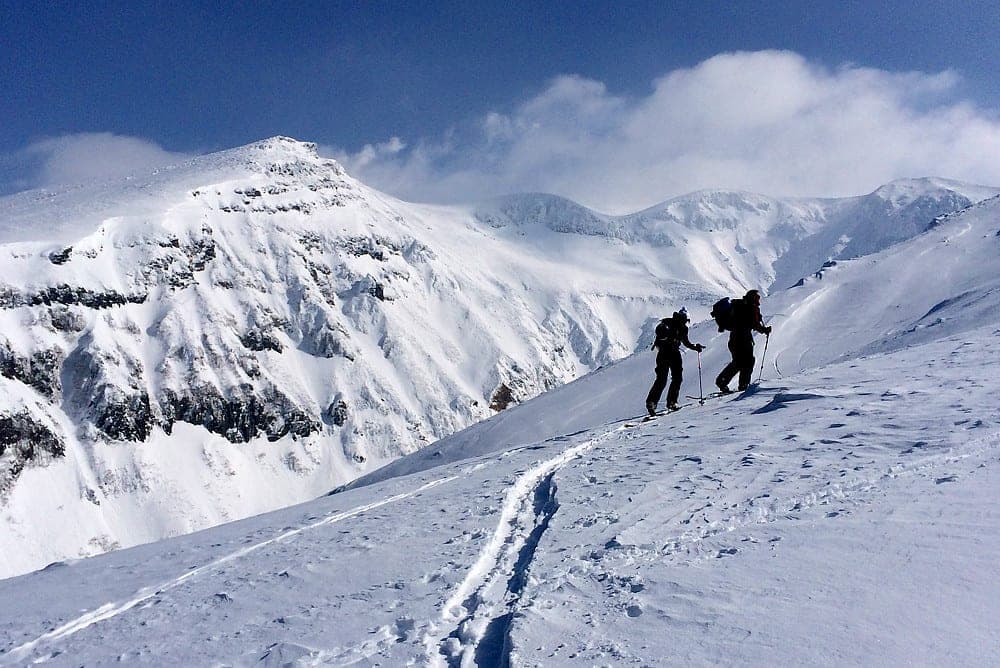
Touring close by山スキー
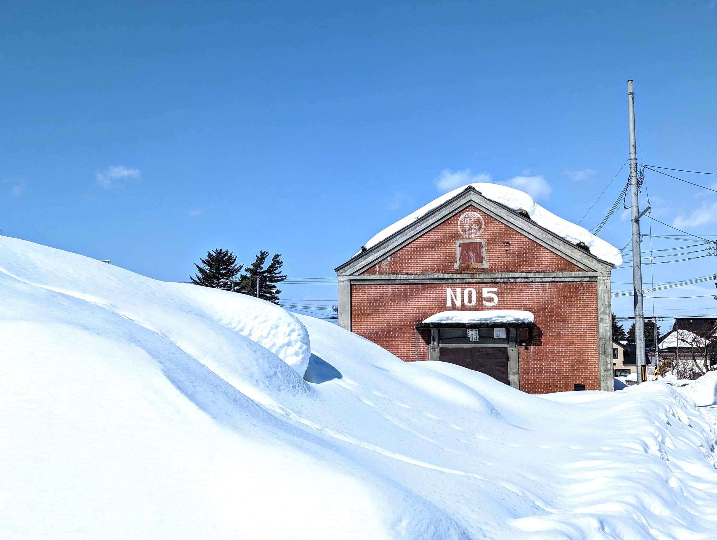
Towns to base in町


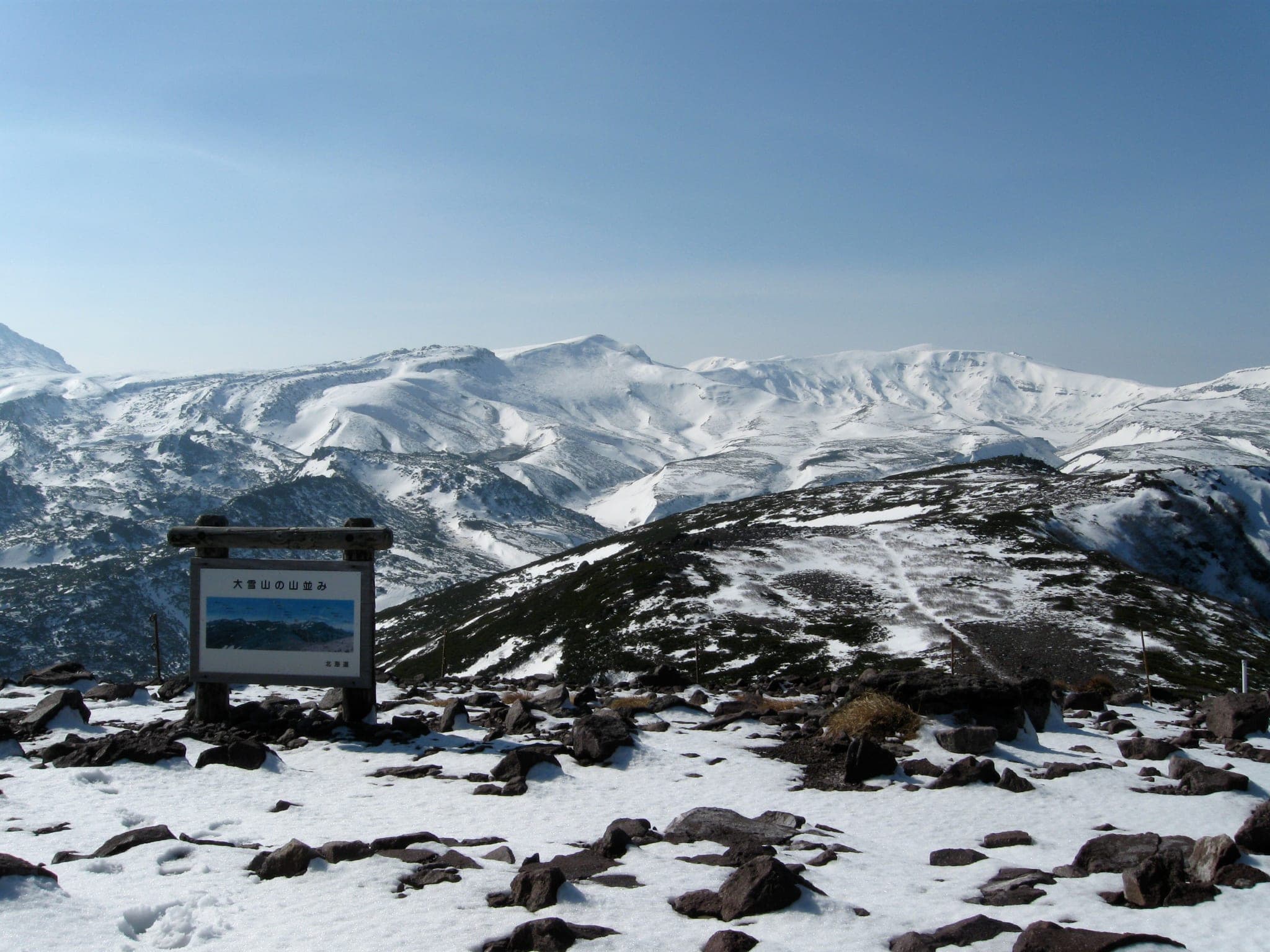
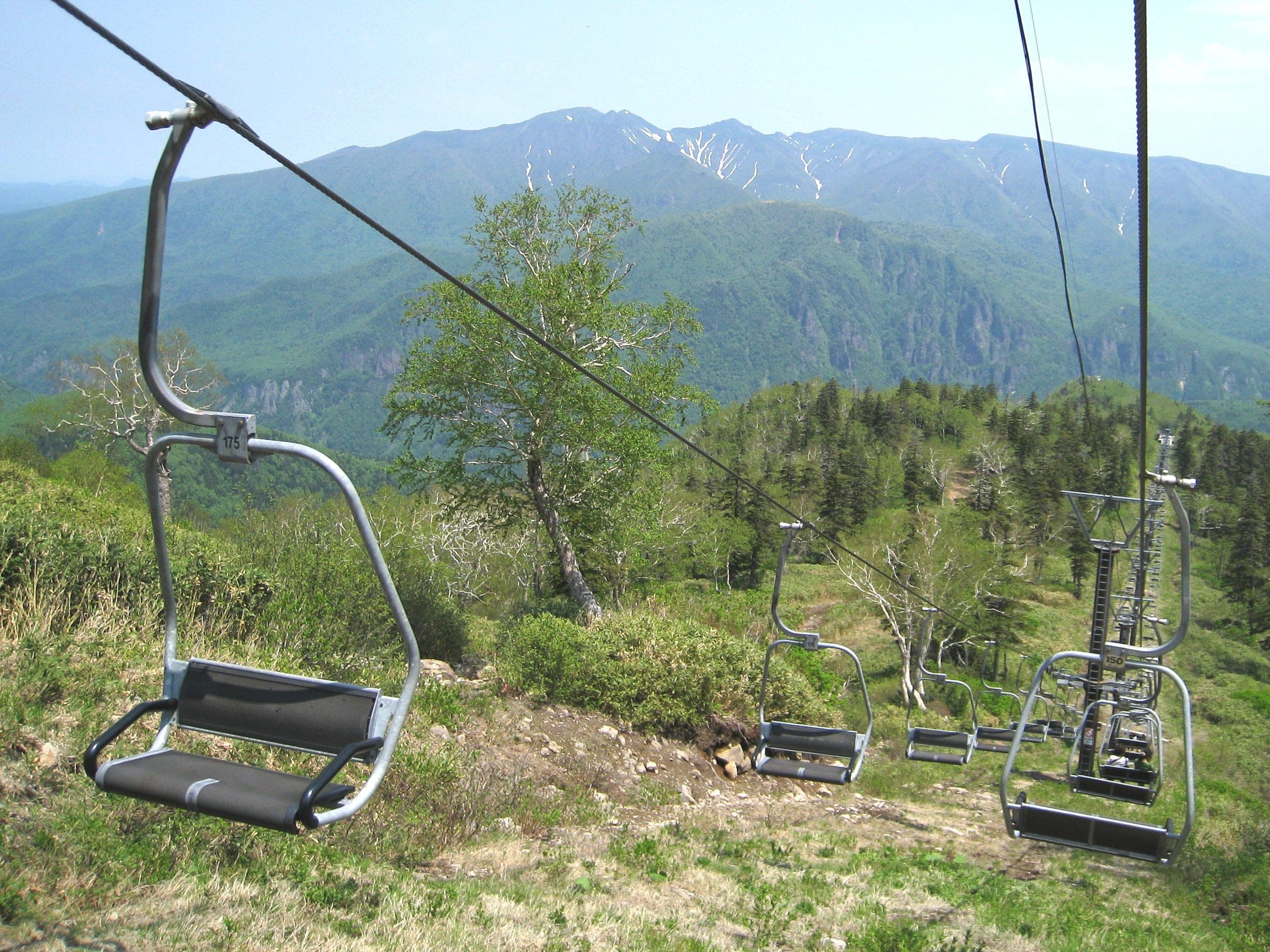
Ride these on the same trip近くの山
Quick answers about Daisetsuzan Asahidake Ropewayよくある質問
How big is Daisetsuzan Asahidake Ropeway?
Daisetsuzan Asahidake Ropeway has 4 runs and 1 lifts over 500 m of vertical, from 1,100 m at the base to 1,600 m at the top. OpenStreetMap maps 6.5 km of piste there.
How steep is Daisetsuzan Asahidake Ropeway?
The steepest mapped pitch at Daisetsuzan Asahidake Ropeway is about 23.1° over 60 m. We measure it from OpenStreetMap's run lines and the elevation model. Its advanced and expert runs add up to 2.9 km of the mapped total.
Can you ride off-piste at Daisetsuzan Asahidake Ropeway?
Nothing up here is patrolled or avalanche controlled, and once you leave the cat-track courses you are in Daisetsuzan National Park terrain that is open to anyone who files a plan and carries the kit.
Does Daisetsuzan Asahidake Ropeway have night riding?
No. Daisetsuzan Asahidake Ropeway closes its lifts at dusk.
When is the season at Daisetsuzan Asahidake Ropeway?
Daisetsuzan Asahidake Ropeway usually opens mid-December, when the ropeway reopens on 11 December after its autumn maintenance break and closes early May for skiing; the ropeway runs year-round apart from maintenance closures. The deepest, most reliable snow comes january to February for powder; March to May for summit and plateau tours.