Feature · 6 min read
Which route up Mt Yotei should you ride first?
Mt Yotei carries ski routes on almost every side of its 1,898 m cone, and nobody patrols or controls any of them. We worked through the Hokkaido Wilds tracks, trip reports and police records to find where a first visit should start.
By Adam BognarPublished
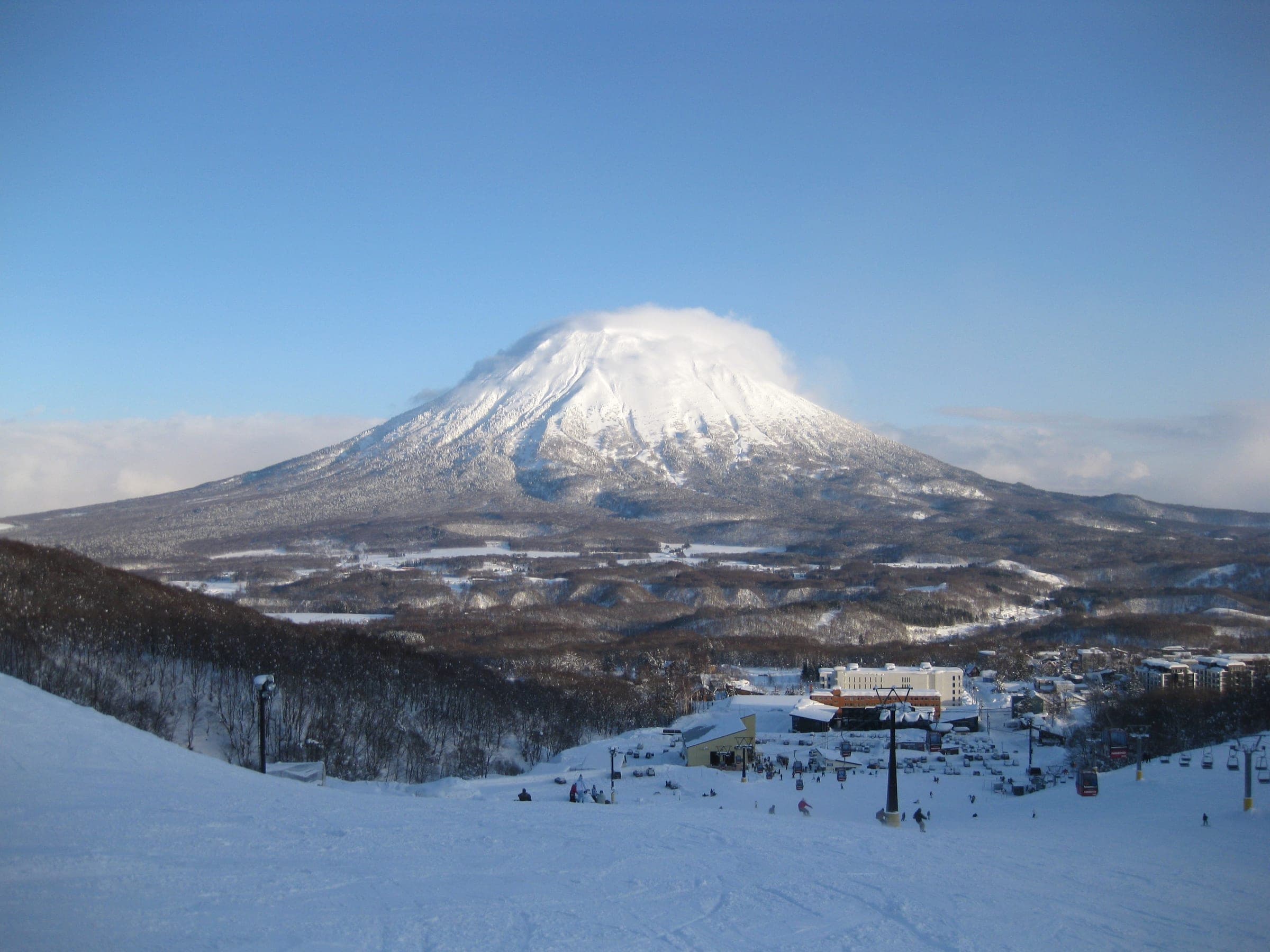
Ride the Makkari route to the 1000 m Terrace first, with a certified guide, and keep the summit and crater for a settled day between mid-March and early May. Mt Yotei has no avalanche control, no marked winter routes and no patrol anywhere on the mountain, so the forecast and the person leading you decide the day.
Yotei stands alone between Niseko and Rusutsu, and its 1,898 m summit has a prominence of 1,878 m. On a clear morning you see it from every chair in the valley. Most of the good riding sits below about 1,300 m in old forest and open terraces, and above that line wind slab and rime take over for much of the winter. Every route below starts from a road or a plowed lot at the foot of the cone.
| Route | Side | Published climb, distance, time | Our GPS-track figures | What to watch |
|---|---|---|---|---|
| Makkari | South | 1,000 m, 9.5 km, about 5 hr to about 1,300 m | 9.4 km, 1,530 m climbing, top 1,820 m | Cornices at 1,100–1,200 m |
| Jinja-no-sawa | South | 1,050 m | 11.1 km, 1,530 m, top 1,818 m | Remote-triggered cornices in spring |
| Makkimo | Southeast | 960 m, 8 km, about 5 hr | 10.3 km, 1,490 m, top 1,867 m | Car park holds 15–20 cars |
| Kimobetsu | East-southeast | 1,000 m | 9.7 km, 1,540 m, top 1,864 m | Gullies on both sides |
| Kyogoku | Northeast | 1,000 m | 7.5 km one way, 1,440 m, top 1,867 m | Needs a deep base |
| Hirafu (Kutchan) | West | 1,550 m, 12 km, about 9 hr | 11.7 km, 1,530 m, top 1,823 m | Full northwest wind |
| 148 Gully | North | 1,580 m, 13 km | 13.1 km, 1,710 m, top 1,892 m | One long terrain trap |
Published figures come from the Hokkaido Wilds route guides. Our figures are computed from the unsimplified Hokkaido Wilds GPS tracks, counting each climb of 10 m or more after a five-point median filter. Most of those tracks ran up to the rim, which is why our climbing totals sit well above the treeline numbers the guides publish for a normal day.
Where should a first day on Yotei start?
Start at Makkari. The big plowed car park at Yotei Nature Park takes plenty of cars, and Hokkaido Wilds tells you to park as far up the clearing as the plowing allows and skin the last 600 m of road to the trailhead sign. From there the route climbs south-facing forest to the 1000 m Terrace, an old-growth plateau under the cone that serves as the main ski zone on this side.
Know where the Terrace ends. The slope above it is steep and prone to avalanches, and Hokkaido Wilds calls it unsuitable for skiing. Big cornices build between 1,100 and 1,200 m on the ridges overhead, and the snow goes bad from around 1,300 m, where crampons often come out. Hokkaido Wilds rates the whole route 6 out of 10. In a thin January 2020 its party found the existing skin track very steep in places. On the way down, stay on the main bowl, because riders who drop too far off it face a long traverse back to the car.
Which other south and east routes are worth it?
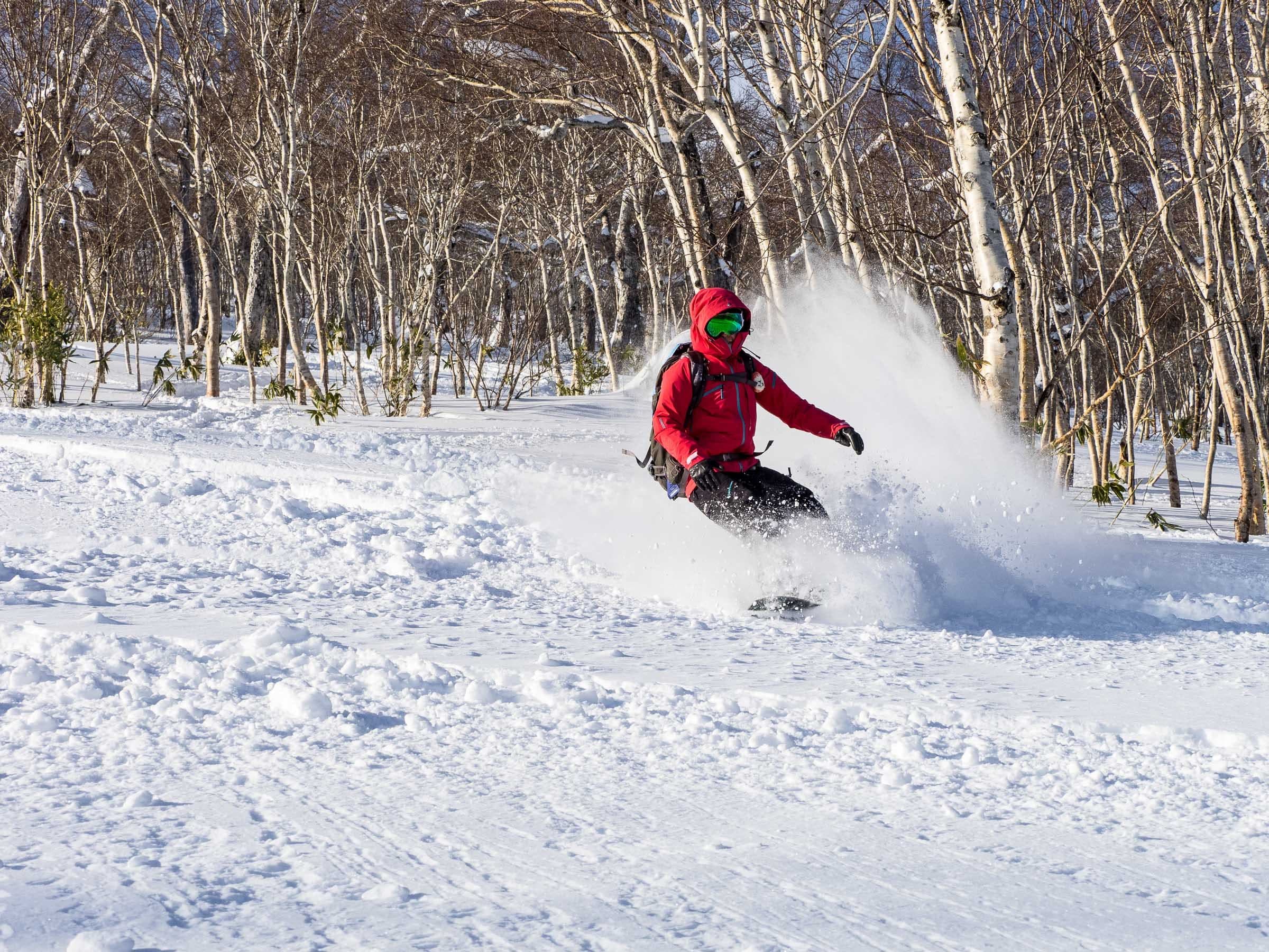
Jinja-no-sawa leaves from the big water tank by the Makkari cemetery with about a kilometre of flat travel, and the climbing starts at a check dam near 450 m. It leads to the Delta Slope, a south-facing fan that holds about 30 degrees between 600 and 1,250 m. Splitboarders will want ski mode for the flat exit. Signs ban parking by the water tank from 05:00 to 08:00 so the plow can turn, and the cornices on the looker's-left ridge can release remotely once spring warms them.
Kimobetsu climbs a broad, even slope from 800 to 1,400 m between gullies that run like couloirs on both sides. After about 50 cm of new snow on 29 December 2019 a long line of cars filled the roadside there, and the Hokkaido Wilds party shovelled for ten minutes to make a space. Makkimo starts from a public car park on Route 97 about 30 minutes from Hirafu.
Leave Kyogoku on the northeast side until February. In the low-snow New Year week of 2019/20 it turned into a bush-bash through sapling birch.
When is the summit and crater worth trying?
Try the summit in spring. Guides favour mid-March to early May for the long days and steadier snow, and a round trip takes about eight hours before half an hour of skiing in the crater. The crater measures about 700 m across, and its skiable interior drops about 150 m on the western and northern sides because the east and south rims are cliffs. A guided party in January 2022 planned four to five hours up the Makkari side to the rim and took six.
The Hirafu route on the west face is the long way up past the refuge hut near 1,700 m. On a spring trip the face stayed concrete until mid-morning, the party fitted ski crampons at about 1,200 m, and a ski that came off at 1,300 m slid about 200 m before softer snow stopped it. The 148 Gully on the north face drops 1,300 m from the rim in a single terrain trap, and its author stresses how hard a rescue would be in there. Roadside parking is illegal at its start, so the weekday school bus from JR Kutchan to Sansen-kado is the way in.
Hokkaido Backcountry Club listed private summit tours at ¥368,000 for up to ten riders in October 2026, with a guide for every five and a warning that the skin up takes five to eight hours.

What has gone wrong on Yotei?
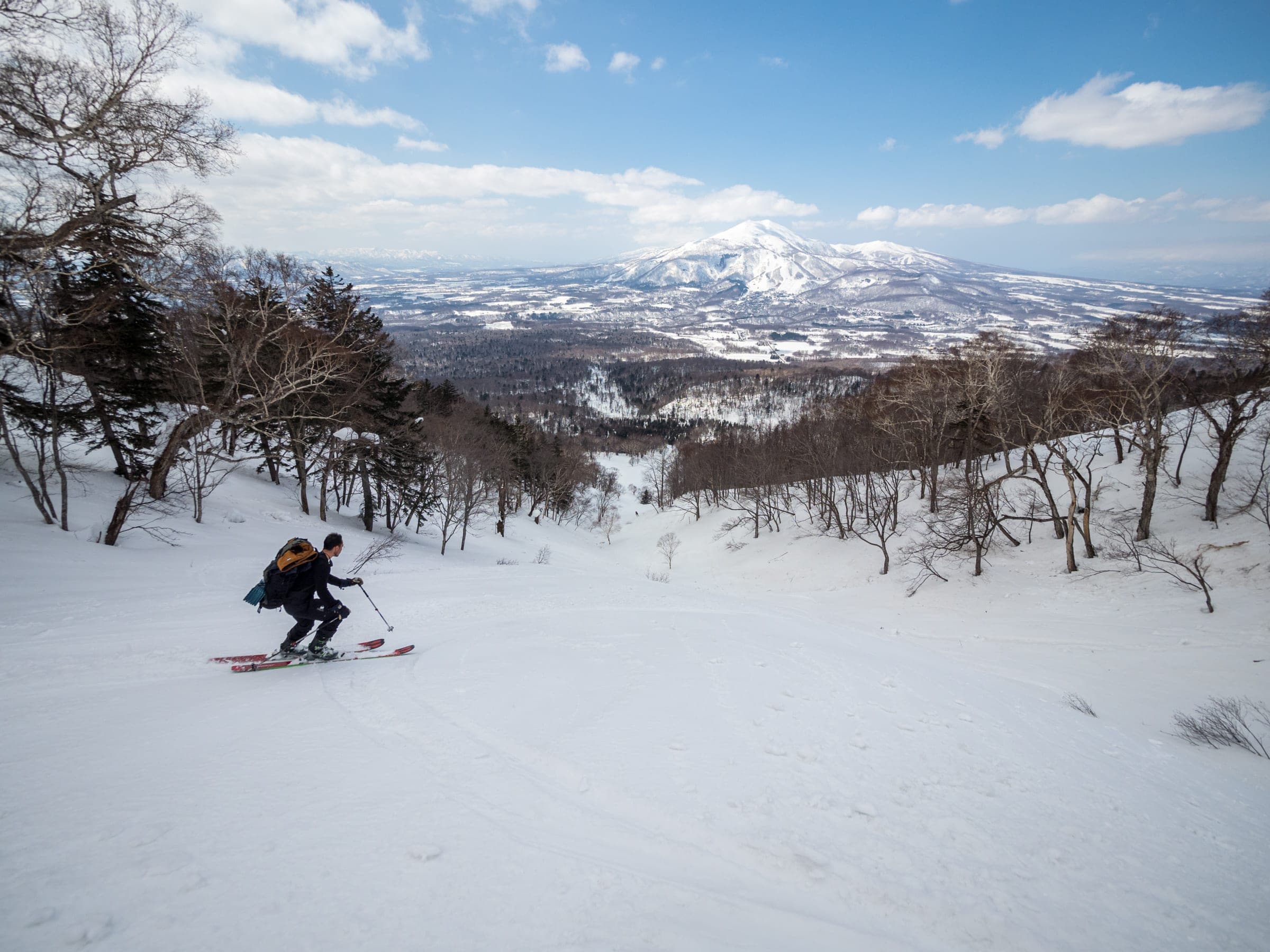
Avalanches killed skiers on Yotei in both 2023 and 2024. In January 2023 a member of a ten-person tour died after a slide near the sixth station of the Hirafu route, and the police record shows a helicopter flying the party off. On 11 March 2024 an avalanche on a north-facing slope near 700 m on the Kutchan side caught three of a group of six, and two New Zealanders died. Reports that day described weather warmer than usual. That slope sat at 700 m, far below the cone, so give the forest band the attention you would give the rime above it.
Navigation causes much of the other trouble. In cloud the faces of the cone look alike, and a descent that drifts one gully over can finish a long way from the car.

What do you need before you go?
Backcountry riding on Yotei needs avalanche training, a beacon, a shovel and a probe for every rider, and anyone new to the mountain should go with a certified guide. Hokkaido Backcountry Club, Black Diamond Tours, Rising Sun Guides and Whiteroom Tours all guide on the Niseko side.
Read the Japan Avalanche Network bulletin for Niseko and Yotei before every trip. Its last 2025/26 bulletin came out on 1 April 2026, so a late-season summit day runs on your own snow assessment. File a climbing plan with police through Compass.
Afterwards, Makkari Onsen puts Yotei square in front of its outdoor tub, though the village has closed it for renovation from 2 November to 21 December 2026. On the northeast side, Kyogoku Onsen expects to reopen in early December 2026. Kutchan is the nearest town with a station and supermarkets, and Grand Hirafu and Rusutsu fill the storm days when the cone is out of the question.
How we researched this
We compiled this from the Hokkaido Wilds route guides and trip reports, Hokkaido Police search and rescue records, news reports and operator pages, checked in October 2026. Track figures are computed by Ride Hokkaido from the Hokkaido Wilds GPS files. Nobody from Ride Hokkaido toured these routes for this piece.

Sources
- Hokkaido Wilds: Mt Yotei backcountry ski routes
- Hokkaido Wilds: Makkari route
- Hokkaido Wilds: Jinja-no-sawa route
- Hokkaido Wilds: Makkimo route
- Hokkaido Wilds: Kimobetsu route
- Hokkaido Wilds: Kyogoku route
- Hokkaido Wilds: Hirafu route
- Hokkaido Wilds: 148 Gully
- Hokkaido Wilds: A Mount Yotei south side success
- Hokkaido Police SAR record 2023-8-1 (via Hokkaido Wilds)
- Hokkaido Police SAR record 2024-39-3 (via Hokkaido Wilds)
- 1News: Two New Zealand skiers killed in avalanche
- Hokkaido Shimbun video report, March 2024
- Japan Avalanche Network: Niseko and Yotei
- Hokkaido Backcountry Club: Yotei summit tours
- Compass climbing plans

Quick answers
How long does it take to ski Mt Yotei?
A treeline tour on Mt Yotei's Makkari route takes about 5 hours for 9.5 km and 1,000 m of climbing to a turnaround near 1,300 m, by Hokkaido Wilds' published figures. A summit round trip takes about 8 hours, and skiing into the crater adds about 30 minutes.
When is the best time to ski the summit of Mt Yotei?
Mid-March to early May is the best window for the Mt Yotei summit, when guides favour the long days and more settled snow. Expect rime and ice above about 1,300 m and carry boot crampons and ski crampons.
Is Mt Yotei avalanche controlled or patrolled?
Mt Yotei has no avalanche control, no marked winter routes and no patrol on any side. Avalanches killed a skier on the Hirafu route in January 2023 and two New Zealanders on a north-facing slope near 700 m on the Kutchan side in March 2024.
Can you reach the Mt Yotei Makkari route by bus?
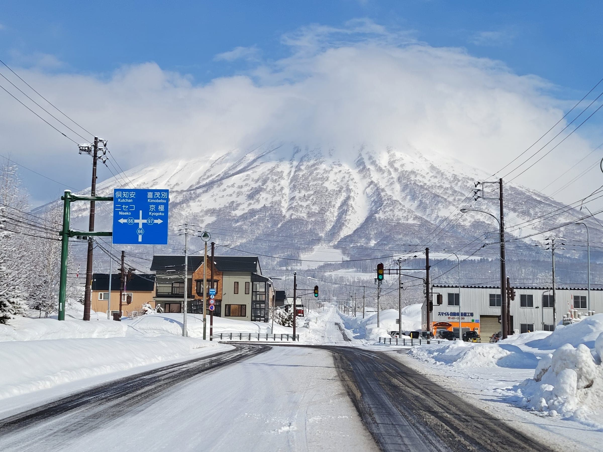
The Mt Yotei Makkari route is reachable on the Donan bus from JR Kutchan to the Yotei Shizen Koen Iriguchi stop, about 15 minutes' walk from the car park. Hokkaido Wilds gave the ride as about 30 minutes and ¥670 in December 2019, with buses about every two hours.
We write from operators’ and agencies’ own pages, open map data and published research, and we date every fact we check. How we research.