Mt. Yotei
羊蹄山42°50′ N 140°49′ Eadvanced1,898 mGuide recommended
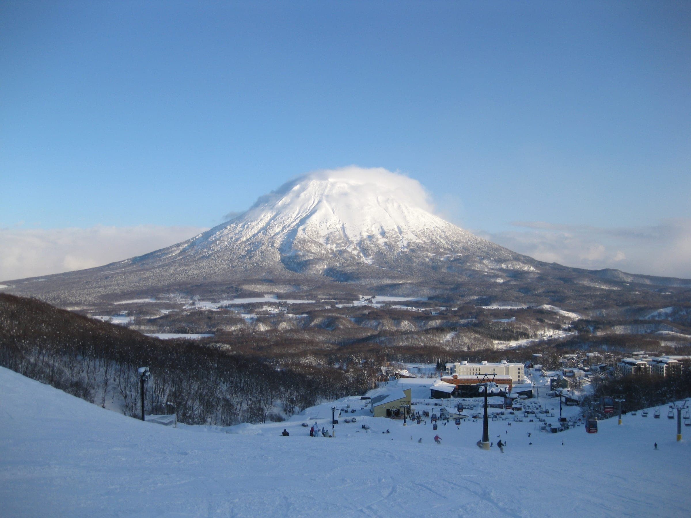
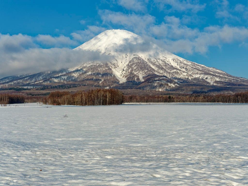
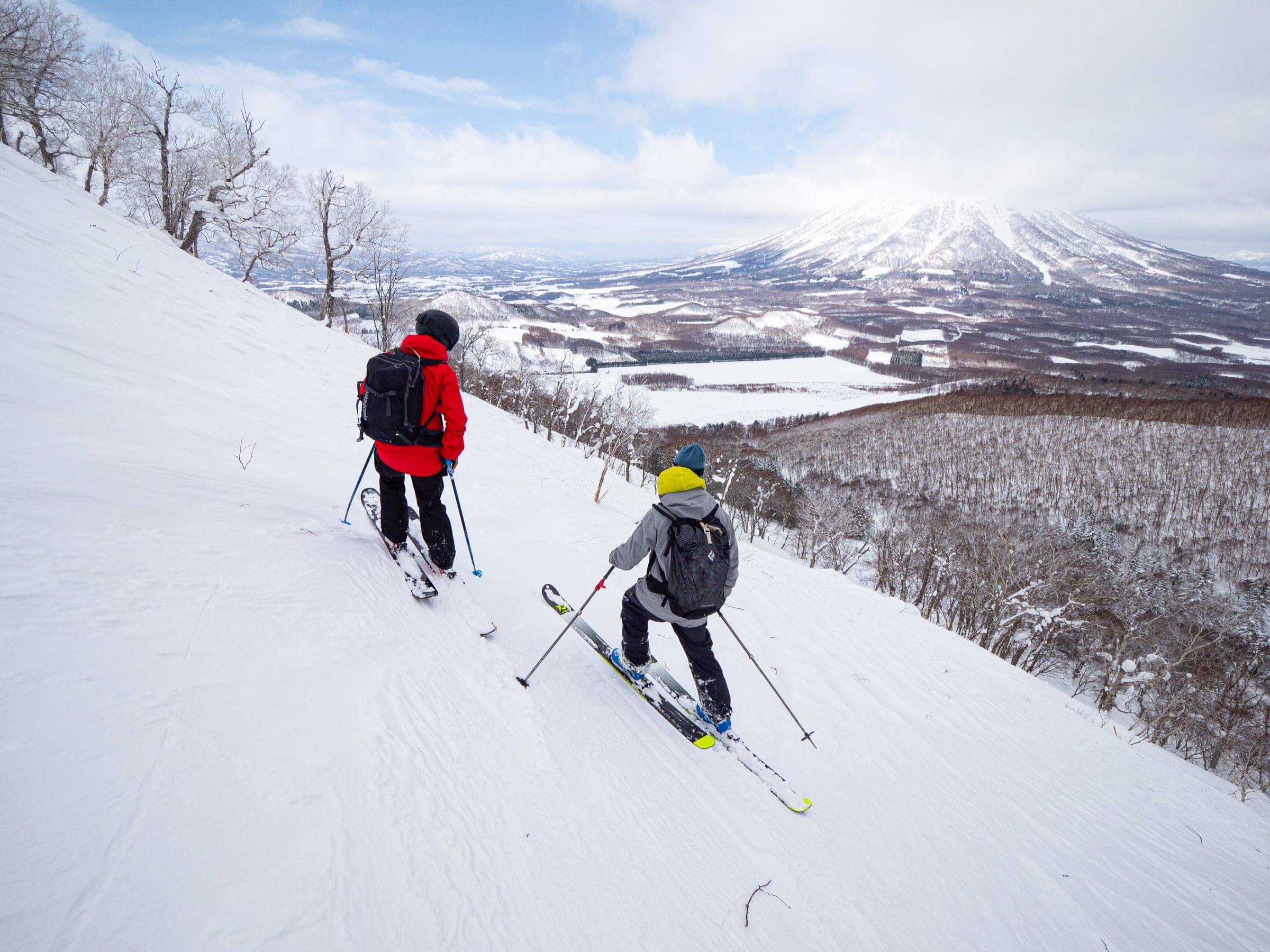
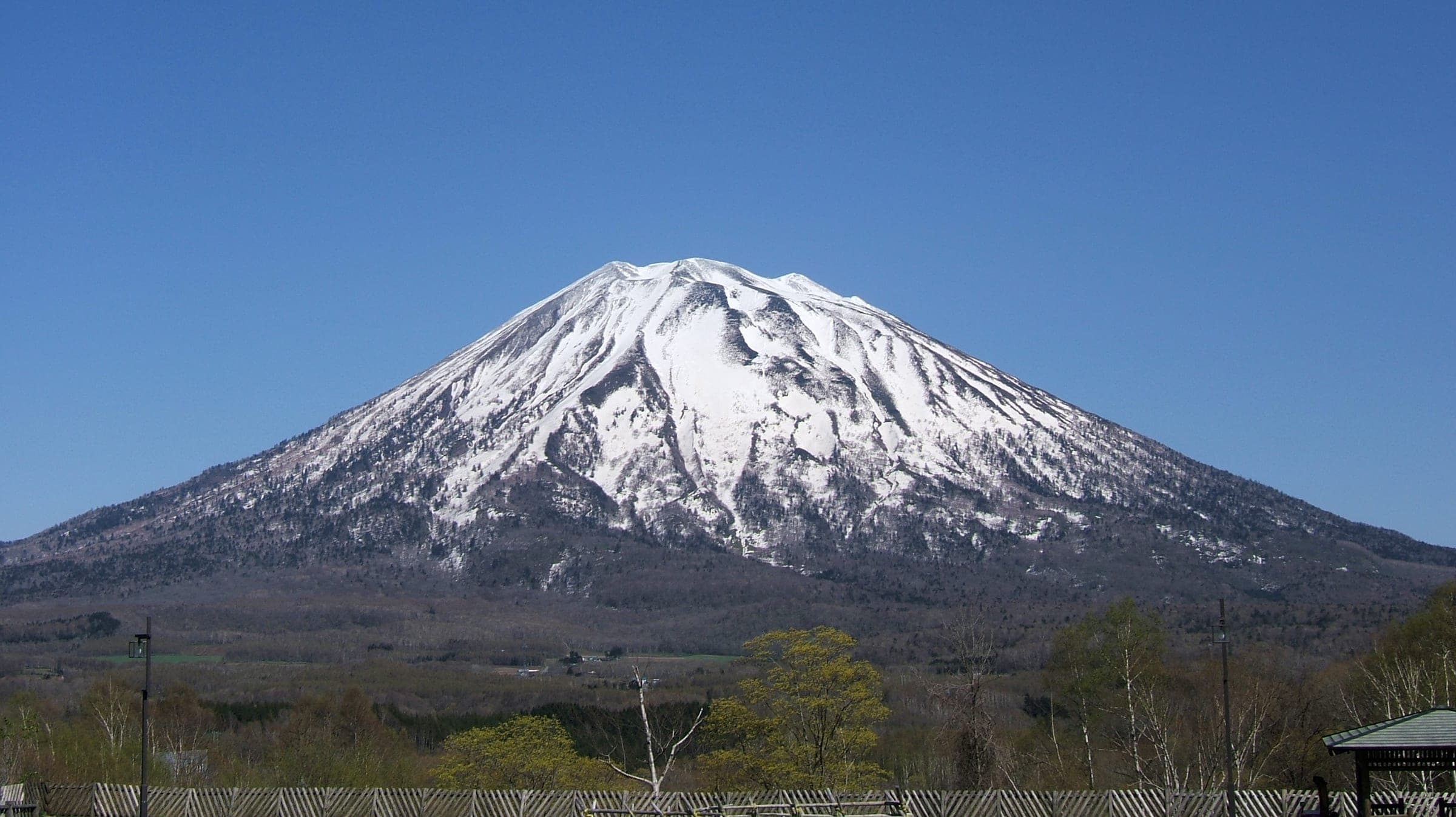
Yotei stands 1,898 m high on its own above the Niseko valley, and ski routes climb every face of the cone to treeline forest and the summit crater.
Photo Rob Thomson / Hokkaido Wilds · Publisher's own site · CC BY-SA 4.0 and others, credited in the gallery
Read the terrain
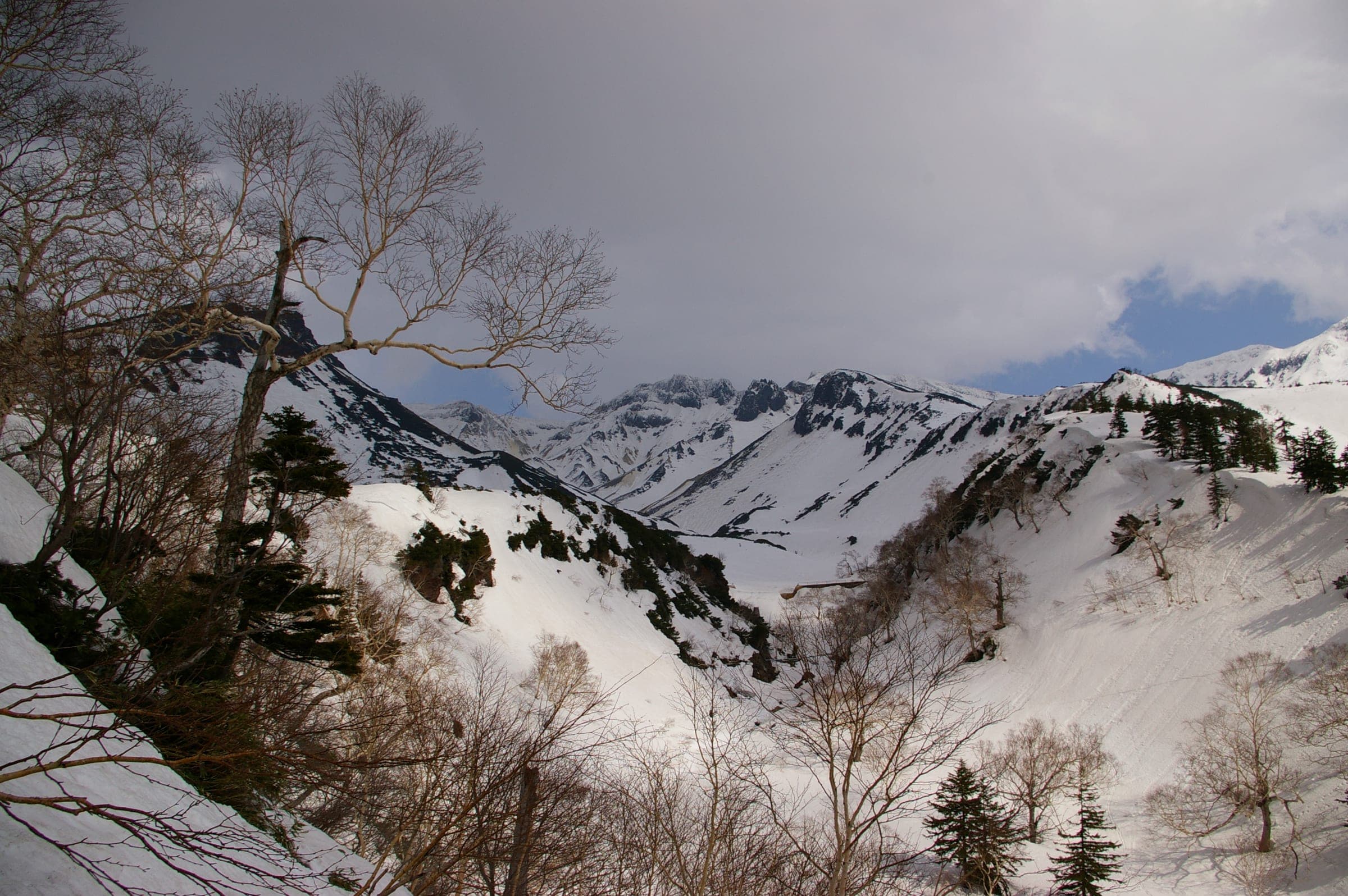
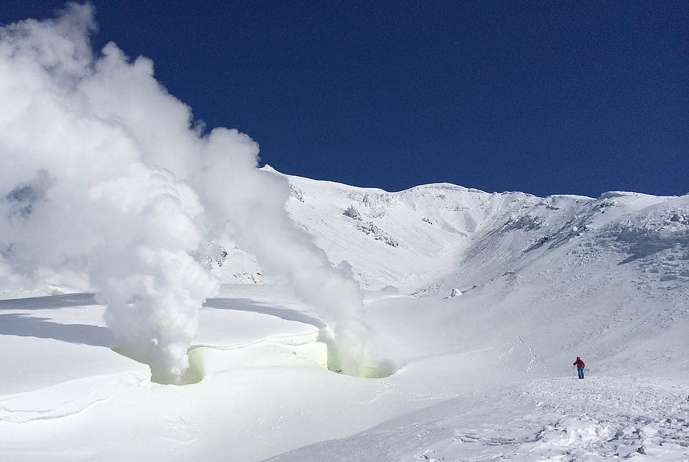
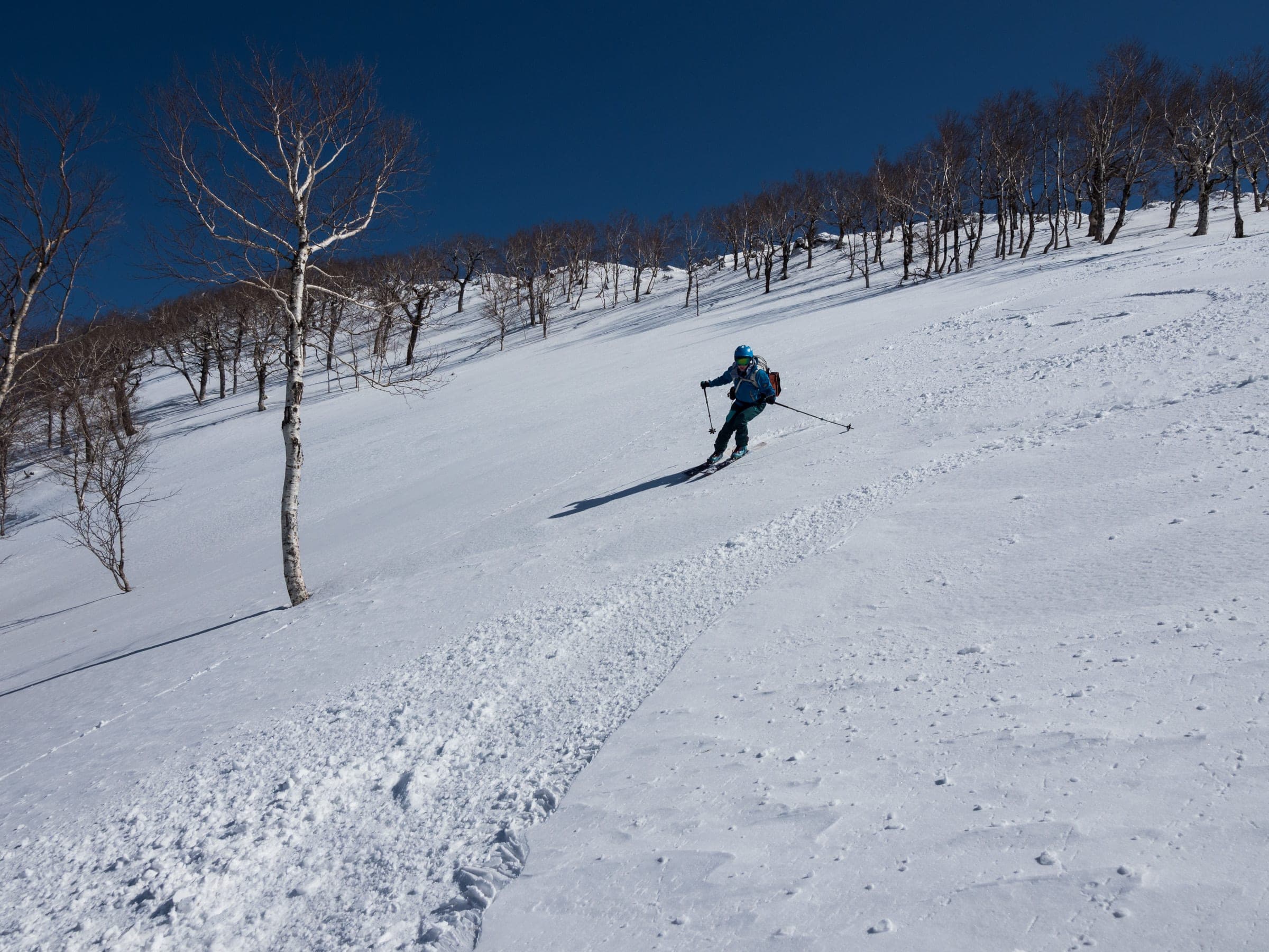
Every side of the cone has a route. Below about 1,300 m the slopes run through old-growth forest and open terraces, and above that the snow turns to wind slab and rime on the way to a 700 m wide summit crater that drops about 200 m inside its rim.
Watch for these hazards
- No avalanche control, marked winter routes or patrol anywhere on the mountain
- Rime and ice above about 1,300 m; boot crampons and ski crampons are often needed
- Exposure to wind from every direction, with almost no shelter near the summit and fast-onset hypothermia
- Large cornices on the ridges above the Makkari and Jinja-no-sawa routes, with remote-triggering risk in spring
- Terrain traps in gullies, worst in the 148 Gully on the north face
- Navigation errors on descent; riders dropping off the main Makkari bowl face a long traverse back, and lost skiers have needed rescue
- Fatal avalanches in January 2023 on the Hirafu route and in March 2024 on the Kutchan side
Pick a route that suits the dayルート
Makkari route真狩コース
1,000 m ascent · advanced
From the Yotei Nature Park car park the route climbs south-facing forest to the 1000 m Terrace and on to a 1,300 m turnaround. The round trip covers 9.5 km and takes about 5 hours. Drop too far off the main bowl on the way down and you face a long traverse back.
Jinja-no-sawa (Cemetery route)神社ノ沢
1,050 m ascent · advanced
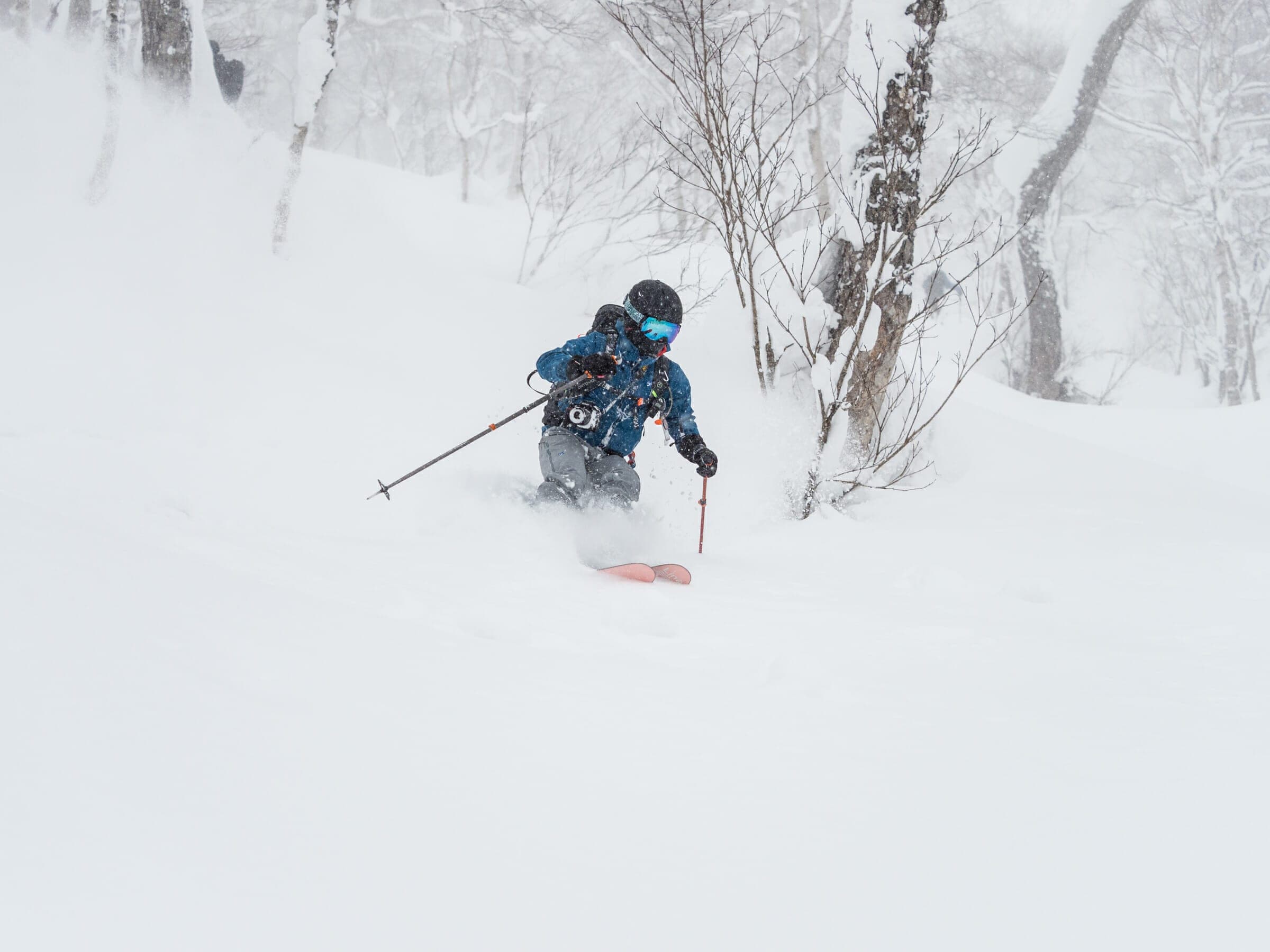
The route starts from the plowed cemetery road east of Makkari and reaches the Delta Slope. That south-facing fan holds about 30 degrees between 600 and 1,250 m. Big cornices on the looker's-left ridge can release remotely in spring. Signs ban parking by the water tank 05:00–08:00 so the plow can turn.
Makkimo routeマッキモ
960 m ascent · advanced
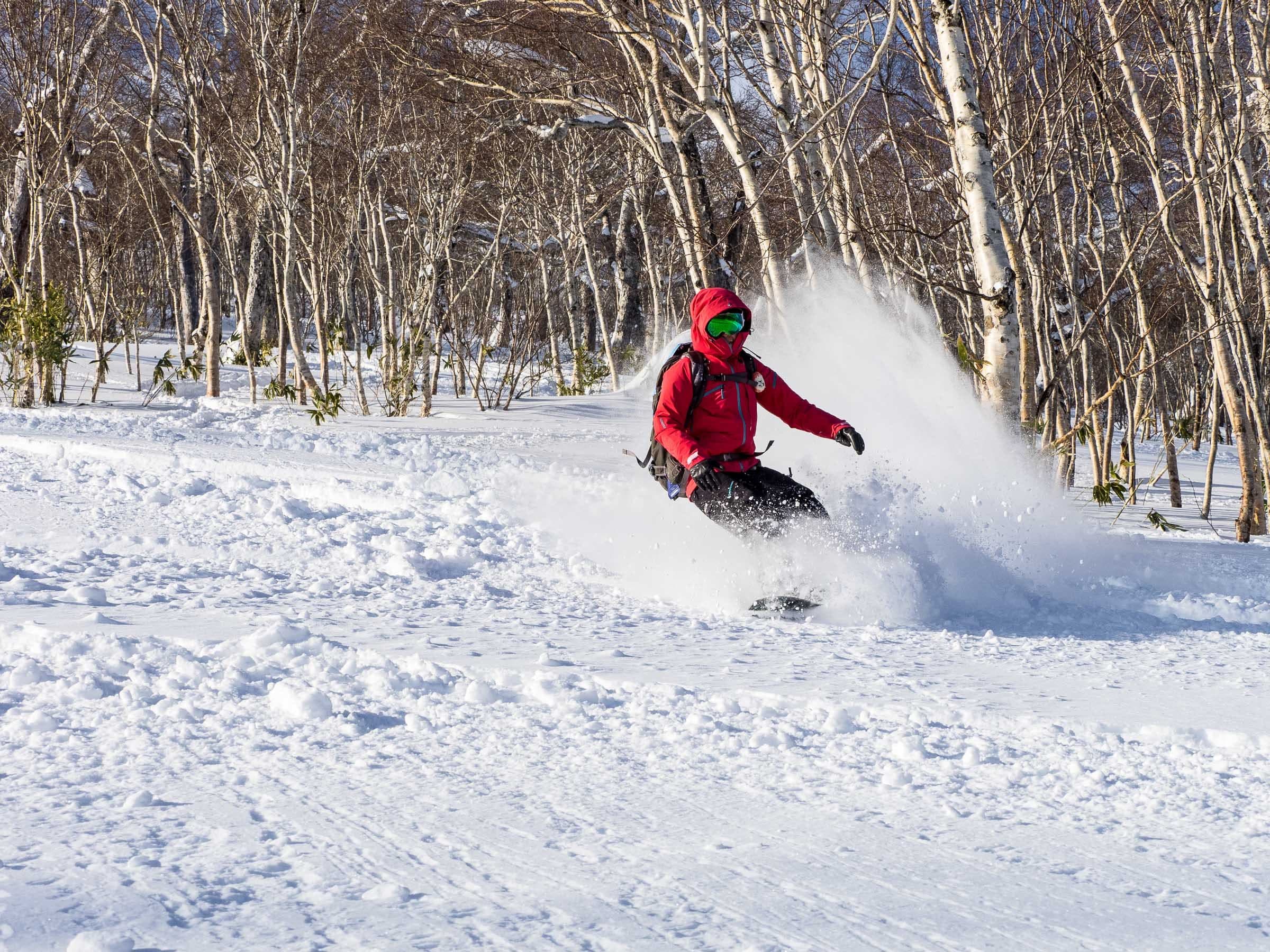
This southeast route between Makkari and Kimobetsu starts from a public car park on Route 97 with space for 15–20 cars. Hirafu is about 30 minutes away by car. It runs 8 km to around 1,300 m in about 5 hours.
Kimobetsu route喜茂別コース
1,000 m ascent · advanced
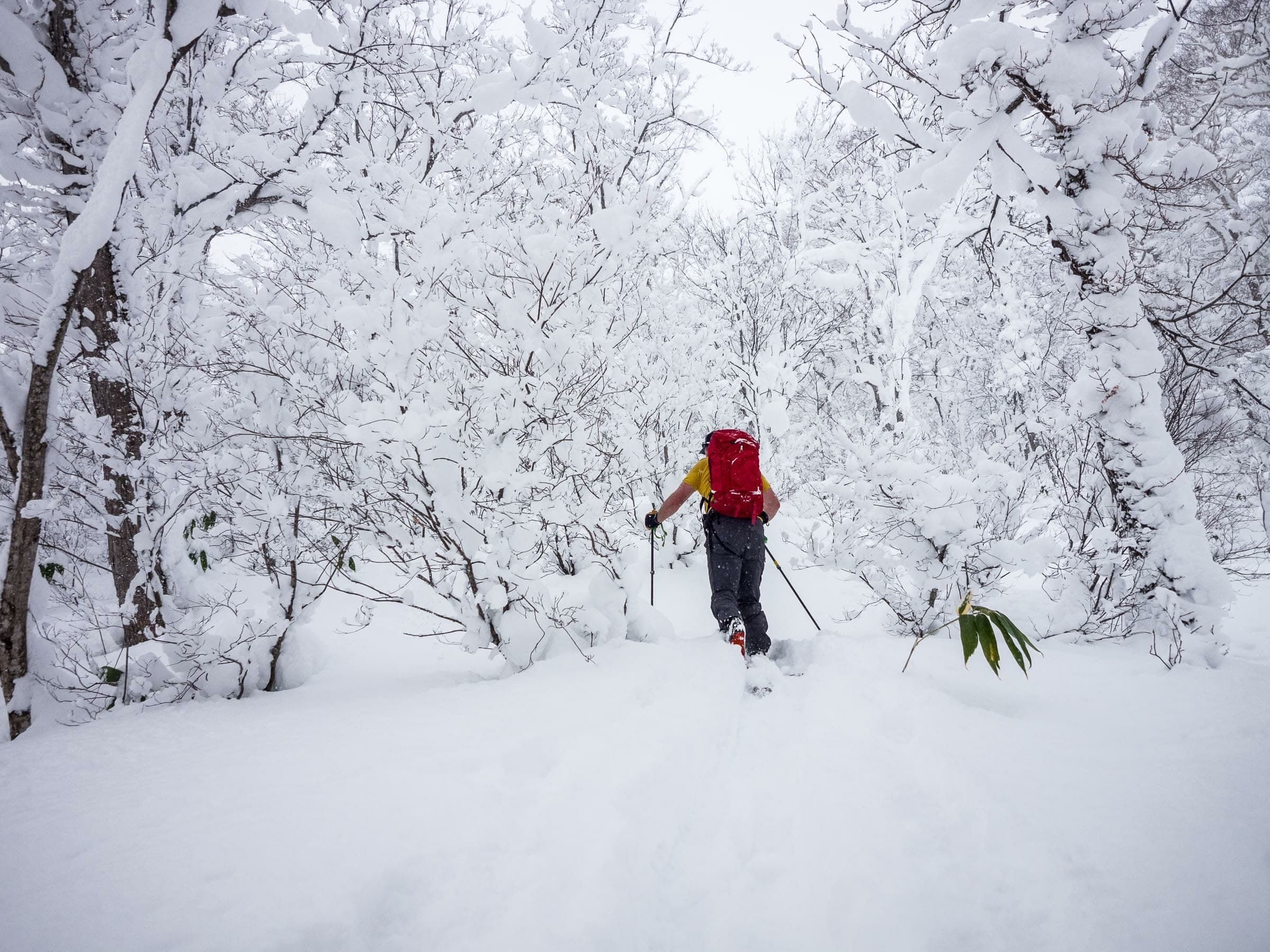
From the roadside start on the east-southeast side the route follows a forestry road past a gate and climbs a broad, plane-like slope from 800 to 1,400 m with couloir-like gullies on both sides. Expect to shovel a parking spot.
Kyogoku route京極コース
1,000 m ascent · advanced
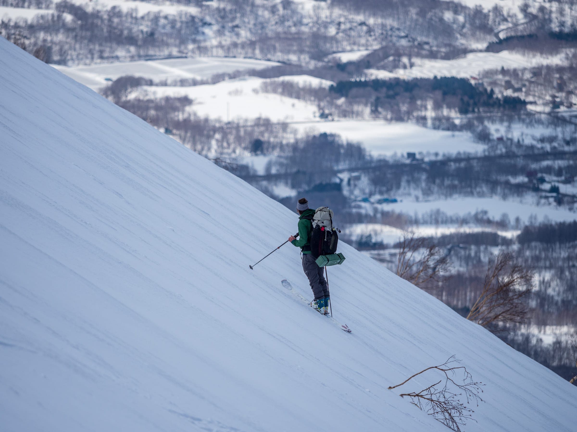
The northeast route starts from a small lot for five or six cars at about 420 m and climbs a narrow spur at 970 m to slopes over 30 degrees below 1,350 m. It needs a deep base, so ride it from February to April.
Hirafu (Kutchan) route倶知安ひらふコース
1,550 m ascent · expert
The west-face route climbs 12 km from the large plowed lot at Hangetsu-ko to the summit and the crater. Allow about 9 hours, and expect the full force of the northwest winter wind on the way past the refuge hut near 1,700 m.
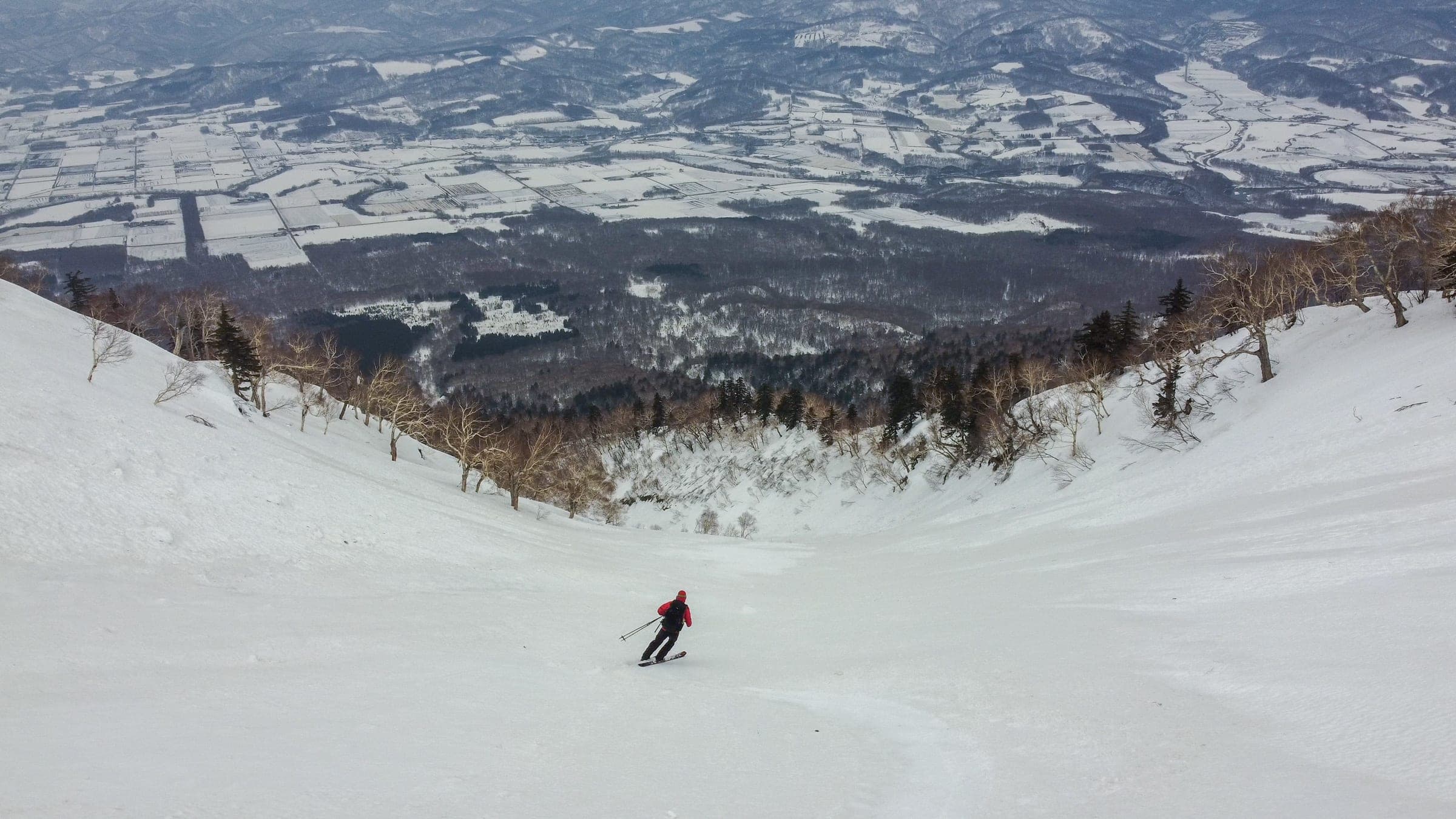
148 Gully148号の沢
1,580 m ascent · expert
The north-face line climbs 13 km to the rim and drops 1,300 m back down a gully that is one long terrain trap. Roadside parking is illegal, so take the weekday school bus from JR Kutchan to Sansen-kado.
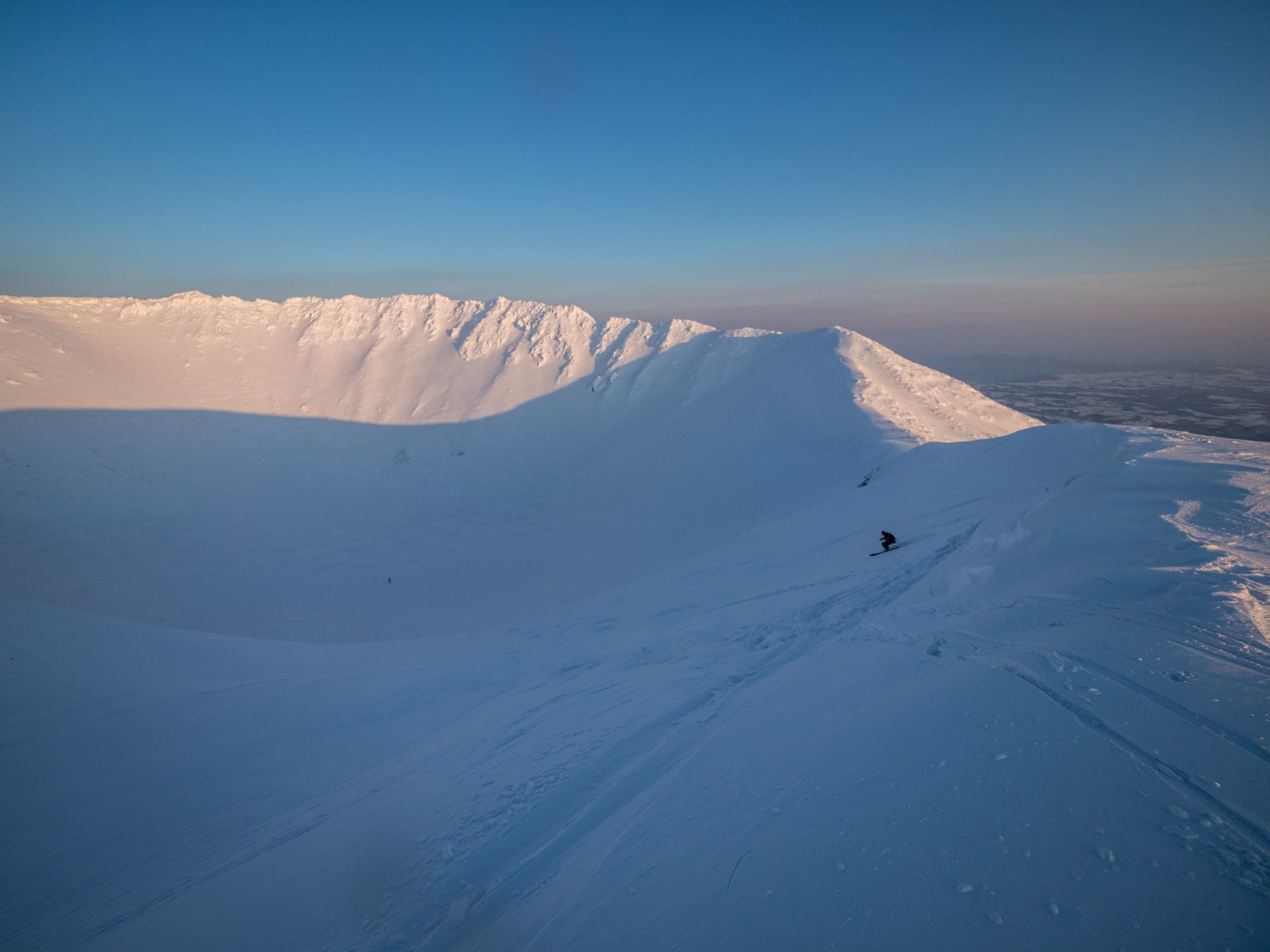
Summit crater (Okama)父釜
expert
The summit crater is about 700 m across, and the skiable part of its interior drops about 150 m. Riders ski the western and northern sides because the east and south rims are cliffs.
Follow the published lines in 3D立体地図
8 trip reports
What riders report from the hill山行記録
2019-12-30 · Hokkaido Wilds trip report
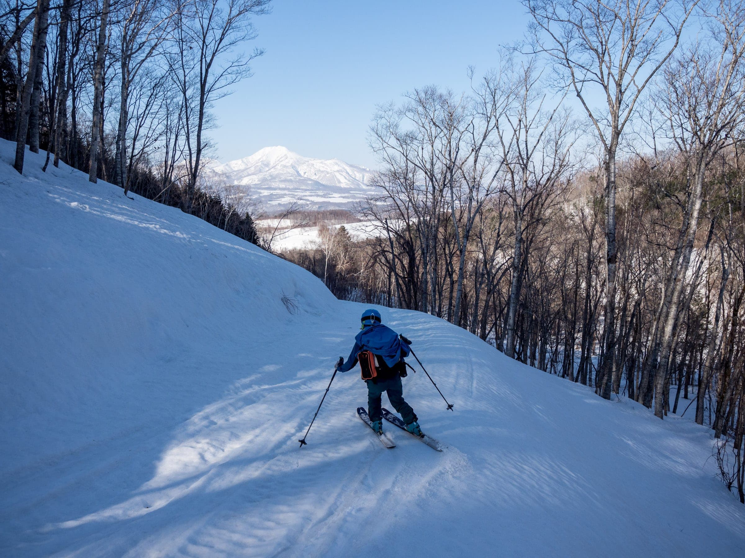
In a thin early season the party aimed for the terrace at about 1,000 m and found the existing skin track very steep in places. Park as high as the plowing allows and skin up the road to the trailhead sign.
Read the source2020-01-03 · Hokkaido Wilds trip report
The route starts by the big water tank near the Makkari cemetery with about 1 km of flat travel, and the climbing begins at the check dam around 450 m. Splitboarders will want ski mode for the flat exit.
Read the source2019-12-29 · Hokkaido Wilds trip report
On 29 December 2019, after about 50 cm of new snow, a long line of cars filled the roadside and the party shovelled for ten minutes to make a space. Typhoon blowdown litters the lower slope, and skin tracks fork at the end of the forestry road.
Read the source2020-01-04 · Hokkaido Wilds trip report
In the low-snow New Year week of 2019/20 this route turned into a bush-bash through sapling birch. Steep pitches of skin track left both skiers face-down in the snow.
Read the source2022-04-02 · Hokkaido Wilds trip report
On 2 April 2022 the snow was like concrete in the early morning, and the party fitted ski crampons at about 1,200 m. A ski came off at 1,300 m and slid about 200 m before softer snow stopped it.
Read the source2022-04-10 · Hokkaido Wilds trip report
A solo climb on 10 April 2022 left the valley mist behind within minutes and switched from ski crampons to boot crampons on steep dust over crust. Both of the gully's waterfalls showed on the way down from about 900 m, and the author got past them with a high traverse and a jump. The guide warns that a rescue in this terrain trap would be very hard.
Read the source2022-01 · Hokkaido Wilds guest report
A guided party planned four to five hours up the Makkari side to the rim and took six before skiing into the crater. The report suggests the best skiing outside the crater lies below about 1,400 m.
Read the sourceHokkaido Police SAR record (via Hokkaido Wilds)
A skier on a ten-person tour was caught in an avalanche near the sixth station on the Hirafu route at about 2:20 pm. Companions dug the skier out and a police helicopter recovered them, and the record lists the outcome as a death.
Read the source
Go with a guideガイド
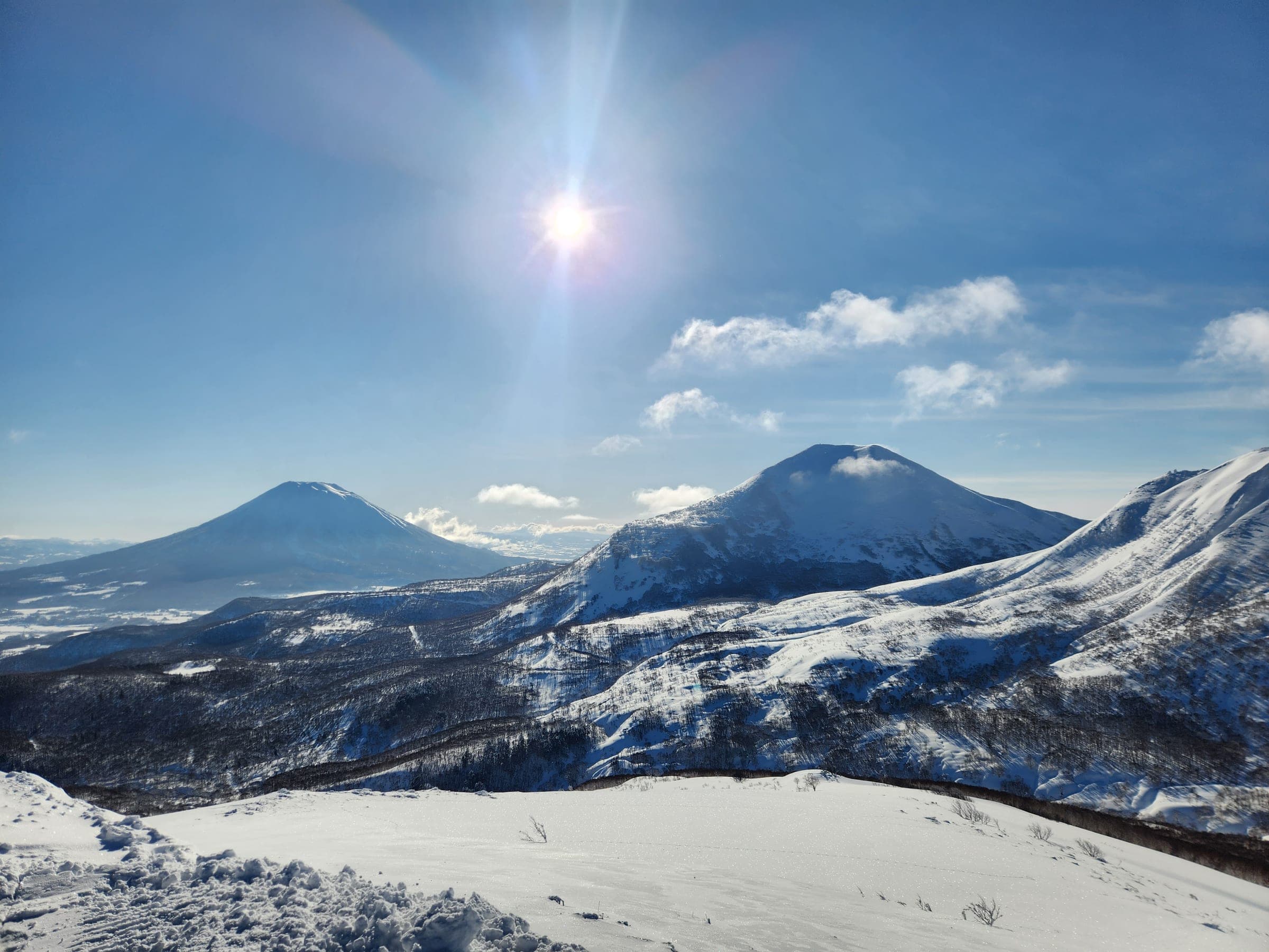


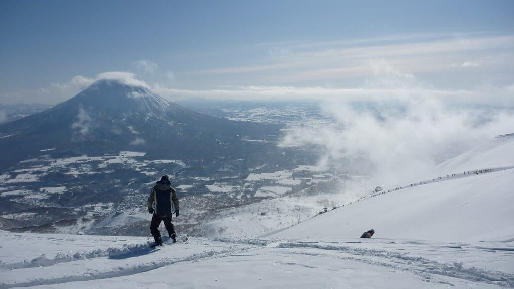
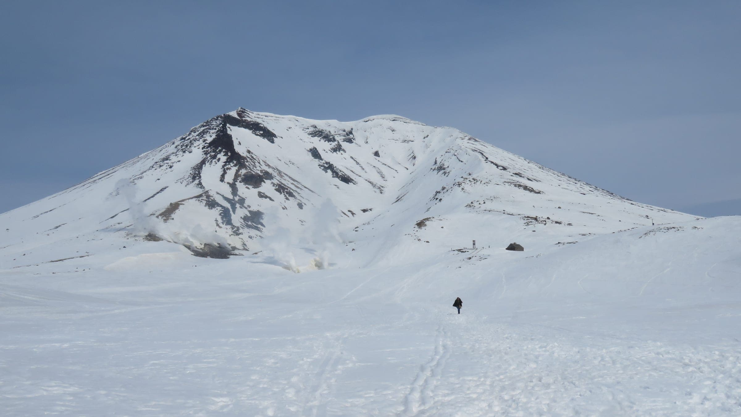
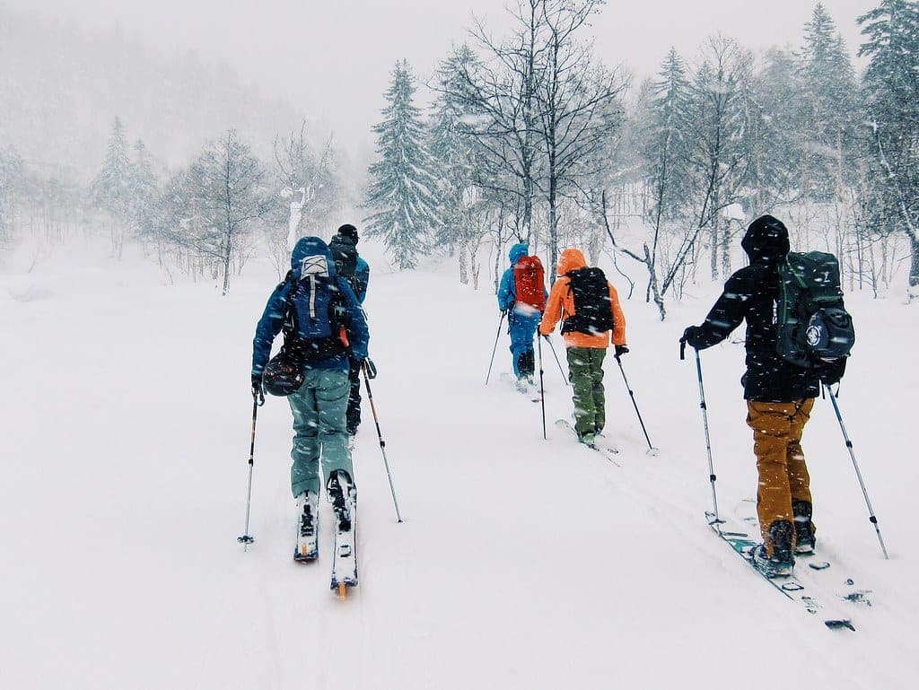
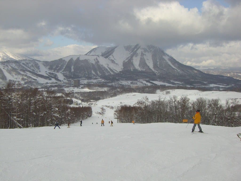
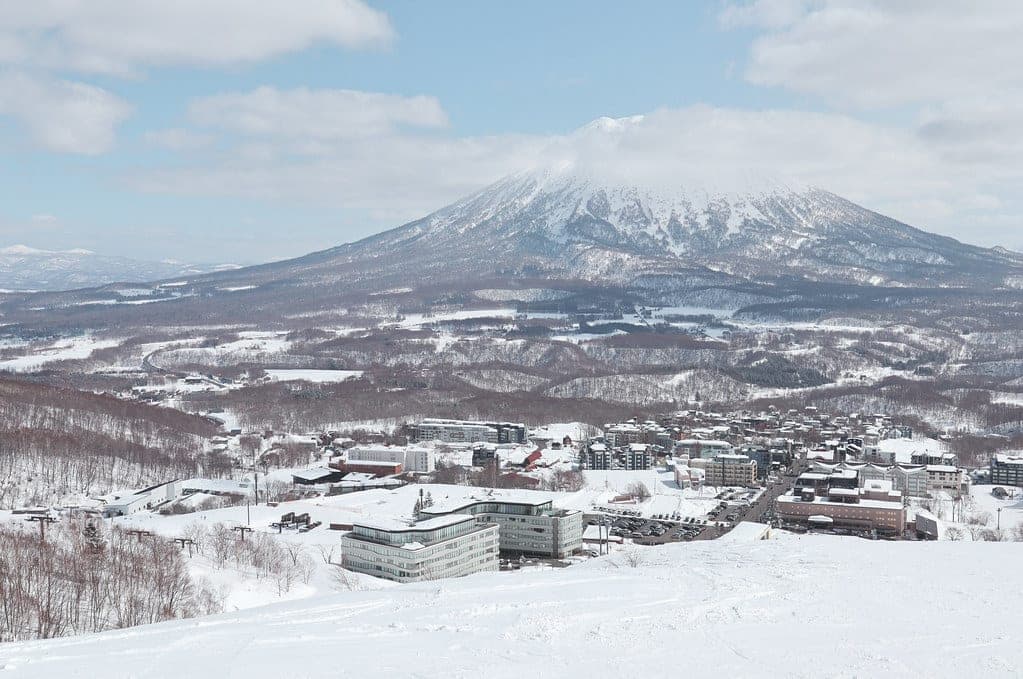
Yotei rises alone between Niseko and Rusutsu, and on a clear morning you see it from every lift in the valley. Its 1,898 m summit has a prominence of 1,878 m. Nothing on it is controlled or patrolled. Most of the reliable skiing sits below about 1,300 m in old forest and open terraces, and the cone above that belongs to wind and ice for much of the winter.
The south side is where most people start. The Makkari route climbs from the big plowed car park at Yotei Nature Park to the 1000 m Terrace. That old-growth plateau under the cone is the main ski zone, and the Jinja-no-sawa route next door leads to the Delta Slope. Riders lap that 30-degree fan from 600 m up to around 1,250 m. Both of those named features sit below heavily corniced ridges, so watch what hangs above you in spring. Kimobetsu on the southeast side climbs a broad, even slope between gullies, and Kyogoku on the northeast needs a reliable base before it is worth the drive.
The summit is a spring objective for most parties. Guides favour mid-March to early May for the long days and settled snow, and a summit round trip takes about eight hours before you add half an hour to ski into the crater. The Hirafu route on the west face climbs 1,550 m and passes the refuge hut near 1,700 m. On the north side the 148 Gully drops 1,300 m from the rim in one long terrain trap. Ride either of those only with a guide and a stable forecast.
Yotei has killed people in recent seasons. A member of a ten-person tour died in an avalanche near the sixth station of the Hirafu route in January 2023, and in March 2024 a slide on the Kutchan side killed two New Zealanders during a warm spell. Check the Japan Avalanche Network bulletin for the Niseko area before every trip and file a climbing plan through Compass.

Quick answers about Mt. Yoteiよくある質問
How long is a tour on Mt. Yotei?
A typical tour on Mt. Yotei climbs 950–1,050 m to treeline laps around 1,300 m; 1,550–1,600 m to the summit and takes 5 hours for treeline routes; 8–9 hours for a summit and crater day.
When can you ski tour Mt. Yotei?
The touring season on Mt. Yotei runs december to May; most reliable skiing sits below 1,300–1,400 m, and summit and crater days are best from March to early May.
Do you need a guide for Mt. Yotei?
We recommend a certified guide for Mt. Yotei unless your group can read the snowpack and run its own rescue.
Where do you check avalanche danger for Mt. Yotei?
Read the day's bulletin from Japan Avalanche Network (https://nadare.jp/) before every tour on Mt. Yotei.
Within 30 km
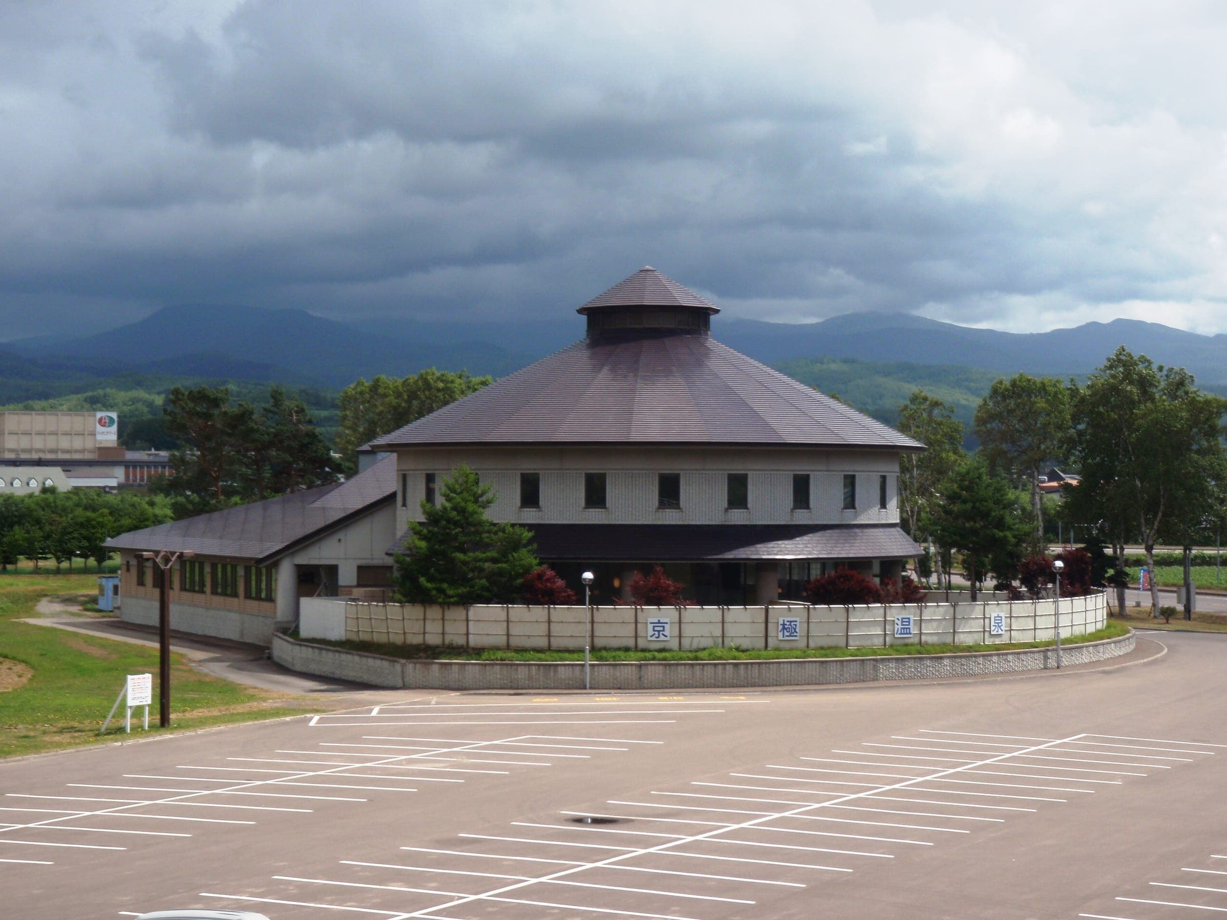
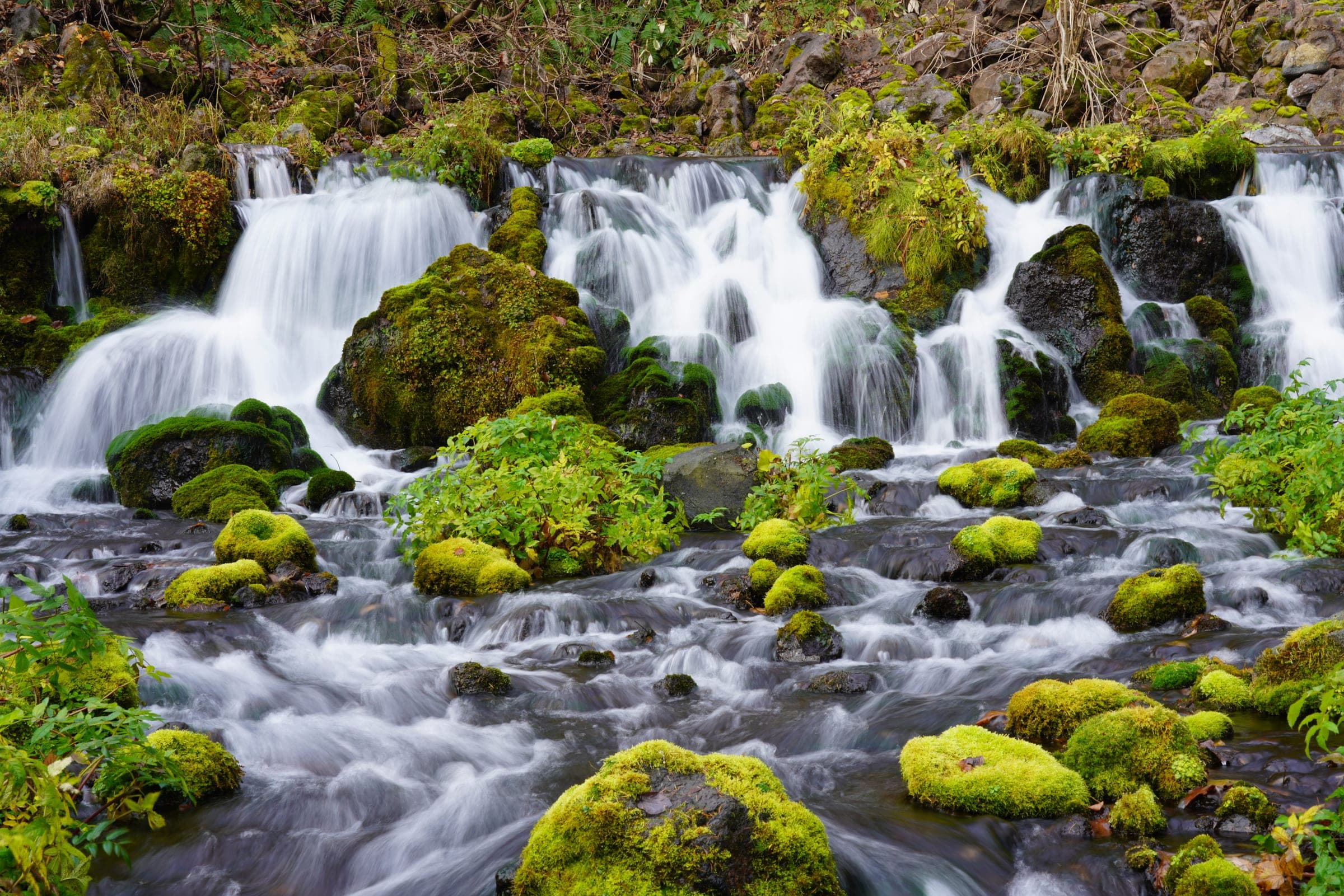
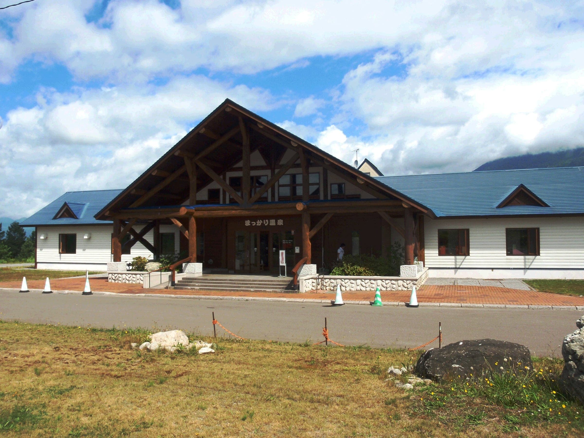
Hot springs nearby温泉

Within 40 km
Ski resorts nearby山



Within 80 km
Backcountry zones nearby山スキー
Within 35 km
Places to stay nearby宿

Within 35 km
Towns and neighbourhoods nearby町


In the journal