Muine-yama
無意根山42°56′ N 141°02′ Eadvanced1,464 mGuide recommended
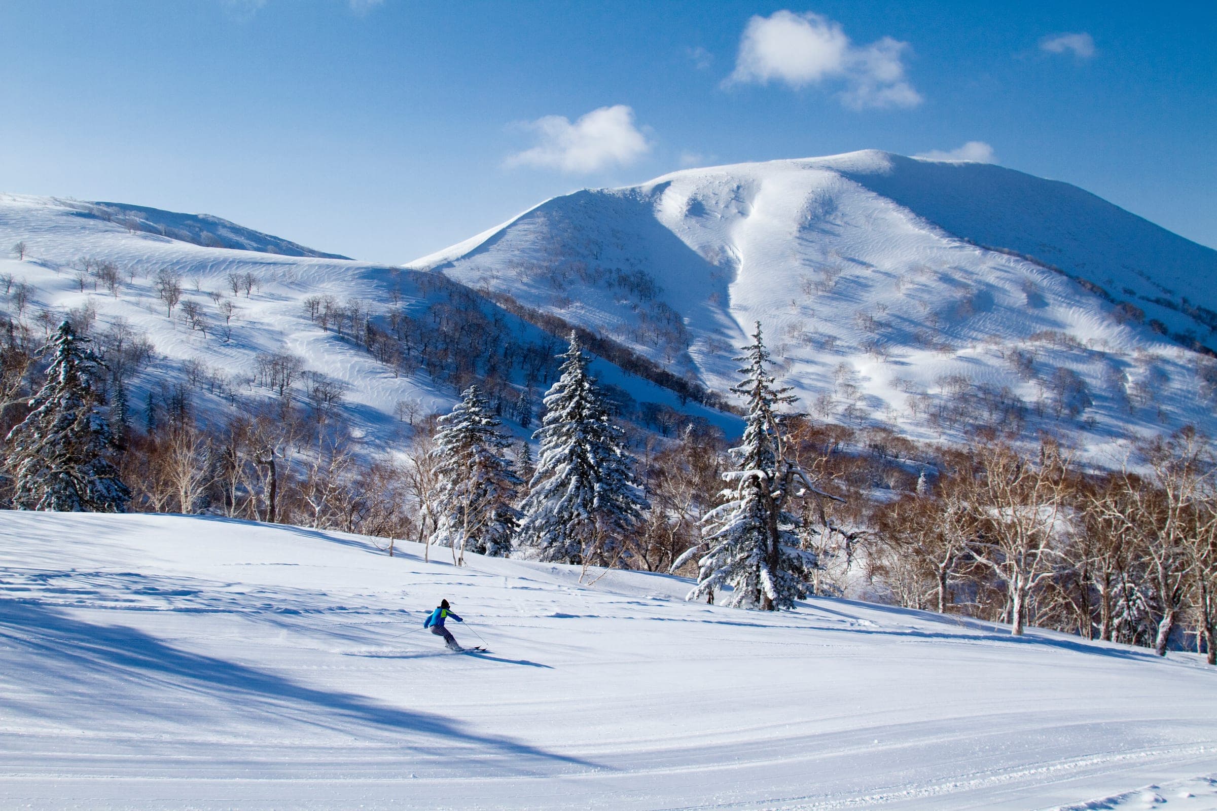
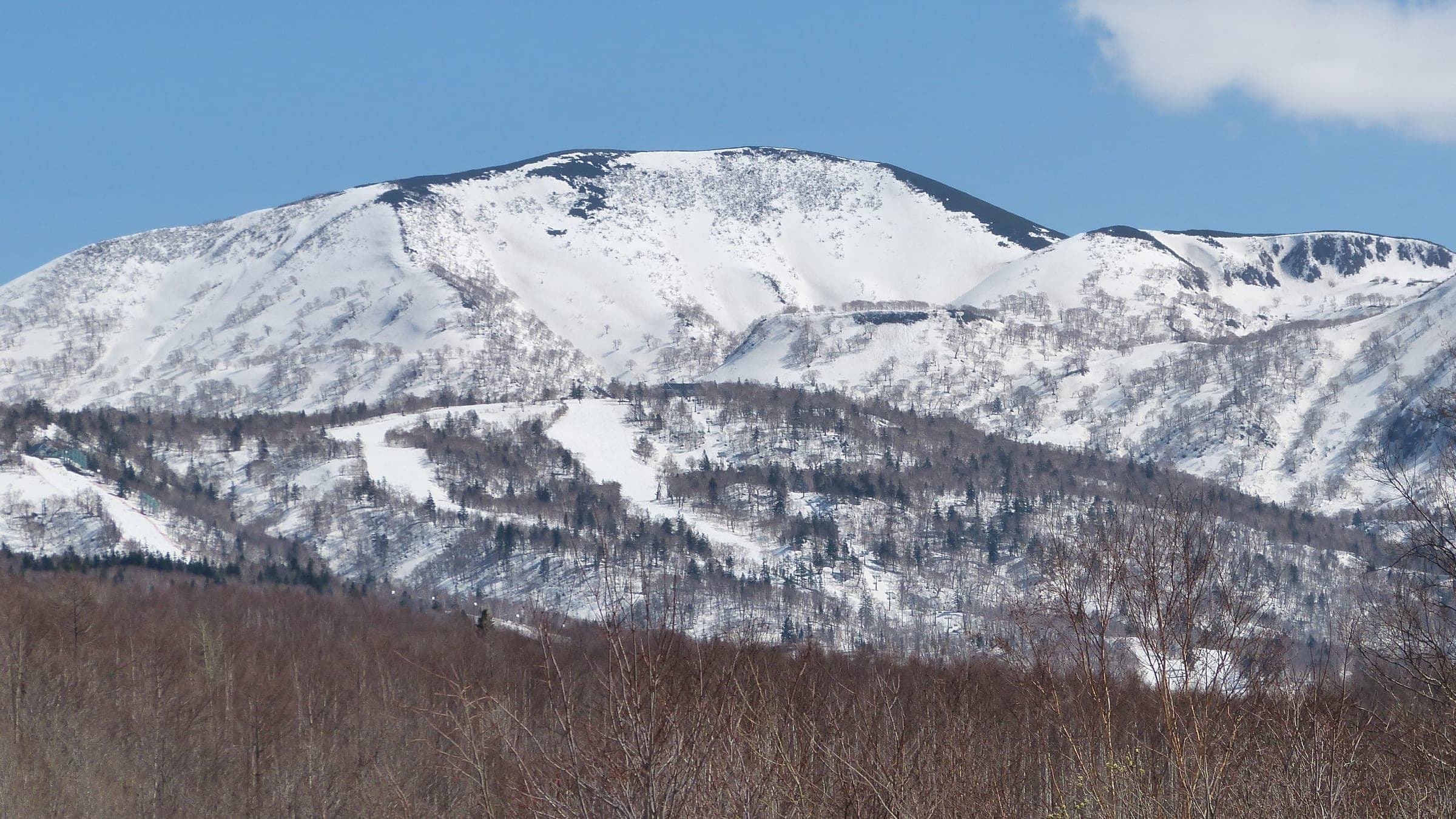
Muine-yama rises to 1,464 metres behind Jozankei with a broad summit plateau and the worst avalanche record in the Sapporo region.
Photo Rick Siddle (hokkaidowilds.org) · Publisher's own site · CC BY-SA 4.0 and others, credited in the gallery
Read the terrain
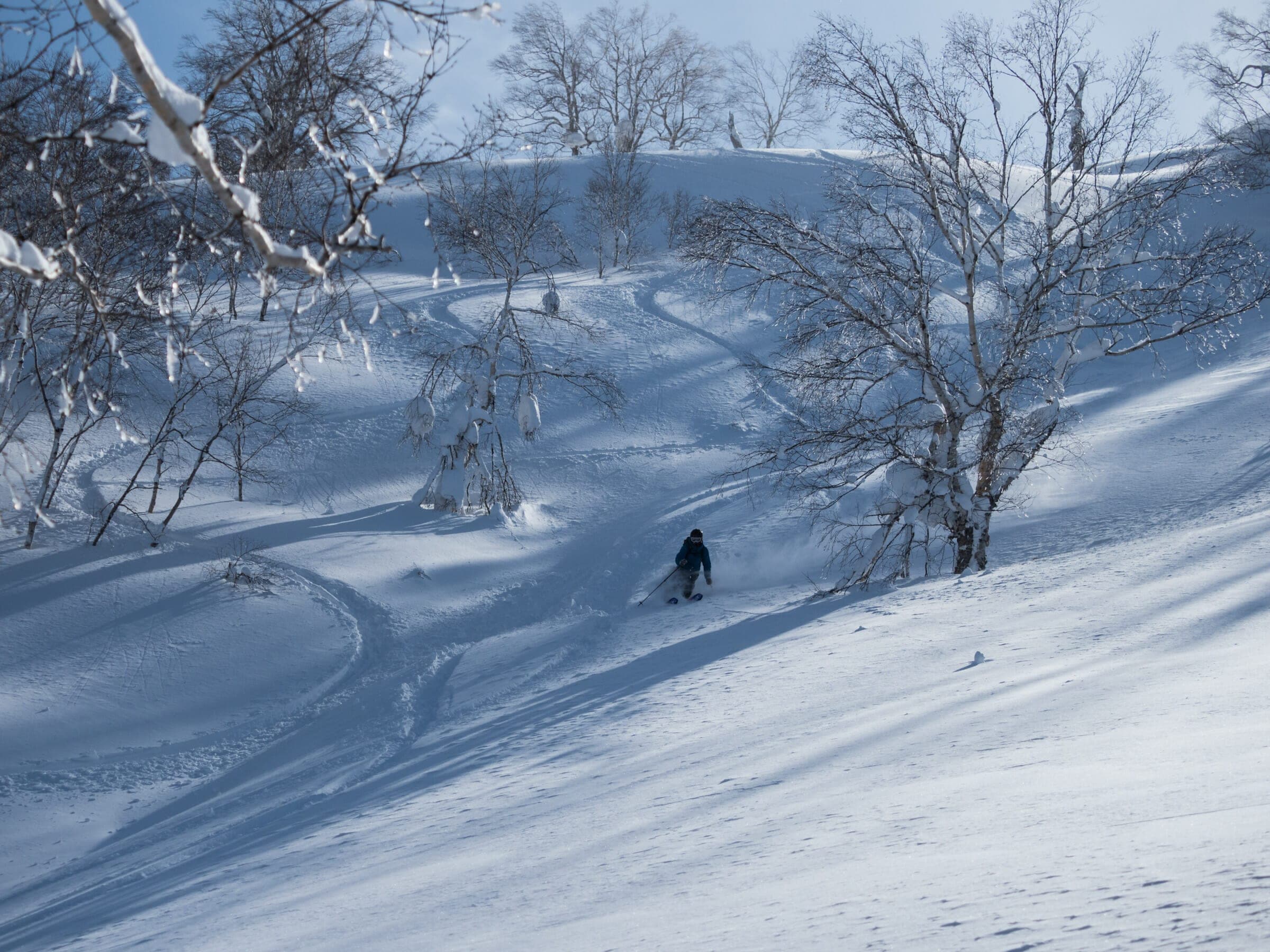
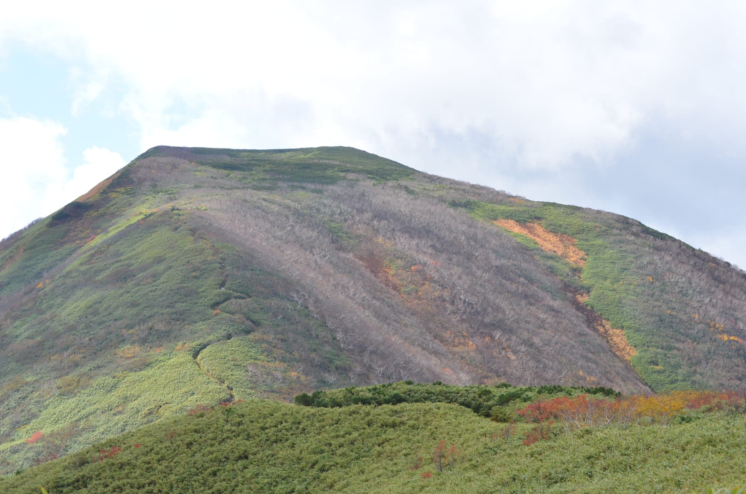
A long climb past Senjaku Plateau (1,153 m) and a cornice at the Uma-no-se dip leads onto a whaleback summit plateau scoured by wind. Steep east-facing slopes drop into deep gullies off the main ridge.
Watch for these hazards
- More avalanche fatalities than any other mountain in the Sapporo region, on steep east slopes with deep run-out gullies
- The north bowl on Senjaku Plateau should be avoided on high-risk days
- Cornices at Uma-no-se and west of Naka-dake (1,388 m)
- Whiteout on the long summit plateau; navigation needs good weather
- Muine Hut burned down in November 2024, so there is no shelter on the Nakayama-side route
Pick a route that suits the dayルート
Motoyama route from the Toyoha mine元山コース
897 m ascent · advanced
The standard winter route covers 16 km via Senjaku Plateau and Uma-no-se to the summit plateau. Hokkaido Wilds rates it 7.5/10 and puts it at about six hours.
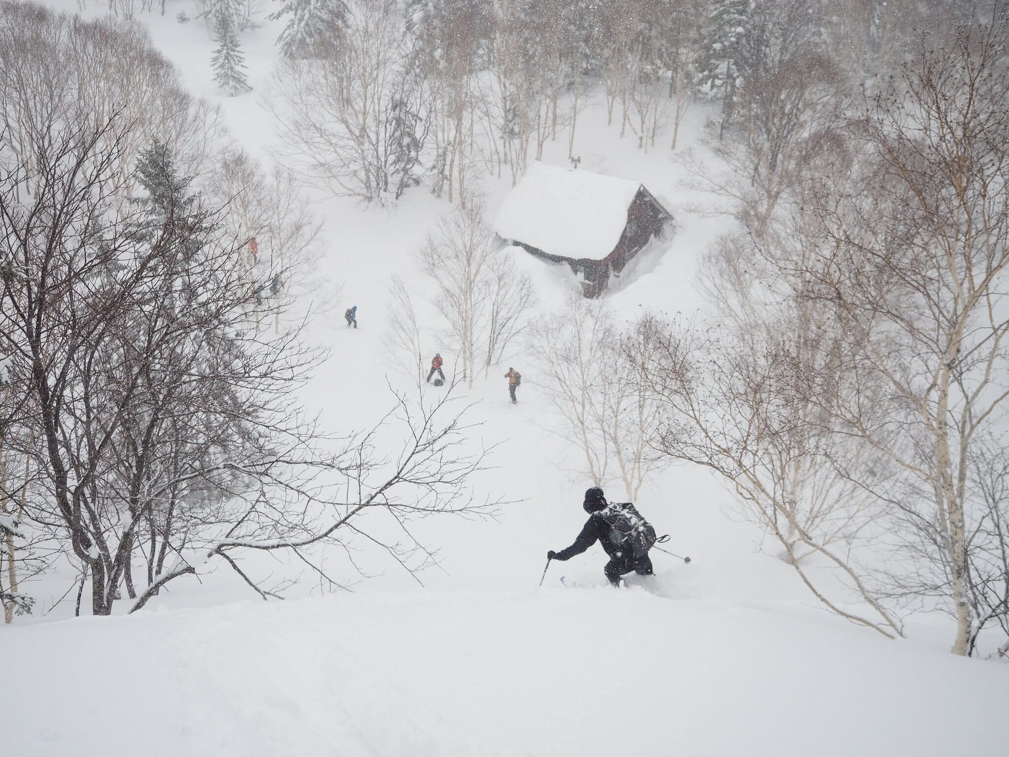
Muine Hut route from the Nakayama side
1,068 m ascent · advanced
A 19 km day from the Jozankei–Nakayama road with eastern slopes over 30 degrees. The Hokkaido University hut at 1,020 m burned down in November 2024.
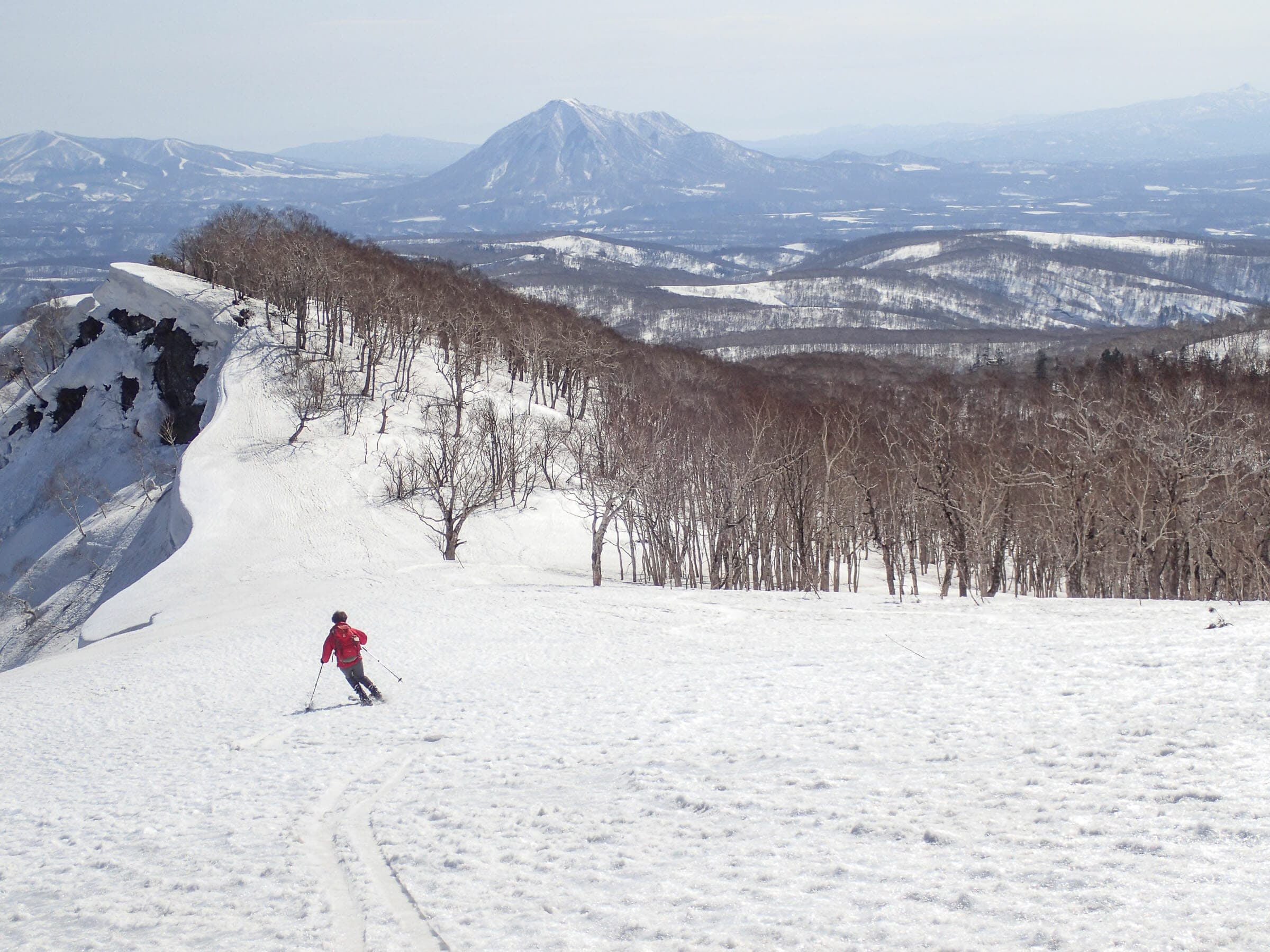
Muine to Kimobetsu-dake traverse
1,060 m ascent · advanced
A spring traverse of 17 km and about seven hours ends at a layby on Route 230 below Nakayama Pass, so it needs a car shuttle. Watch the big cornices at Uma-no-se and west of Naka-dake.
Follow the published lines in 3D立体地図
3 trip reports
What riders report from the hill山行記録
2021-02-28 · Hokkaido Wilds trip report
Another skier told the party they could not park on the roadside at the trailhead, so they drove up to the larger lot and skied back. The snowshoe trail toward Senjaku plateau has extra ups and downs that the usual skin track avoids.
Read the source2018-03 · Hokkaido Wilds trip report
In a report published in March 2018, the party followed a fresh skin track set by Hokkaido University students along 5 km of forestry road after three days of storm. Estimates of the time to Muine Hut ranged from three hours to seven.
Read the source2019-04-21 · Hokkaido Wilds trip report
An Easter Sunday traverse on firm spring snow bypassed the cornice at Umanose and found the drop off the south end of the summit ridge icy with dwarf pine poking through. Short bootpacks led to Naka-dake and the 1,258 m peak, and the party arranged a drop-off and pick-up.
Read the source
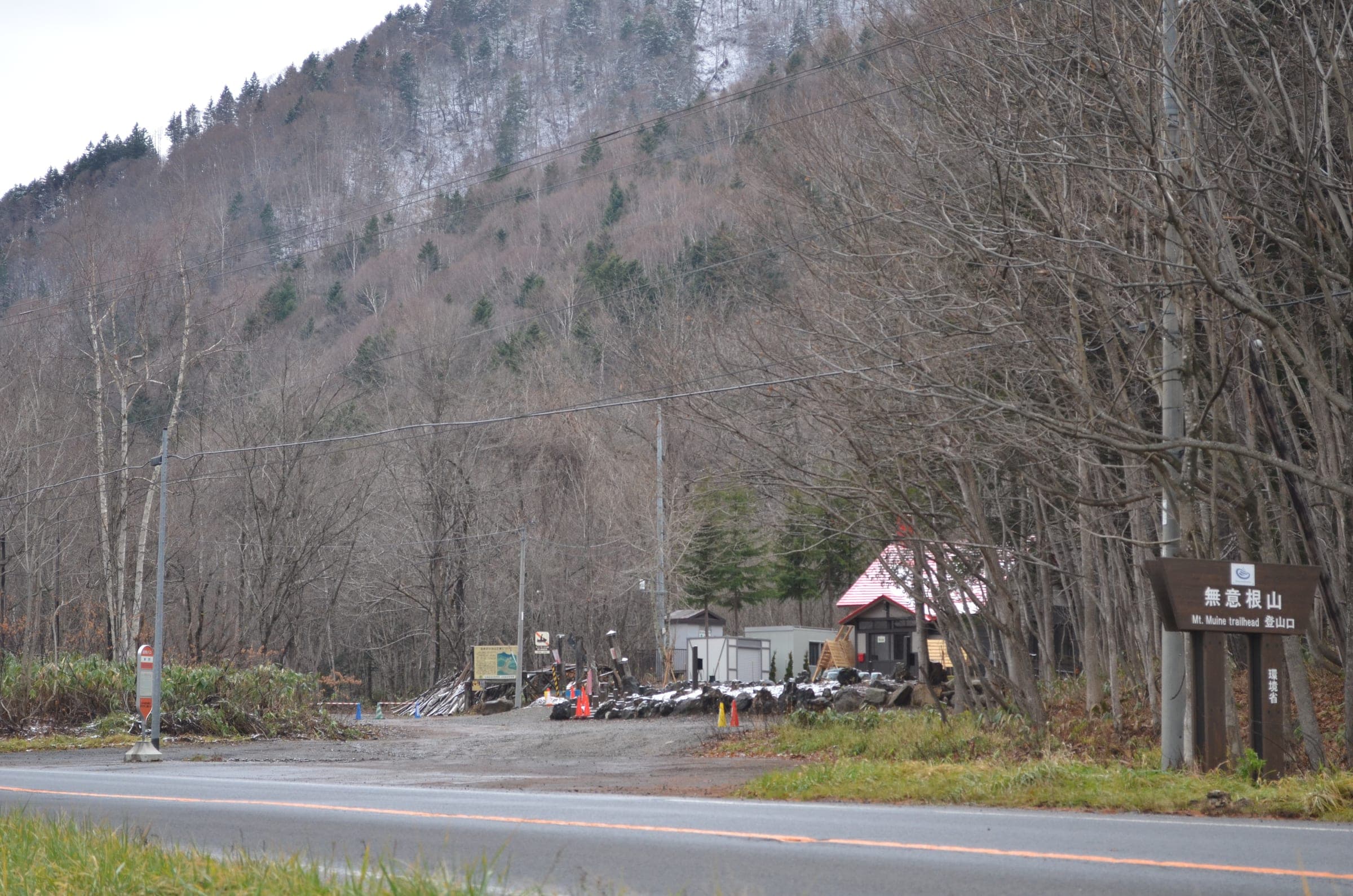
Muine-yama stands at 1,464 metres on the boundary between Sapporo and Kyogoku, south-west of Jozankei. The usual winter approach starts at the old Toyoha mine at about 600 metres, where a ski lift once carried mine workers until it closed in 2000. Winter parking is only allowed at the end of the private plowed road, and a taxi from Jozankei takes about half an hour.
The climb takes about two hours to Senjaku Plateau. Beyond it the route dips through Uma-no-se (the horse's back) beneath a cornice and then climbs a long whaleback to the summit. Wind strips the top bare. In cloud the plateau gives you nothing to steer by, and the Japanese guidebook warns how easy it is to lose your way.
Muine has killed more people in avalanches than any other mountain around Sapporo. The east faces are steep and empty into deep gullies, and the north bowl on Senjaku Plateau is the one to leave alone on a bad day. In March and April strong parties link Muine to Kimobetsu-dake and finish at a layby below Nakayama Pass. The traverse takes about seven hours and needs a car at each end.
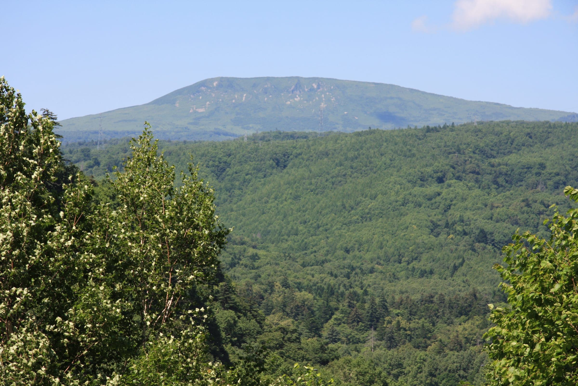
Quick answers about Muine-yamaよくある質問
How long is a tour on Muine-yama?
A typical tour on Muine-yama climbs about 900 m on the Motoyama route; about 1,070 m from the Nakayama side and takes 6 hours (Motoyama route); a long full day from the Nakayama side.
When can you ski tour Muine-yama?
The touring season on Muine-yama runs december to March; March to April for the Kimobetsu-dake traverse.
Do you need a guide for Muine-yama?
We recommend a certified guide for Muine-yama unless your group can read the snowpack and run its own rescue.
Where do you check avalanche danger for Muine-yama?
Read the day's bulletin from Japan Avalanche Network (https://nadare.jp/) before every tour on Muine-yama.
Within 30 km
Hot springs nearby温泉
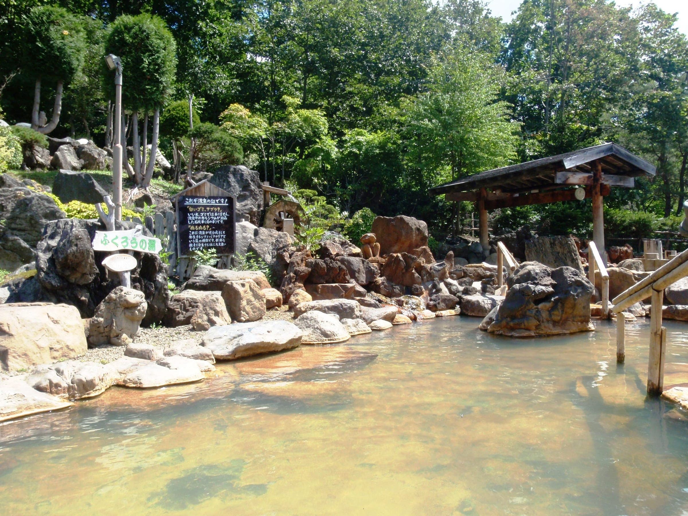
Within 40 km
Ski resorts nearby山
Within 80 km
Backcountry zones nearby山スキー
Within 35 km
Places to stay nearby宿
Within 35 km