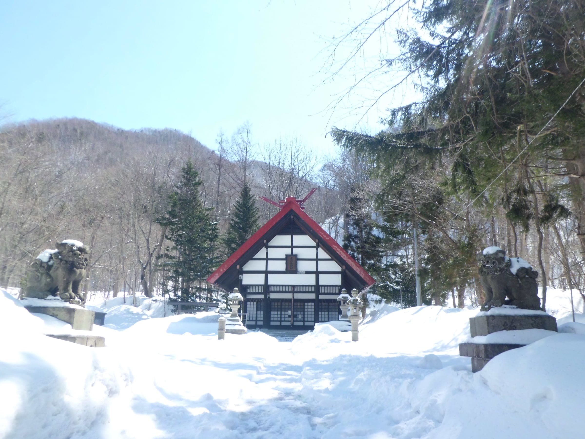
Yoichi-dake
余市岳43°02′ N 141°01′ Eadvanced1,488 mGuide recommended
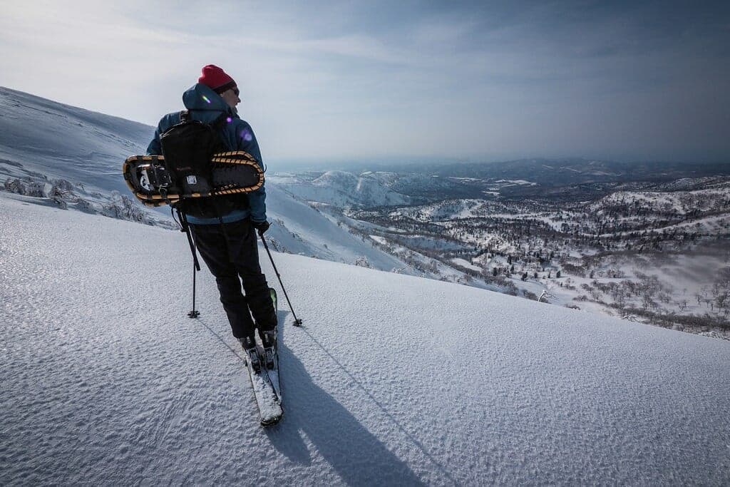
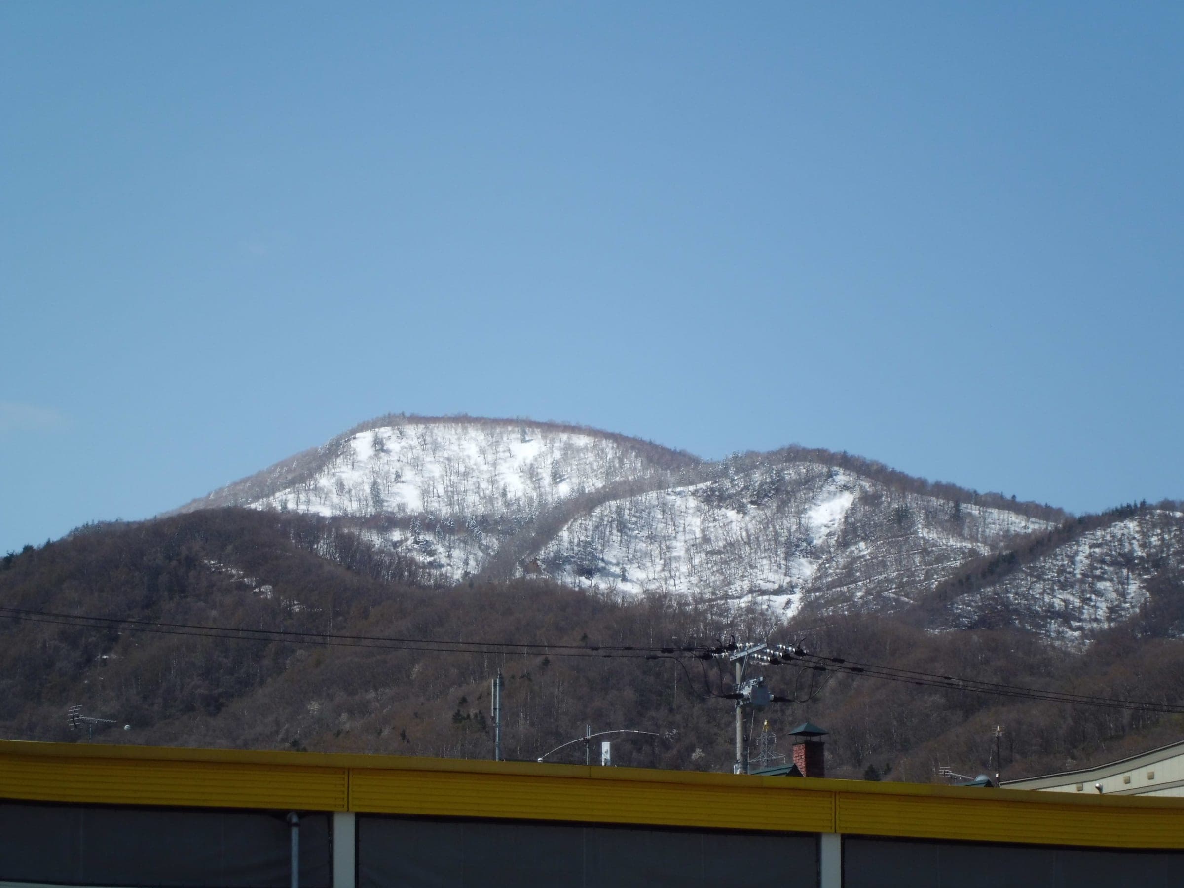
The highest point in Sapporo city rises straight behind Kiroro, and the classic tour climbs 950 metres from the resort base to a wind-blasted summit plateau.
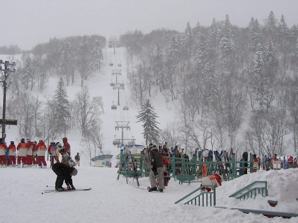
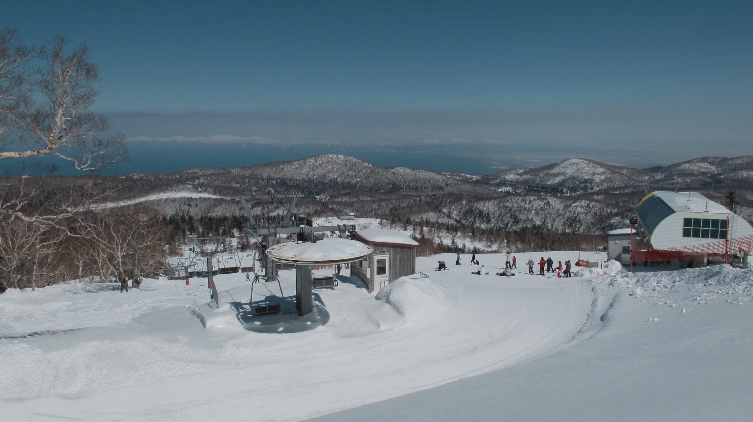
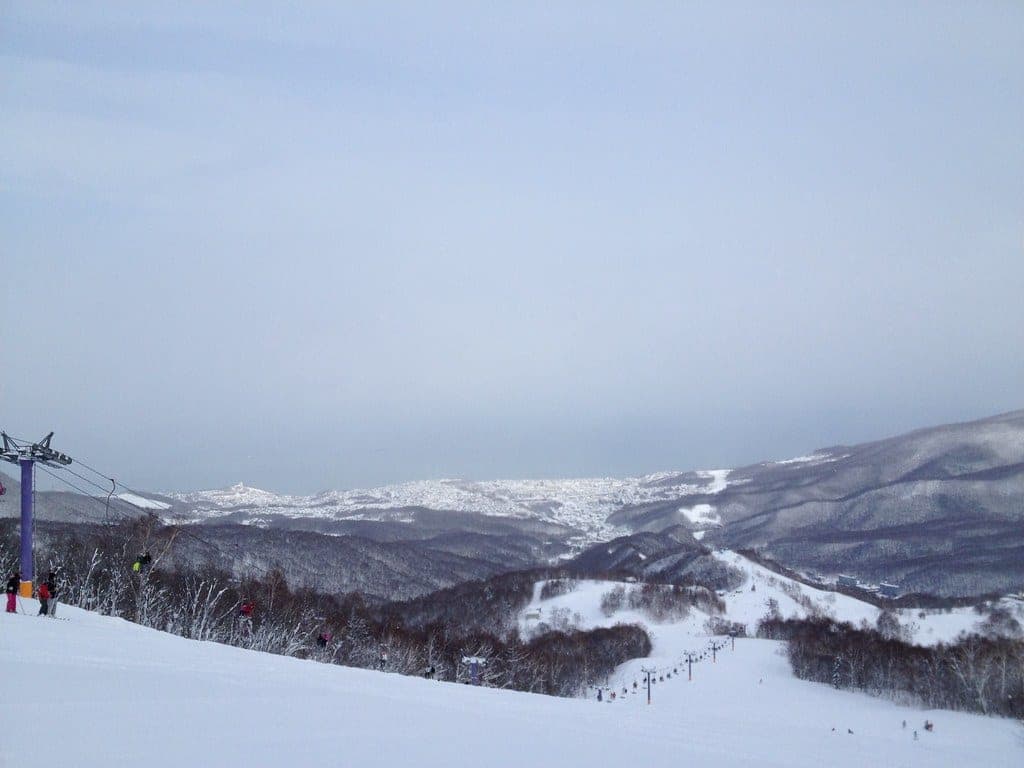
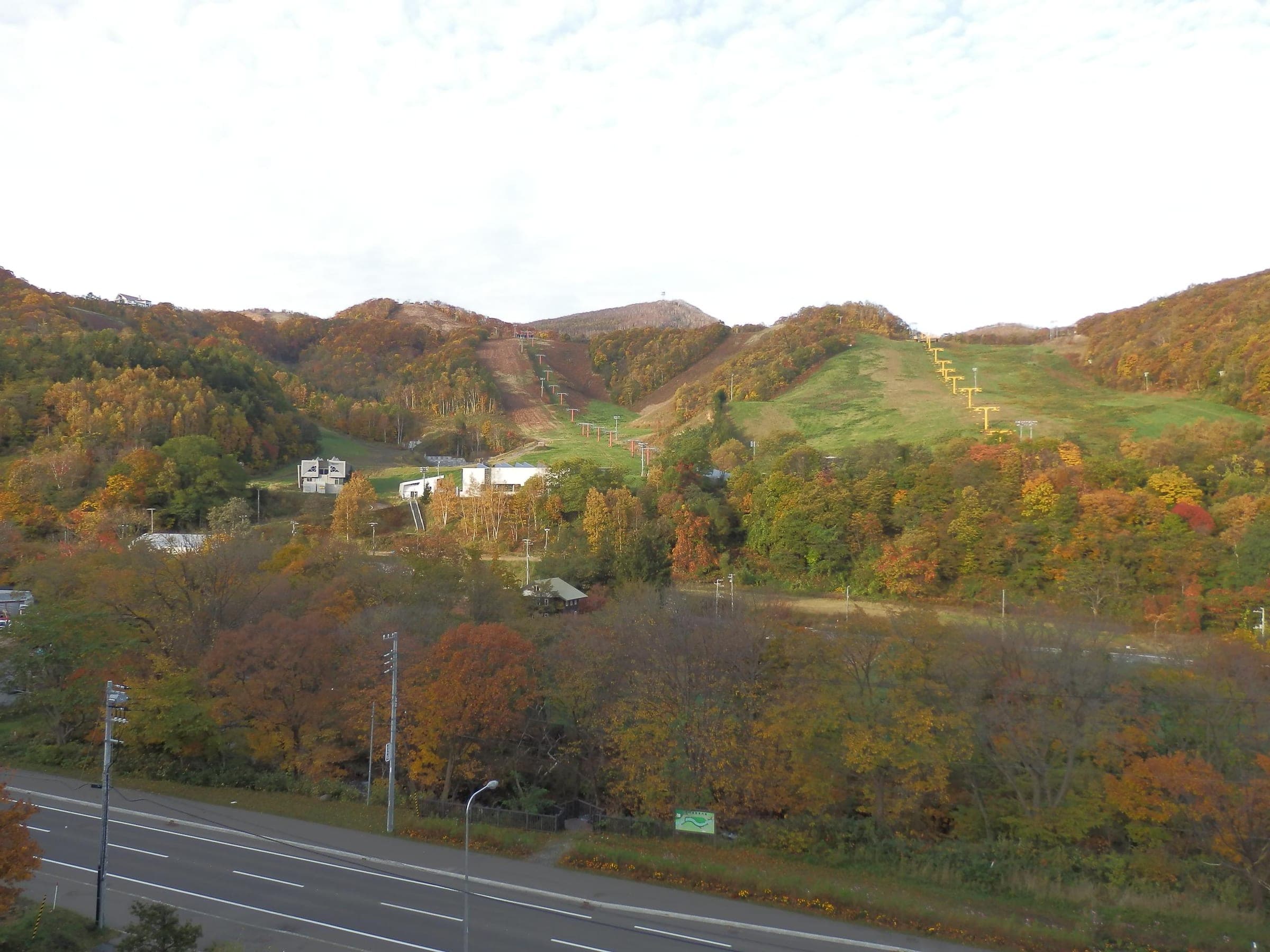
Photo アラツク · Wikimedia Commons · CC BY-SA 4.0 and others, credited in the gallery
Read the terrain
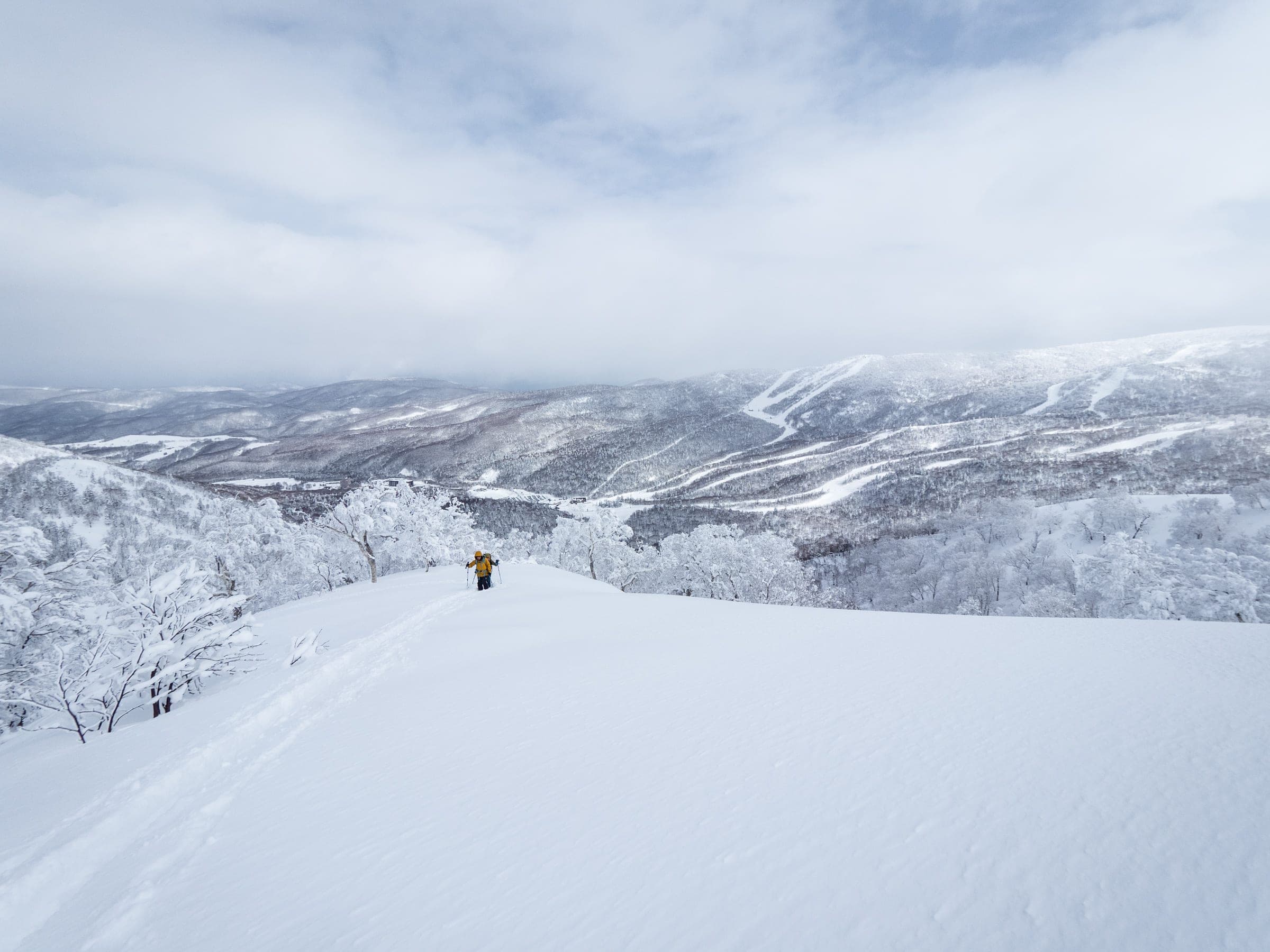
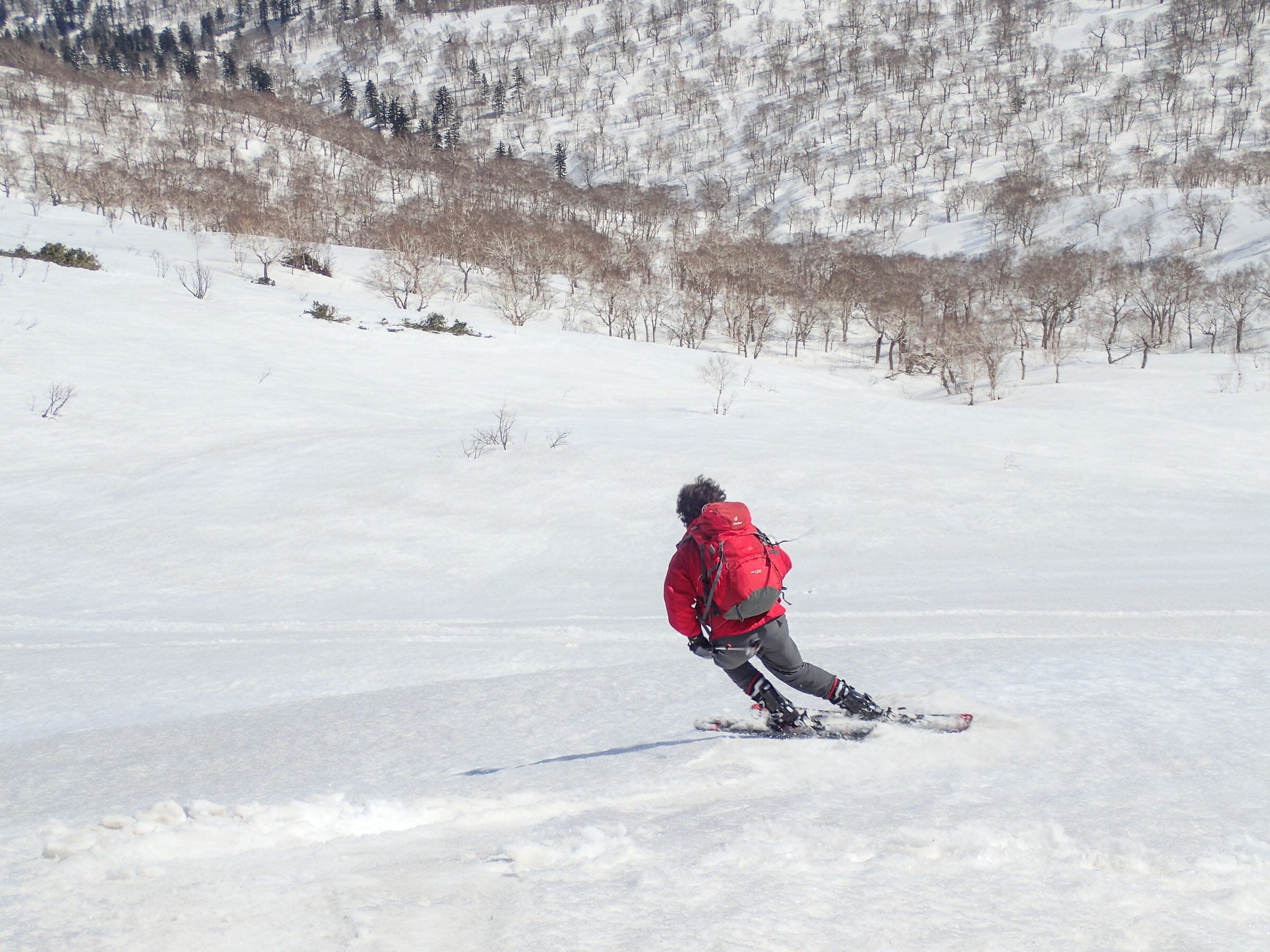
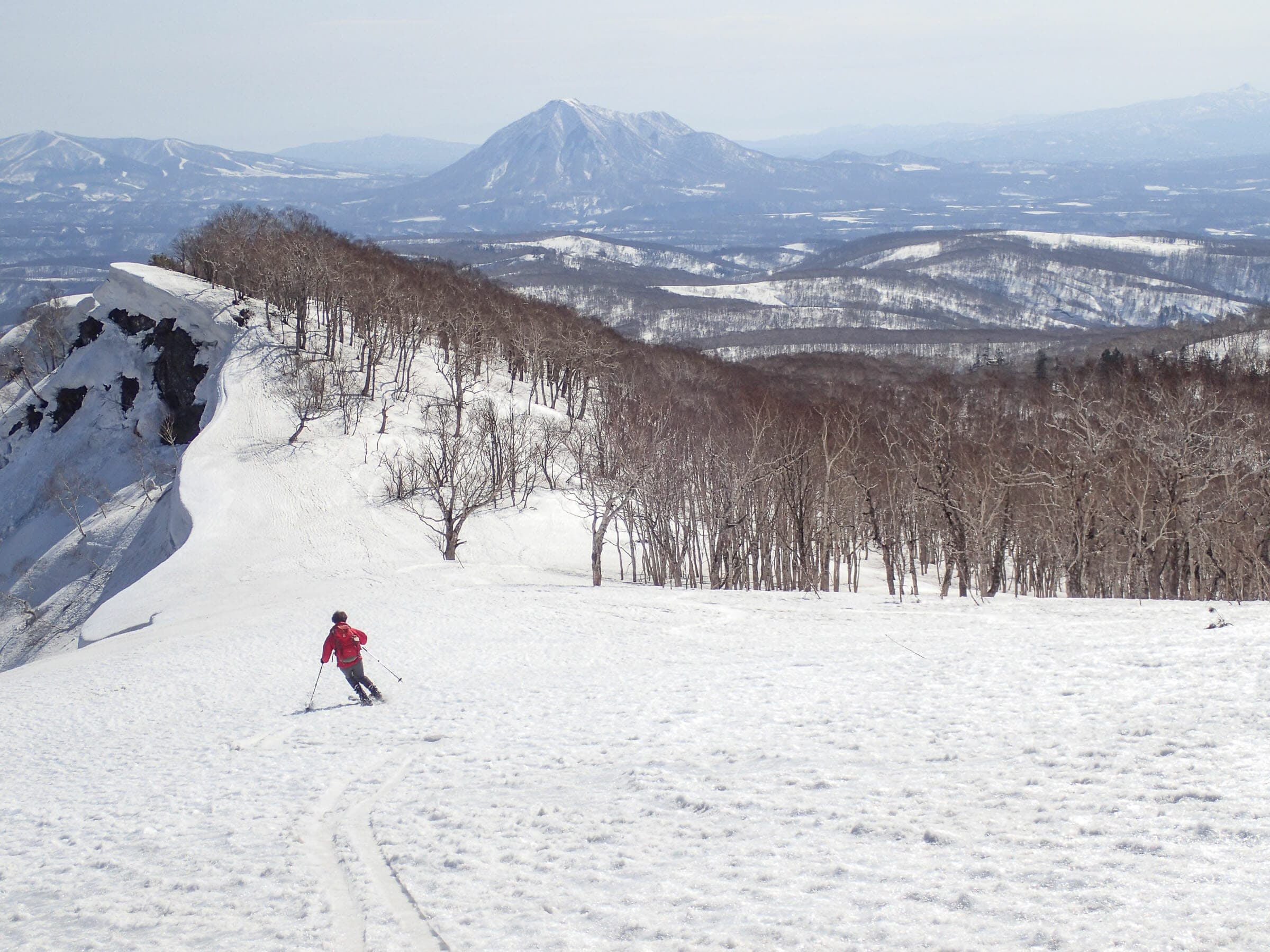
Spaced forest on the lower slopes leads to a steep, wide face, then a broad alpine ridge and a small summit plateau. The best skiing usually sits around 1,300 m, and a north-facing bowl drops off the ridge from about 1,350 m.
Watch for these hazards
- Whiteout on the broad upper ridge and on the Asari-dake plateau that locals call the airfield
- Wind crust and ice on the final kilometre; crampons often needed
- Avalanche terrain in the north bowl and in the gullies next to Kiroro; an avalanche killed a skier near the resort in 2021
- Ice falling from rime-coated trees in late season
- Brown bears once the snow softens in spring
Pick a route that suits the dayルート
Akaigawa route from the Kiroro base赤井川ルート
950 m ascent · advanced
Start at the bottom of the resort, follow the road and then the buried summer trail, and veer away from the resort at about 950 m. A long climbing traverse through open trees reaches the main ridge for the final steep, icy push. Hokkaido Wilds rates it 8/10 over 13.5 km.
Kiroro 1107 m and 992 m peaks
750 m ascent · advanced
Exit through the backcountry gate beside the top of the Gateway Express, follow the Yoichi River south for about 500 m and cross into the gully between the two peaks. Pick a ridge up to either top and ski back the same way. The bowls between the peaks feed deep gullies, and a fatal avalanche happened in this area in 2021.
Upper route from the top of Kiroro
advanced
The Japanese Hokkaido Yuki-yama Guide describes a shorter approach from the upper resort along the ridge from Asari Peak. Kiroro's gate rules and lift policy change from season to season, so confirm with the resort before you plan on it.
Follow the published lines in 3D立体地図
4 trip reports
What riders report from the hill山行記録
2015-04 · Hokkaido Wilds trip report
The route skirts the southwest edge of Kiroro from the base, and you file a backcountry plan at the resort first. In the author's report, published in April 2015, a late-season storm had coated the forest in ice and the ridge between Asari-dake and Yoichi-dake was wind-blown sastrugi.
Read the source2024-02-24 · Hokkaido Wilds trip report
A windless knee-deep dump drew the party to the gate beyond the Mountain Gateway lift, across the Yoichi river and up the east ridge of the 1,107 m peak. The bowls between the peaks are avalanche terrain that funnels into deep gullies.
Read the source2026-03 · Hokkaido Wilds SAR analysis
A government count in 2024/25 put about 127 people a day through the backcountry exit at Kiroro's top gondola station in midseason. Hokkaido Wilds works that out to about three sidecountry victims per 10,000 entries.
Read the sourceHokkaido Police SAR record (via Hokkaido Wilds)
Two skiers who left Kiroro for Yoichi-dake at 10:30 turned back in bad weather, then lost the way down in snow and fog. The police mountain rescue team brought them out.
Read the source
Go with a guideガイド
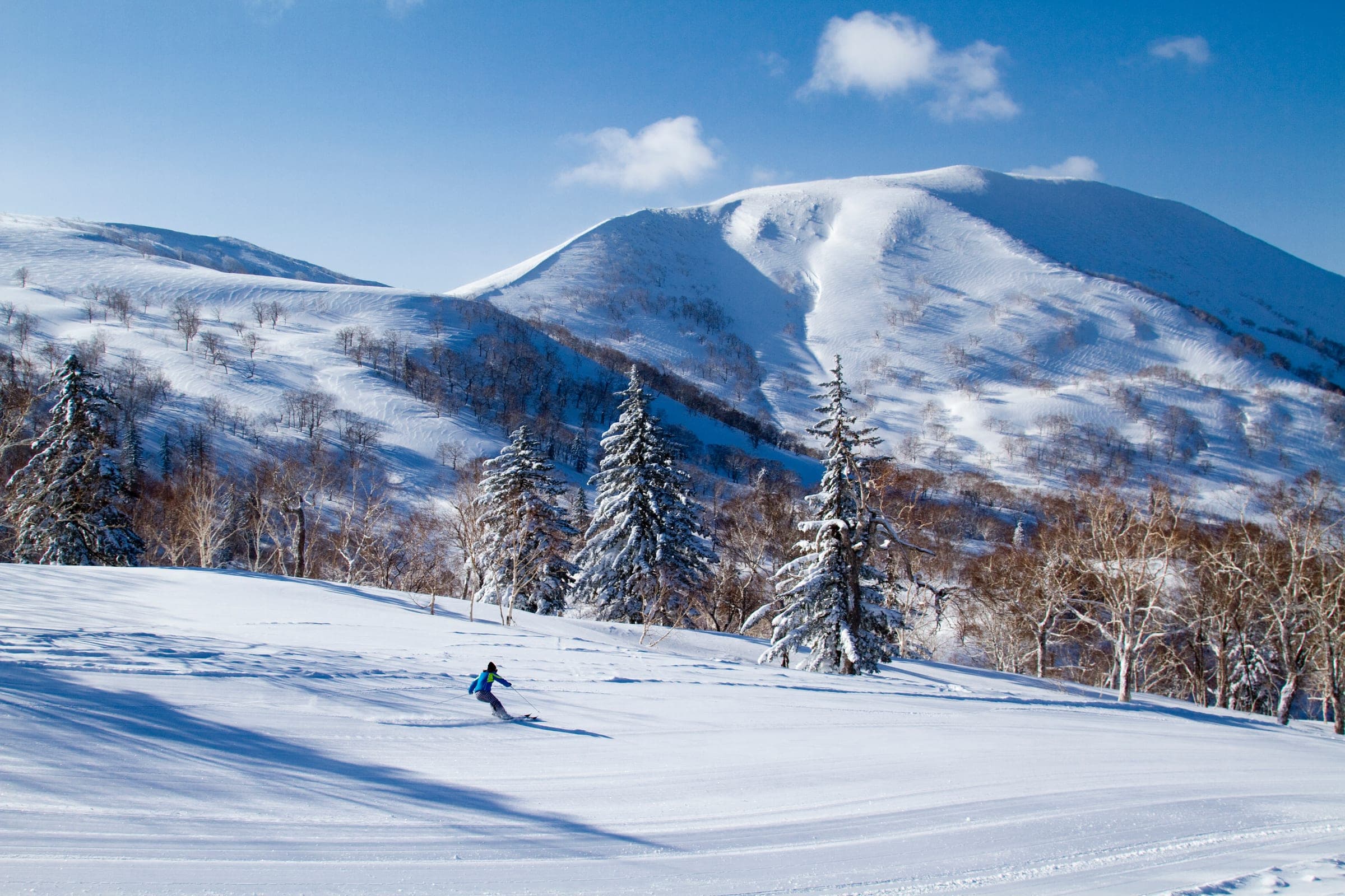
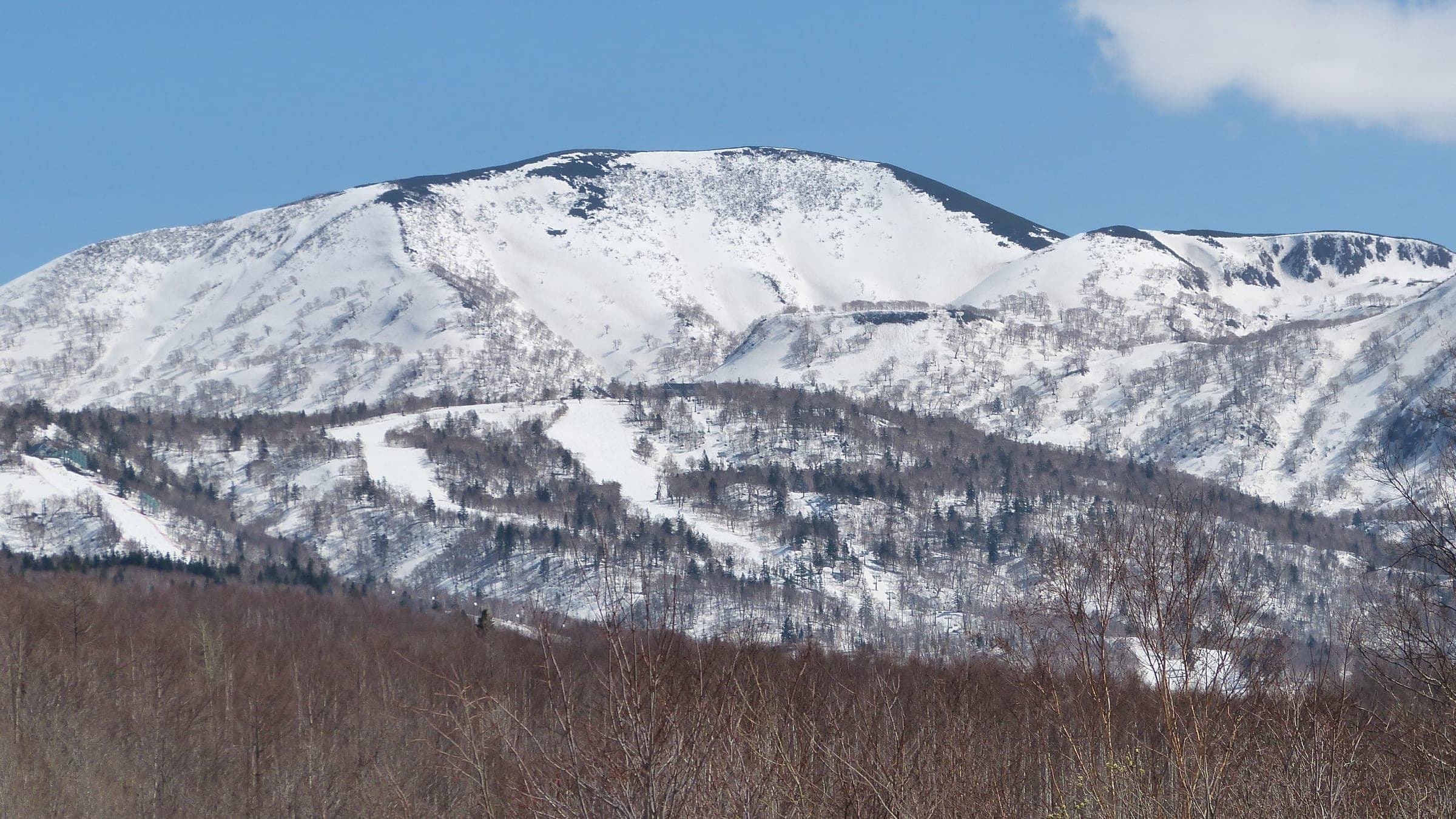
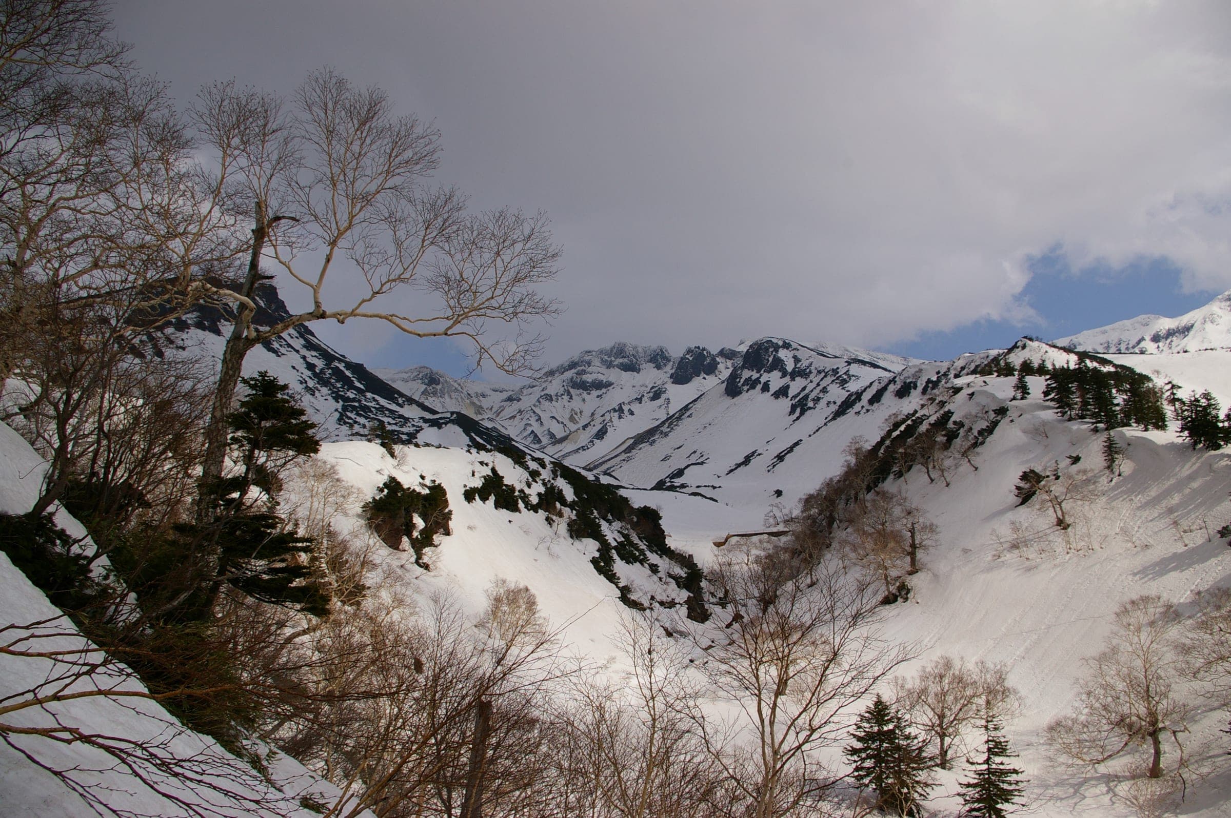
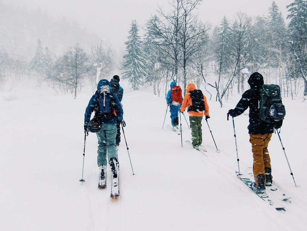
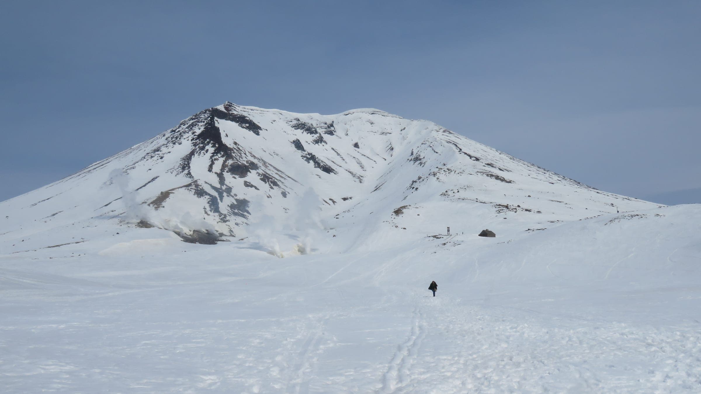

Yoichi-dake is the highest point in Sapporo city at 1,488 metres, and Kiroro sits in its lap. With Asari-dake and Shirai-dake it makes up the Yoichi Three Peaks. Skiers first stood on the summit in winter in 1920. The standard route today leaves from the lowest buildings at Kiroro and climbs 950 metres over about thirteen kilometres.
The climb follows the resort road and then the line of the summer trail through spaced forest. Above 1,000 metres a long rising traverse brings you onto the main ridge. The last kilometre to the top is exposed and often icy enough for crampons, so most parties ski from around 1,300 metres where the snow is better. The north-facing bowl off the ridge from about 1,350 metres is the prize run. It is avalanche terrain, and Hokkaido Wilds suggests a compression test before you commit.
A clear forecast decides the day here, and in deep winter it rarely comes. Spring gives you firm snow and six hours car to car; in January plan on seven or eight and start in the dark. In 2020 police rescued two riders who had set out from Kiroro for the summit. They turned back in a storm and then lost the way down in fog. Kiroro wants everyone heading out from the resort to leave through a designated gate with a climbing plan already filed with Hokkaido Police. Hiking up inside the boundary is banned, and lift staff have turned away skiers looking for a free ride back up.
Quick answers about Yoichi-dakeよくある質問
How long is a tour on Yoichi-dake?
A typical tour on Yoichi-dake climbs 950 m from the Kiroro base; 750 m for the shorter 1107 m peak and takes 6 hours in firm spring snow; 7–8 hours December to February.
When can you ski tour Yoichi-dake?
The touring season on Yoichi-dake runs december to May; the summit push goes best on clear, firm days from March.
Do you need a guide for Yoichi-dake?
We recommend a certified guide for Yoichi-dake unless your group can read the snowpack and run its own rescue.
Where do you check avalanche danger for Yoichi-dake?
Read the day's bulletin from Japan Avalanche Network (https://nadare.jp/) before every tour on Yoichi-dake.
Within 30 km
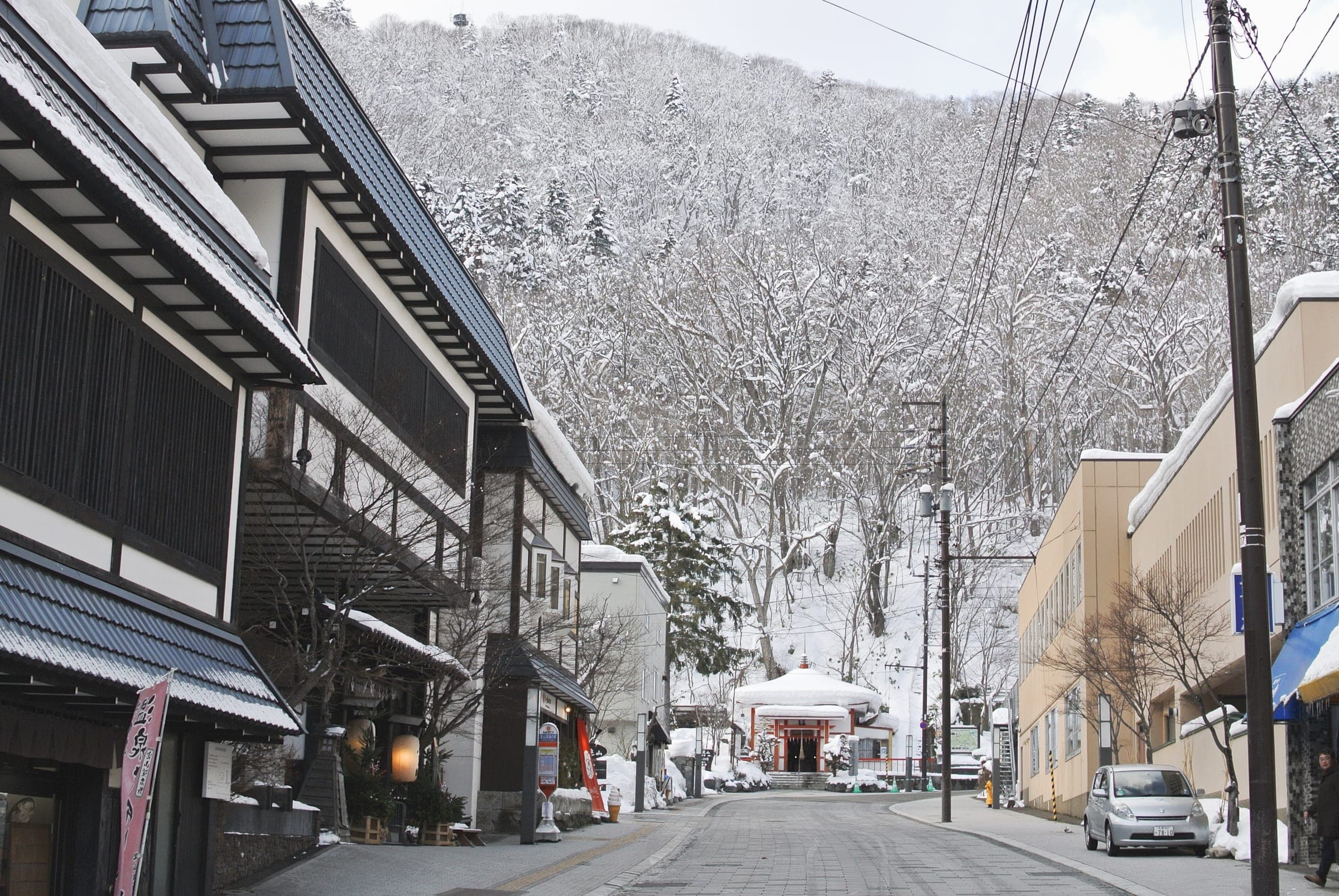
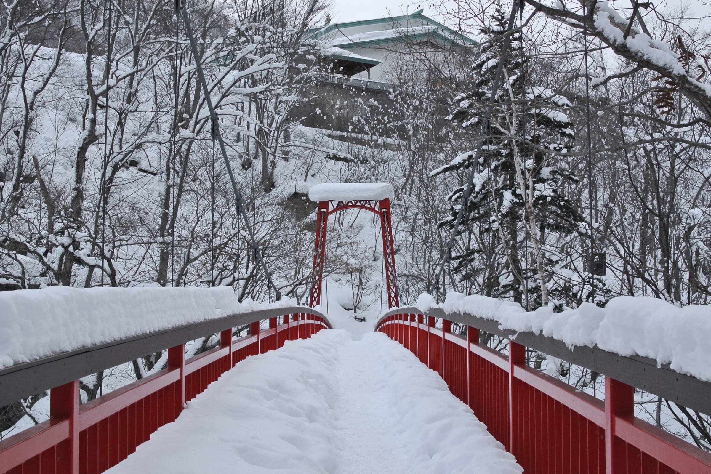
Hot springs nearby温泉
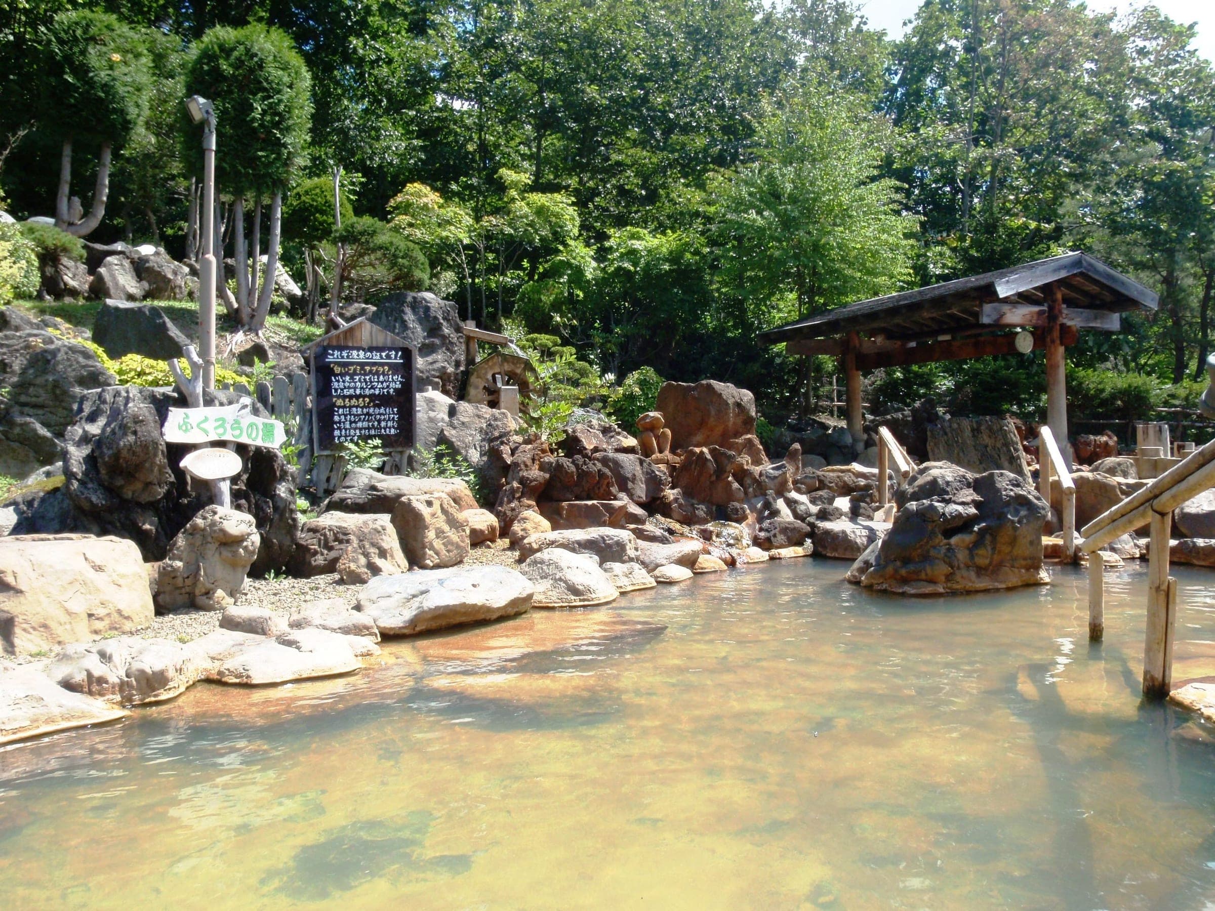
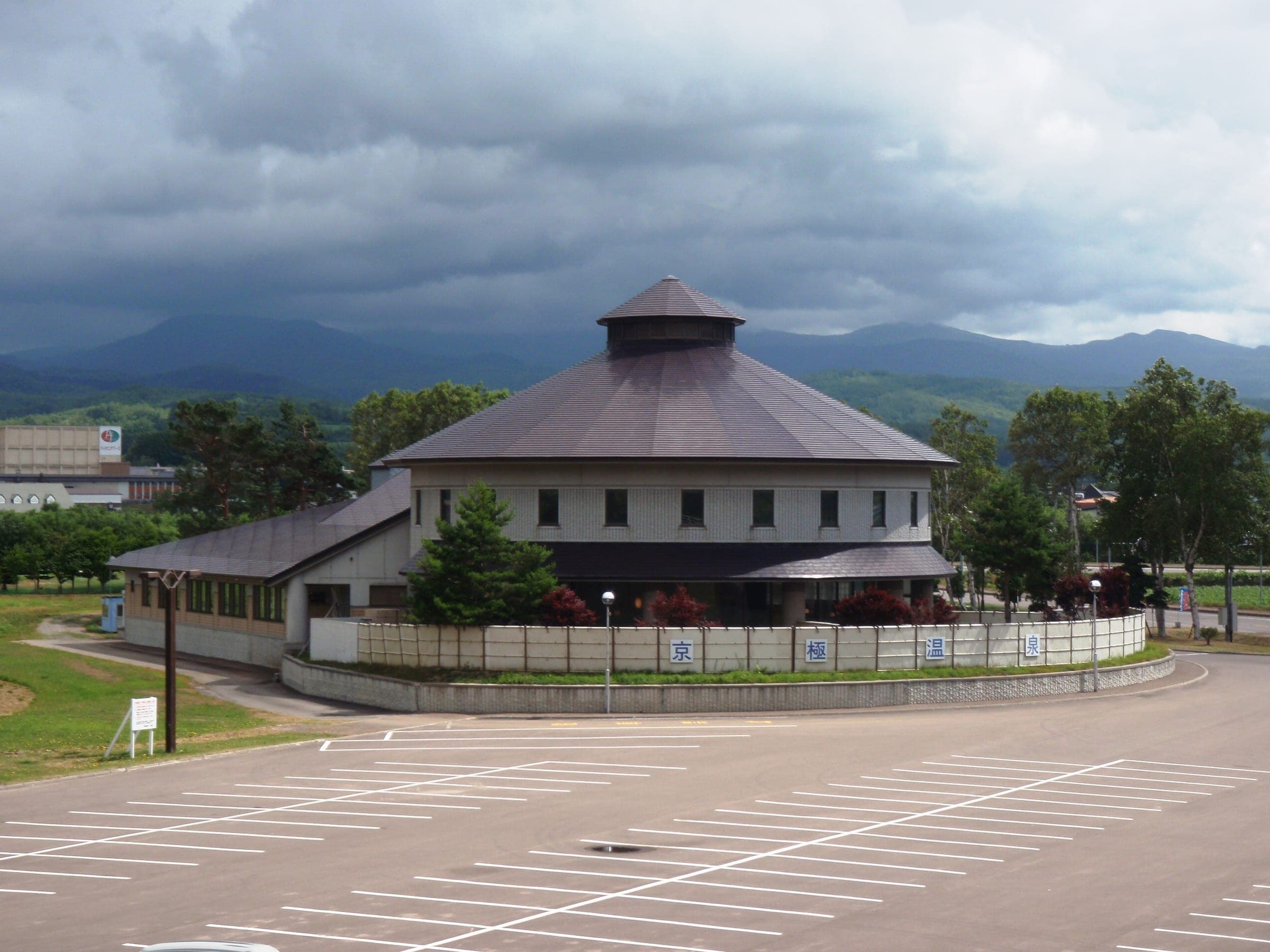
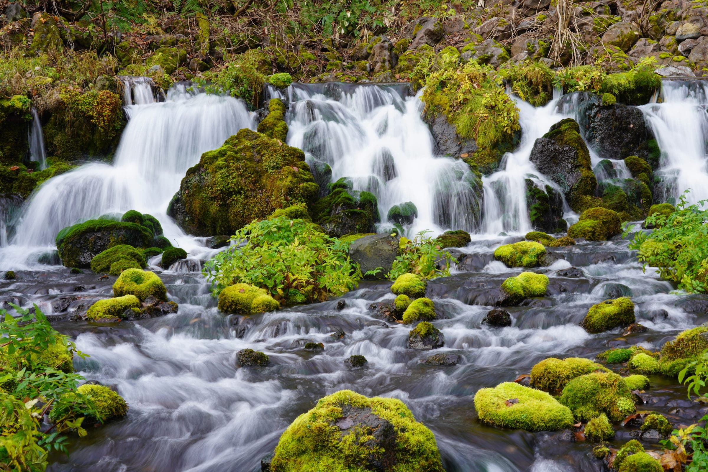
Within 40 km
Ski resorts nearby山
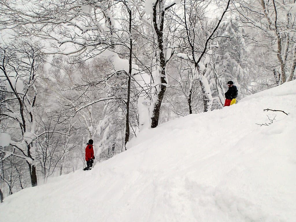
Within 80 km
Backcountry zones nearby山スキー
Within 35 km
Places to stay nearby宿
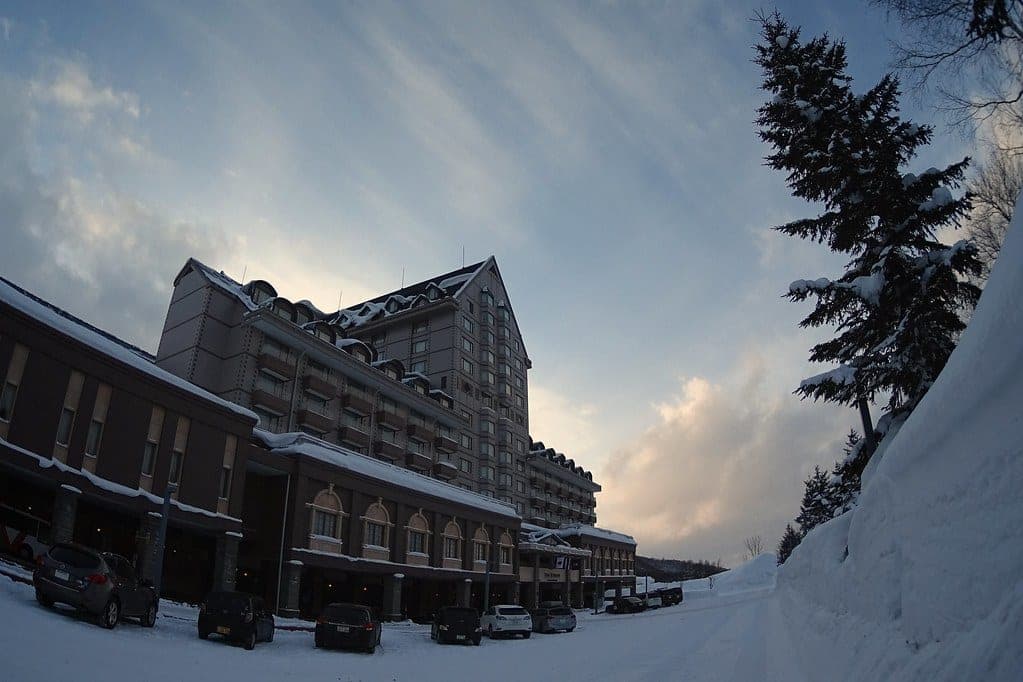
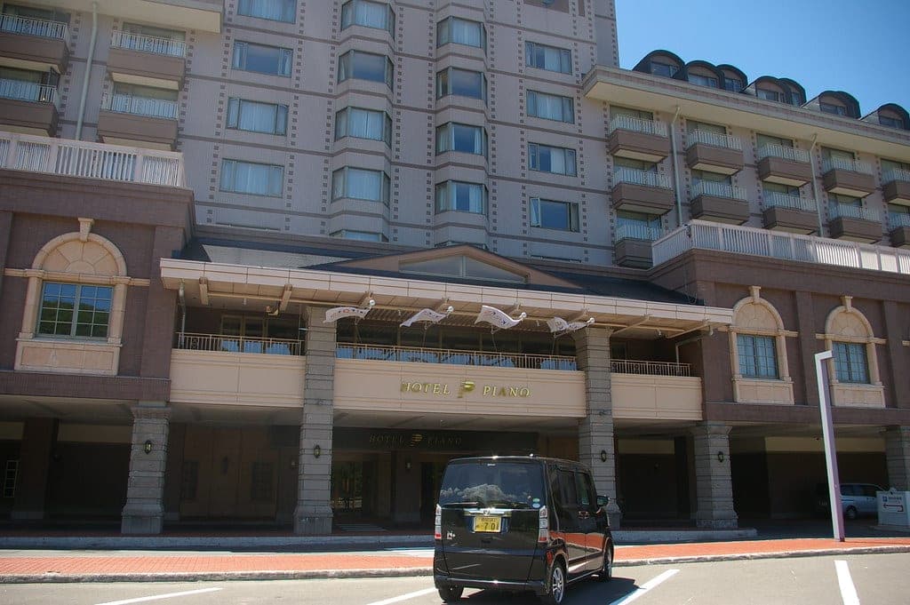
Within 35 km