Raiden-yama
雷電山42°54′ N 140°28′ Eadvanced1,211 mGuide recommended
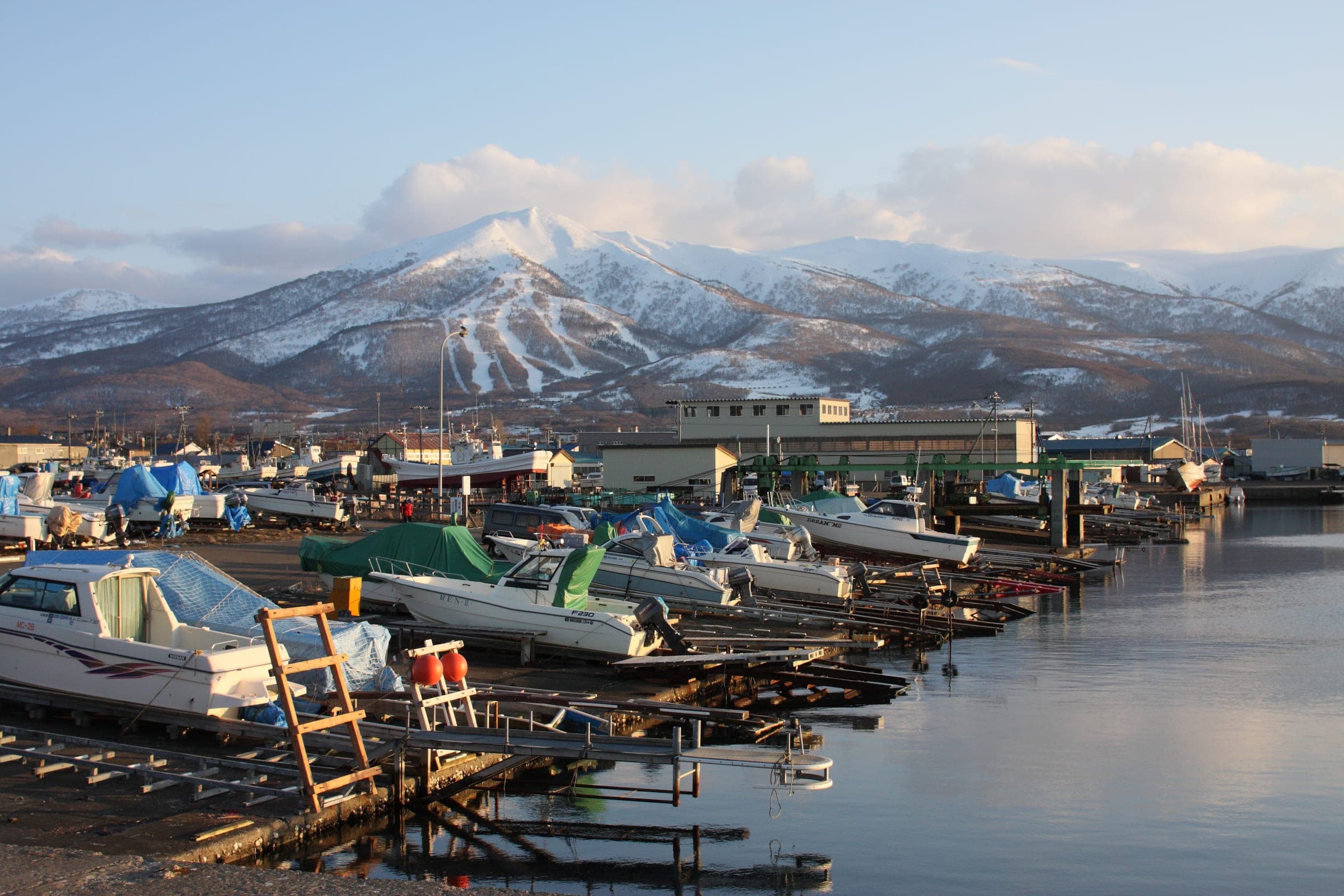
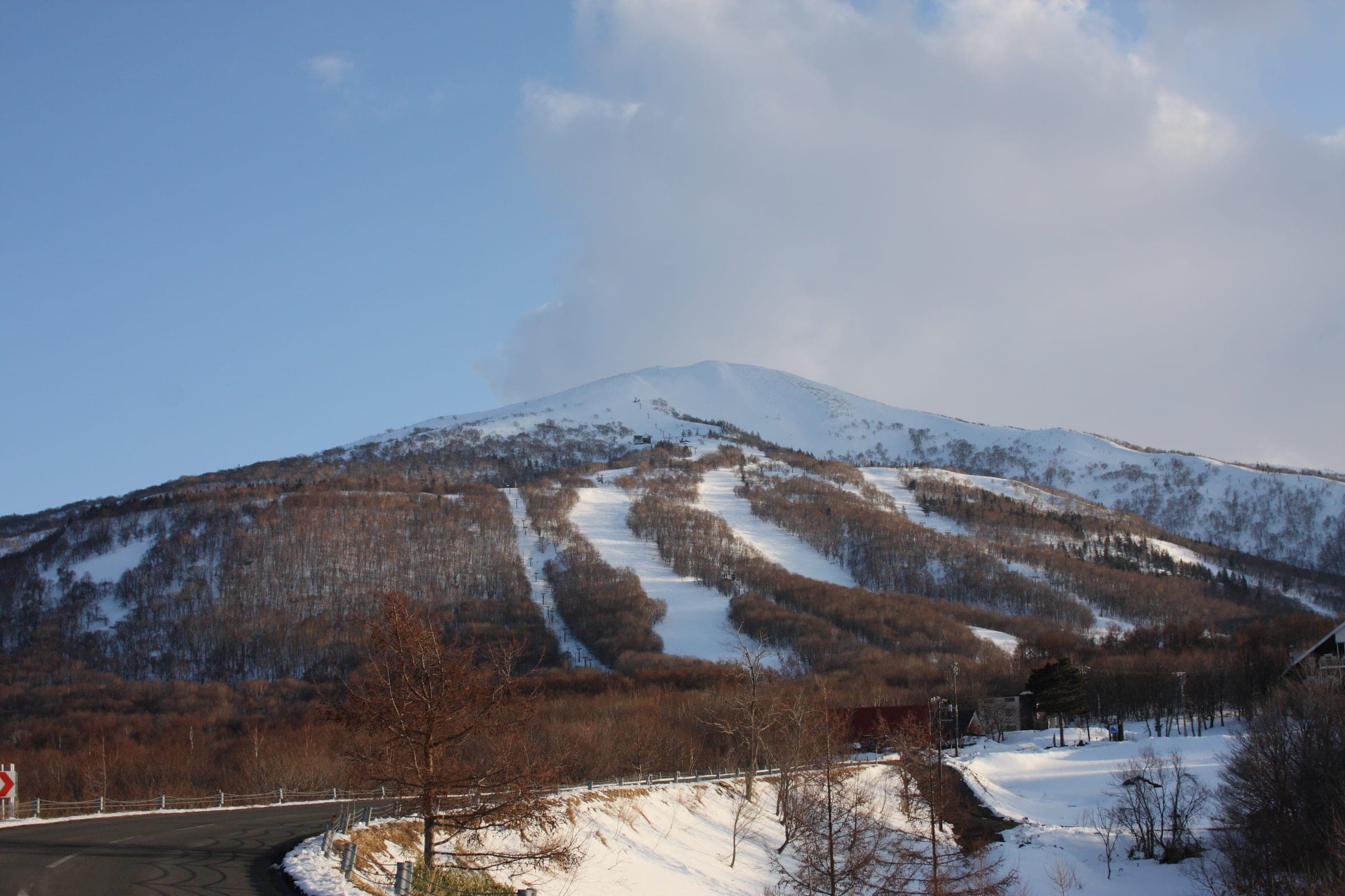
Raiden-yama anchors the western end of the Niseko Range above the Sea of Japan, and its long climbs from near sea level end on a wide plateau that disappears in coastal cloud.
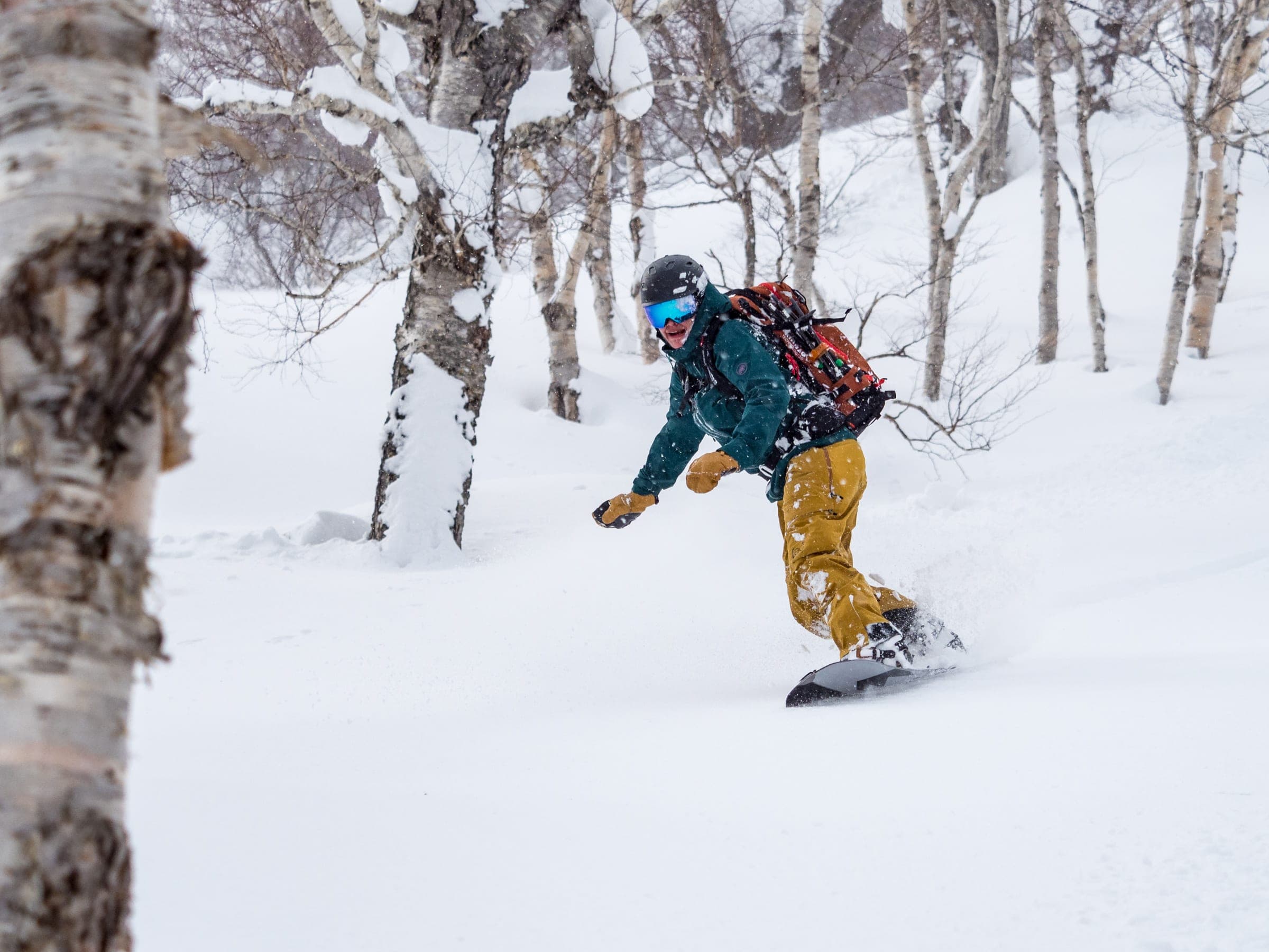
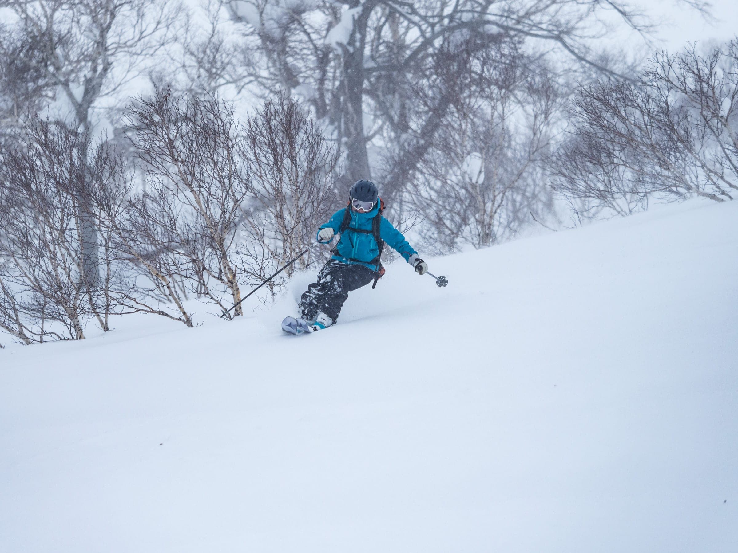
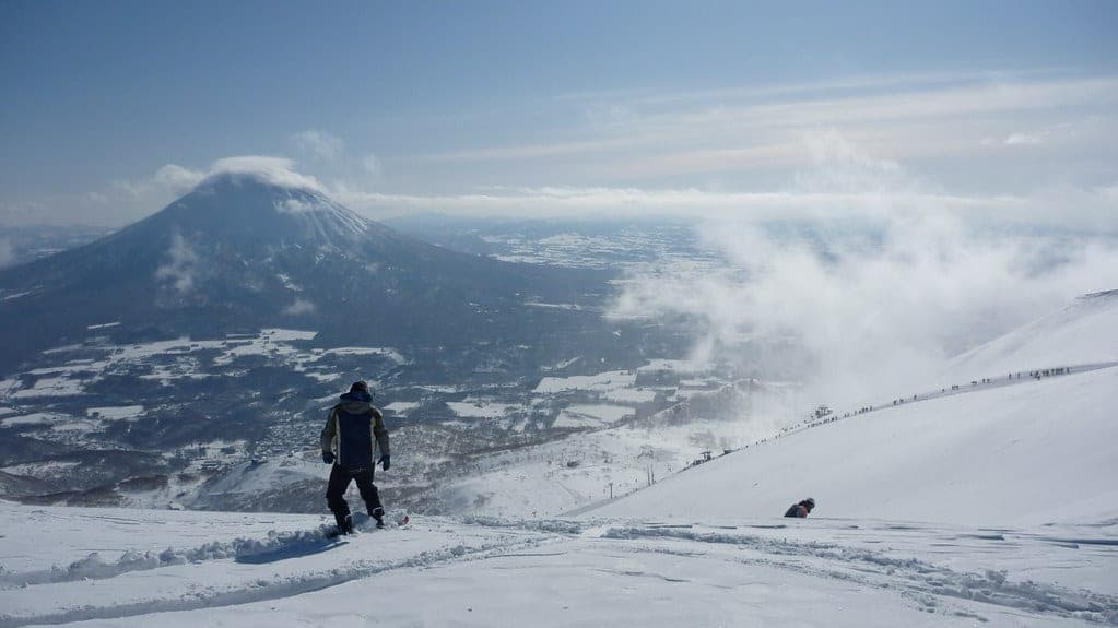
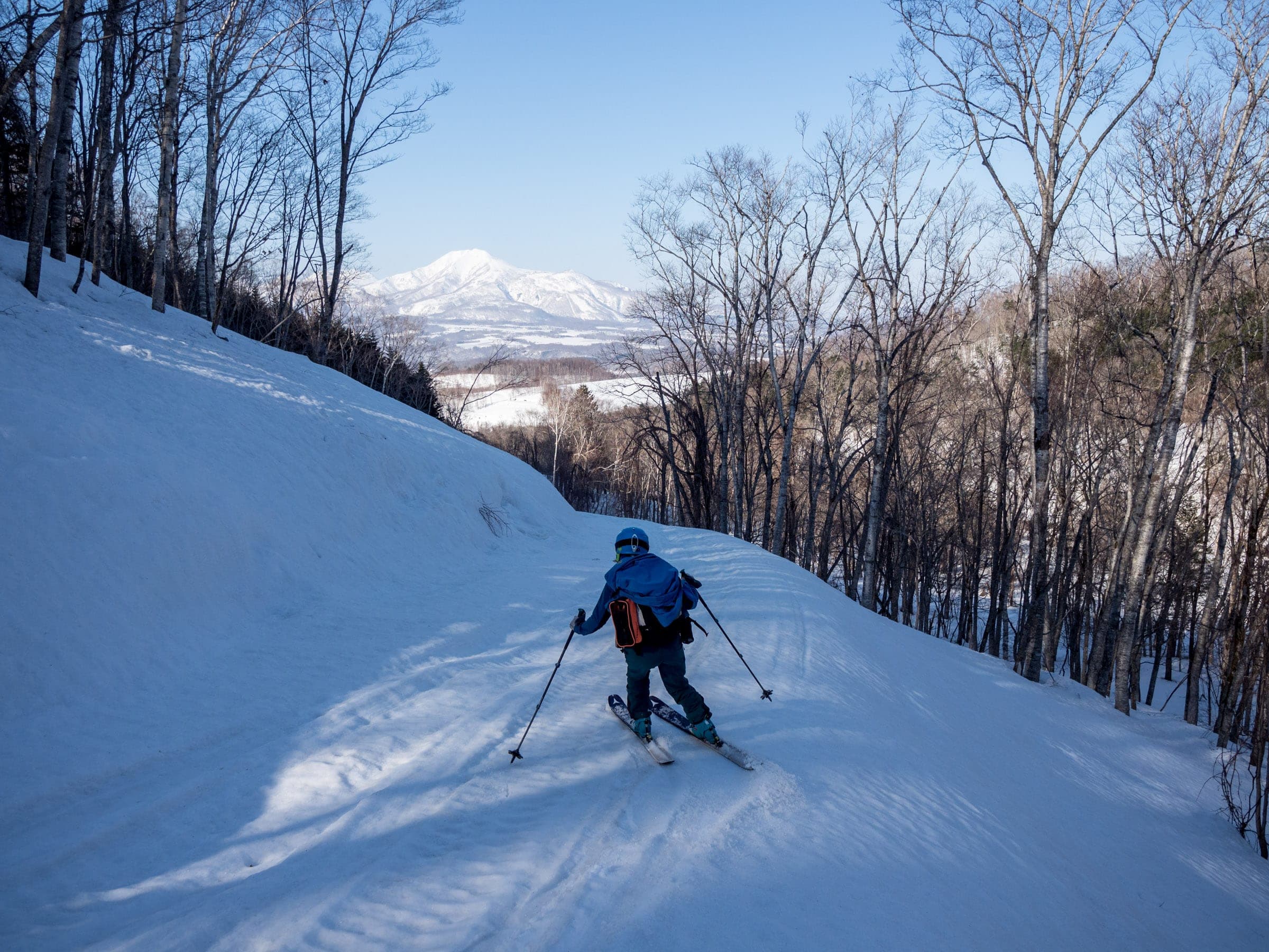
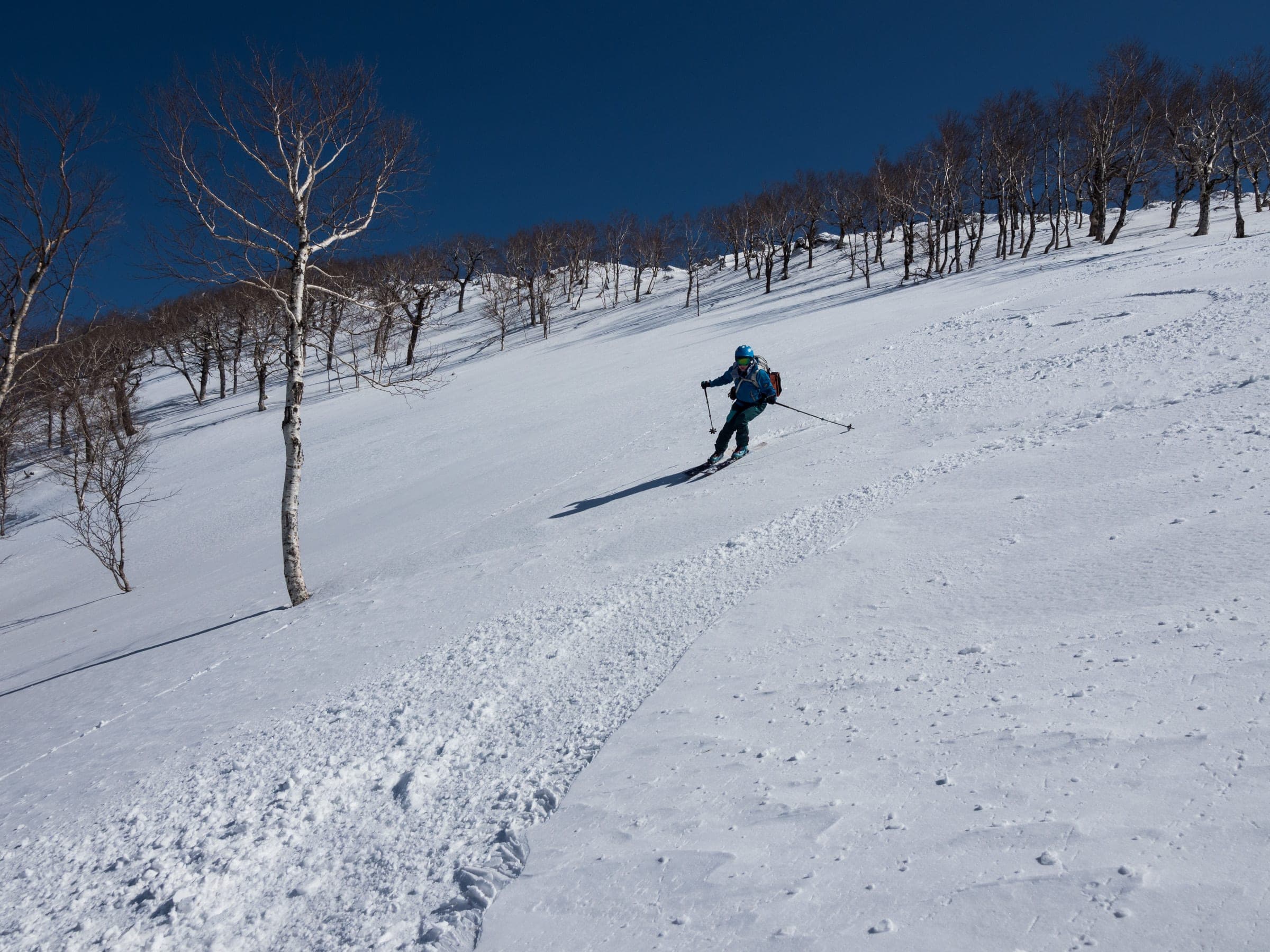
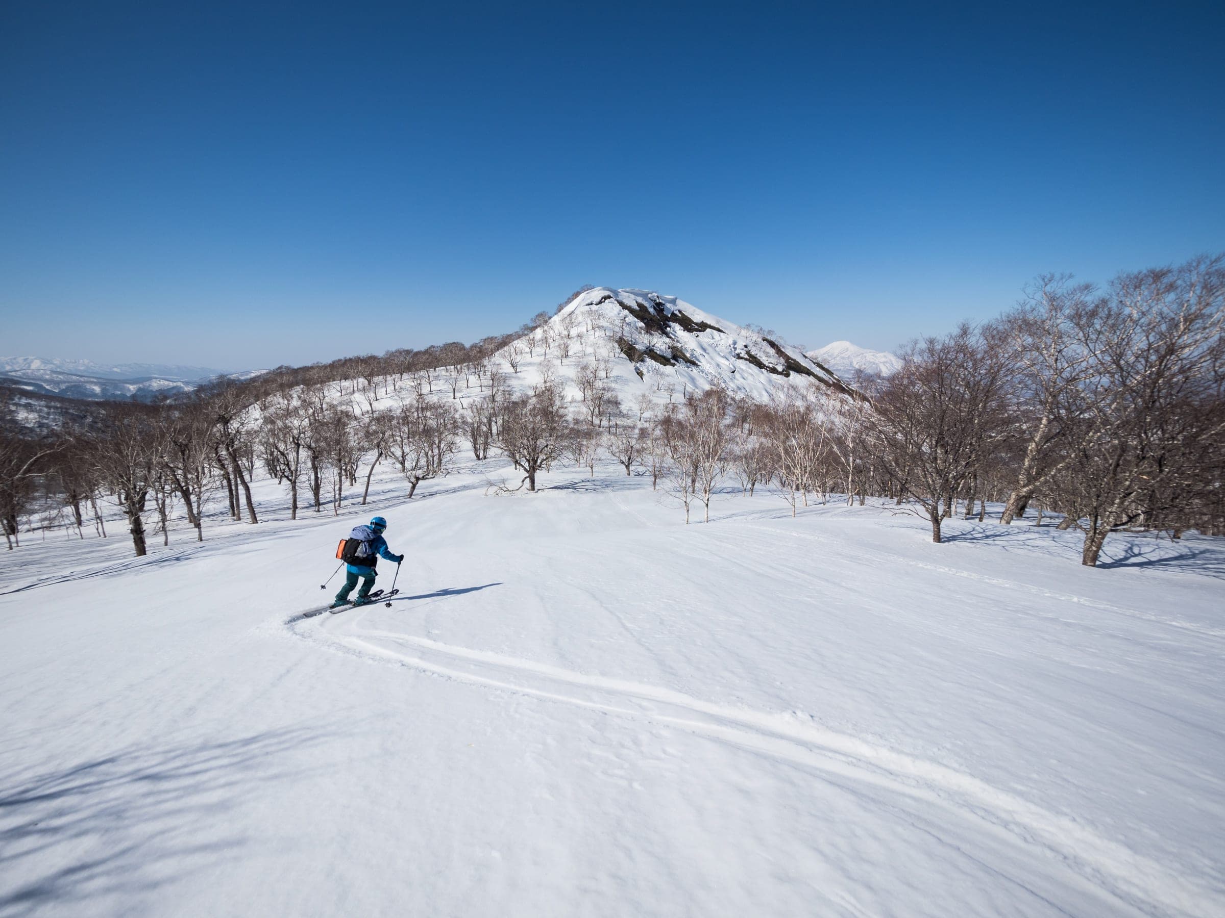
Photo Rob Thomson / Hokkaido Wilds · Publisher's own site · CC BY-SA 4.0 and others, credited in the gallery
Read the terrain
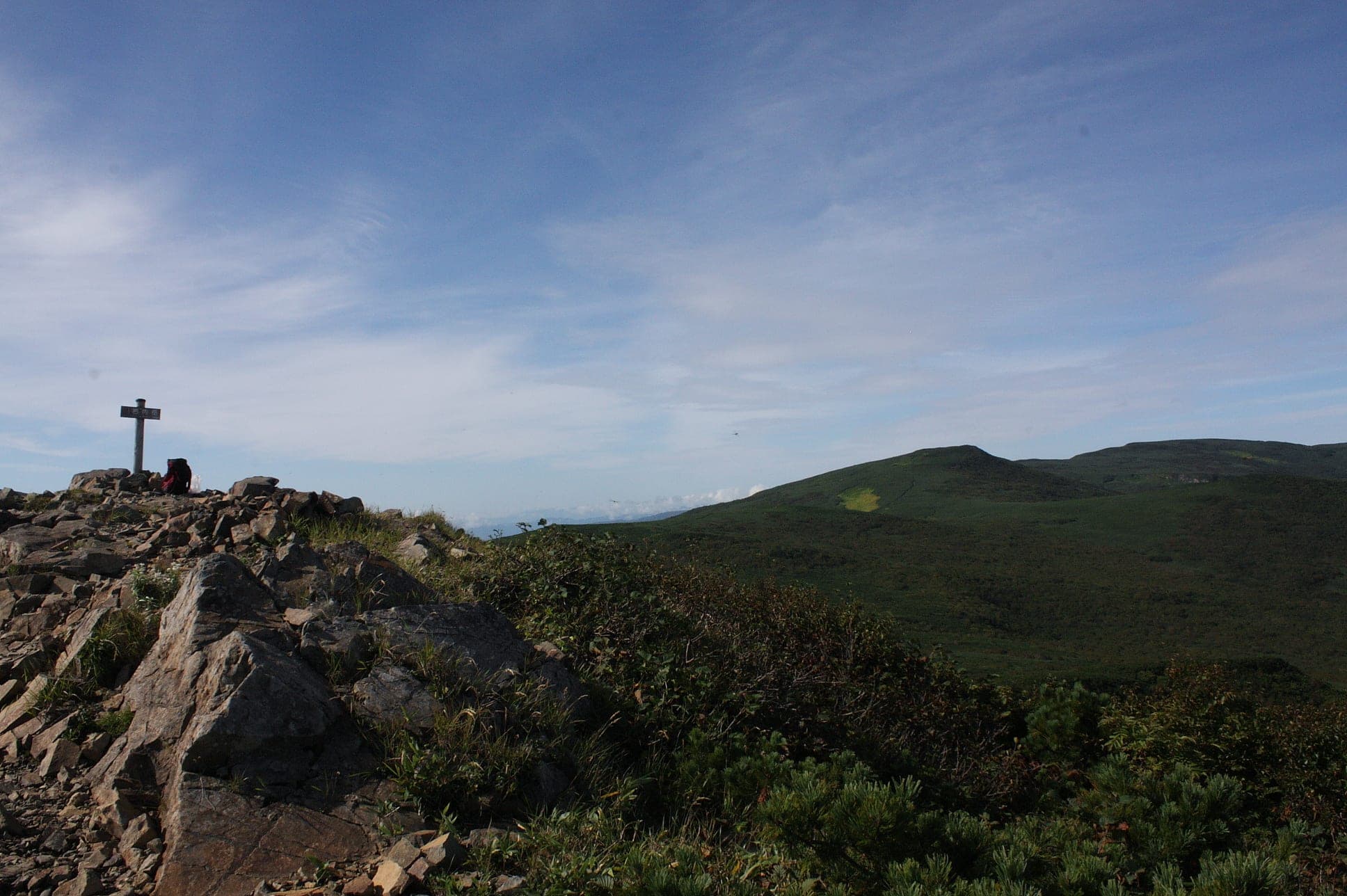
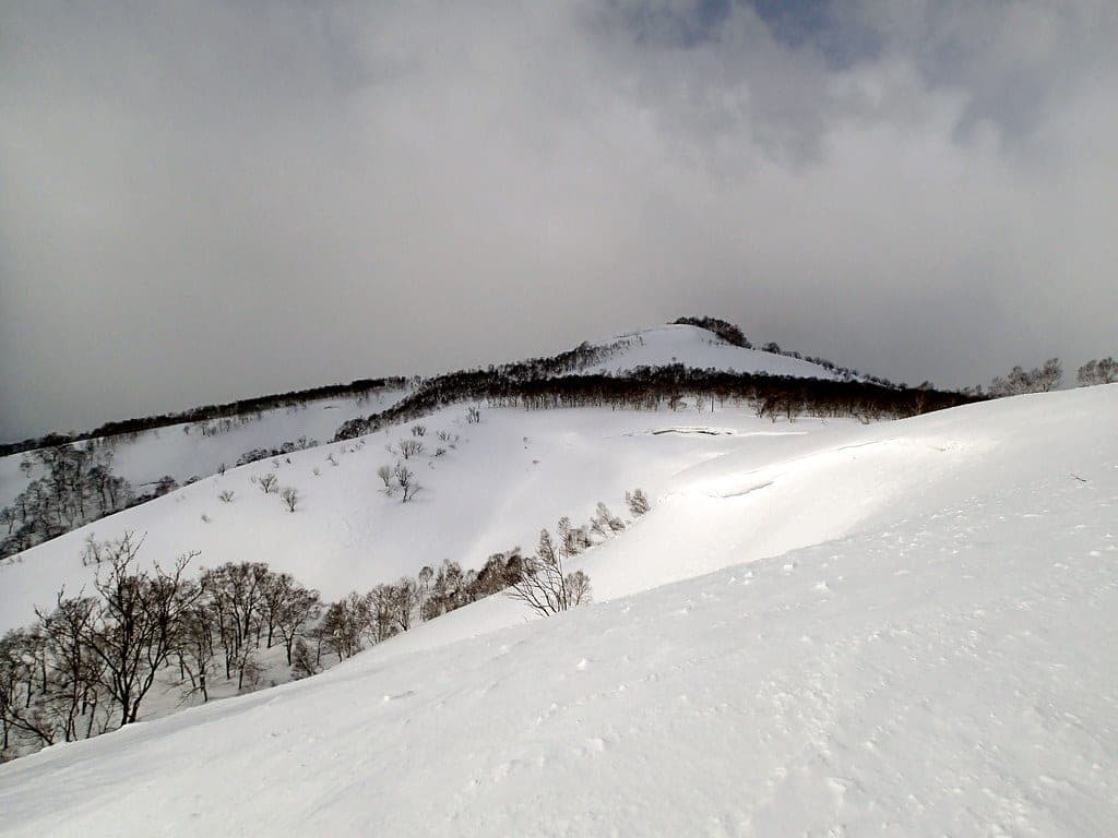
Raiden-yama is the broad western end of the Niseko Range above the Sea of Japan coast. Long approaches from near sea level lead up to a wide, featureless summit plateau, and the descents follow the same ridges back toward the sea.
Watch for these hazards
- A featureless summit plateau that is hard to navigate in cloud
- Coastal storms that arrive fast off the Sea of Japan
- Snowmobiles on the Sabo Dam access road
- Long approaches from near sea level, so a late start leaves little margin
Pick a route that suits the dayルート
North Ridge
1,100 m ascent · advanced
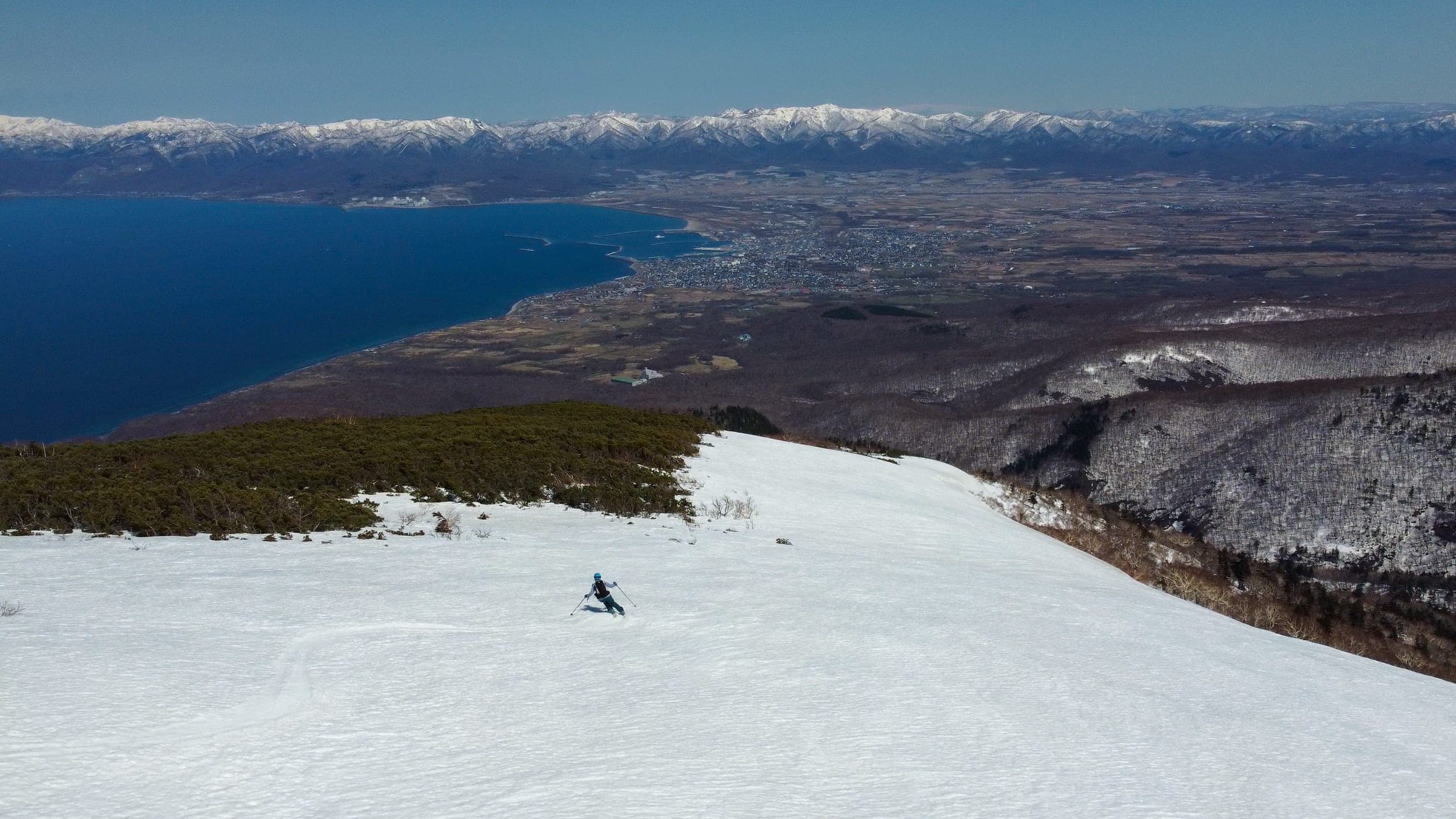
From the Iwanai waste facility the ridge climbs 13.5 km round trip to the summit plateau in about six hours. Ride it in March and April when the days are long.
Sabo Dam route
995 m ascent · advanced
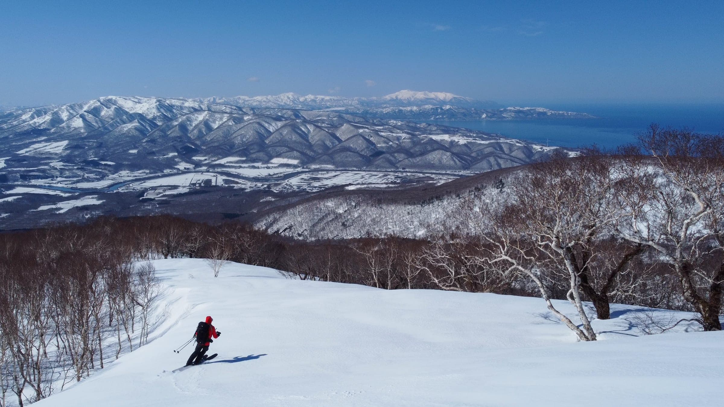
From the Kokkuri-ko access road on the south side the route climbs 12.5 km round trip to the 1,046 m point in about four hours. It skis south-facing slopes from January to April.
Follow the published lines in 3D立体地図
3 trip reports
What riders report from the hill山行記録
2022-04-16 · Hokkaido Wilds trip report
With spring melt under way the party fought sasa for half an hour to gain the ridge. The Raiden plateau is windpacked in midwinter and gave perfect spring snow, and the lowest fifth of the ridge is a maze of thick trees.
Read the source2022-03-31 · Hokkaido Wilds trip report
After warm days and freezing nights at the end of March the author started at 5:30 am and was skiing by 9 on a hard, even surface. Keep to skier's right on the way down, as the ridge pulls you left into confusing ground.
Read the source2022-03-26 · Hokkaido Wilds trip report
On the second day of a two-day traverse the wind picked up on the way to Raiden and was howling across the summit plateau. The main ridge down toward the sea gave the longest descent of the trip, with about 300 m of good spring snow before it turned to a hot, sticky mess in the trees.
Read the source
Raiden-yama sits where the Niseko Range meets the sea. Both main routes start close to sea level, so the 1,211 m summit asks for more climbing than its height suggests. The North Ridge leaves the road end at Iwanai's waste facility and gains about 1,100 m over 13.5 km. Allow six hours, and save it for March and April.
The south side opens earlier. The Sabo Dam route starts on the Kokkuri-ko access road at 36 m and climbs 995 m to a 1,046 m point in about four hours, and it skis from January to April. Share the lower road with snowmobiles.
Weather is the hazard that matters most here. Storms come straight in off the water, and the summit plateau has nothing on it to steer by once the cloud drops. Carry a GPS track and turn around early. Haute Route parties cross the Raiden plateau on their way down to Shikishimanai.
Quick answers about Raiden-yamaよくある質問
How long is a tour on Raiden-yama?
A typical tour on Raiden-yama climbs about 1,000–1,100 m and takes 4–6 hours.
When can you ski tour Raiden-yama?
The touring season on Raiden-yama runs january to April from the south; March and April for the North Ridge.
Do you need a guide for Raiden-yama?
We recommend a certified guide for Raiden-yama unless your group can read the snowpack and run its own rescue.
Where do you check avalanche danger for Raiden-yama?
Read the day's bulletin from Japan Avalanche Network (https://nadare.jp/) before every tour on Raiden-yama.
Within 30 km
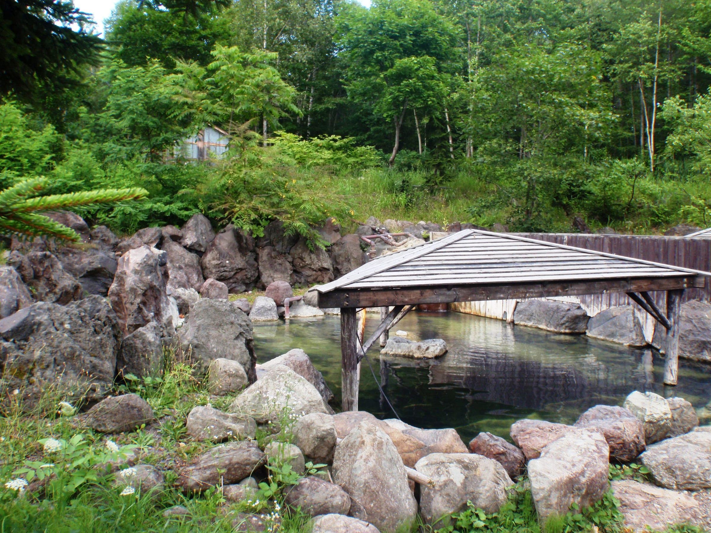
Hot springs nearby温泉
Within 40 km
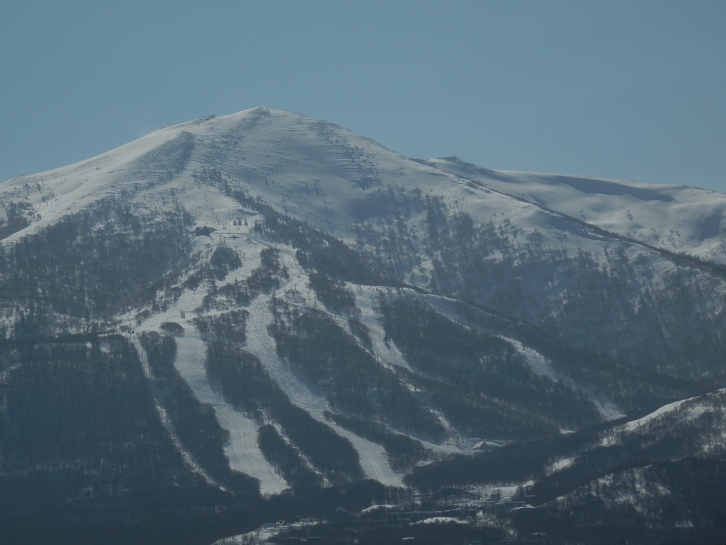
Ski resorts nearby山
Within 80 km
Backcountry zones nearby山スキー

Within 35 km
Places to stay nearby宿
Within 35 km