Konbu-dake
昆布岳42°43′ N 140°39′ Eadvanced1,045 mGuide recommended
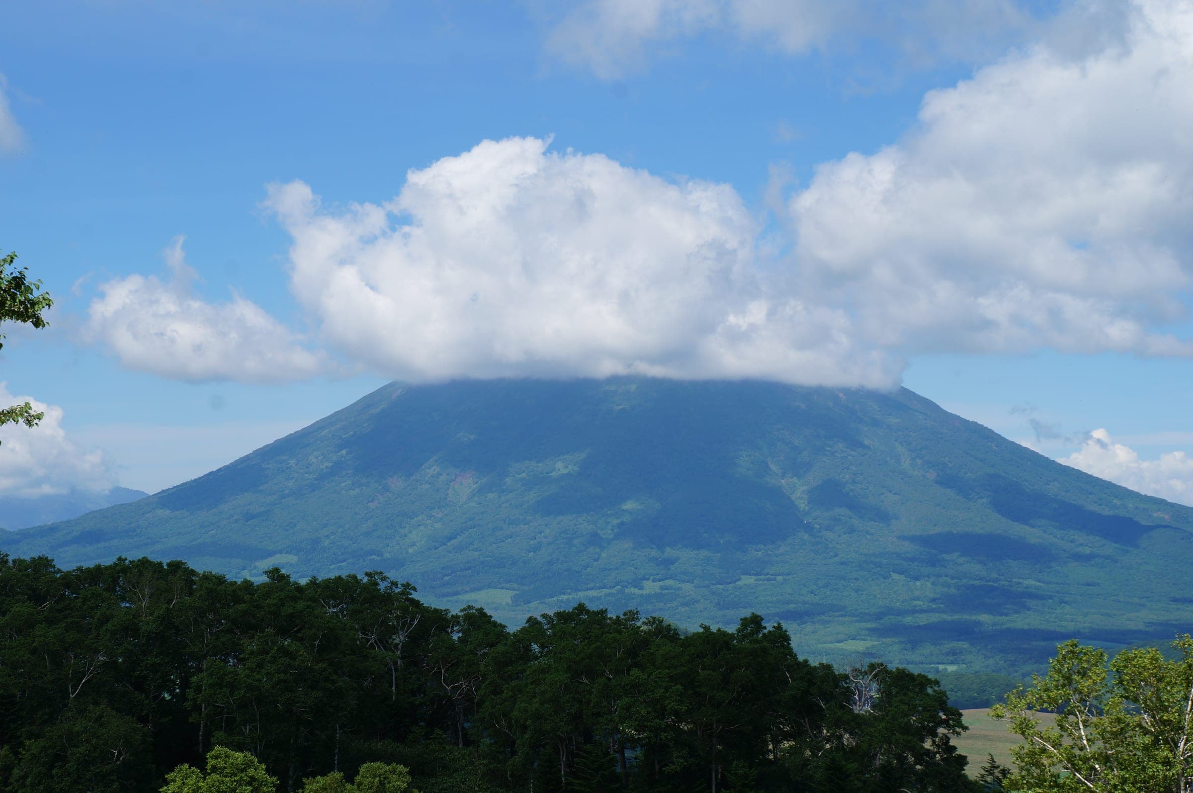
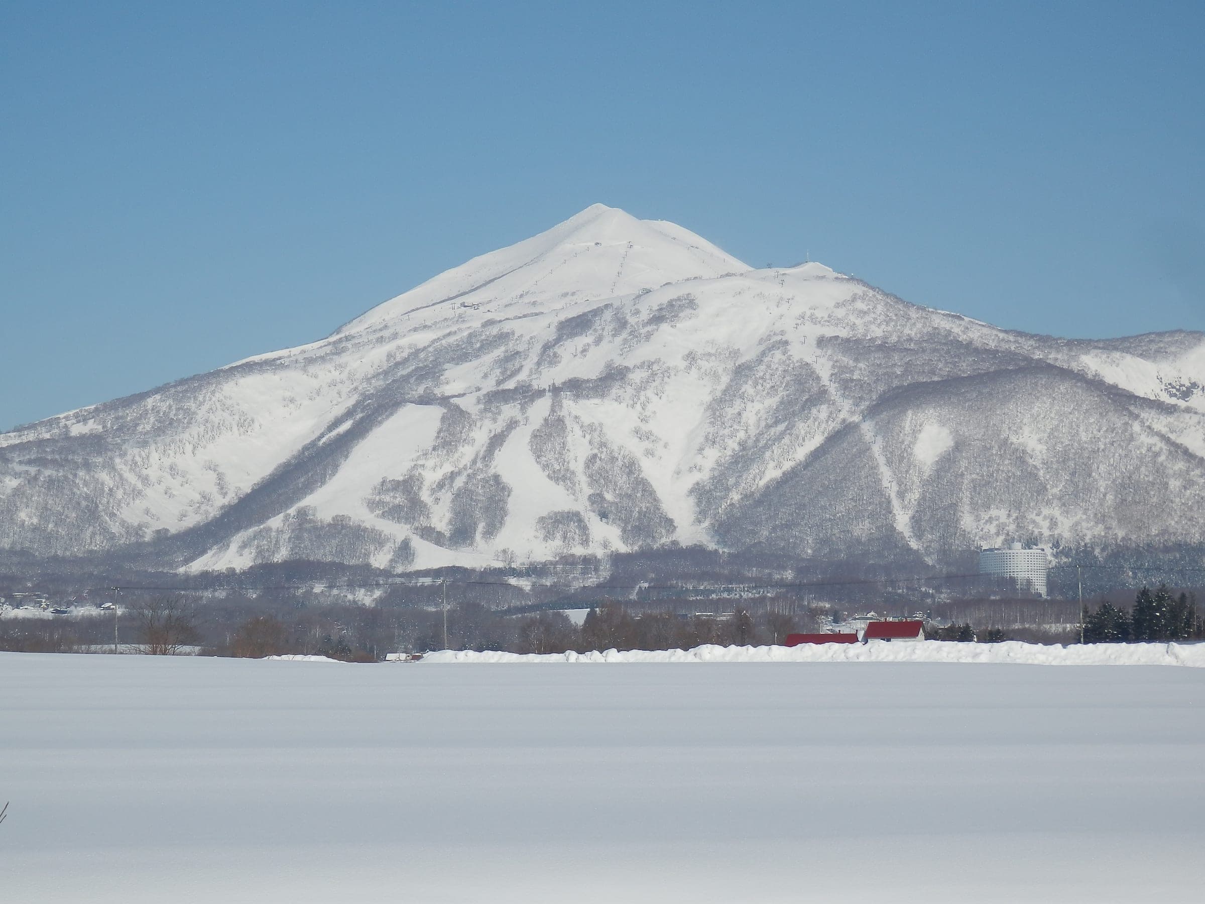
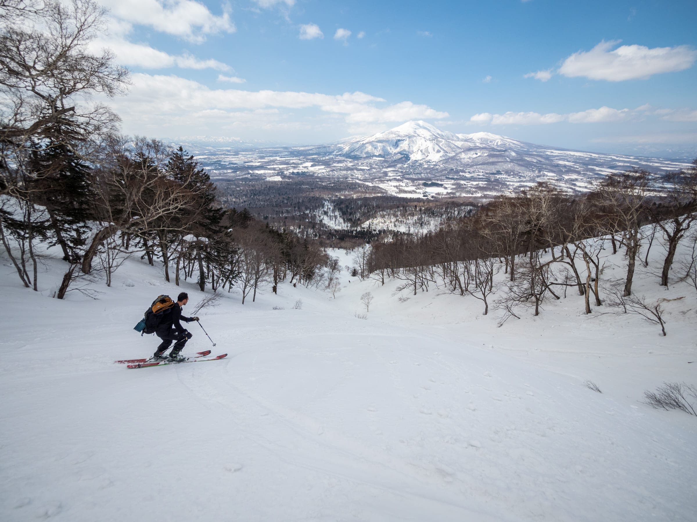
Konbu-dake stands alone south of Niseko town, and reaching its narrow summit takes a long day up the Northern Ridge or a shorter climb from Nishikonbu-dake on the Toyoura side.
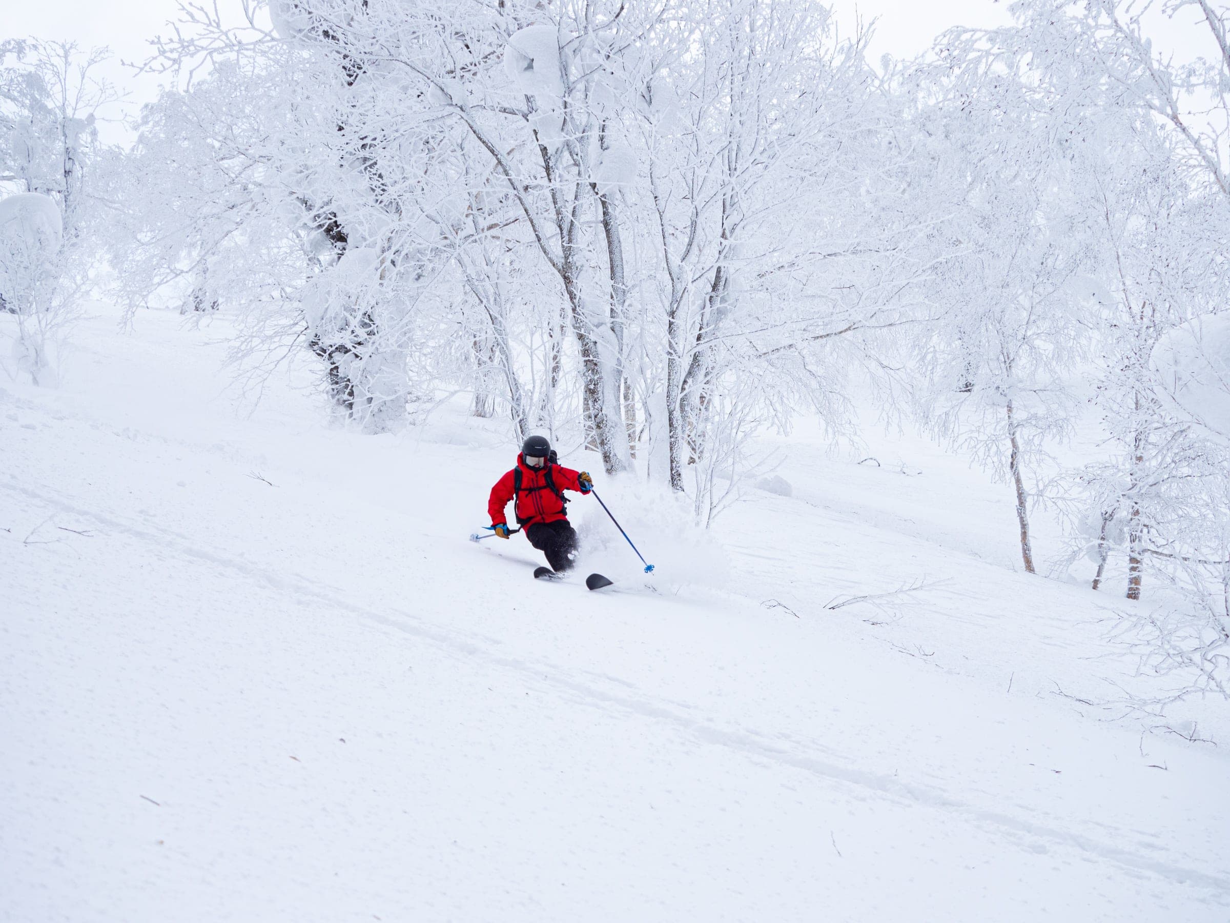
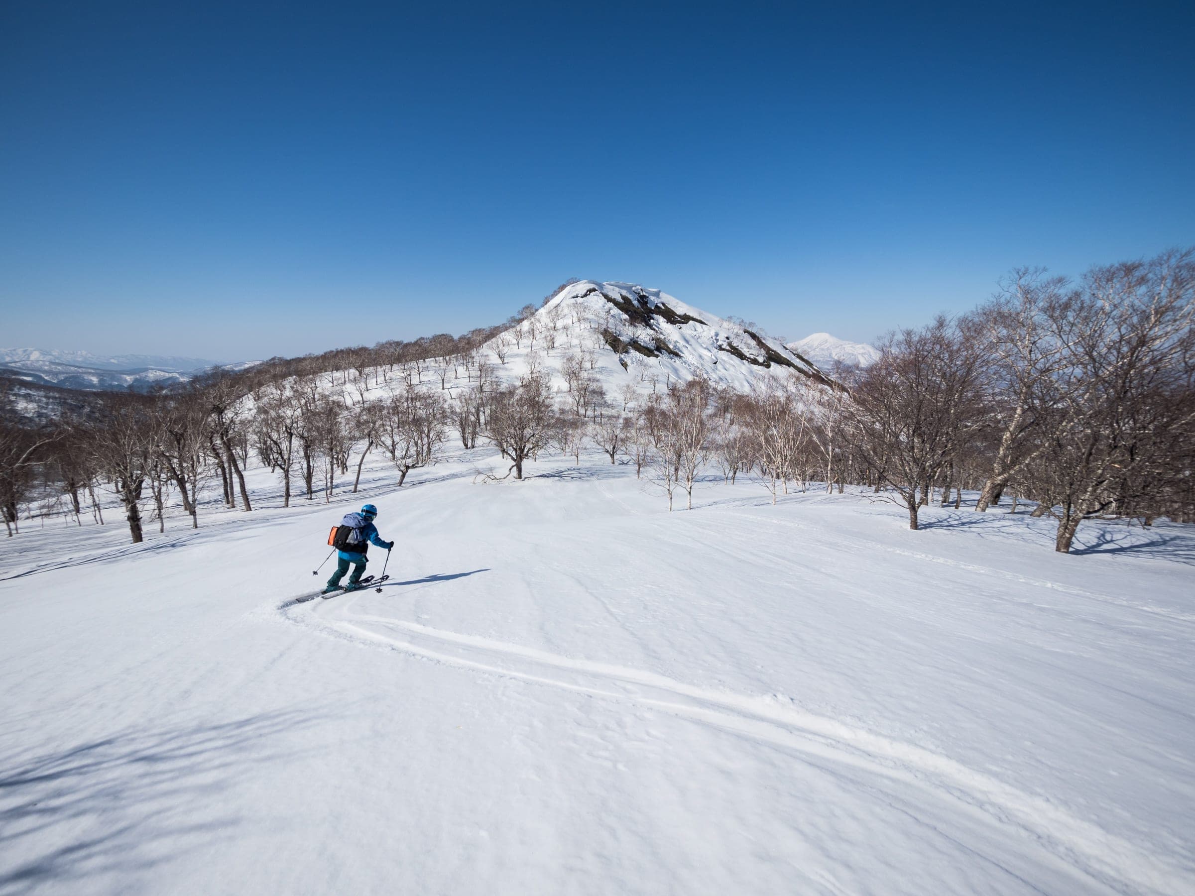
Photo Rob Thomson / Hokkaido Wilds · Publisher's own site · CC BY-SA 4.0 and others, credited in the gallery
Read the terrain
Konbu-dake stands on its own south of Niseko town and away from the main range. The Northern Ridge is a long day of rolling forest and ridge before a narrow summit, and the Nishikonbu-dake approach from the south is a short climb to a mellow south-facing top.
Watch for these hazards
- Knife-edge ridge near the summit, with crampons needed from about 890 m
- Glide cracks on the east faces
- Snowmobiles share the lower Northern Ridge
- A long day in short winter light, so start early
Pick a route that suits the dayルート
Northern Ridge
1,120 m ascent · advanced
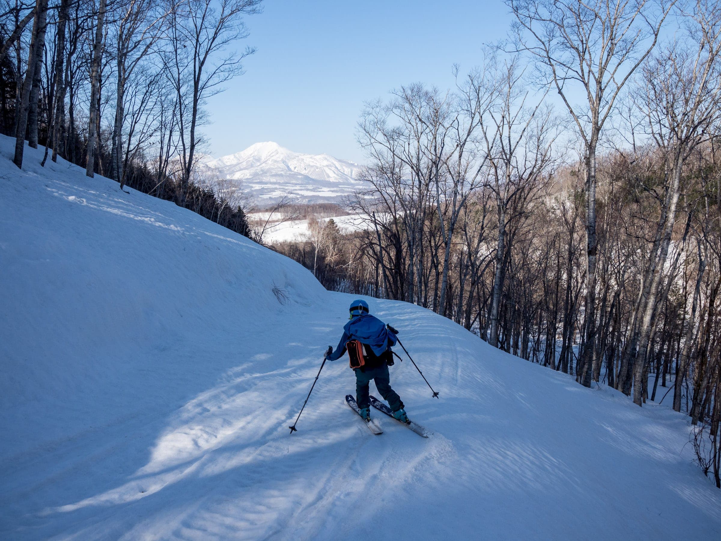
From roadside parking near Niseko Golf Course the ridge climbs 16 km round trip to the summit in about eight hours. Expect snowmobiles low down and a knife-edge finish.
Nishikonbu-dake south approach
437 m ascent · intermediate
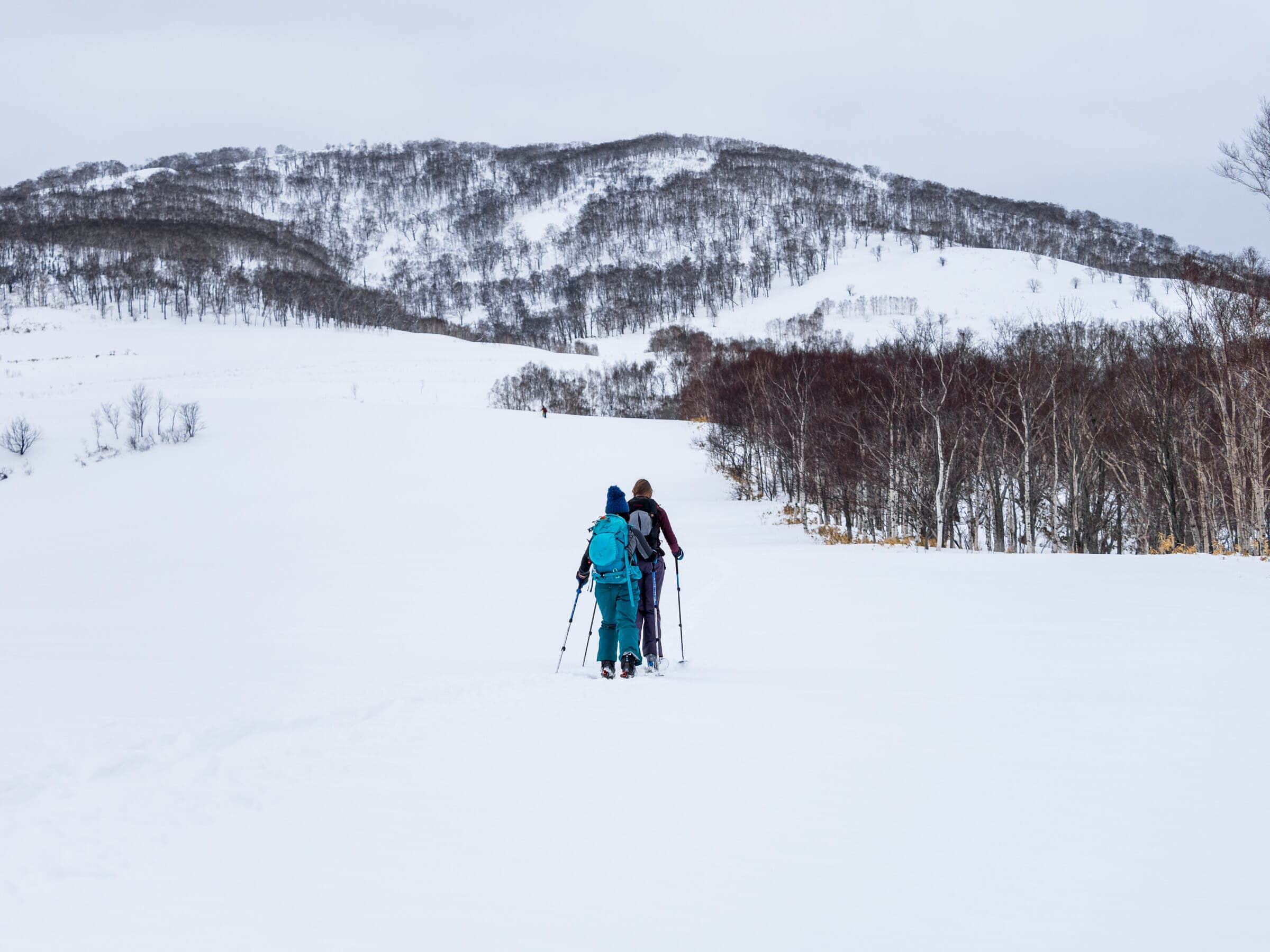
From Prefectural Road 914 in Toyoura the route climbs 5.8 km round trip to the 804 m top in about two and a half hours. It skis well from February to April.
Follow the published lines in 3D立体地図
2 trip reports
What riders report from the hill山行記録
2023-03-20 · Hokkaido Wilds trip report
On a calm mid-March Monday the party walked 1.5 km of snowmobile-packed forestry road before climbing to a snow meadow at 650 m. Sled tracks converged toward the 835 m false peak, and the shark-fin summit still sat a long way beyond it.
Read the source2020-03-07 · Hokkaido Wilds trip report
Four cars were already at the trailhead, so the party dug another 1.5 m into the snowbank to get off the road. They picked this low-angle route on a day the Niseko bulletin rated avalanche danger high.
Read the source
Drive south out of Niseko town toward Toyoura and Konbu-dake stands out on the skyline away from the rest of the range. The Northern Ridge climbs about 1,120 m from the road near Niseko Golf Course and covers 16 km. Allow eight hours, or nine in deep midwinter snow.
The upper ridge narrows to a knife edge near the summit, and most parties strap on crampons from about 890 m. Snowmobiles use the lower ridge, and the east faces open glide cracks as the season goes on. Hokkaido Wilds grades the route 7.5 out of 10.
The south side gives a gentler day. Nishikonbu-dake climbs 437 m from a small cleared spot on Prefectural Road 914 in about two and a half hours, and strong parties carry on to Konbu-dake for three more hours with crampons on the final ridge.
Quick answers about Konbu-dakeよくある質問
How long is a tour on Konbu-dake?
A typical tour on Konbu-dake climbs 440 m to Nishikonbu-dake; about 1,120 m to Konbu-dake by the Northern Ridge and takes 2.5 hours for Nishikonbu-dake; 8–9 hours for Konbu-dake.
When can you ski tour Konbu-dake?
The touring season on Konbu-dake runs january to March for the Northern Ridge; February to April from the Toyoura side.
Do you need a guide for Konbu-dake?
We recommend a certified guide for Konbu-dake unless your group can read the snowpack and run its own rescue.
Where do you check avalanche danger for Konbu-dake?
Read the day's bulletin from Japan Avalanche Network (https://nadare.jp/) before every tour on Konbu-dake.
Within 30 km
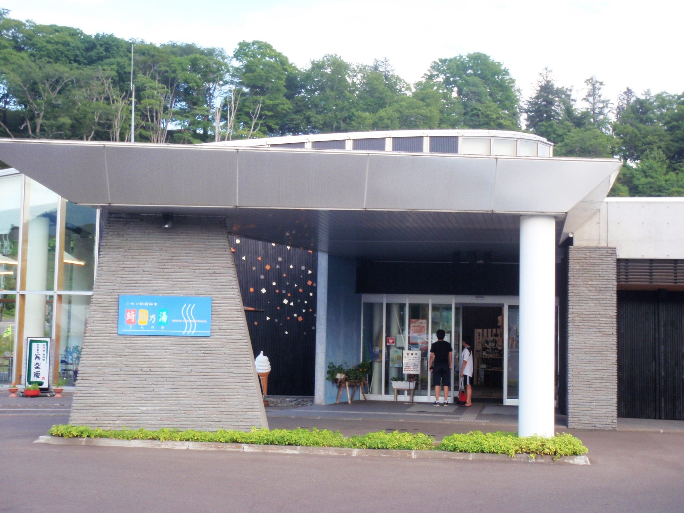
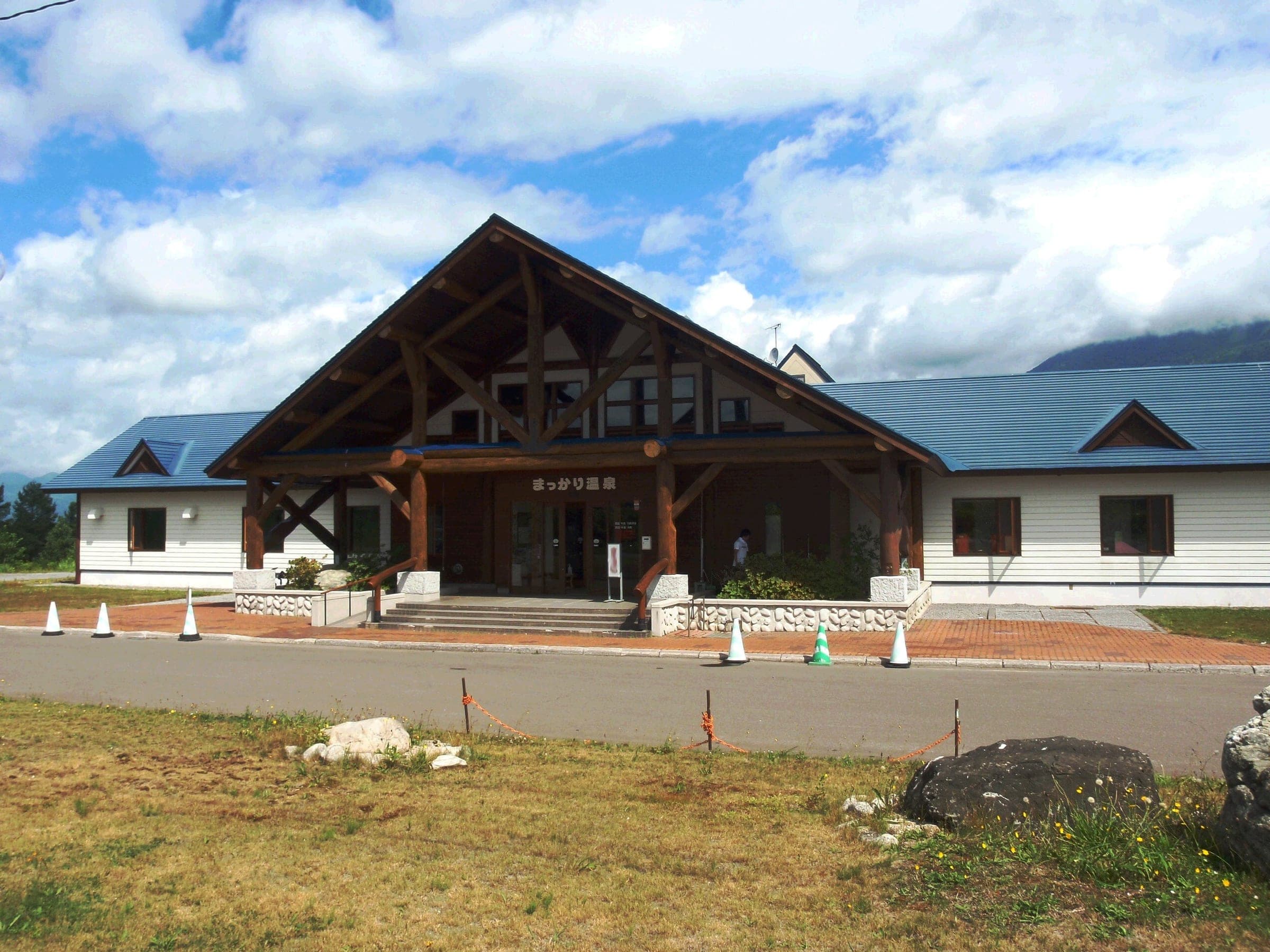
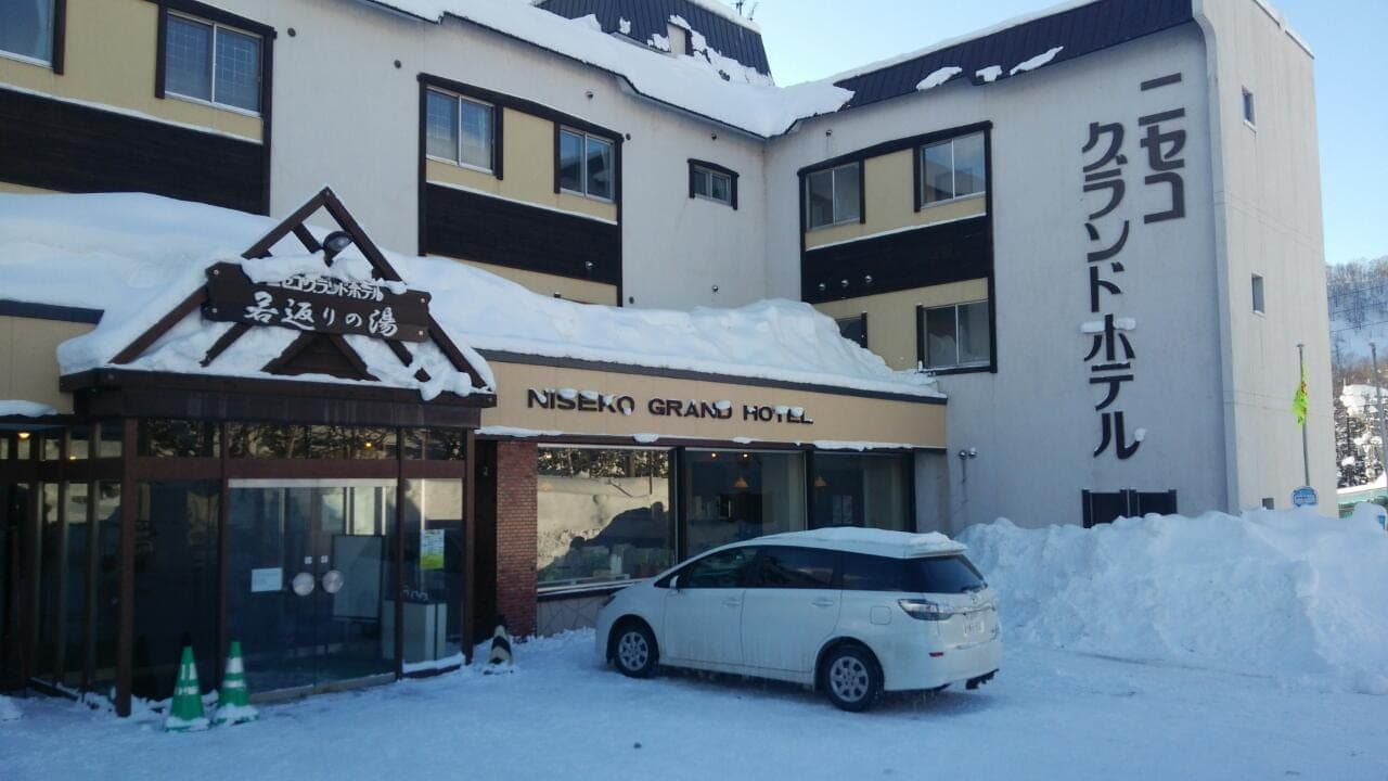
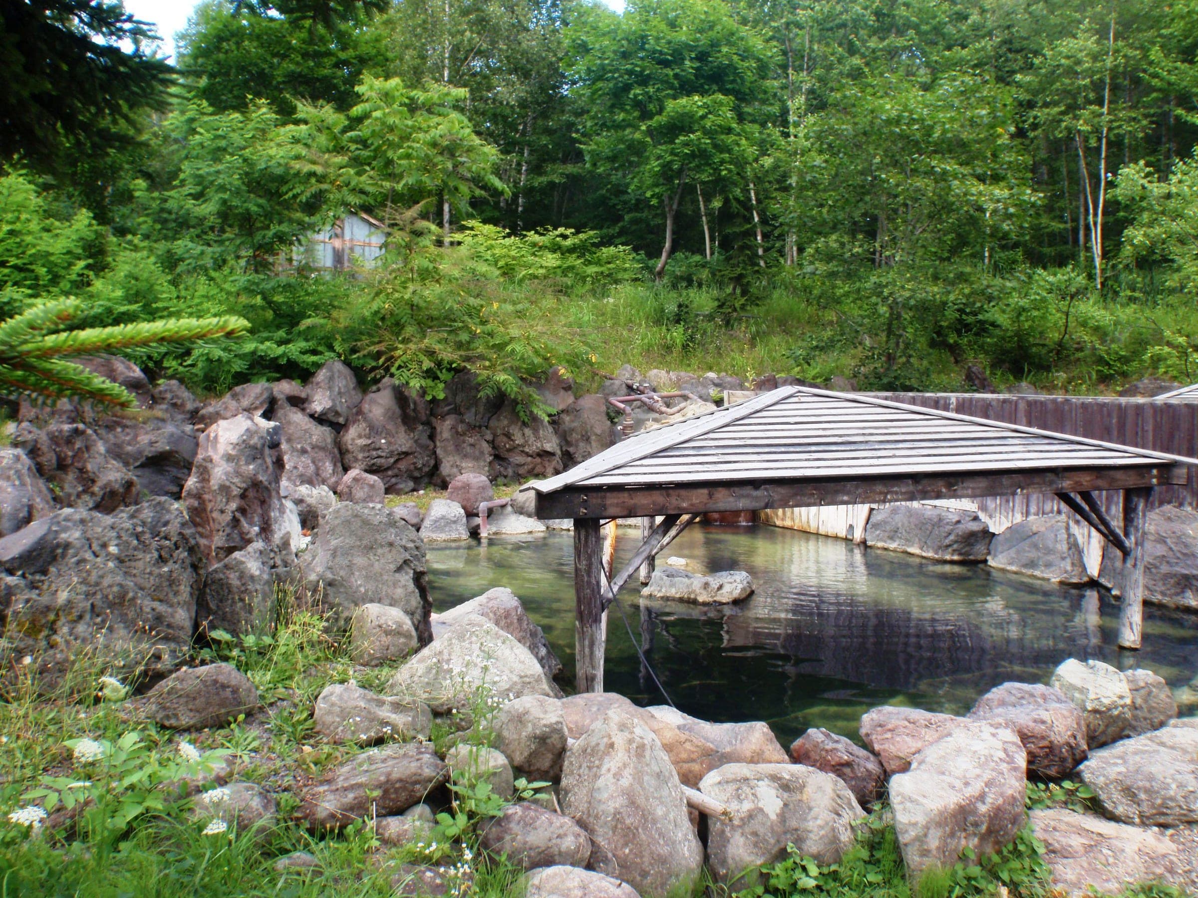
Hot springs nearby温泉
Within 40 km
Ski resorts nearby山

Within 80 km
Backcountry zones nearby山スキー

Within 35 km
Places to stay nearby宿
Within 35 km