Niseko Range
ニセコ連峰42°53′ N 140°36′ Eadvanced1,134 mGuide recommended
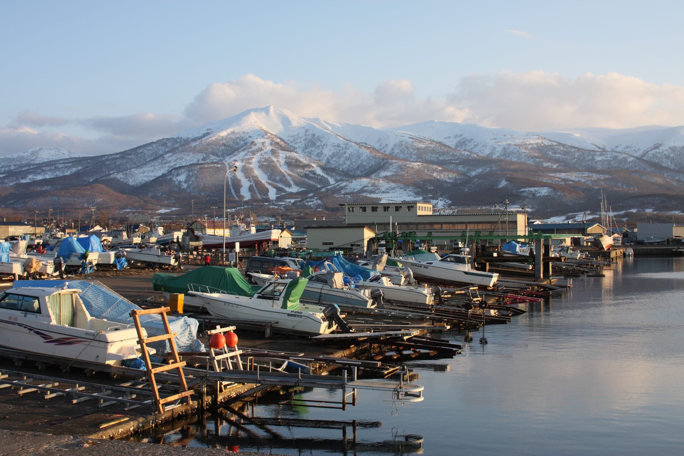
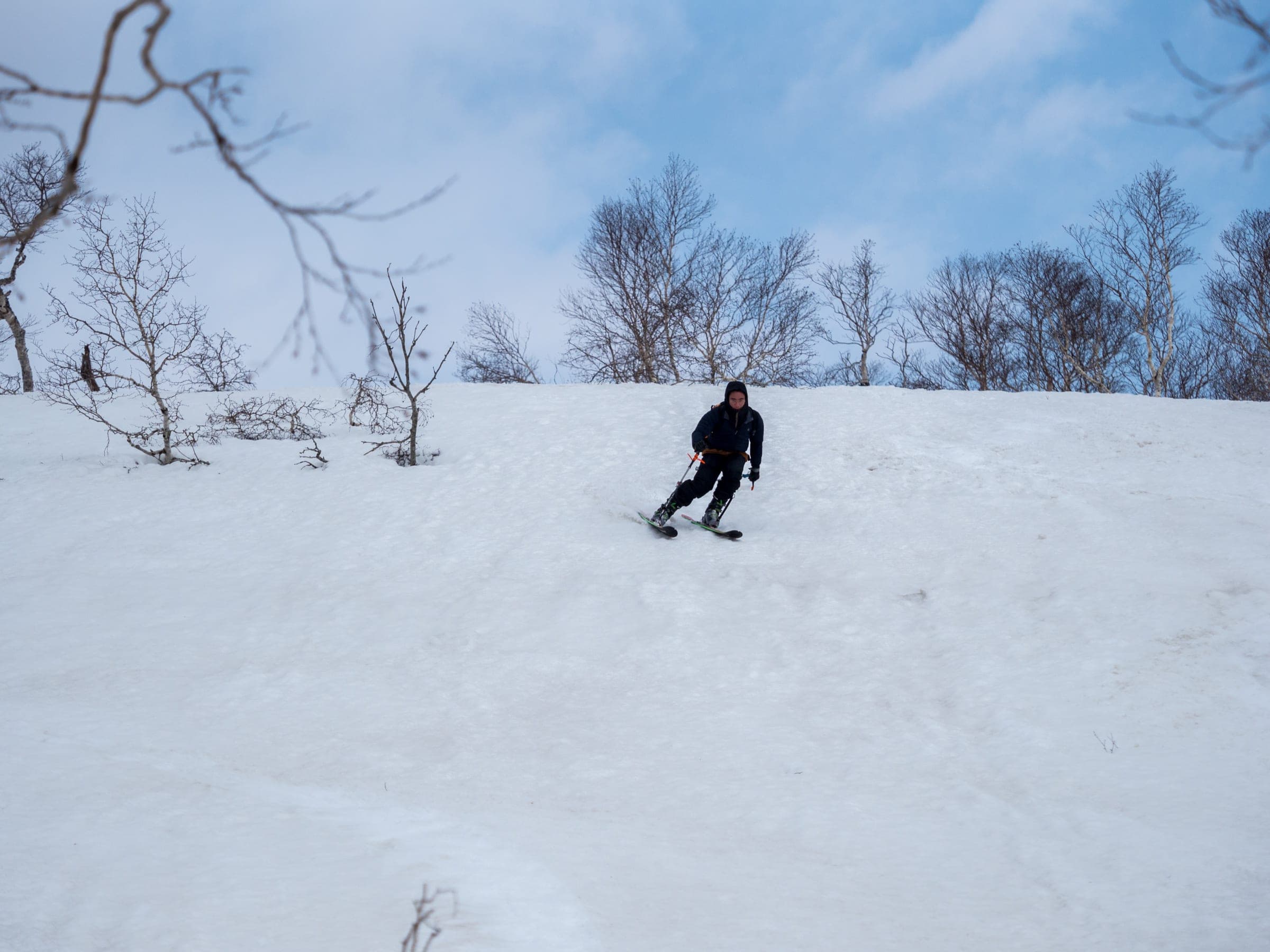
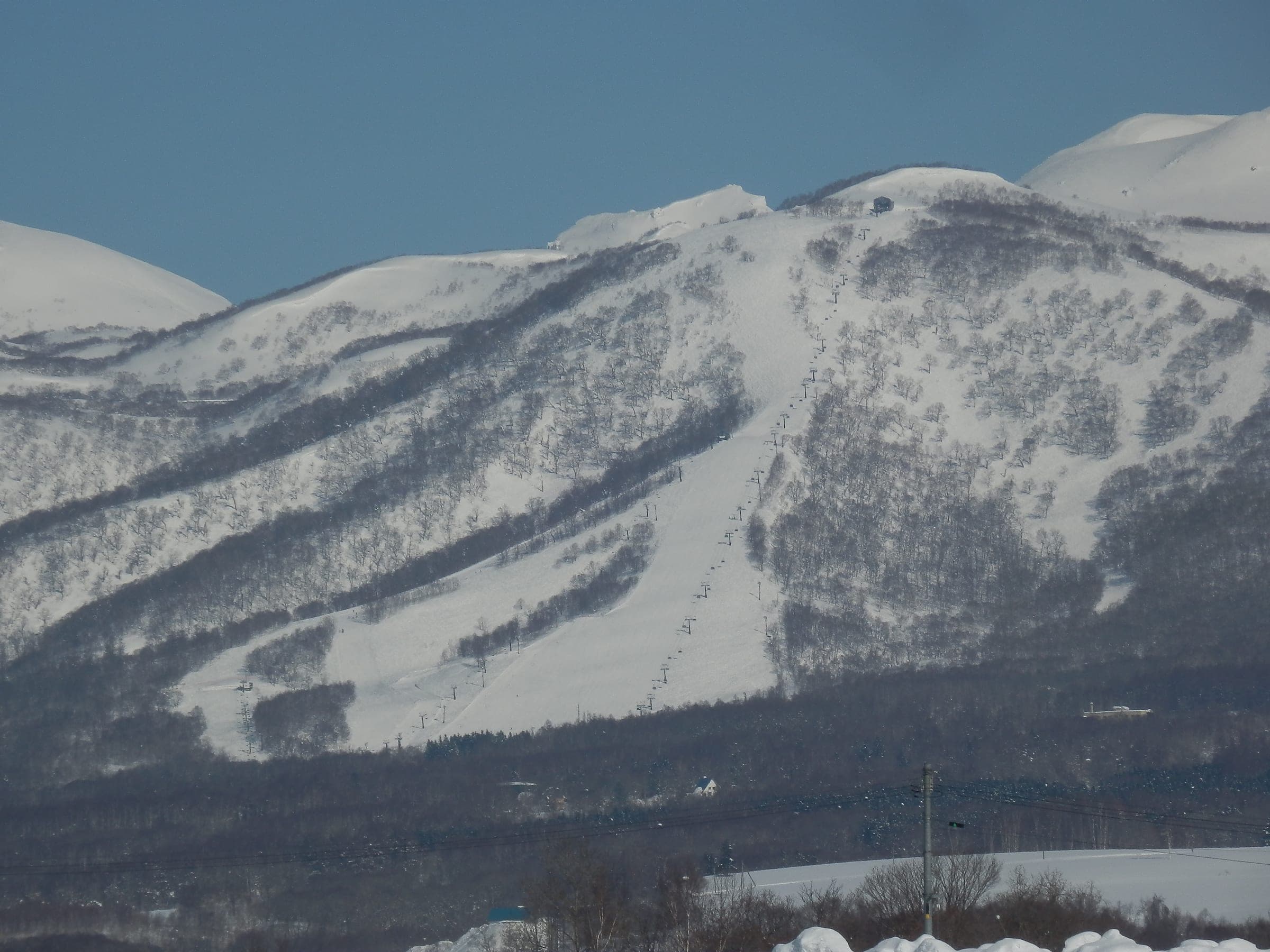
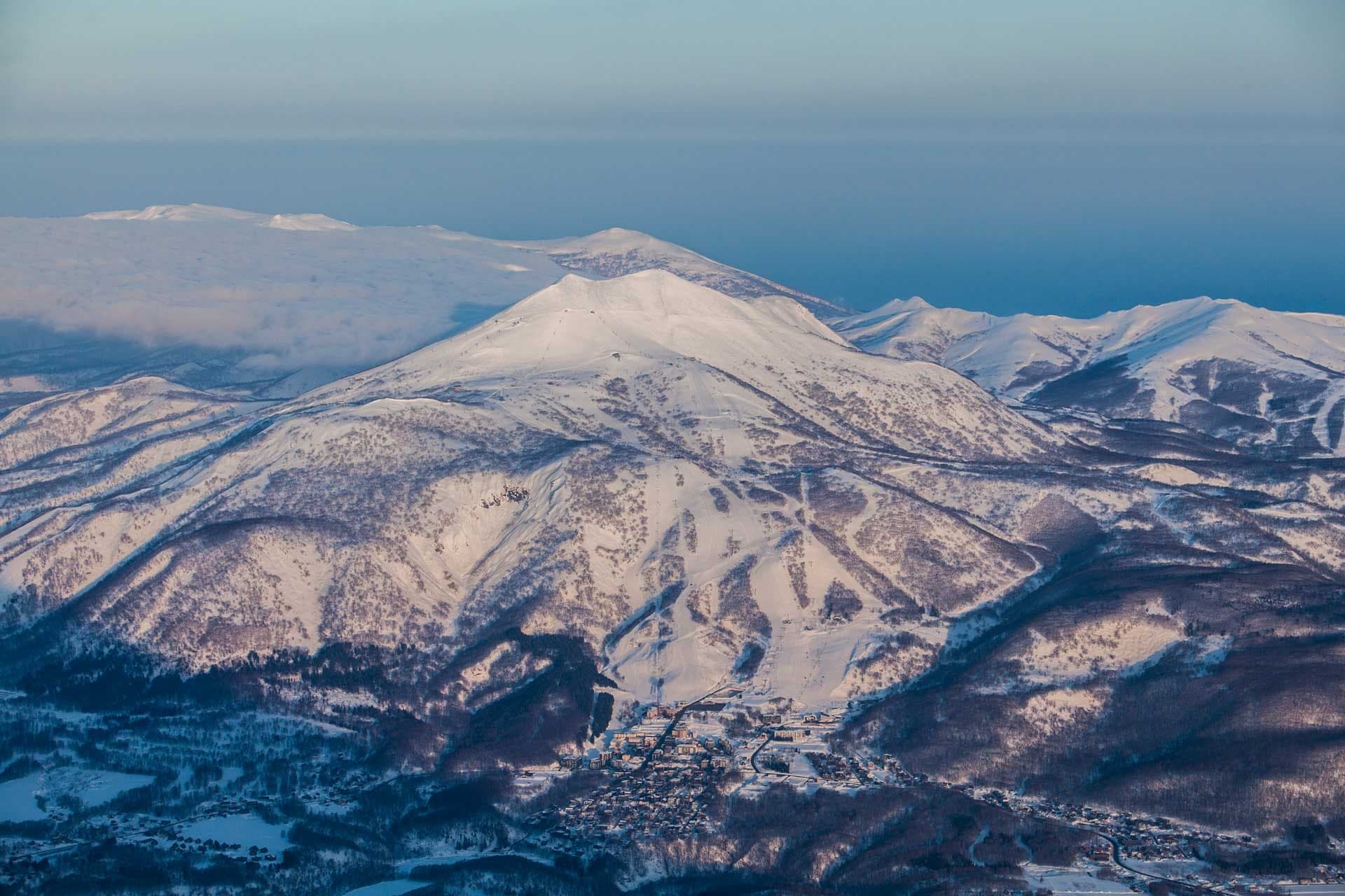
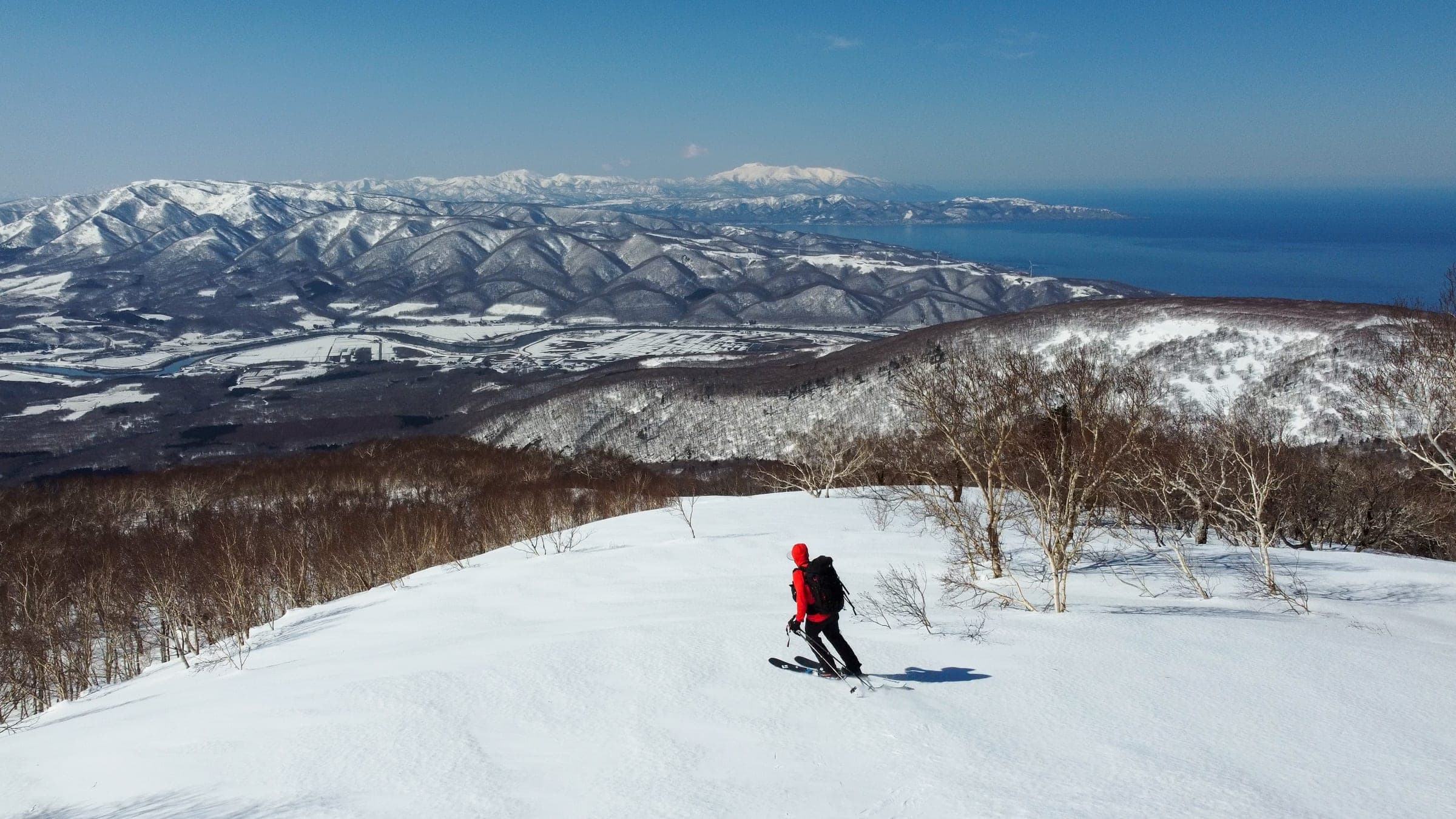
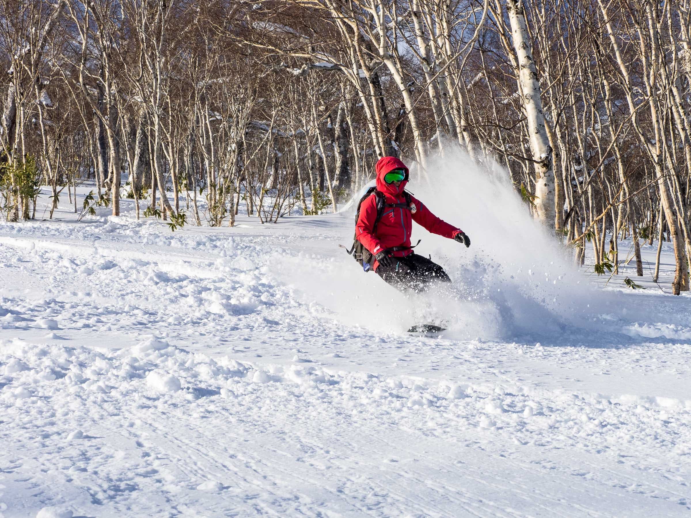
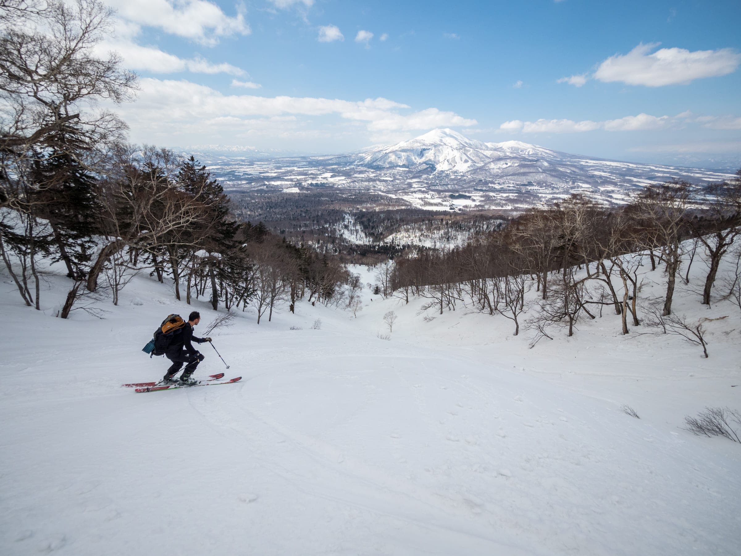
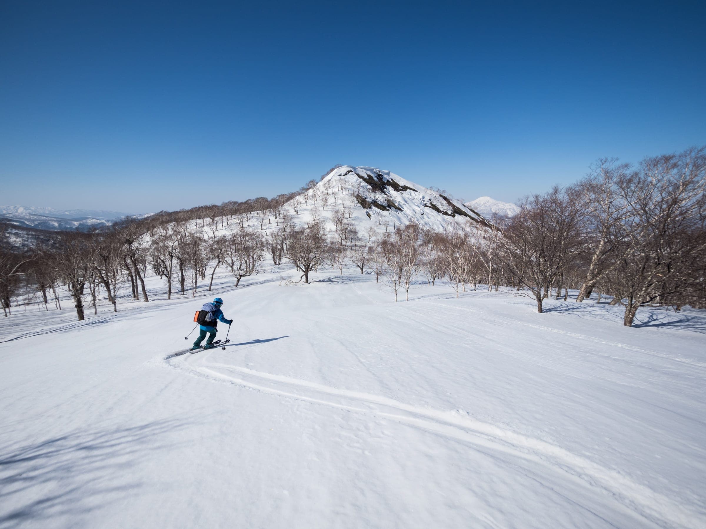
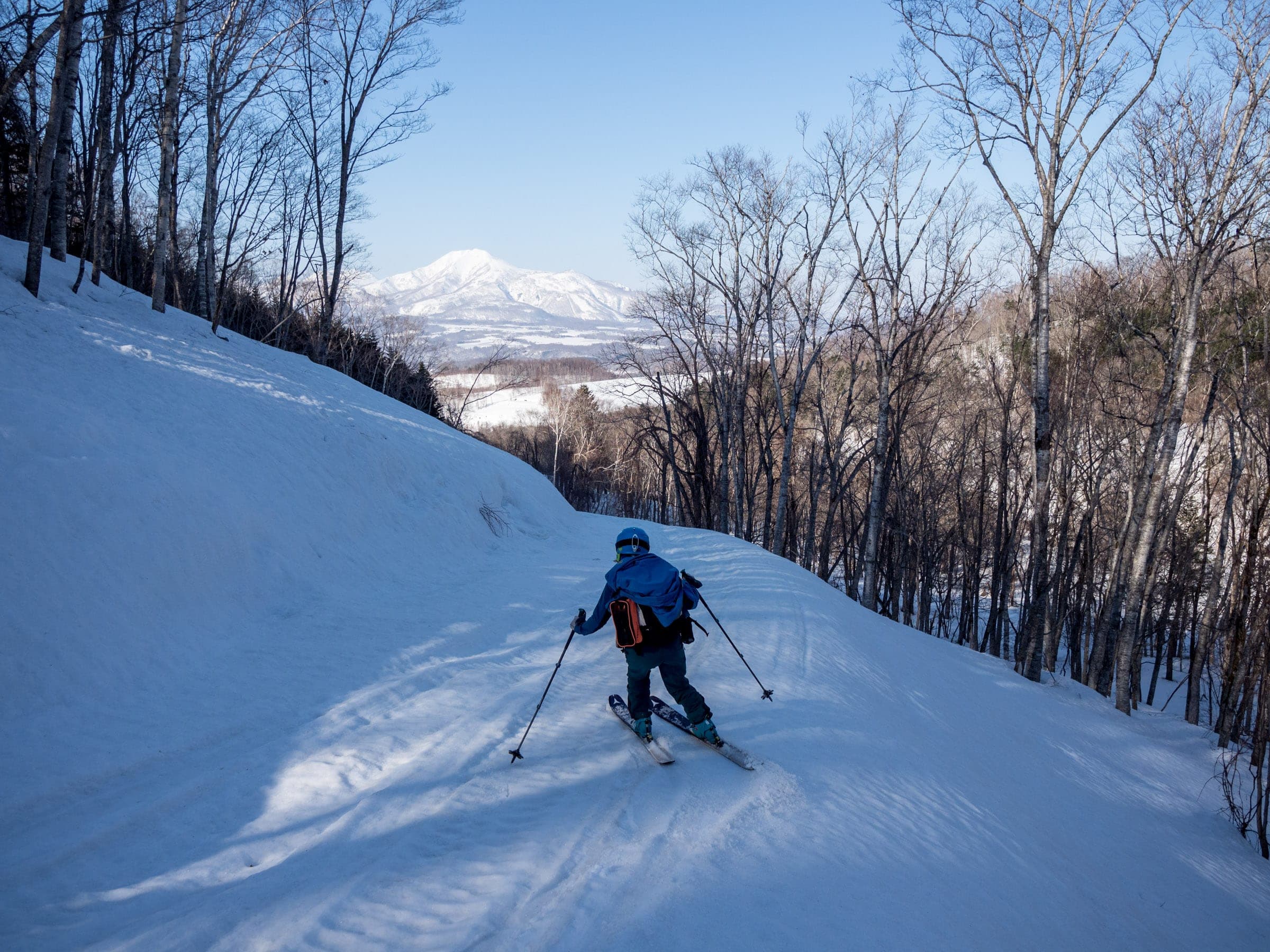
West of the Niseko lifts a chain of rounded volcanic peaks runs toward the Sea of Japan, and short climbs from plowed road ends reach tree runs and open faces that see a fraction of the resort traffic.
Photo Jun Kaneko · Flickr · CC BY-SA 2.0 and others, credited in the gallery
Read the terrain
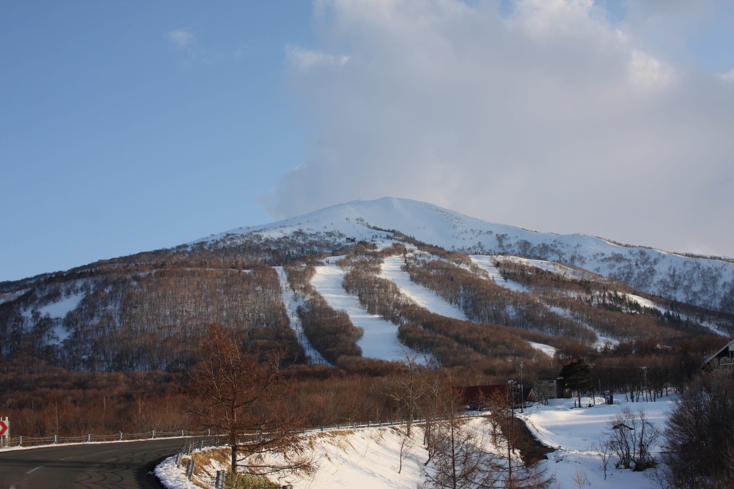
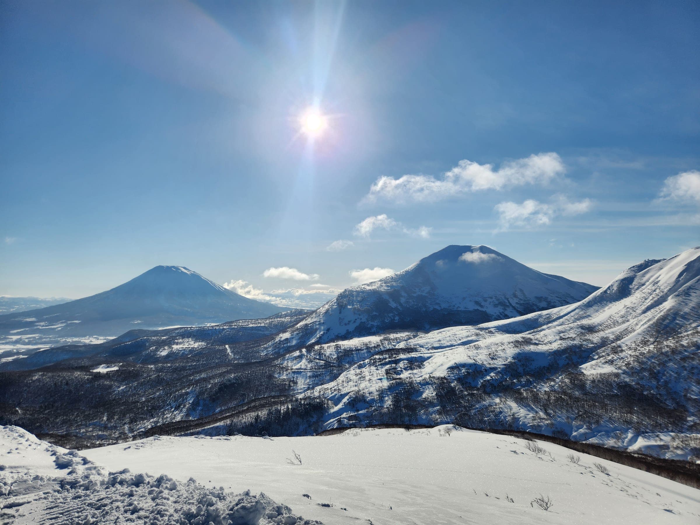
A chain of low volcanic summits runs west from Niseko Annupuri through Iwaonupuri and Nitonupuri to Chisenupuri, then on to Shakunage-dake and Mekunnai-dake. Most tours climb 300 to 700 m through birch and open plateaus to rounded tops, and the faces off them range from mellow south-facing glades to the 35–40 degree northeast chute on Iwaonupuri.
Watch for these hazards
- Whiteout navigation on the Chisenupuri plateau, the Chisenupuri–Shakunage saddle and the Mekunnai and Raiden plateaus
- The steep first slope above the road at Nitonupuri, where a 2009 avalanche buried four people
- Classic avalanche terrain on Chisenupuri's east face above treeline; the gully above Oyunuma is marked entry prohibited
- Wind-scoured, icy ridges and slab on Iwaonupuri, with a convex roll at the top of the northeast chute
- Terrain traps in the gullies of the Nitonupuri and Chisenupuri southeast faces, with a waterfall and weak snow bridges in early season
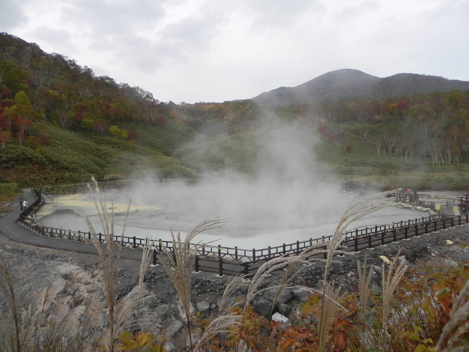
- Iwaonupuri is an active volcano with fumaroles in its west crater; touring sources do not describe a gas hazard, so give the vents a wide berth
- Windchill to −20°C and road closures on Route 66 and Route 58 from late October to late May
Pick a route that suits the dayルート
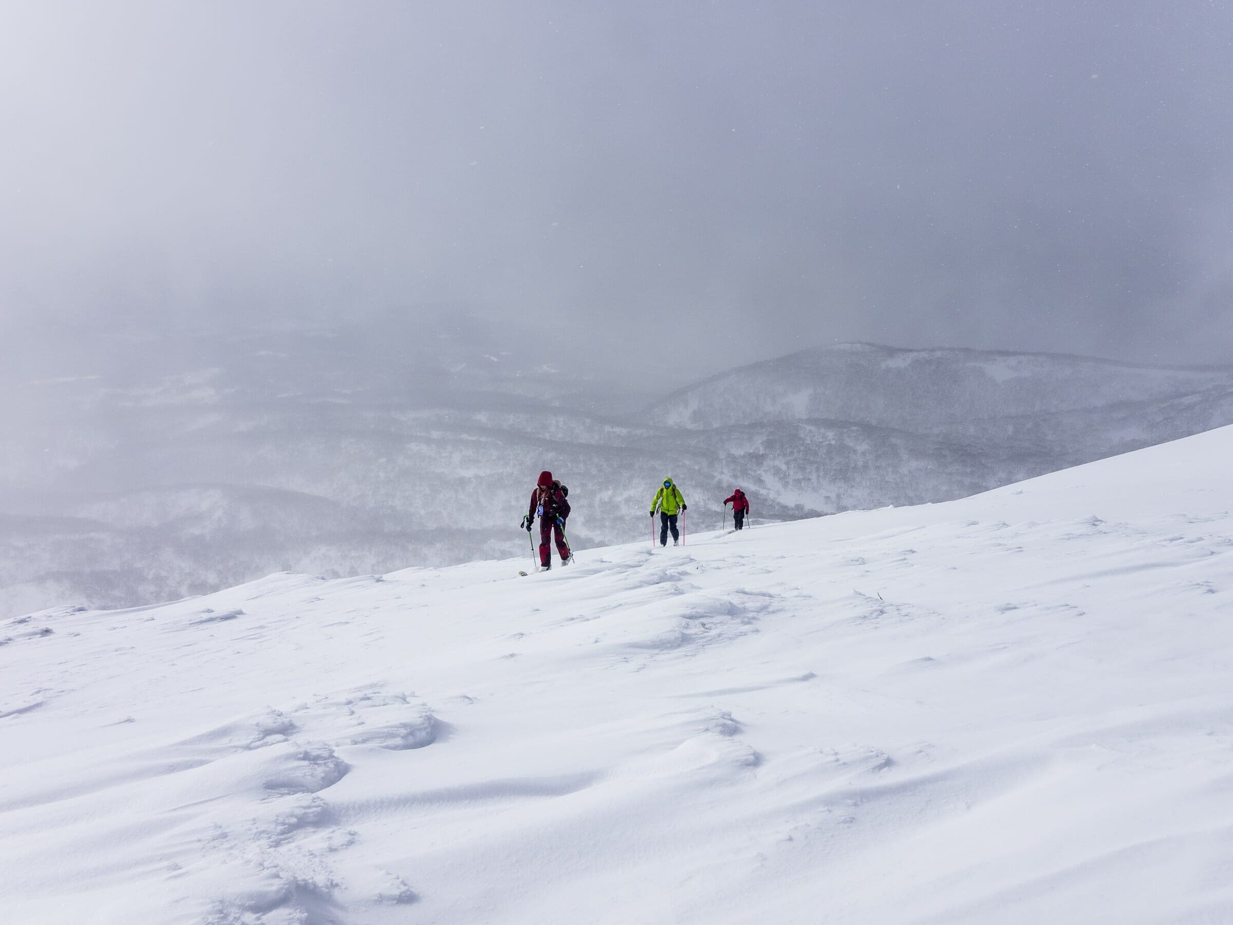
Chisenupuri South Face
542 m ascent · intermediate
From the old ski-area car park, follow the orange-marked uptrack on the skier's left and climb 5.6 km round trip to the summit in about three hours. The south face skis back to the car.
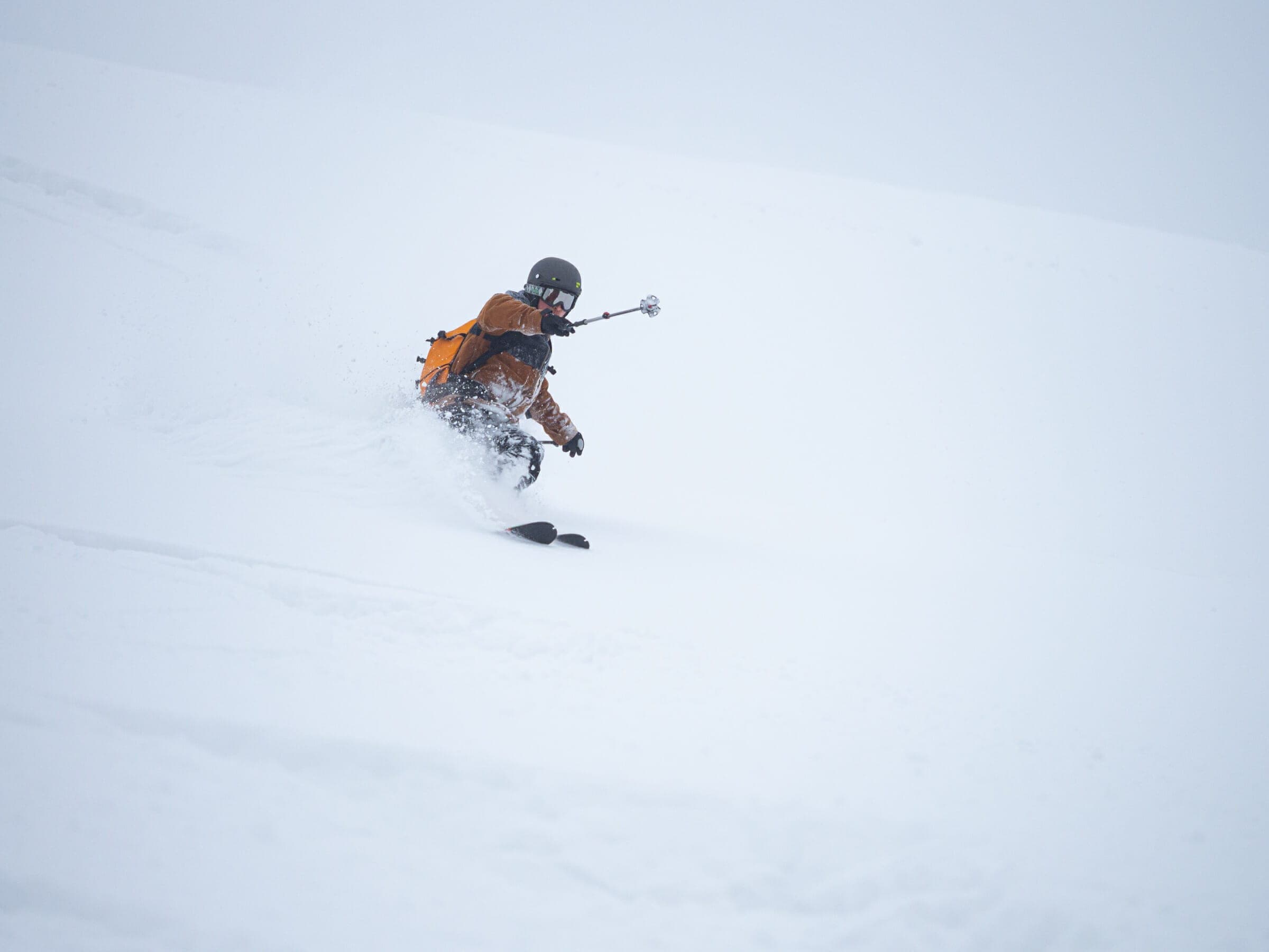
Chisenupuri Southeast Face
510 m ascent · advanced
This route starts at the Yusato Gate and climbs 6 km in about three and a half hours. The face funnels into a constricted gully at the bottom.
Shakunage-dake via Chisenupuriシャクナゲ岳
481 m ascent · intermediate
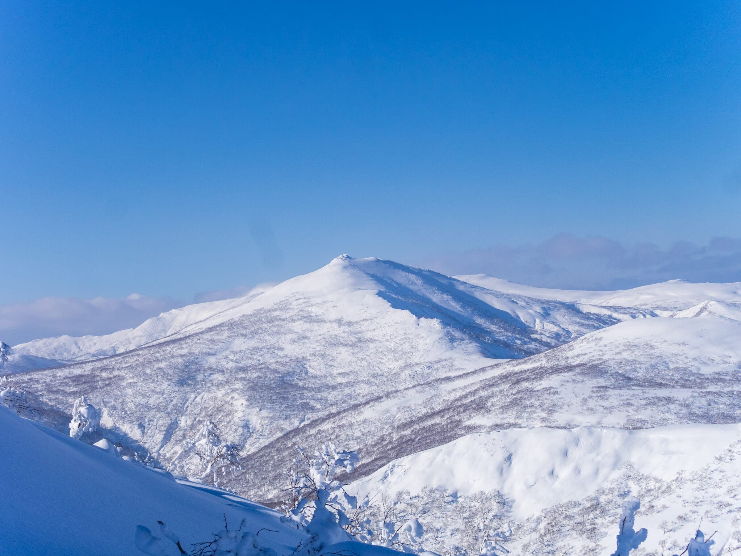
From the ski-area car park the route crosses the saddle west of Chisenupuri to the 1,074 m summit. Allow about three and a half hours for the 7.4 km round trip. The saddle is a whiteout trap.
Nitonupuri summitニトヌプリ
431 m ascent · advanced
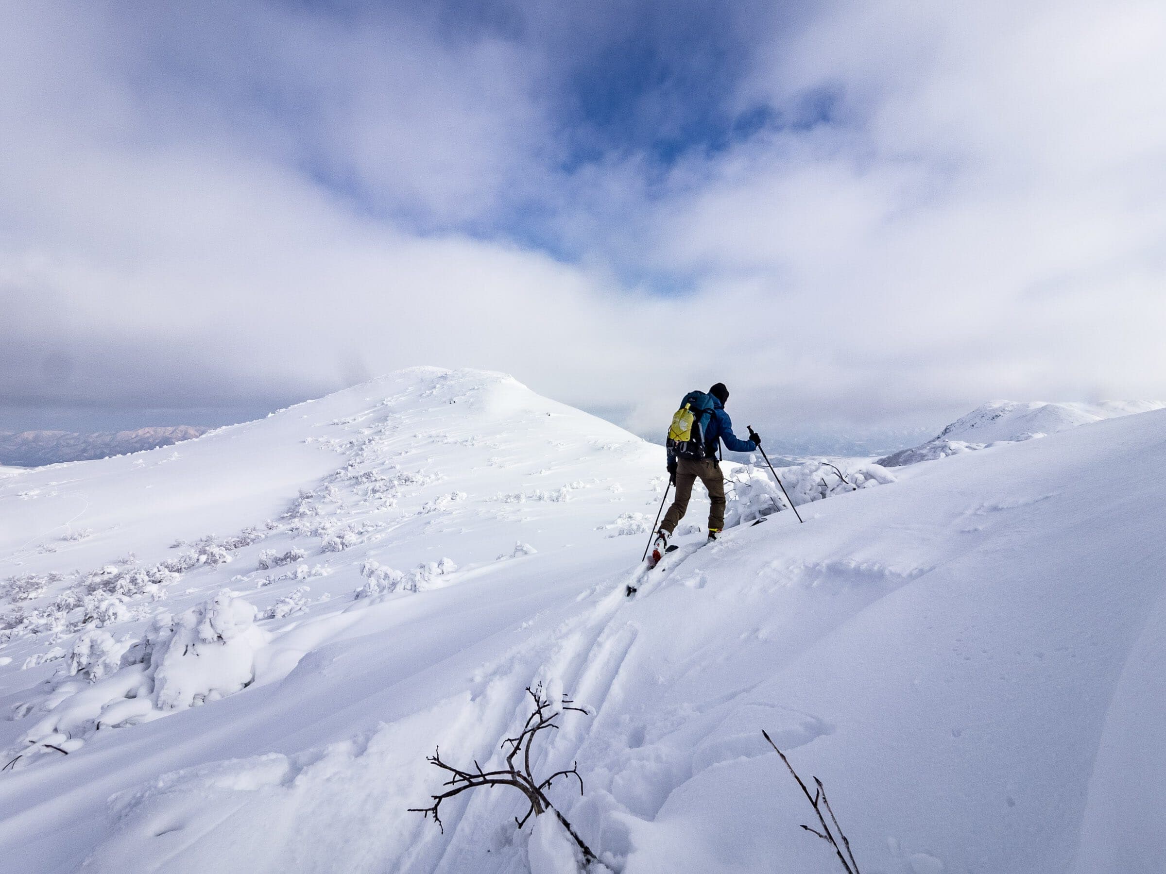
The tour climbs from the Yusato Gate to the 874 m plateau and on to the 1,080 m top. The 3.7 km round trip takes about three and a half hours. The steep first slope above the road is the danger point.
Nitonupuri West Face
450 m ascent · advanced
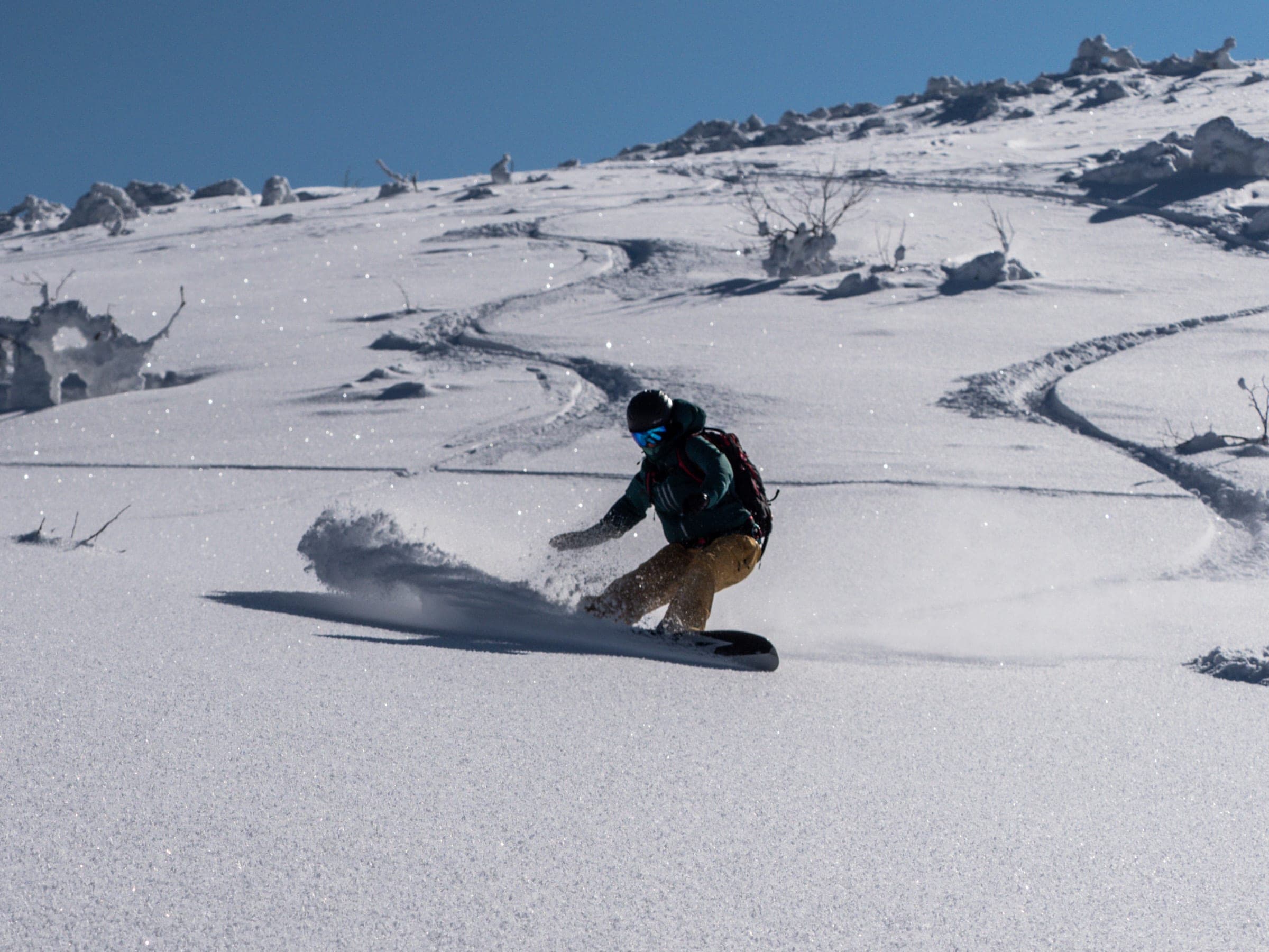
From the Yusato Gate this short loop skis the west and northwest aspects in about three hours, and it is in season from December to March.
Nitonupuri Southeast Face
416 m ascent · advanced
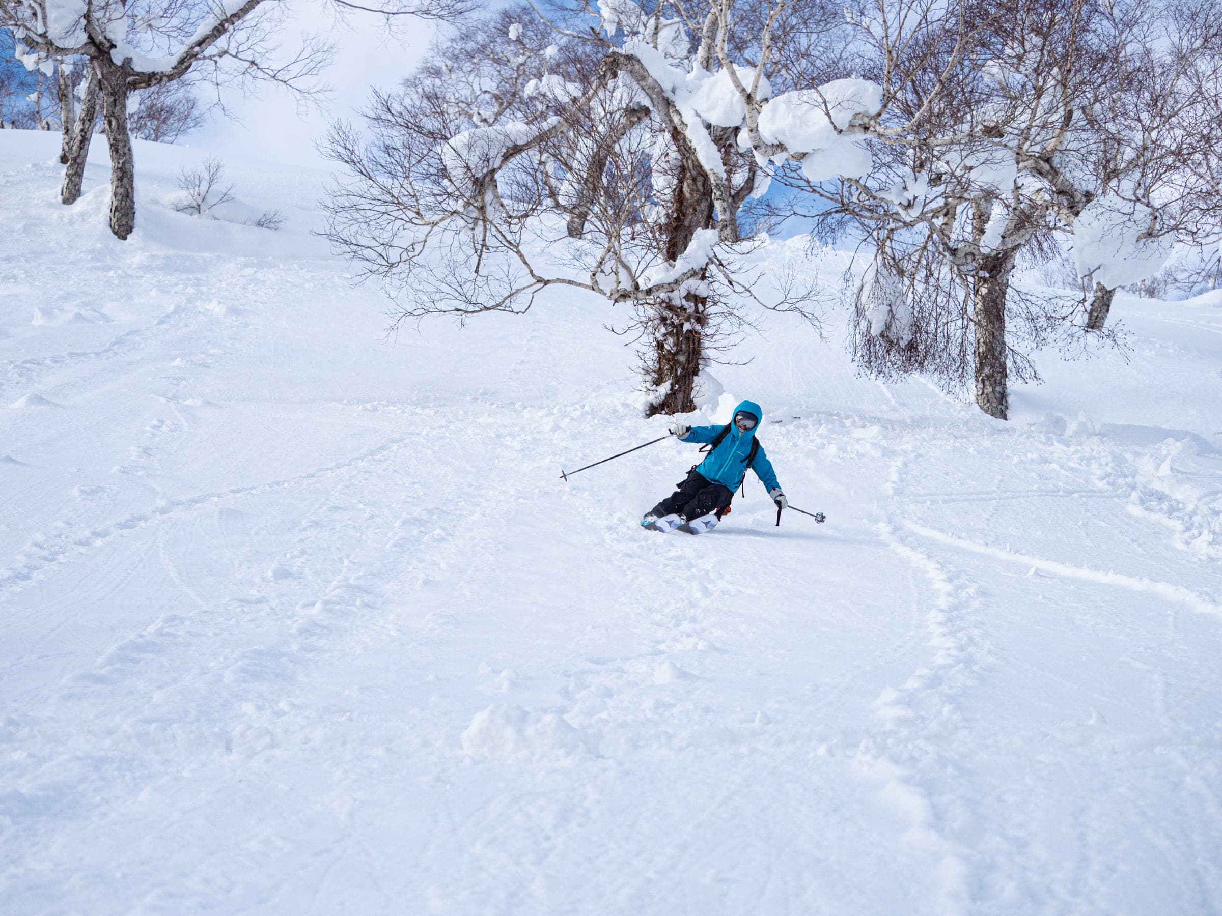
The southeast face from the Yusato Gate takes about three hours. Its gullies hold terrain traps, and early in the season a waterfall and weak snow bridges sit at the bottom.
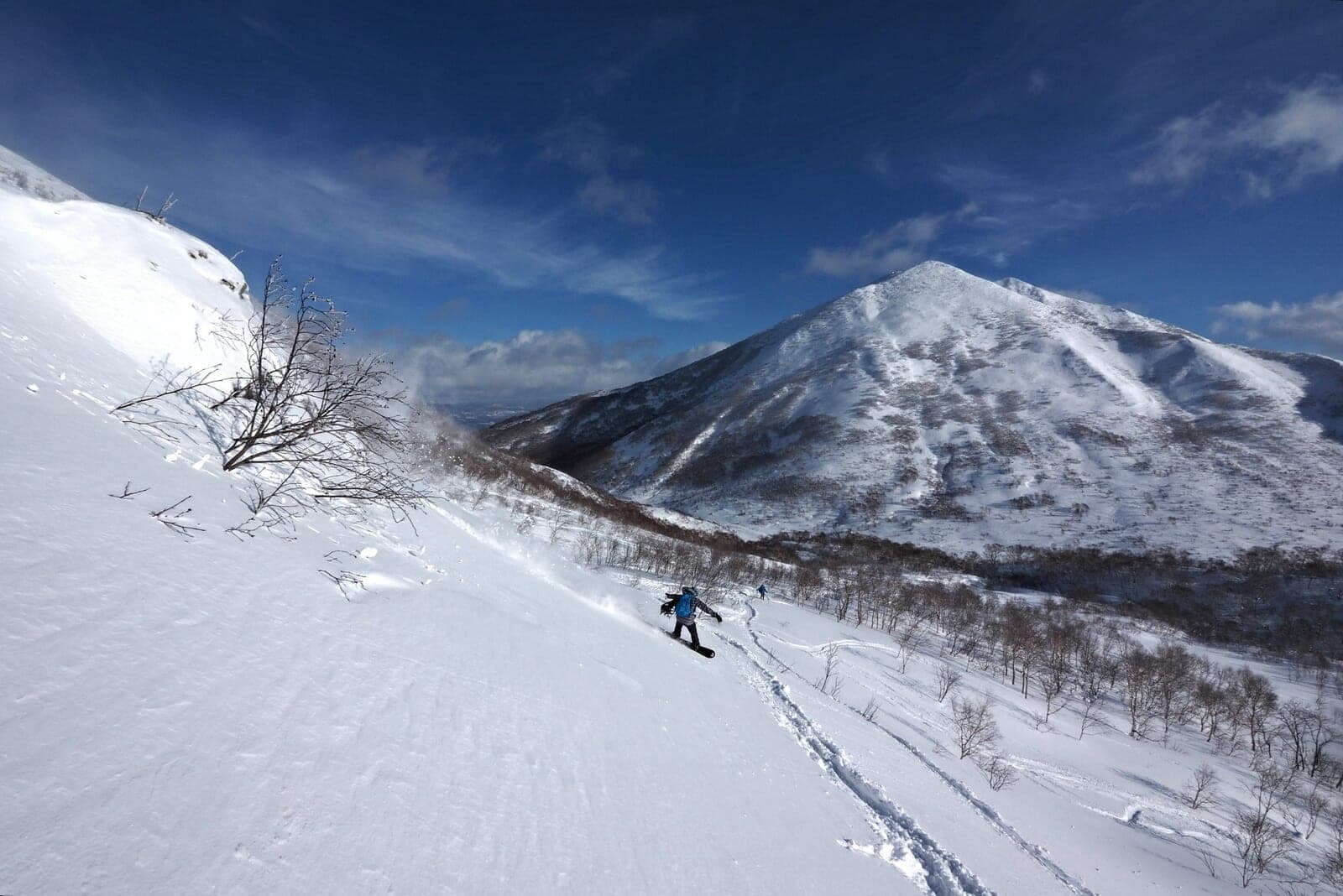
Iwaonupuri South Ridgeイワオヌプリ
320 m ascent · advanced
The route climbs from the Goshiki Onsen plow end to the 1,116 m summit. The 3.5 km round trip takes about three hours. The ridge is wind-scoured and icy, and the southeast bowl below it is prime avalanche terrain.
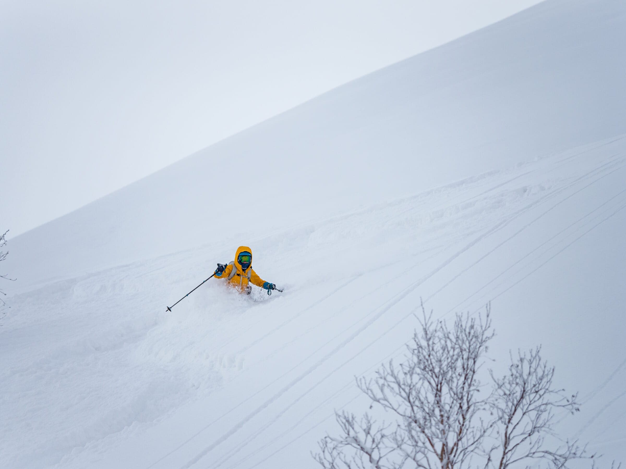
Iwaonupuri NE Chute
550 m ascent · expert
From Goshiki the tour reaches a chute that drops about 200 m at 35 to 40 degrees. Plan on six hours, and ride it from January to March. A convex roll at the top loads with wind slab.
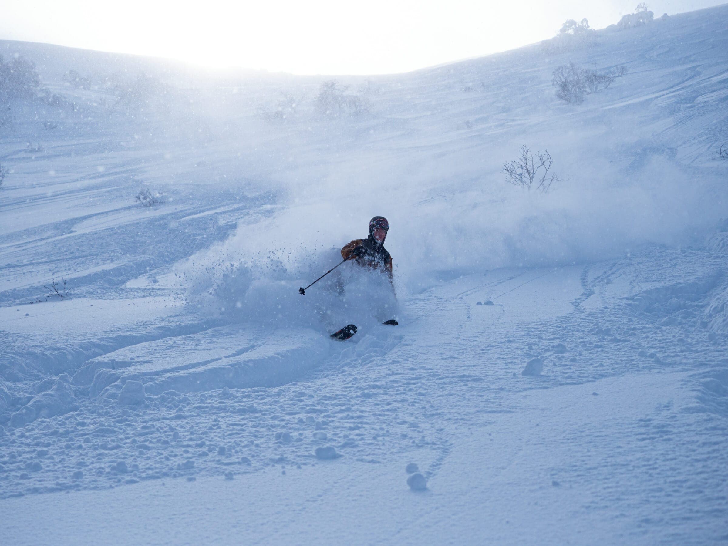
Annupuri Kita-shamen to Goshiki loop
250 m ascent · advanced
Riders leave the resort through Gate 2 at Annupuri or Gate 3 at Hirafu and ski the north face. From the bottom they skin out to Goshiki Onsen. The loop covers about 7 km in four hours. It is the usual first step from the lifts into the range.
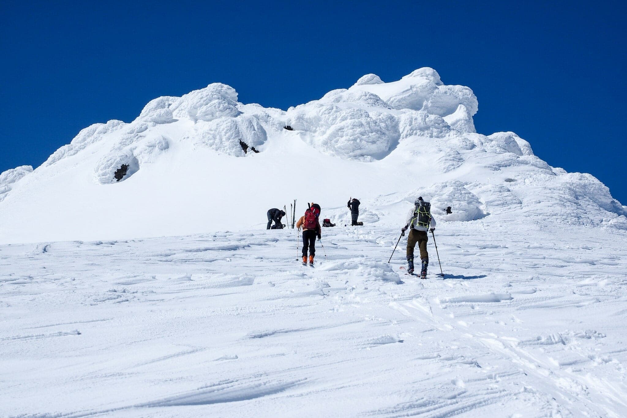
Mekunnai-dake via Niimi目国内岳
690 m ascent · advanced
The tour climbs from the end of the plowed Route 268 past the old Niimi Onsen site to the 1,220 m summit. The 8.2 km tour takes about five hours and suits February to April. Its plateau goes blank in a whiteout.
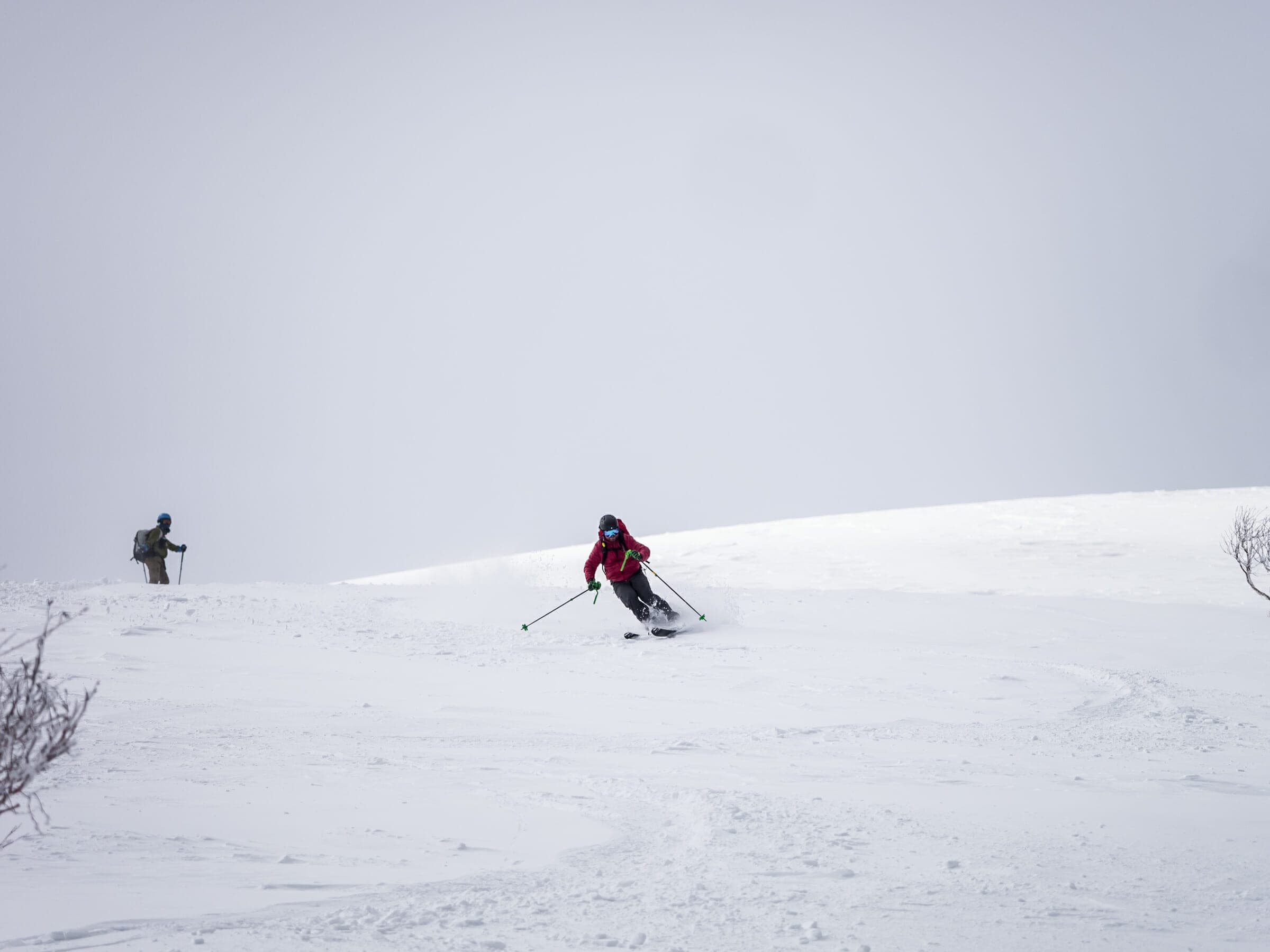
Weisshornワイスホルン
500 m ascent · intermediate
From the Route 58 plow end near Hanazono the route climbs the southeast side of Weisshorn in about four hours over 7 km. Hanazono runs cat skiing on the old ski area on the same mountain.
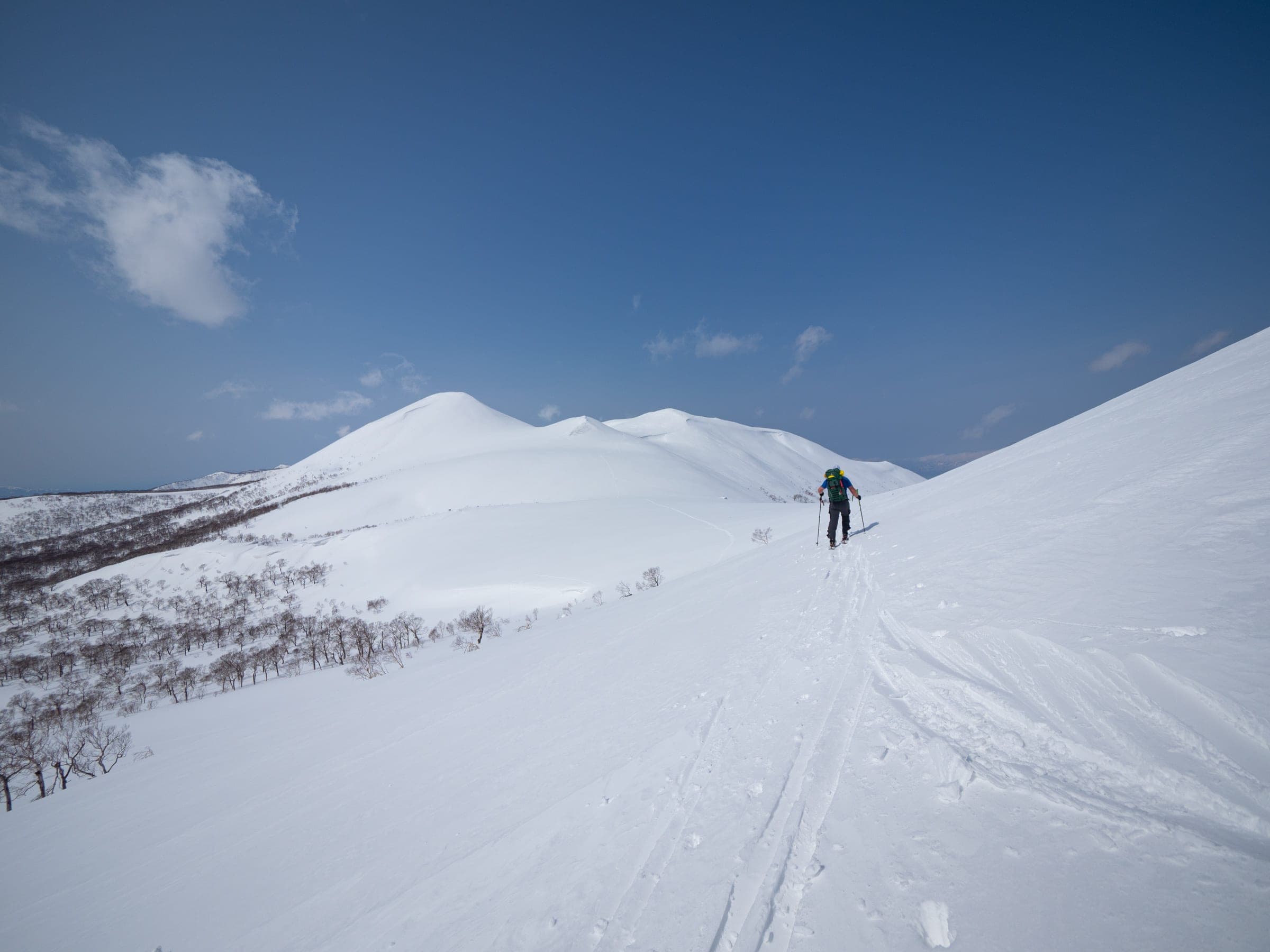
Niseko Haute Route
advanced
The traverse links the range for 31 km from Goshiki Onsen to Shikishimanai on the Raiden coast with 2,000 to 2,500 m of climbing. Spring parties take one or two days and camp at the Niimi Onsen ruins, and winter parties allow two to four.
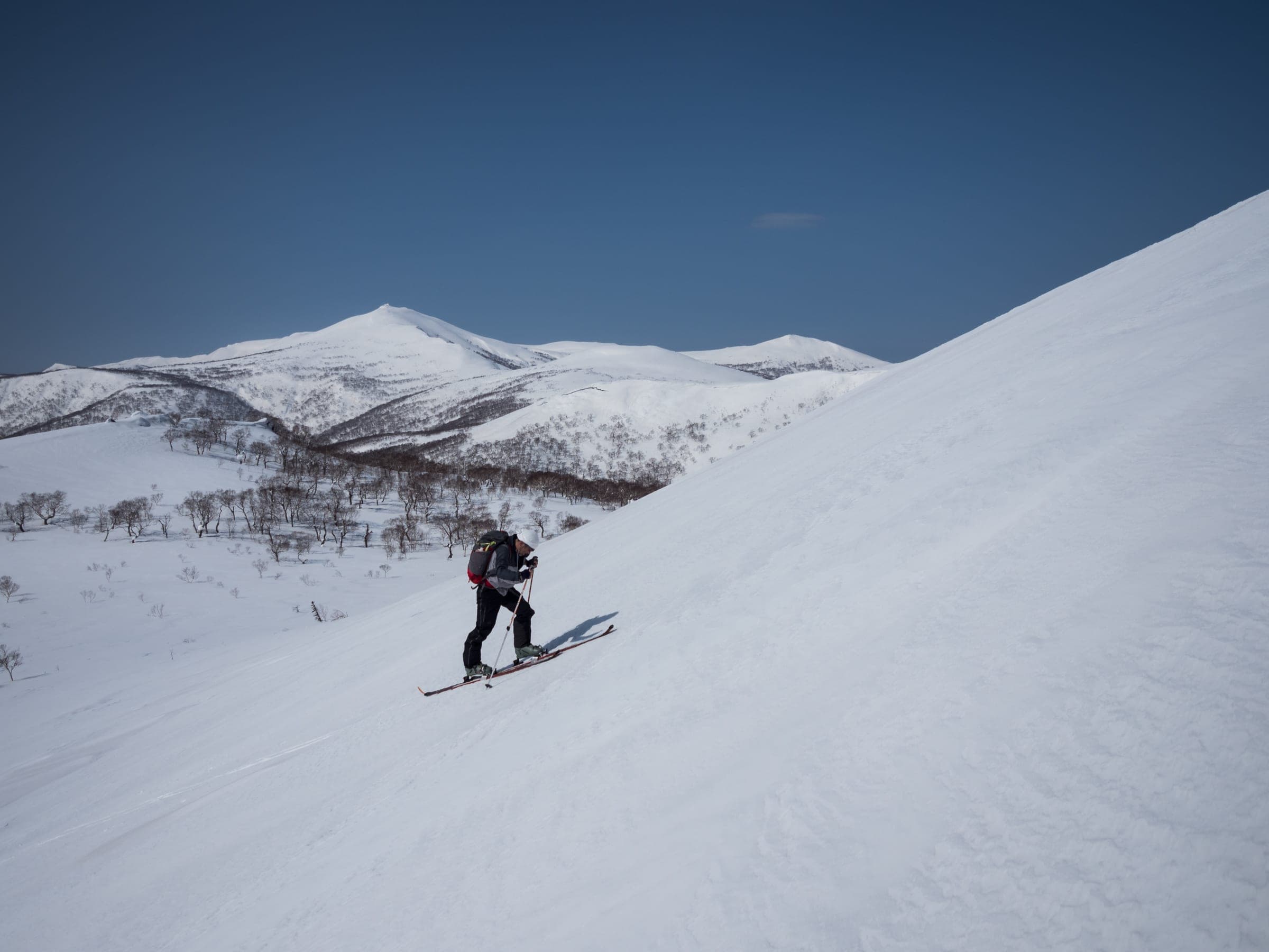
Shakunage-dake South Faceシャクナゲ岳
750 m ascent · advanced
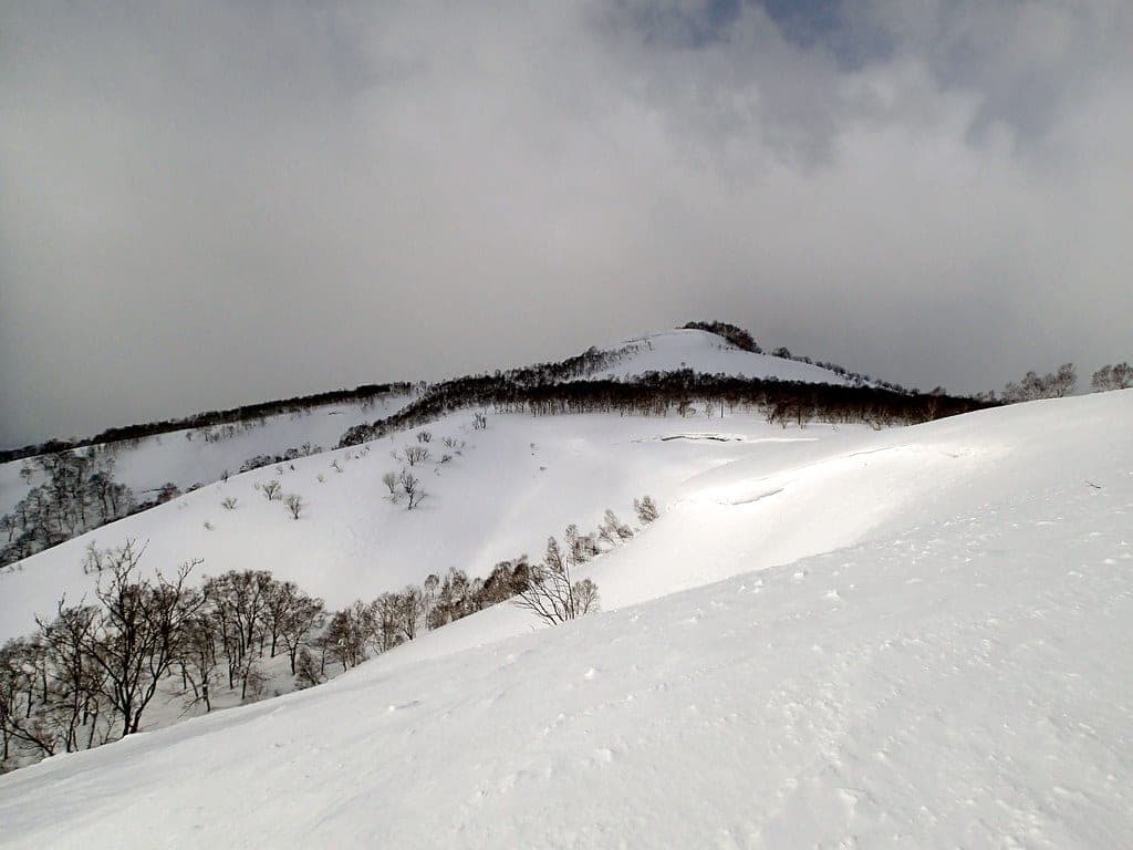
The route leaves the end of the plowing on the Niimi Pass road and follows a low ridge, then a short, sharp climb and a flat birch ridge, to the south face below the summit. Allow about three hours up for 9 km round trip. The faces below the summit and below the 828 m point are steep enough to slide, and the wide ridges lose their shape in cloud.
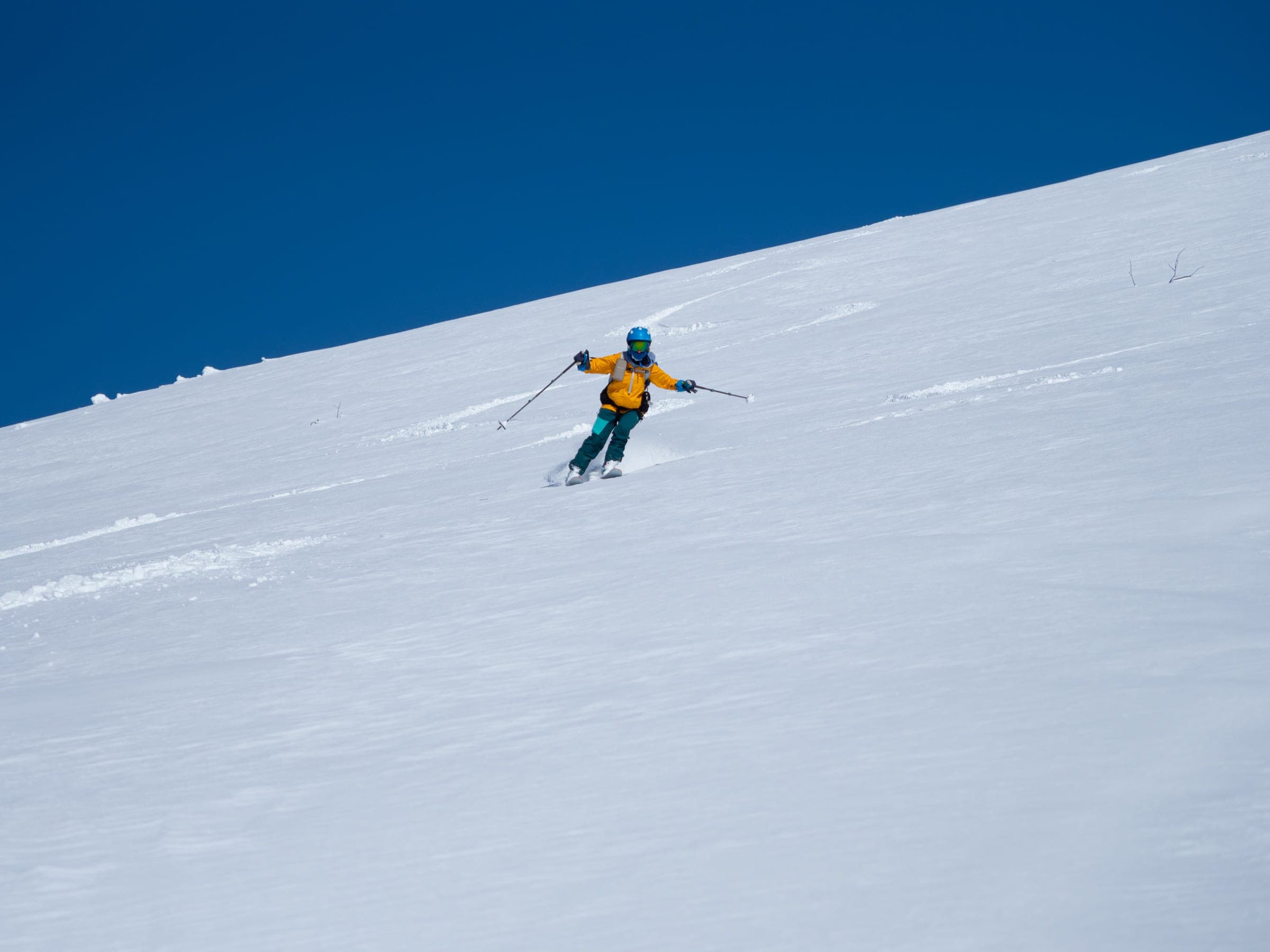
Mekunnai-dake South Face目国内岳
1,030 m ascent · advanced
This southern approach has drawn most Mekunnai traffic since Niimi Onsen came down in 2020 and Route 268 stopped being plowed. It climbs gently from a small roadside start to the featureless plateau above 900 m and on to the rocky summit, about four hours up over 13.5 km round trip in spring snow.
Maemekunnai-dake south approach前目国内岳
700 m ascent · intermediate
You walk about 4.5 km up the unplowed Route 268 past the Niimi Onsen ruins, then climb a ridge toward Niimi Pass to the 1,000 m top and ski its south face. The deep creek crossing near 650 m is a terrain trap in midwinter, and the road back is too flat to glide without poling.
Follow the published lines in 3D立体地図
8 trip reports
What riders report from the hill山行記録
2020-01-18 · Hokkaido Wilds trip report
The public uptrack beside the Chisenupuri cat area is well marked, and a sign put a single 8 am cat ride at ¥2,000. The guide warns that by 9 am on a busy day you may be too late for untracked snow.
Read the source2020-12-30 · Hokkaido Wilds trip report
Parking at the Yusato gate on Route 66 is very tight, and the guide says Docomo phones work there while other carriers may not. The face often sits in the lee of prevailing storms and holds some of the deepest snow in the range, and the Koyunuma hot pond makes a detour on the way out.
Read the source2020-01-18 · Hokkaido Wilds trip report
By 8:30 am a handful of cars filled the cleared space at the Route 66 winter gate. The steep first slope above the road is the danger point, and a 2009 avalanche below the plateau buried four people.
Read the source2022-02-11 · Hokkaido Wilds trip report
After a clear, cold night the west-northwest slope off the false summit carried surface hoar over good powder into well-spaced trees. On the second lap the author dropped in ahead of a guided group at the treeline, his party got an earful from the guests, and he says he should have waited the 20 minutes for them to go.
Read the source2022-01 · Hokkaido Wilds trip report
In a report published in January 2022, breaking trail around the east flank meant hip-deep kick turns, and the party dug a pit at about 920 m on the east spur before committing. The top third of the chute has almost no escape to the sides.
Read the source2022-02-05 · Hokkaido Wilds trip report
The bootpack from Gate 2 was wind-scoured and punched through to the scrub, and skins made the climb easier. A gale blew across the summit, and the north face below held powder all the way down.
Read the source2022-03-09 · Hokkaido Wilds trip report
Since Niimi Onsen was demolished and Route 268 stopped being plowed, this southern approach has become the popular way up Mekunnai. The party started at 6 am, and the plateau above 900 m gives nothing to steer by in cloud.
Read the source2022-03-25 · Hokkaido Wilds trip report
Starting from Goshiki, the best turns of the traverse came on the northeast slopes off Nitonupuri even in warm weather. The party contoured high around Chisenupuri and would stay lower next time to keep off steep sidehills.
Read the source
Go with a guideガイド


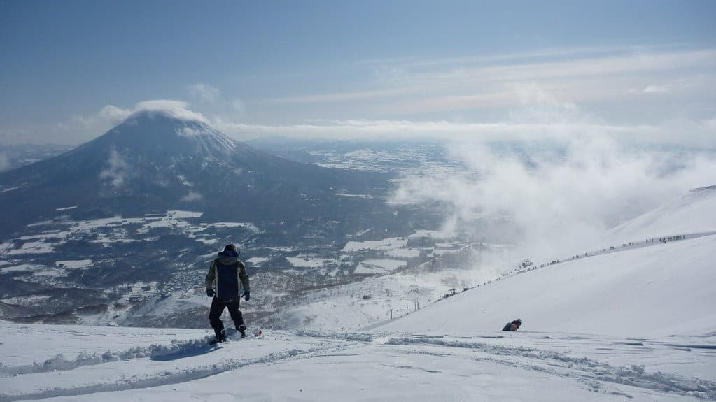
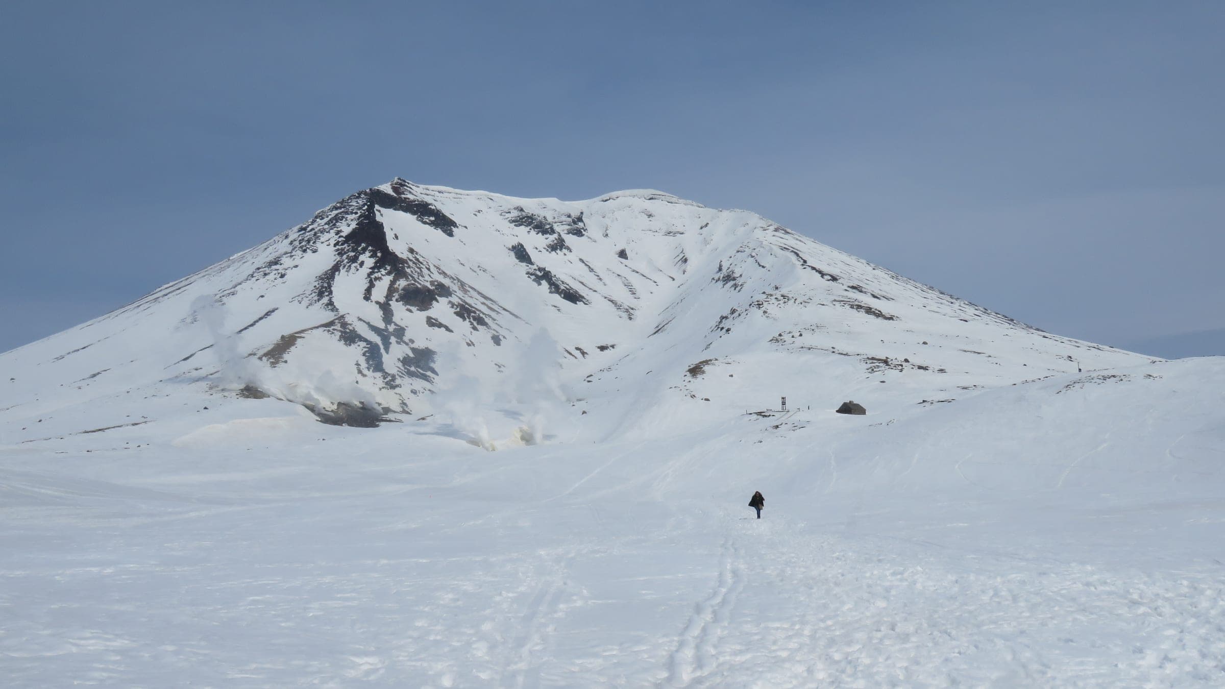
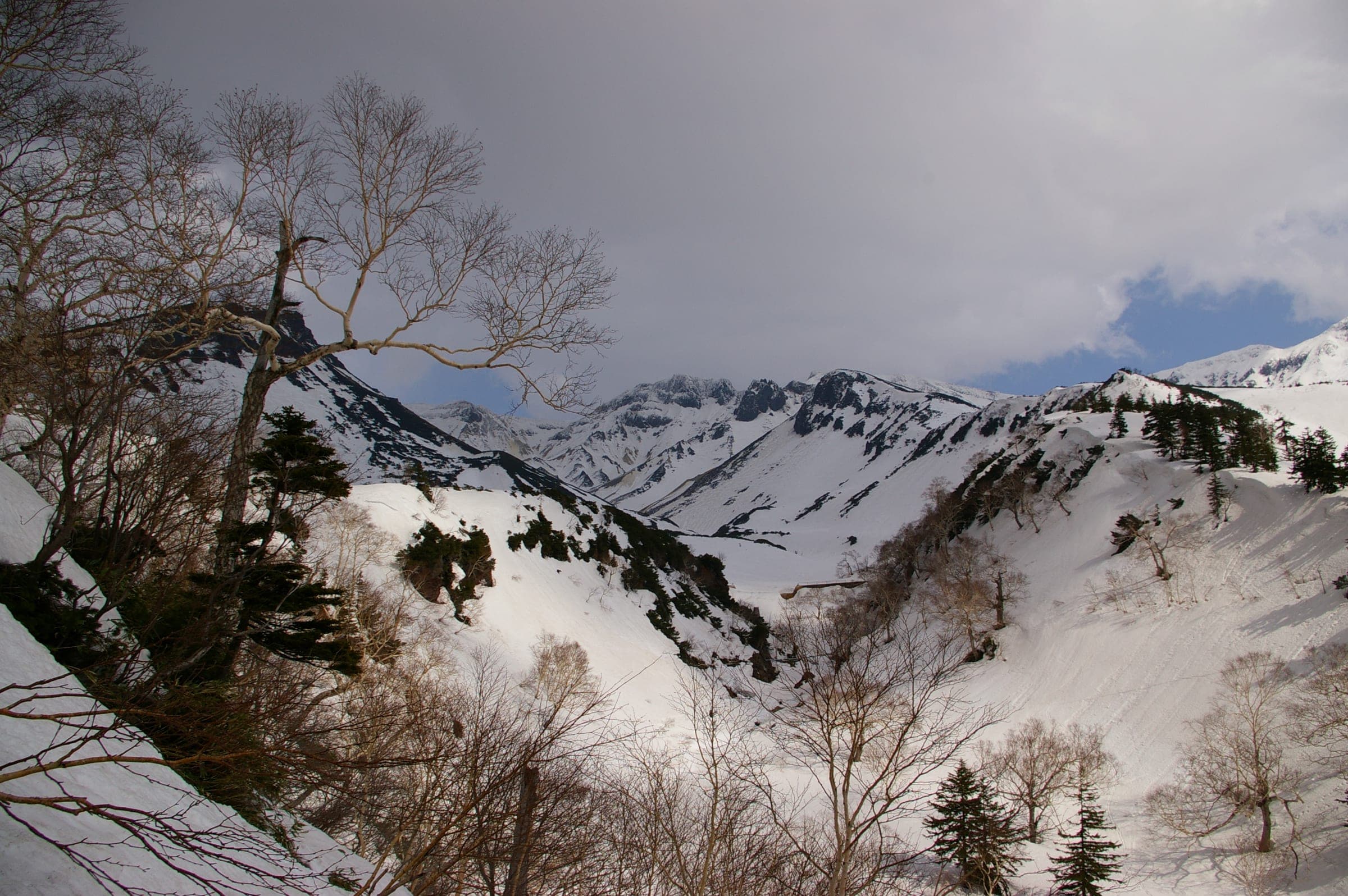
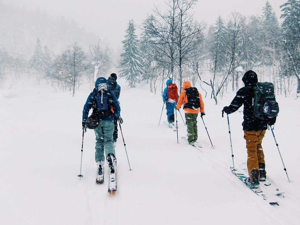
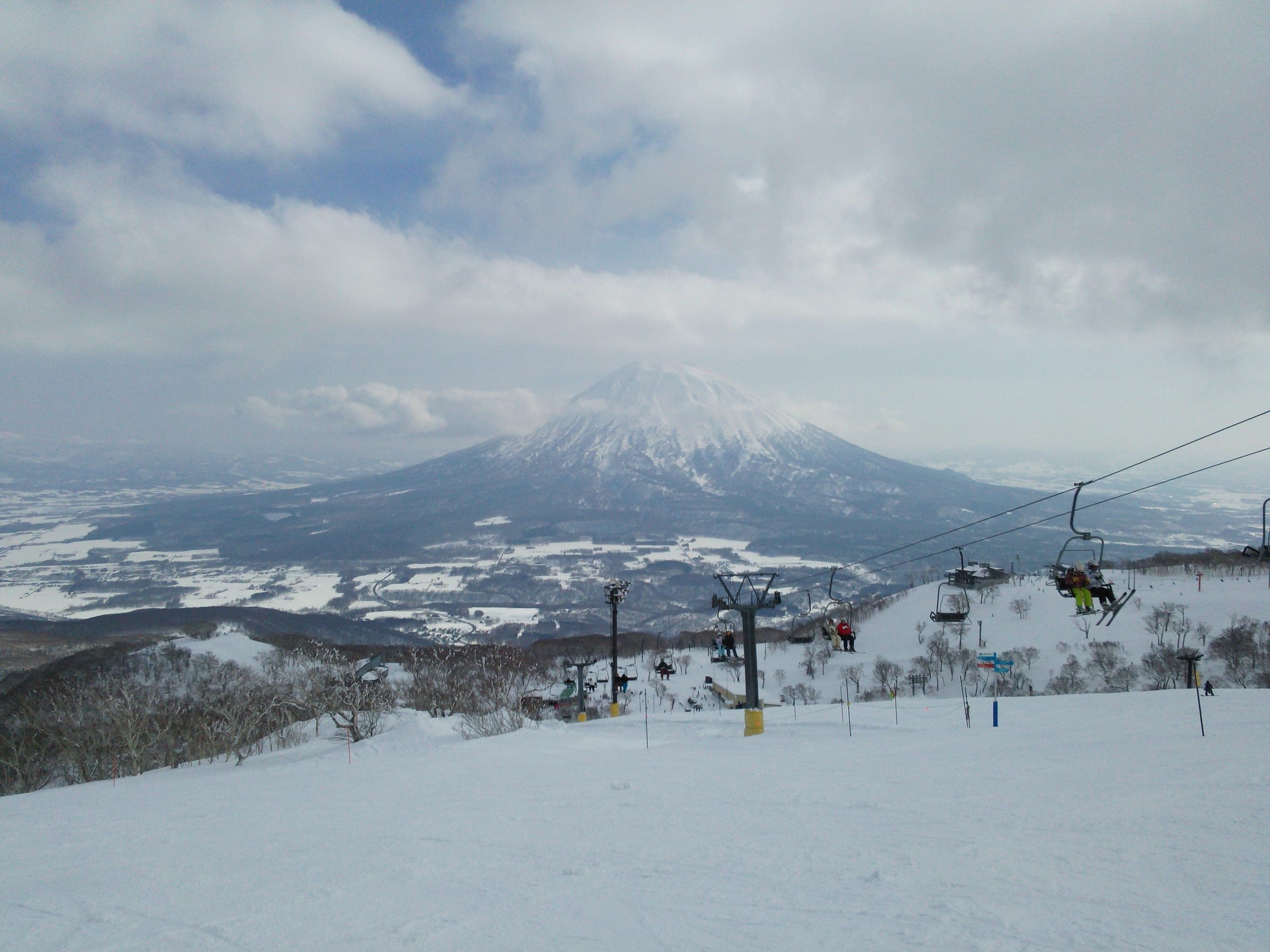
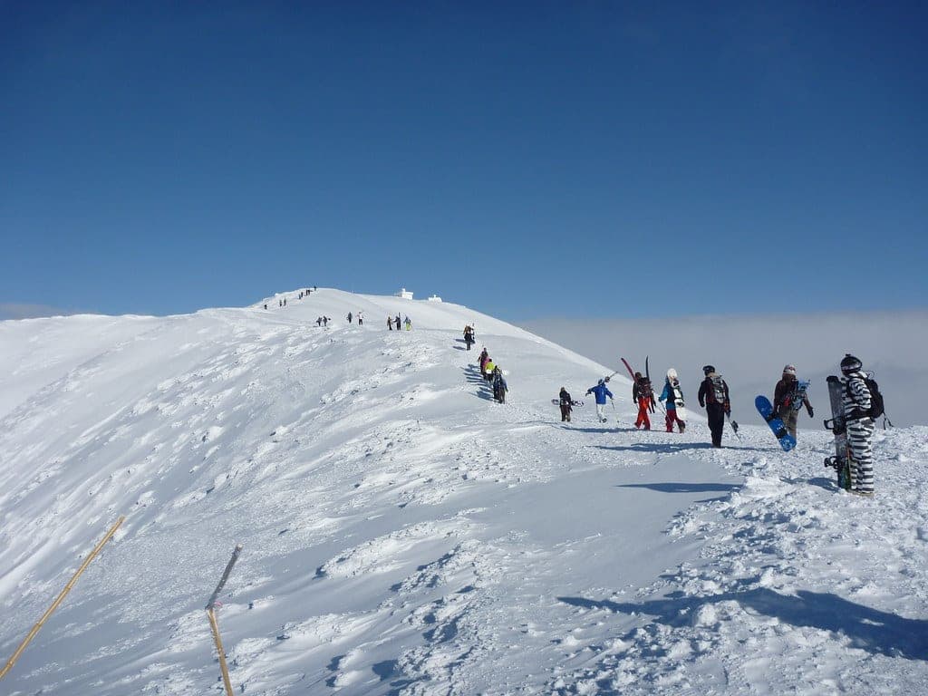
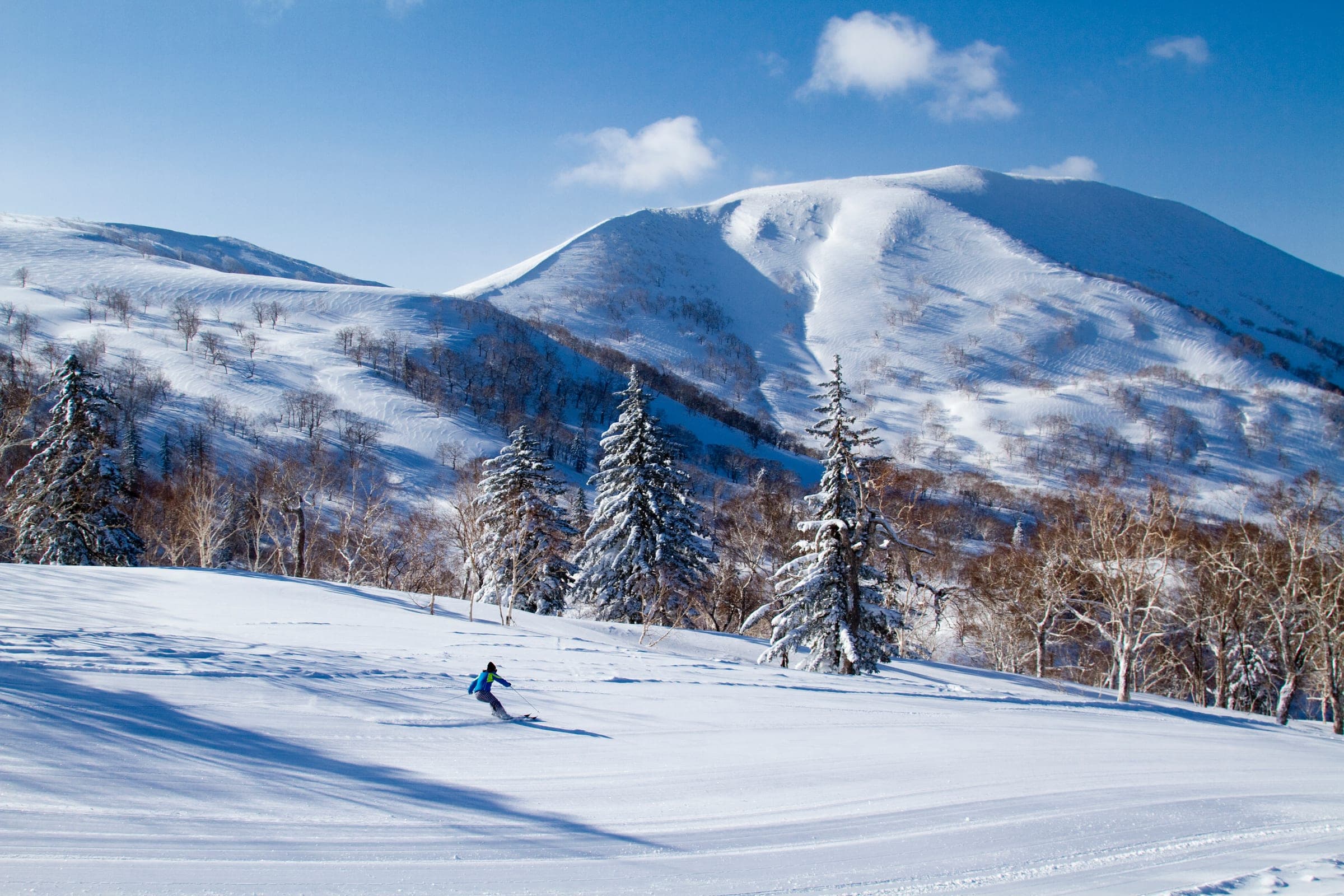
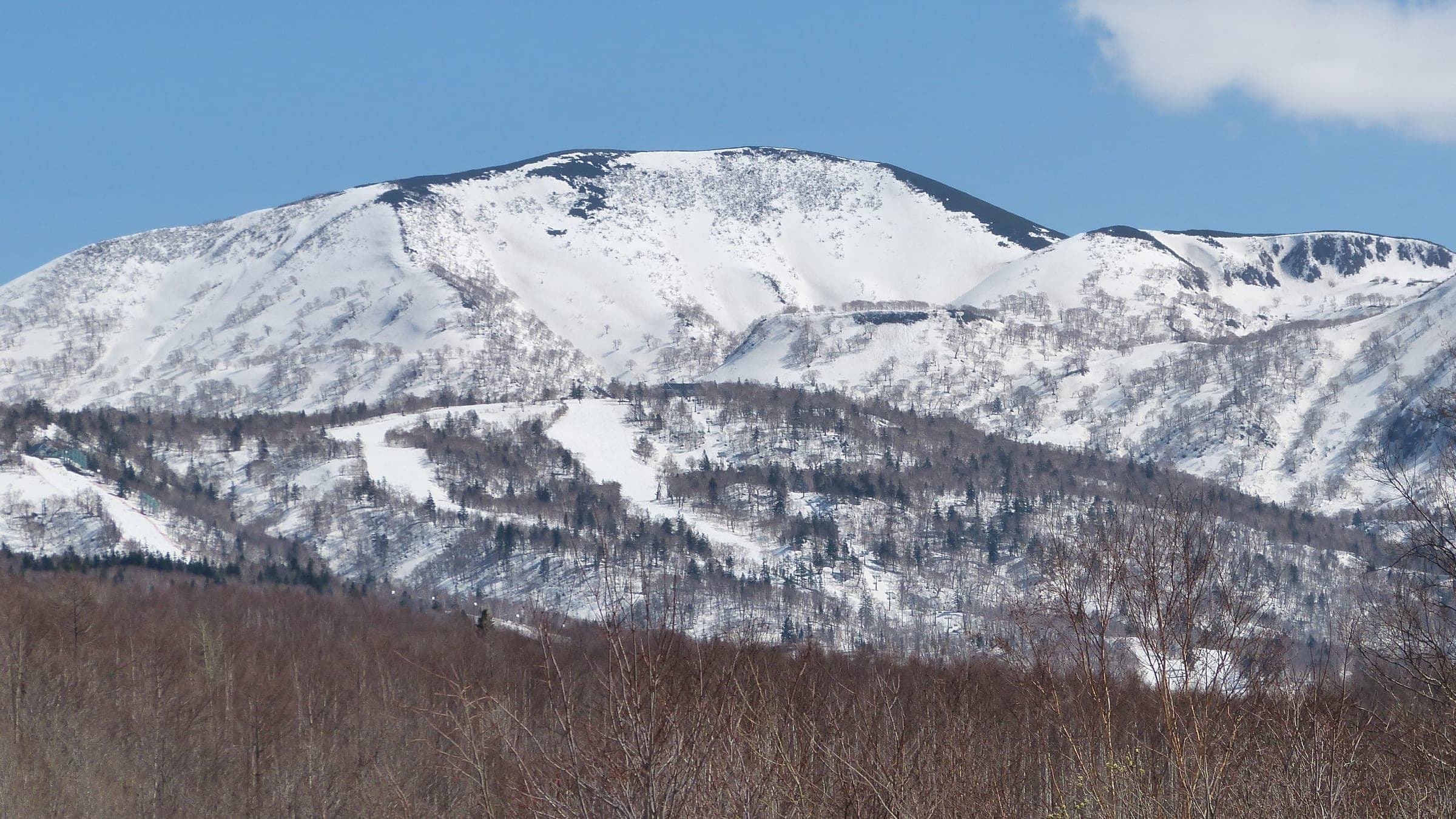
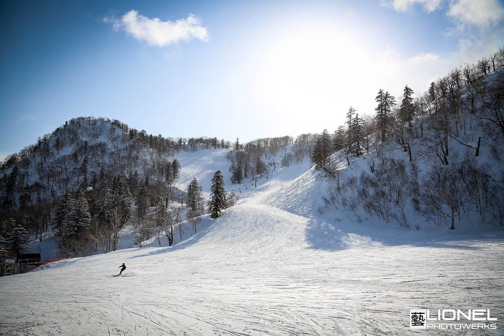

The Niseko Range carries on west from Annupuri as a line of low volcanoes. Iwaonupuri and Nitonupuri rise right above the Goshiki hot springs with Chisenupuri just beyond them, and Shakunage-dake and Mekunnai-dake stretch the line toward the coast. None of them tops 1,220 m. The climbs are short, and the hard part is the weather that comes straight off the Sea of Japan.
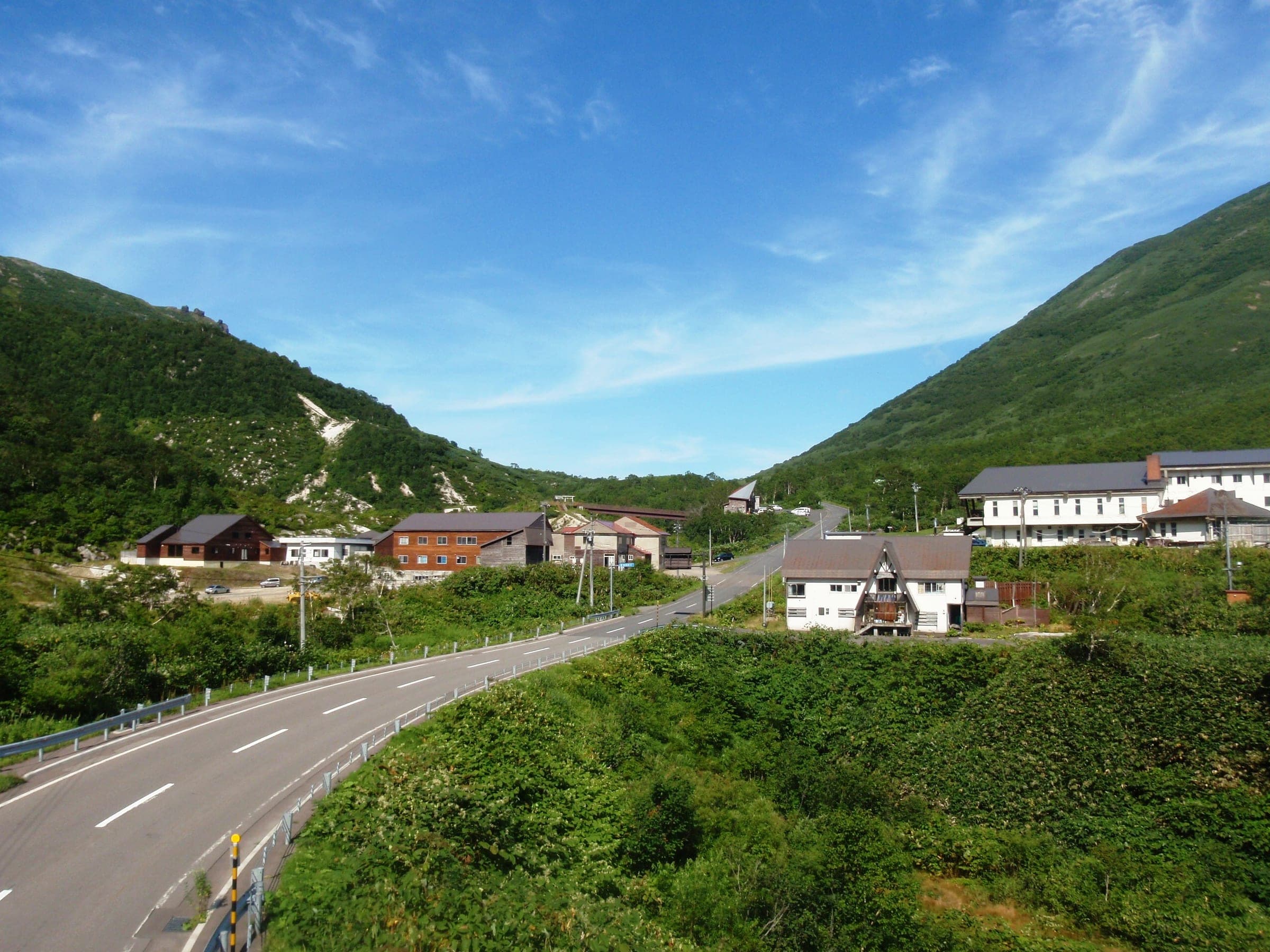
Winter road closures decide where you can start. Route 66 over the Panorama Line closes for 18.3 km and is plowed from the Rankoshi side only as far as the Yusato Gate above Chisenupuri village, so Shinsen-numa is out of reach. The Goshiki Onsen spur stays open to a big lot just past the onsen. Those two road ends and the old Chisenupuri ski area put you within three or four hours of most summits in the range.
Chisenupuri's south face is the gentlest start. It climbs about 540 m from the ski-area car park on an uptrack marked in orange. Nitonupuri gives three faces from the Yusato Gate, and a 2009 avalanche on the steep first slope above the road buried four people. Iwaonupuri is the one with teeth. Its south ridge takes about three hours from Goshiki, and the northeast chute drops about 200 m at 35 to 40 degrees under a convex roll that loads with wind slab.
Late in the season the whole range links into the Niseko Haute Route. It runs 31 km from Goshiki Onsen to Shikishimanai on the Raiden coast, and spring parties do it in one or two days with a camp at the old Niimi Onsen site. Annupuri's north face also connects to Goshiki through Gate 2 or Gate 3 and gives resort riders a first taste of the range. Read the Niseko avalanche bulletin and file a plan through Compass before any of it.
Quick answers about Niseko Rangeよくある質問
How long is a tour on Niseko Range?
A typical tour on Niseko Range climbs 300–700 m for most day tours; 2,000–2,500 m over the full Haute Route and takes 3–5 hours for most day tours; 1–4 days for the Haute Route.
When can you ski tour Niseko Range?
The touring season on Niseko Range runs december to April; road-access tours from the Yusato Gate and Goshiki Onsen are best January to March, and the Haute Route goes in March and April.
Do you need a guide for Niseko Range?
We recommend a certified guide for Niseko Range unless your group can read the snowpack and run its own rescue.
Where do you check avalanche danger for Niseko Range?
Read the day's bulletin from Japan Avalanche Network (https://nadare.jp/) before every tour on Niseko Range.
Within 30 km
Hot springs nearby温泉

Within 40 km
Ski resorts nearby山
Within 80 km
Backcountry zones nearby山スキー
Within 35 km
Places to stay nearby宿
Within 35 km